Projekt
Wspólnota
Aktualności
Moja aplikacja
Moje mapy
Katalogisierte Karte
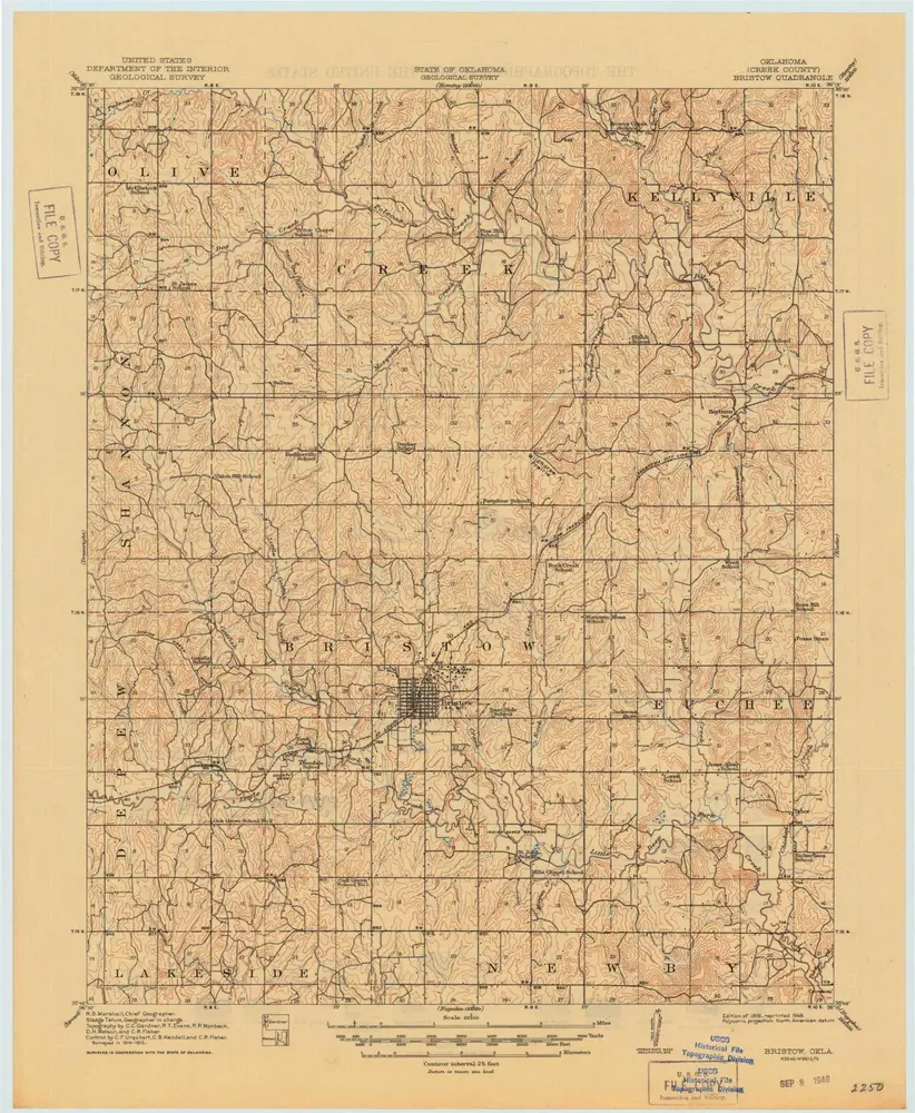
Bristow
Wyświetlanie na zewnętrznej stronie internetowej
Zobacz zdigitalizowane
Einrichtung:
United States Geological Survey
Vollständiger Titel:
Bristow
Jahr der Abbildung:
1916
Veröffentlichungsdatum:
1948
Maßstab der Karte:
1:62 500
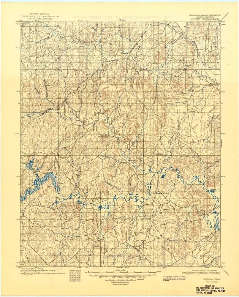
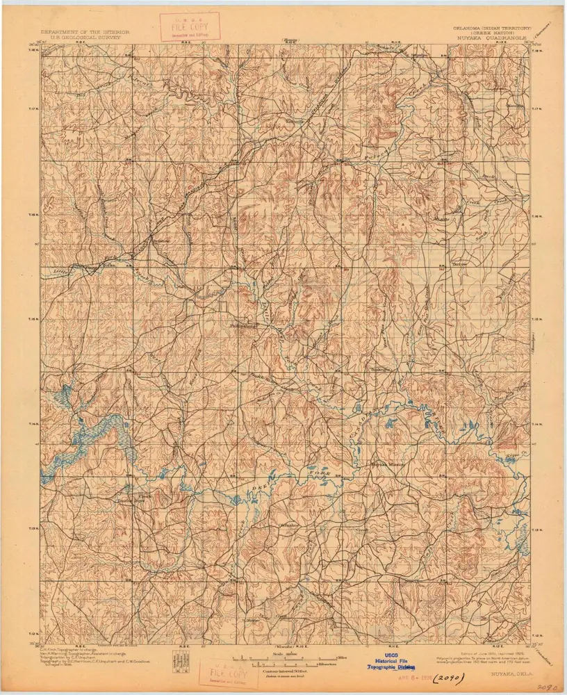
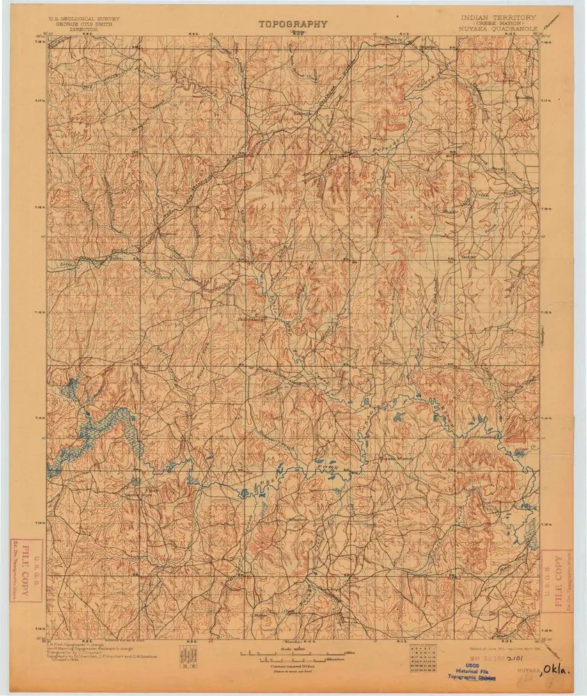
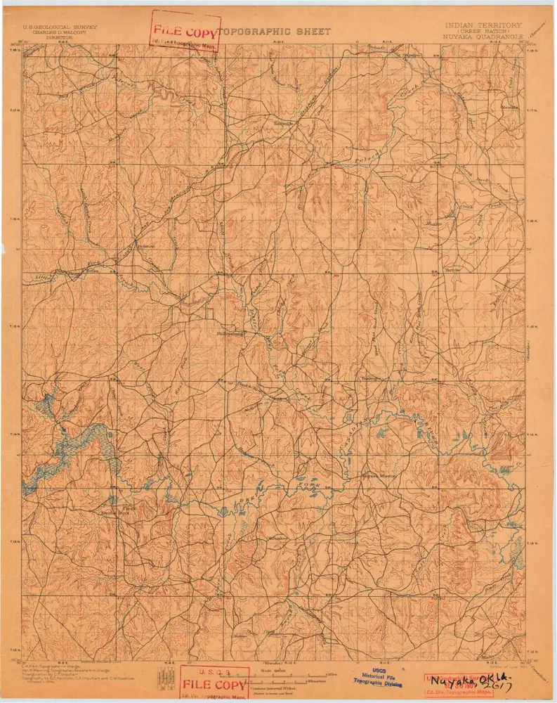
Nuyaka
1901
1:125k
Nuyaka
1901
1:125k
Nuyaka
1901
1:125k
Nuyaka
1901
1:125k
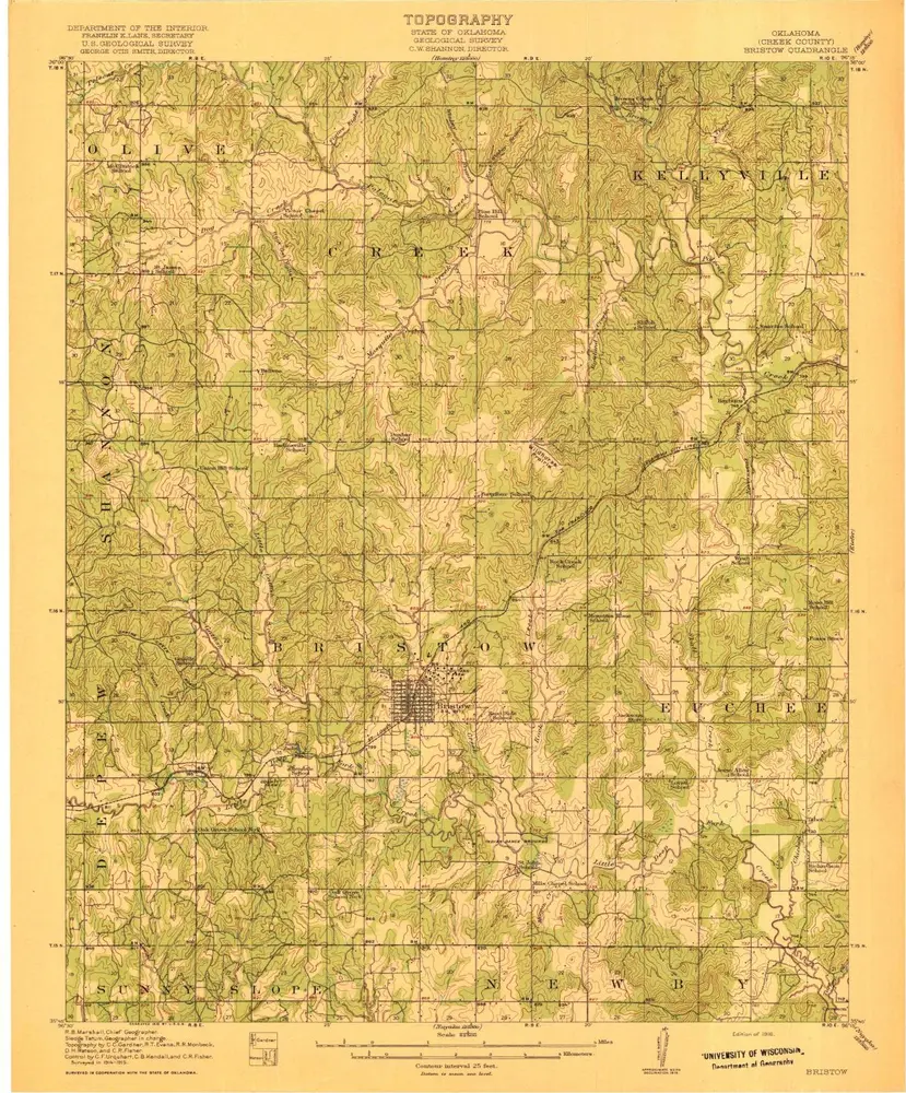
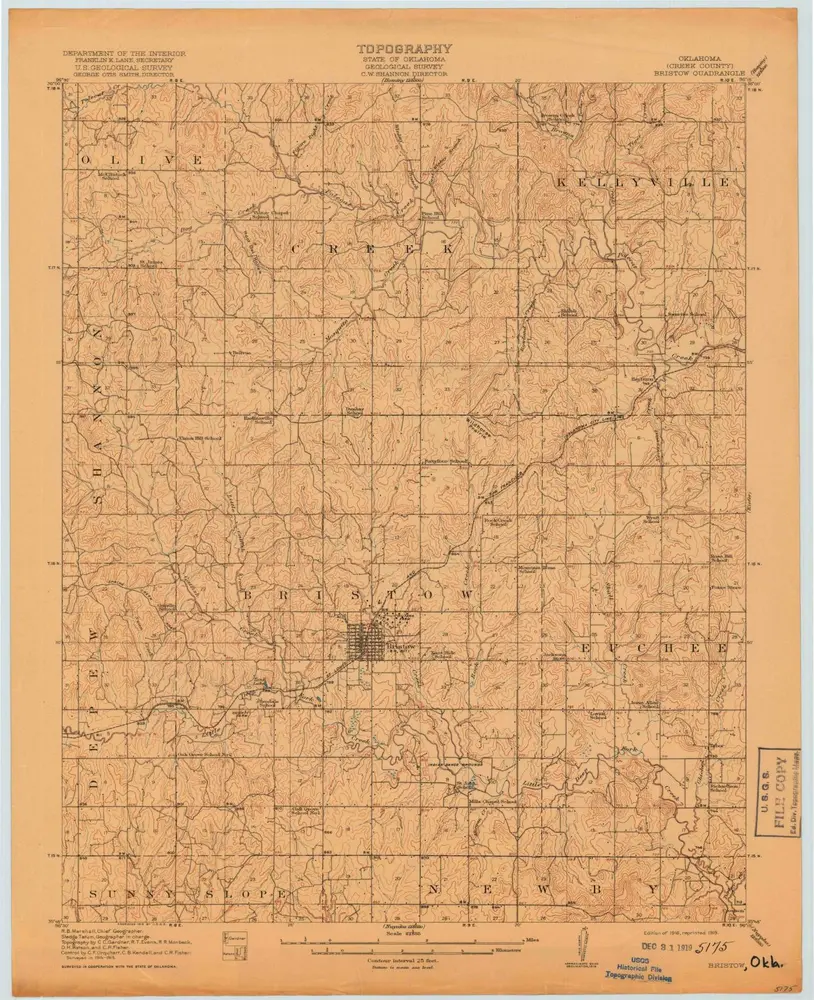
Bristow
1916
1:63k
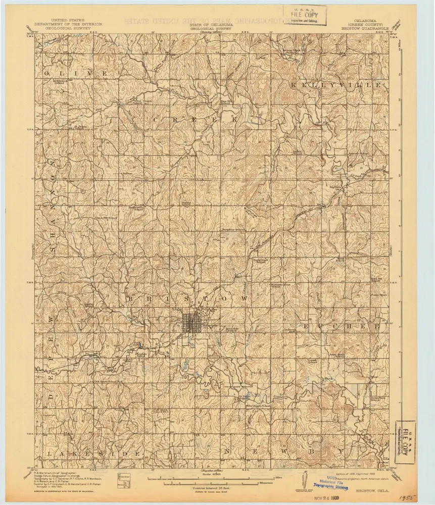
Bristow
1916
1:63k
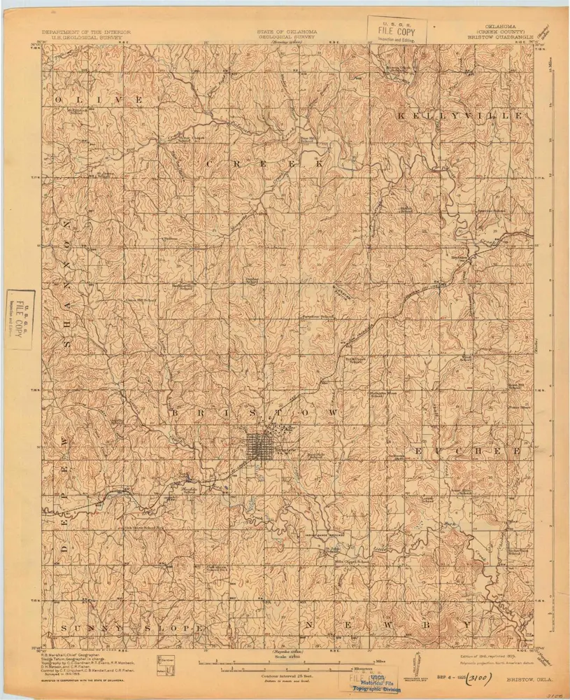
Bristow
1916
1:63k
Bristow
1916
1:63k
Bristow
1916
1:63k
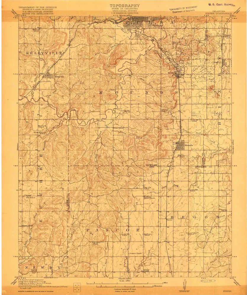
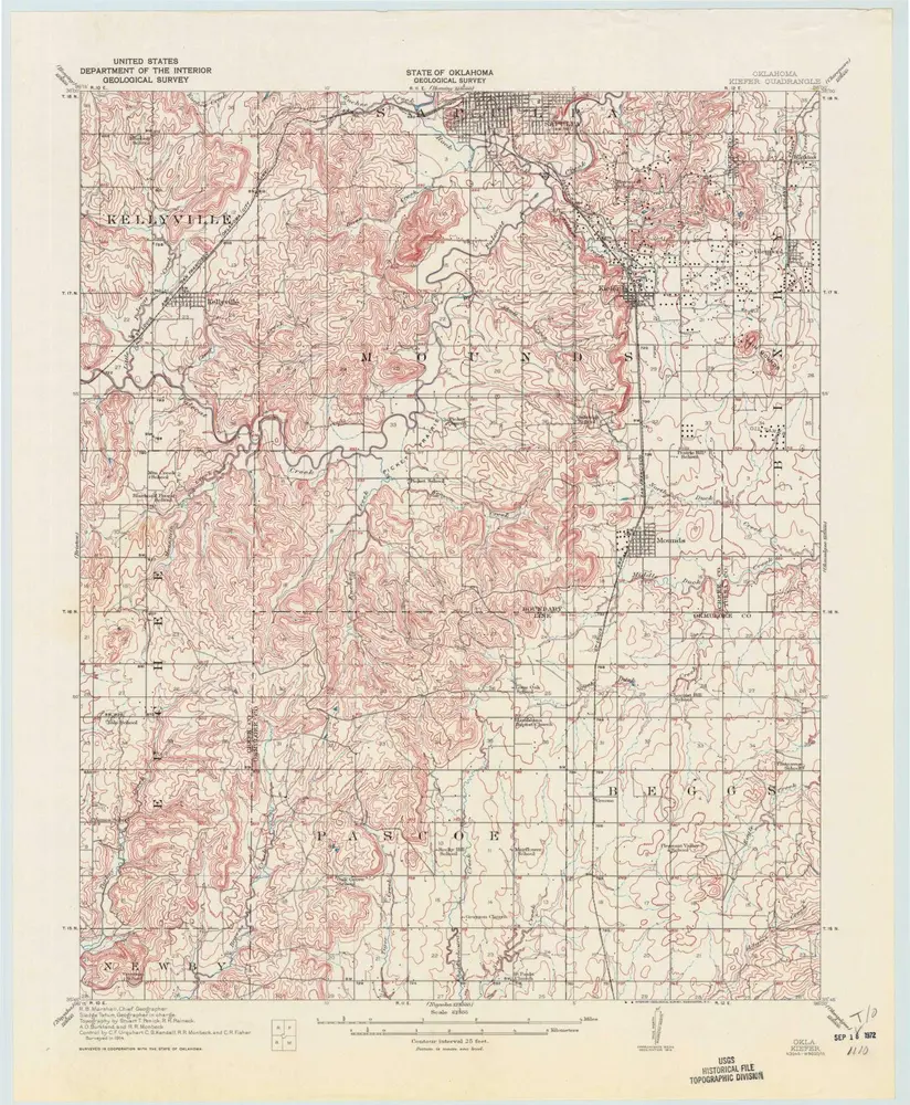
Kiefer
1916
1:63k
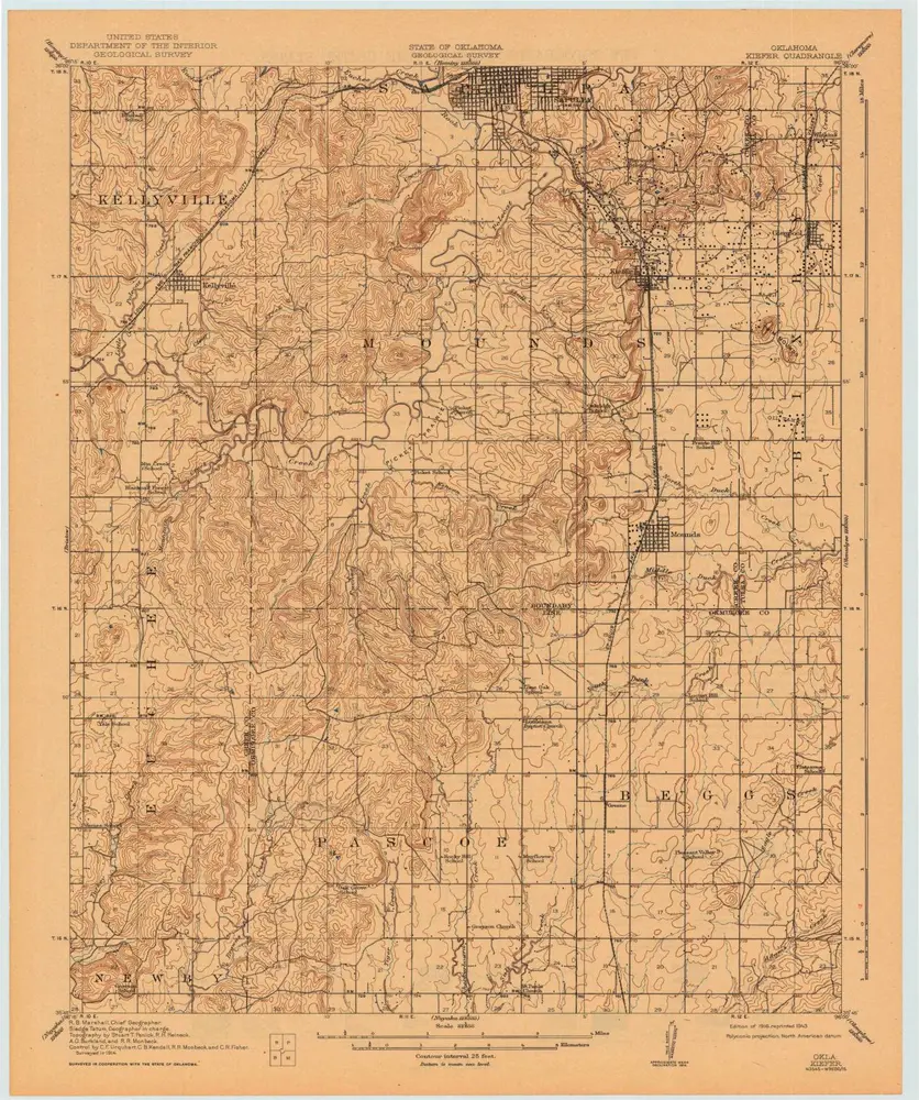
Kiefer
1916
1:63k
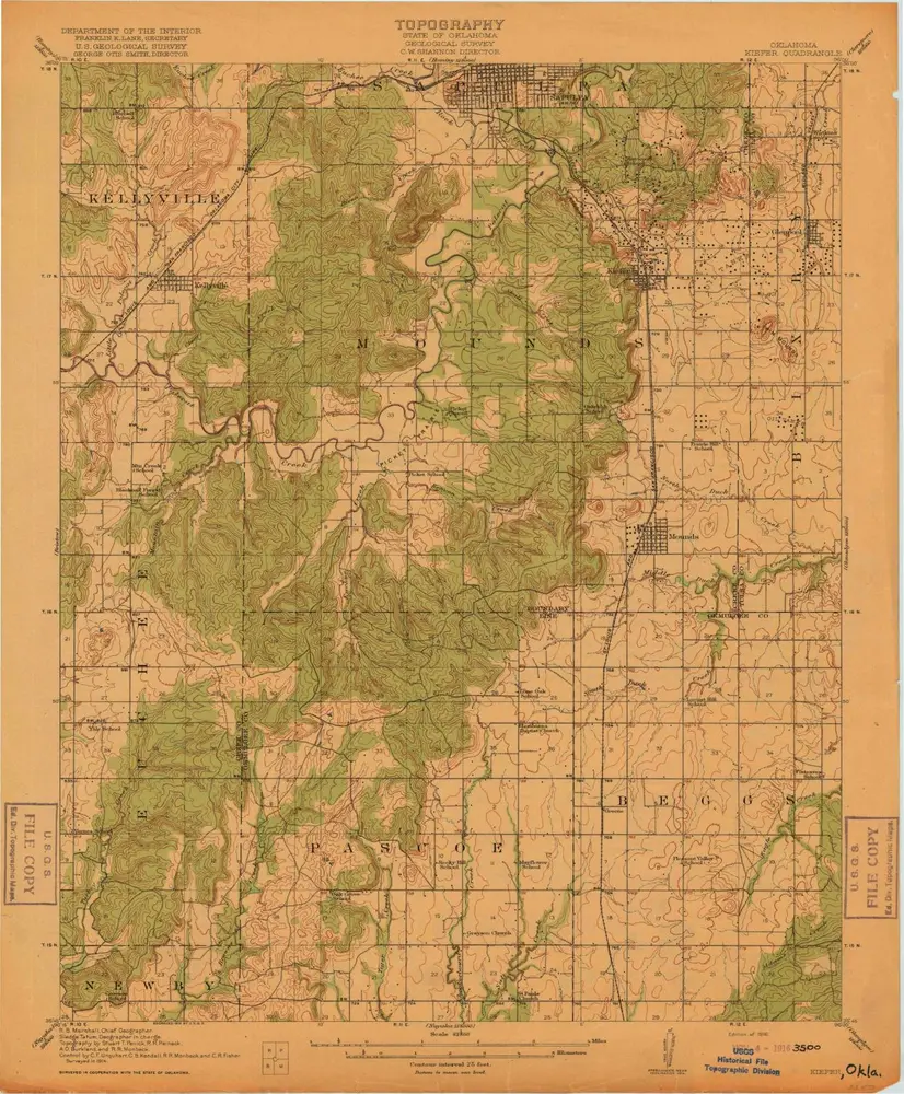
Kiefer
1916
1:63k
Kiefer
1914
1:63k
Geschichte