Carte cataloguée
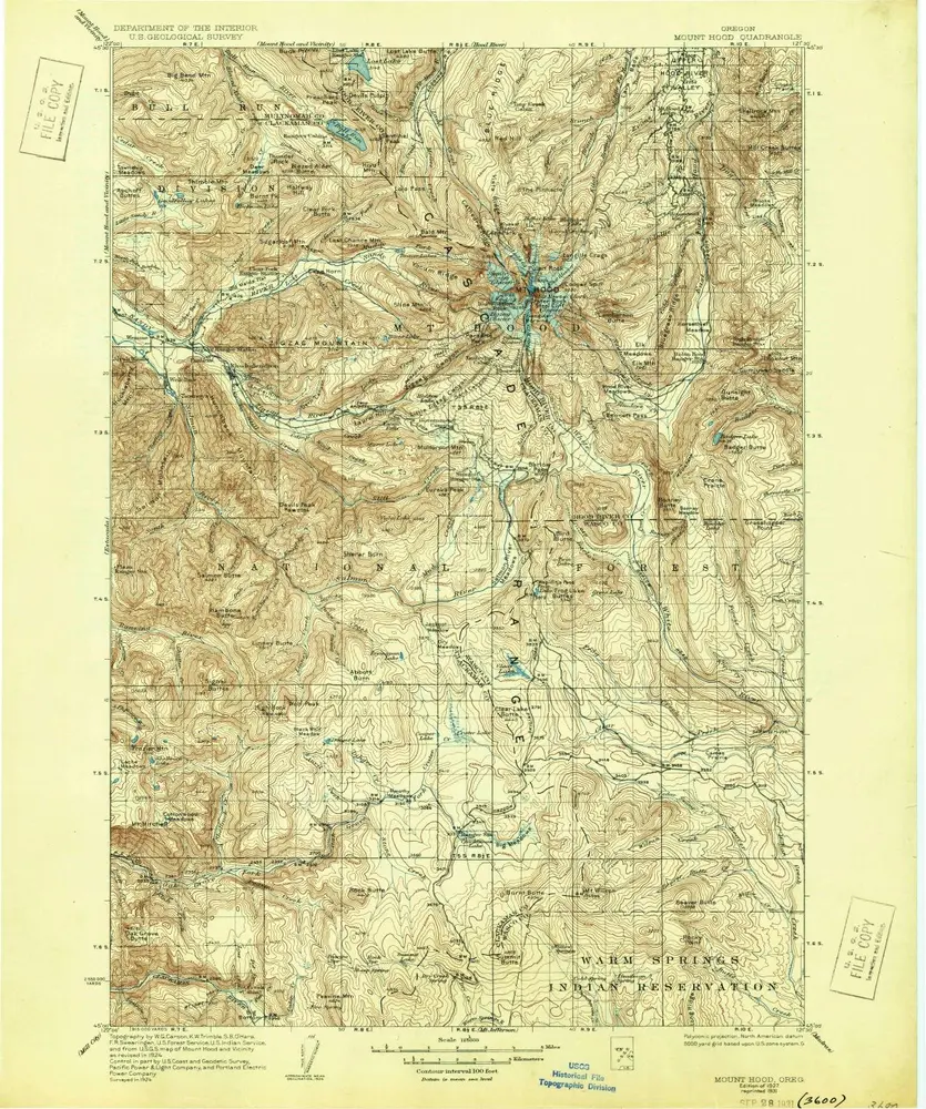
Mount Hood

Institution:United States Geological Survey
Titre complet:Mount Hood
Année de l'image:1924
Date de publication:1955
Échelle de la carte:1:125 000
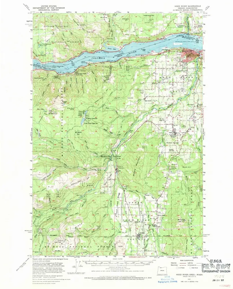
Hood River
1957
1:63k
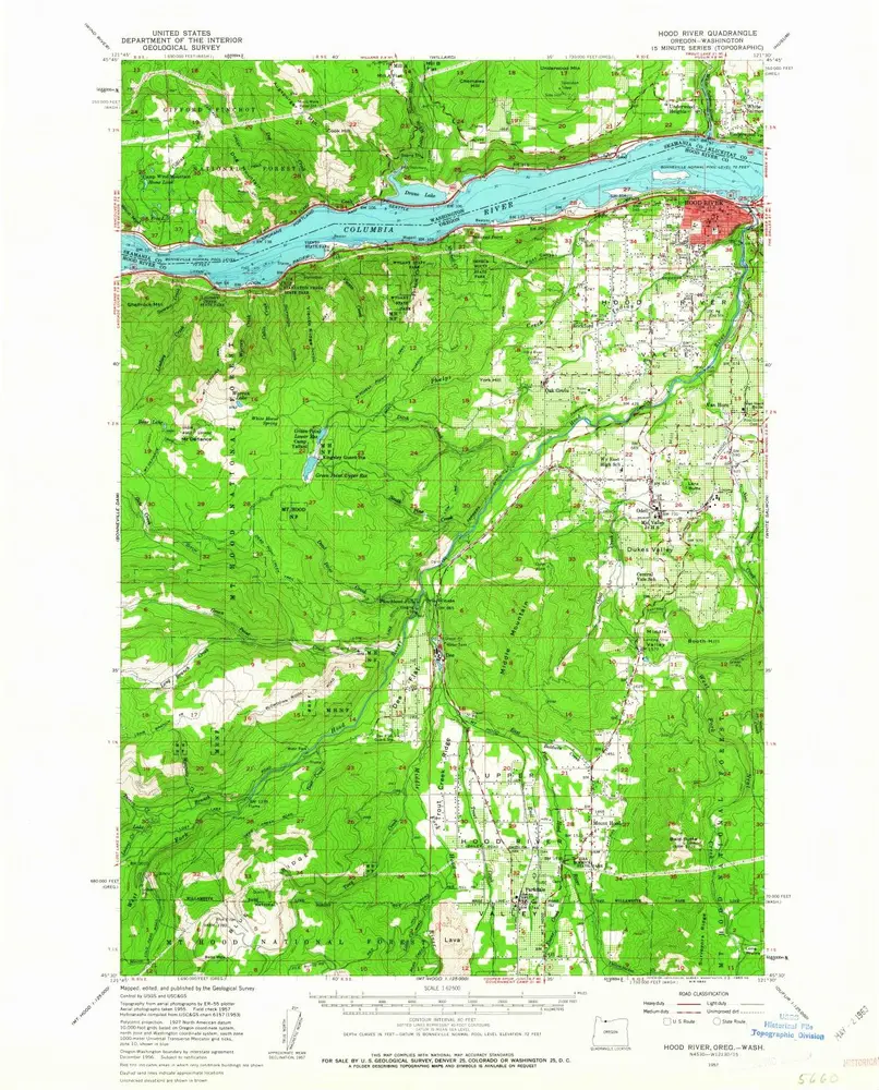
Hood River
1957
1:63k
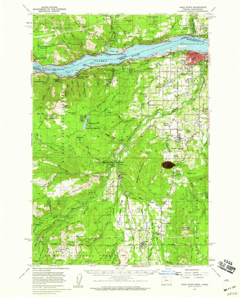
Hood River
1957
1:63k
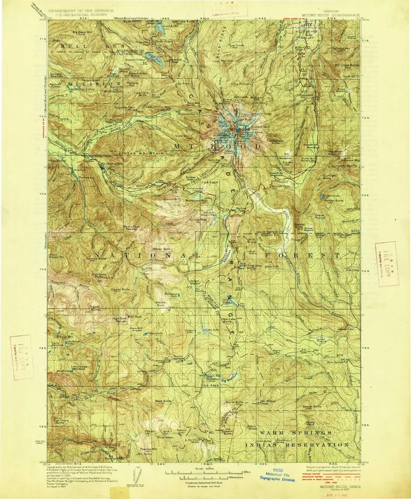
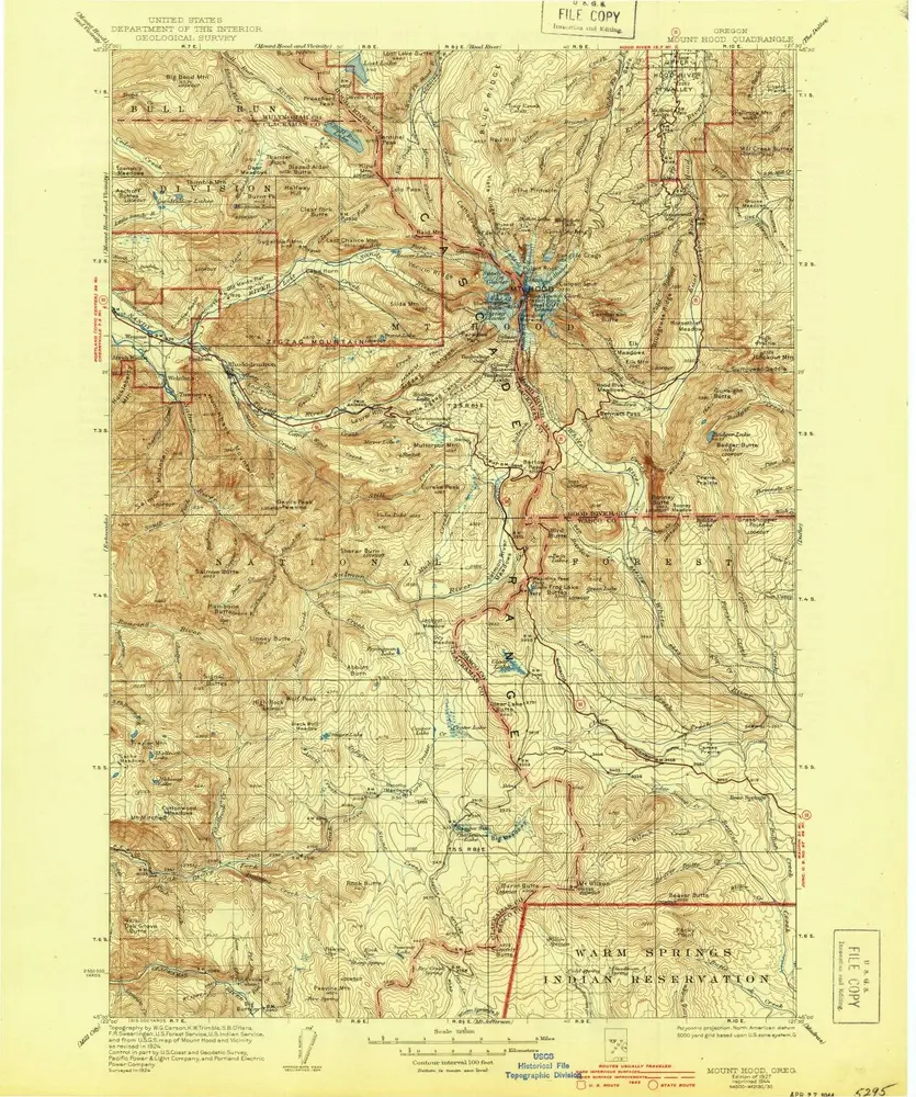
Mount Hood
1927
1:125k
Mount Hood
1927
1:125k
Mount Hood
1927
1:125k
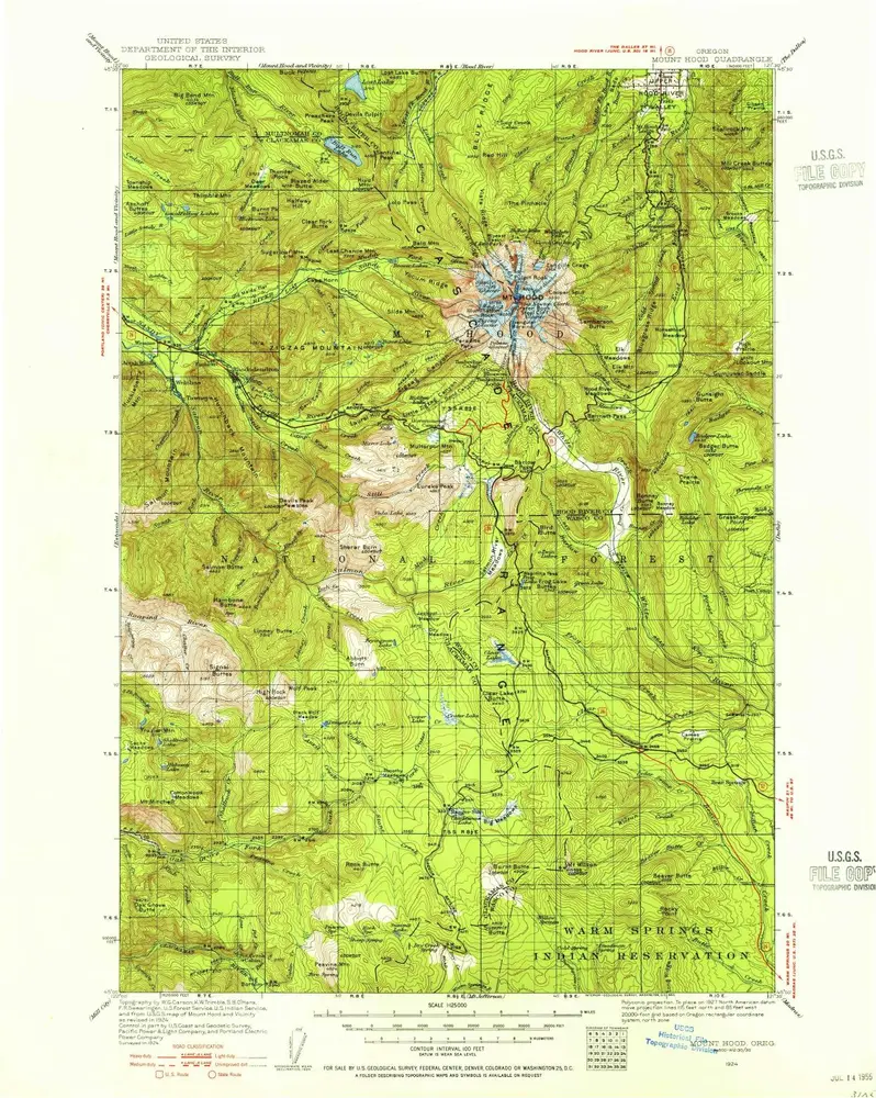
Mount Hood
1924
1:125k
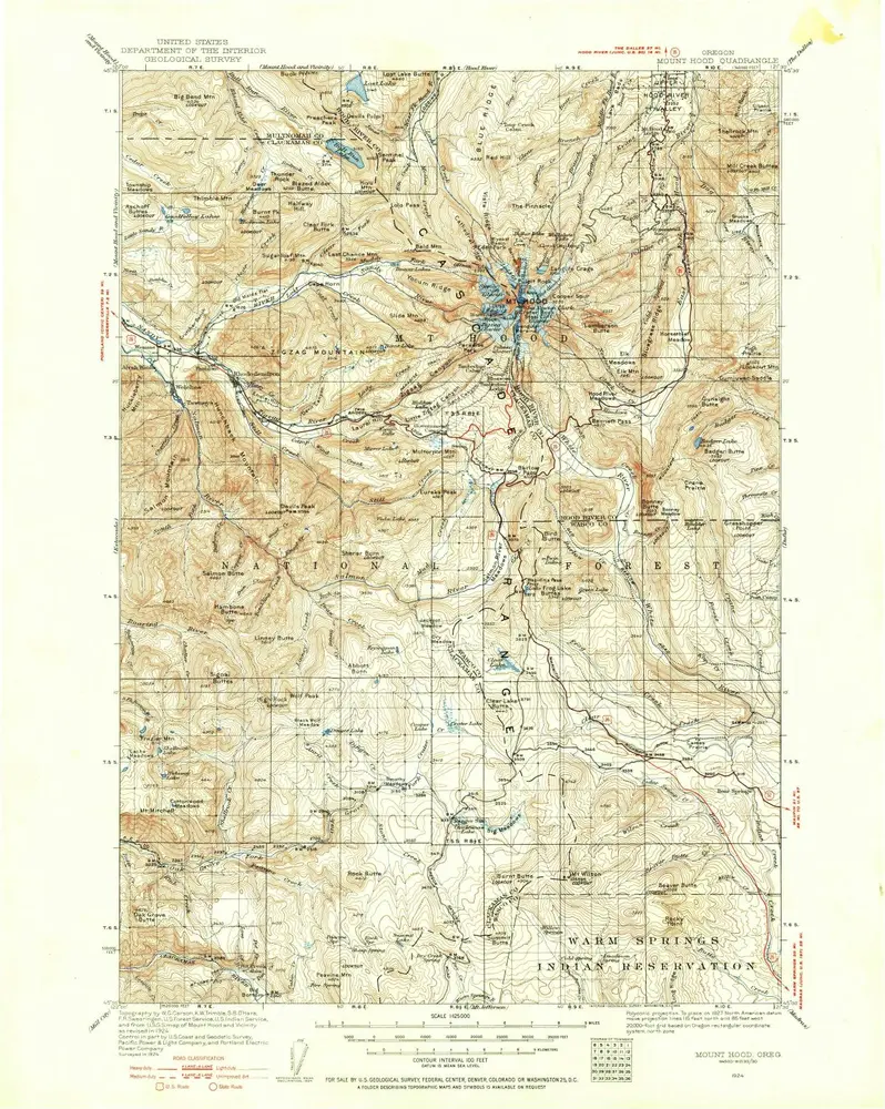
Mount Hood
1924
1:125k
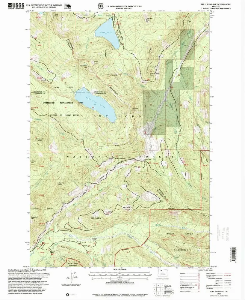
Bull Run Lake
1997
1:24k
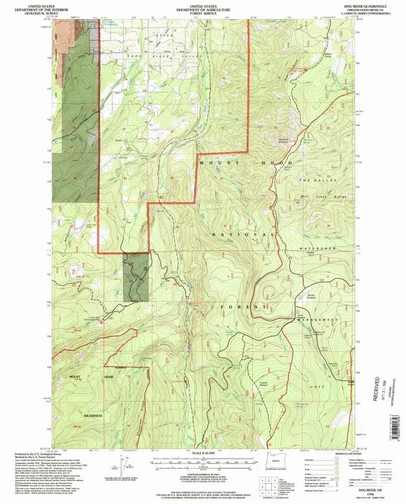
Dog River
1996
1:24k
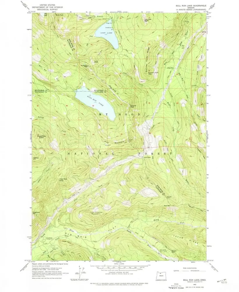
Bull Run Lake
1962
1:24k

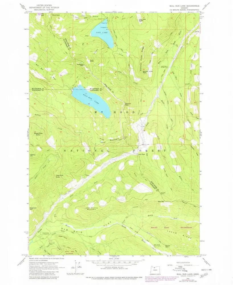
Bull Run Lake
1962
1:24k
Bull Run Lake
1962
1:24k
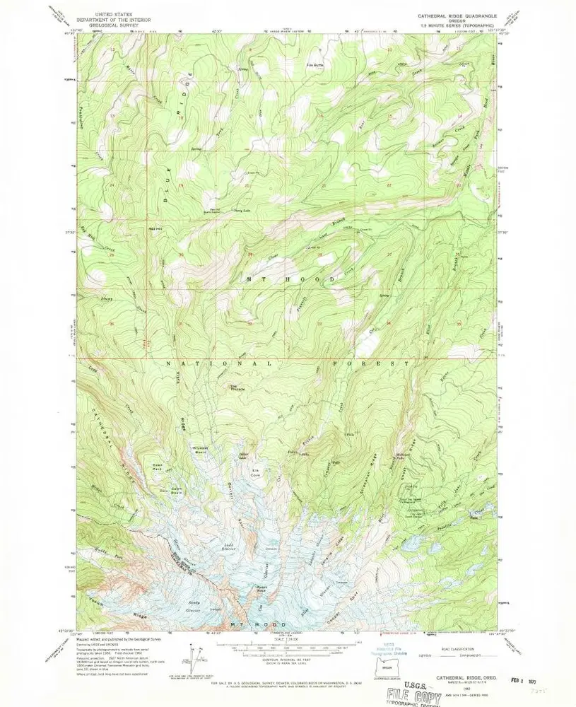
Cathedral Ridge
1962
1:24k
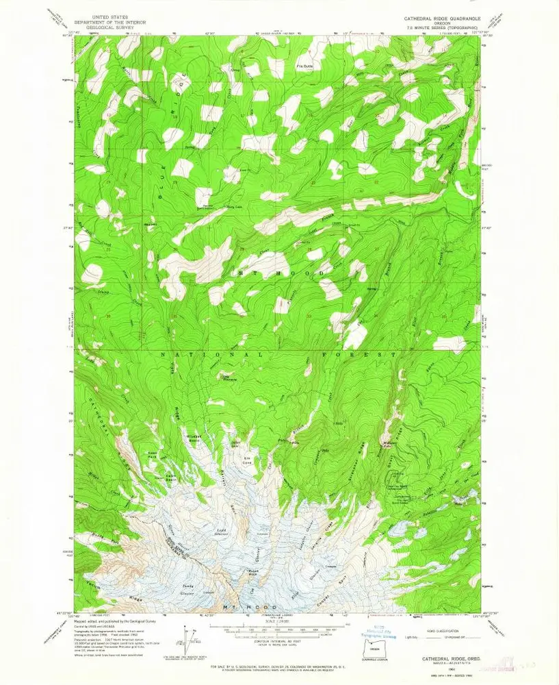
Cathedral Ridge
1962
1:24k
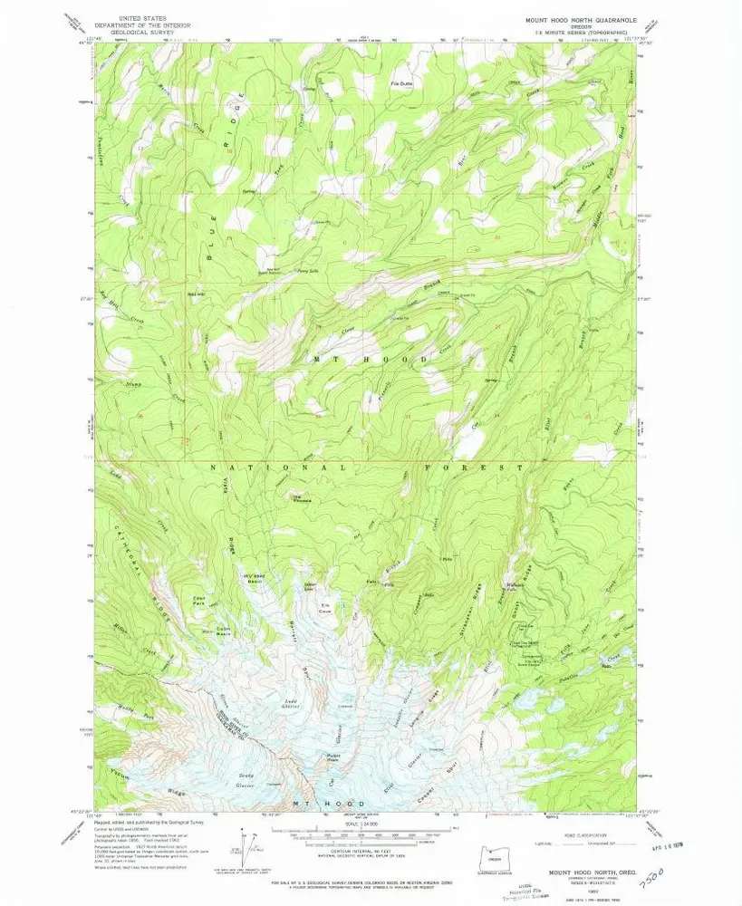
Mount Hood North
1962
1:24k
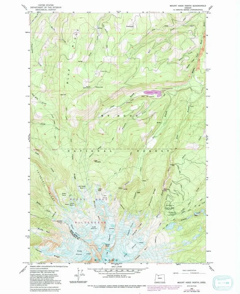
Mount Hood North
1962
1:24k
Mount Hood North
1962
1:24k
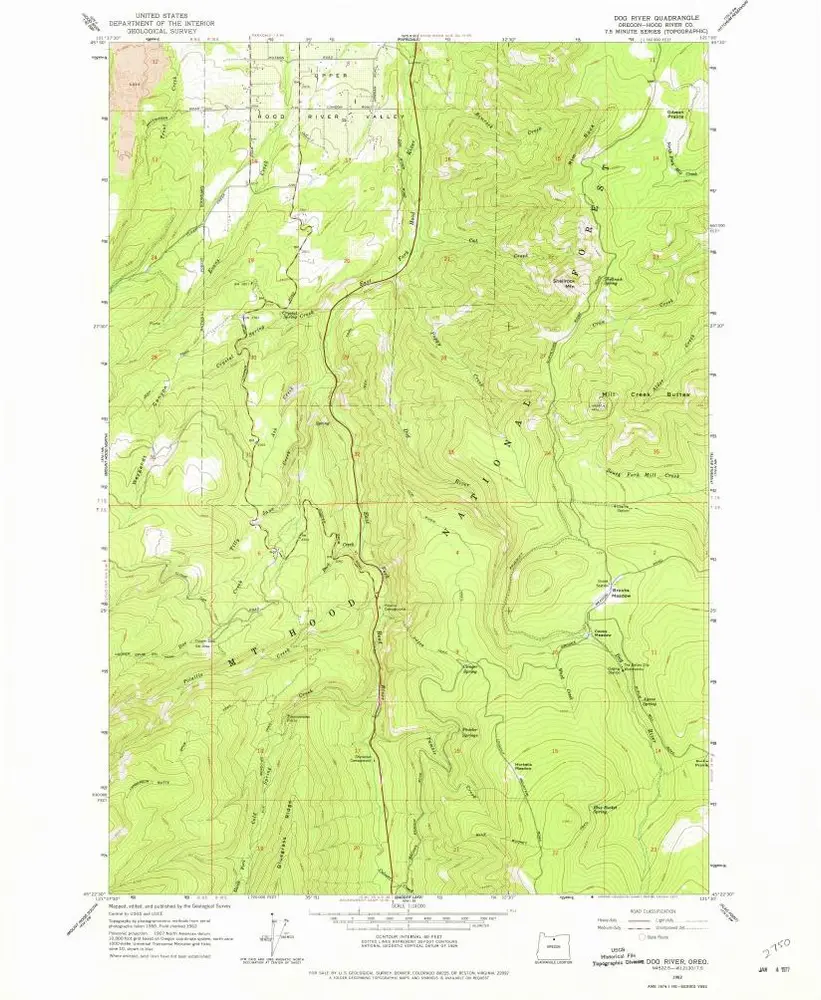
Dog River
1962
1:24k
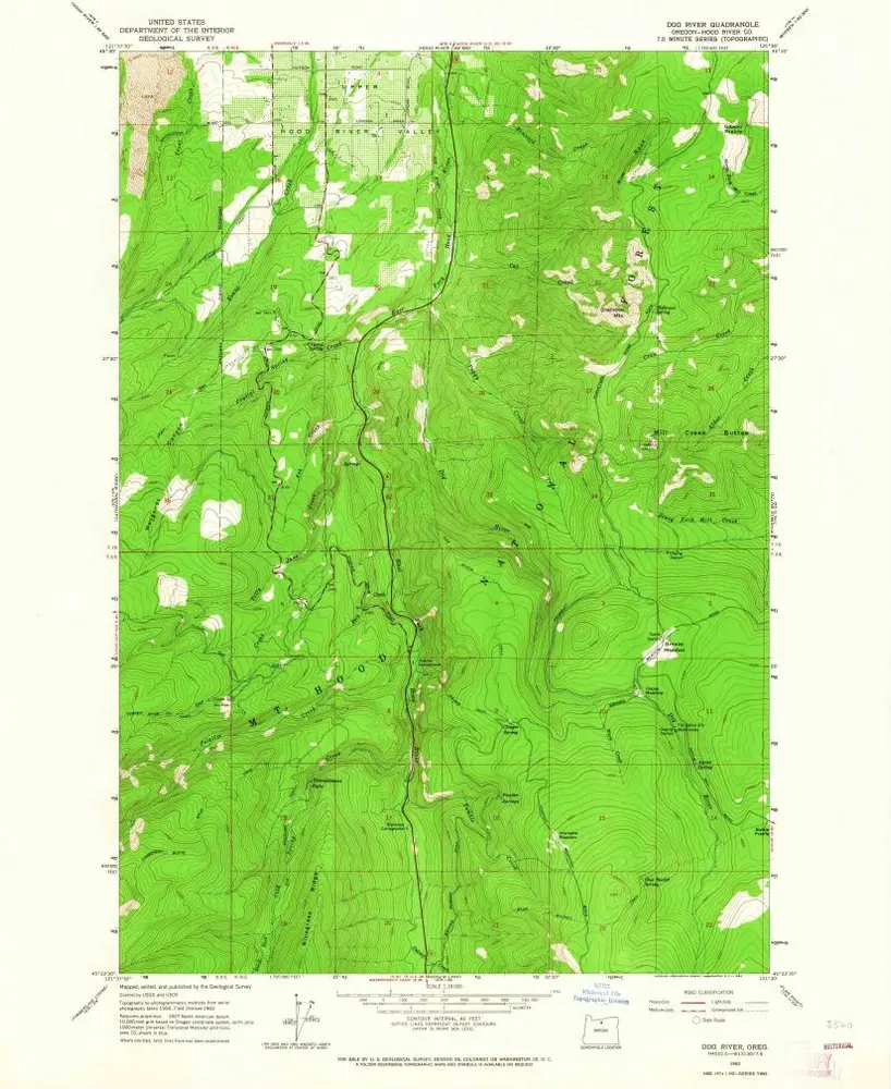
Dog River
1962
1:24k
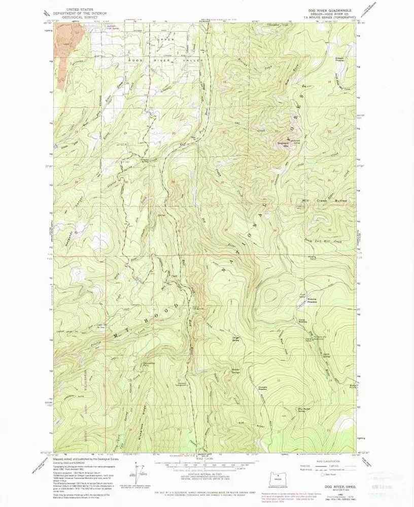
Dog River
1962
1:24k
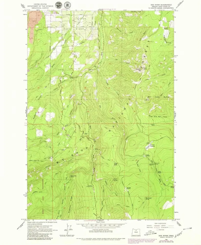
Dog River
1962
1:24k