Carte cataloguée
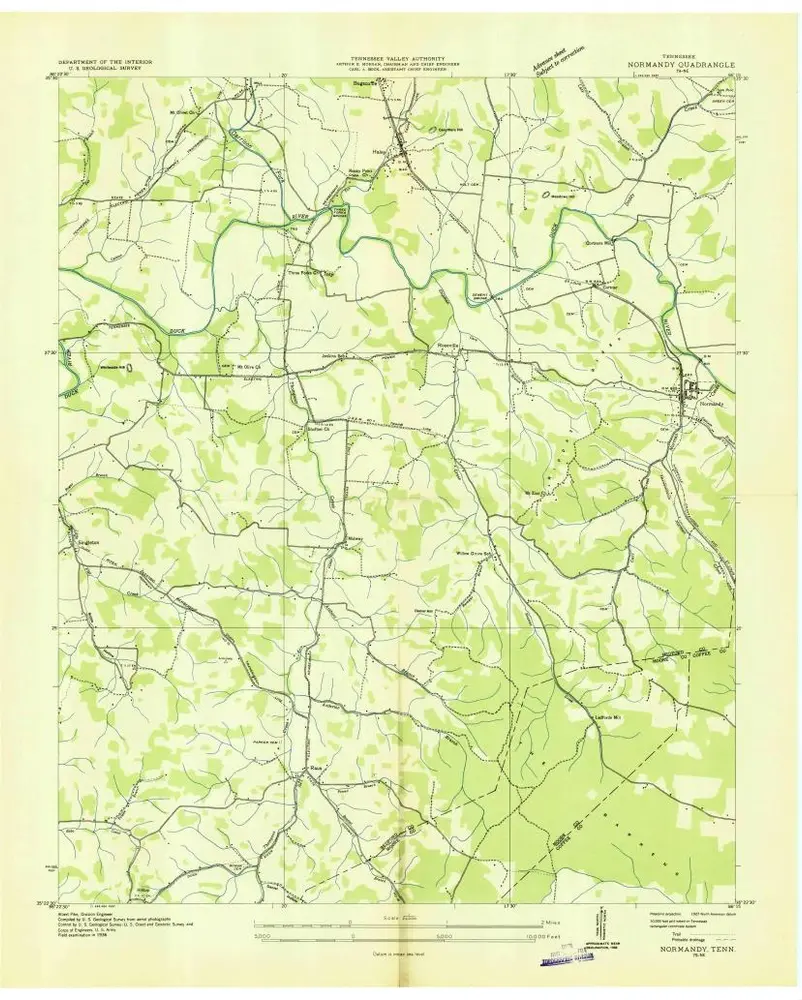
Normandy

Institution:United States Geological Survey
Titre complet:Normandy
Année de l'image:1947
Date de publication:1983
Échelle de la carte:1:24 000
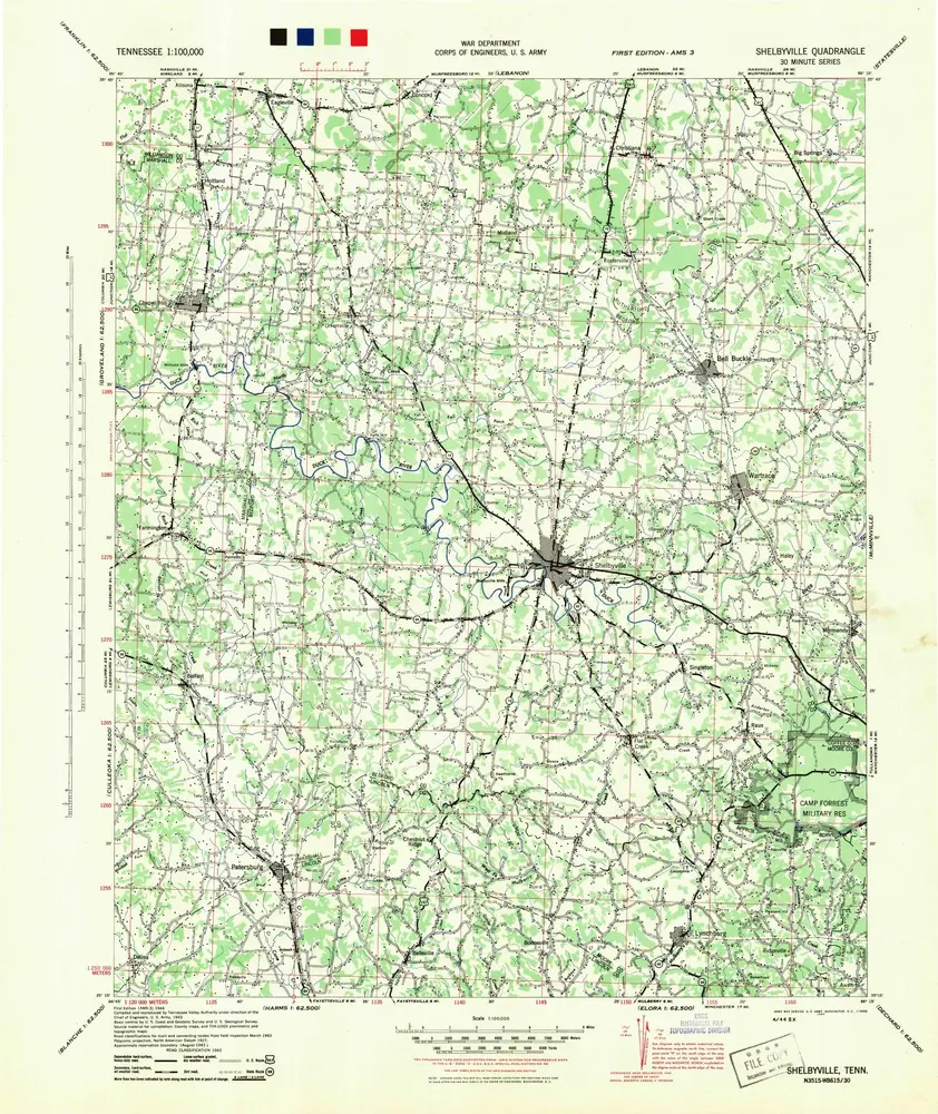
Shelbyville
1944
1:100k
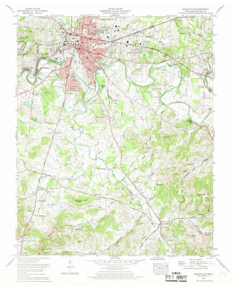
Shelbyville
1966
1:24k
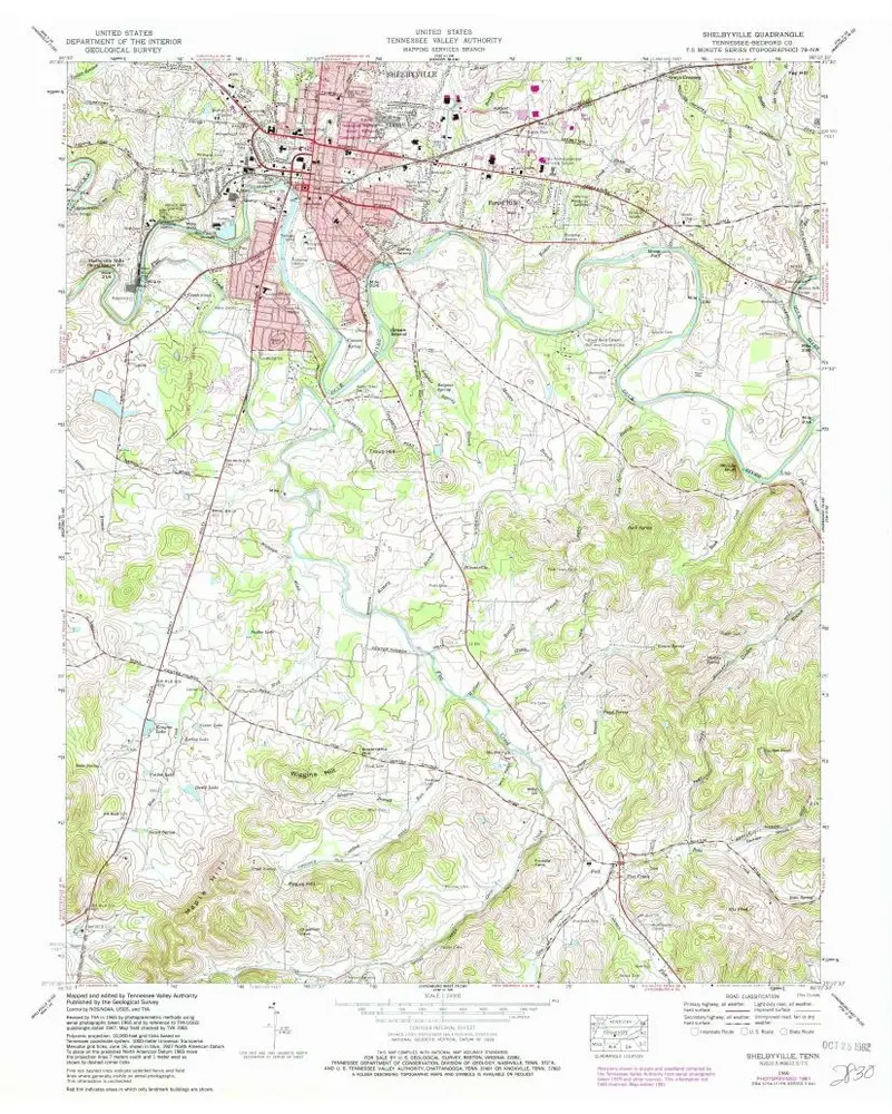
Shelbyville
1966
1:24k
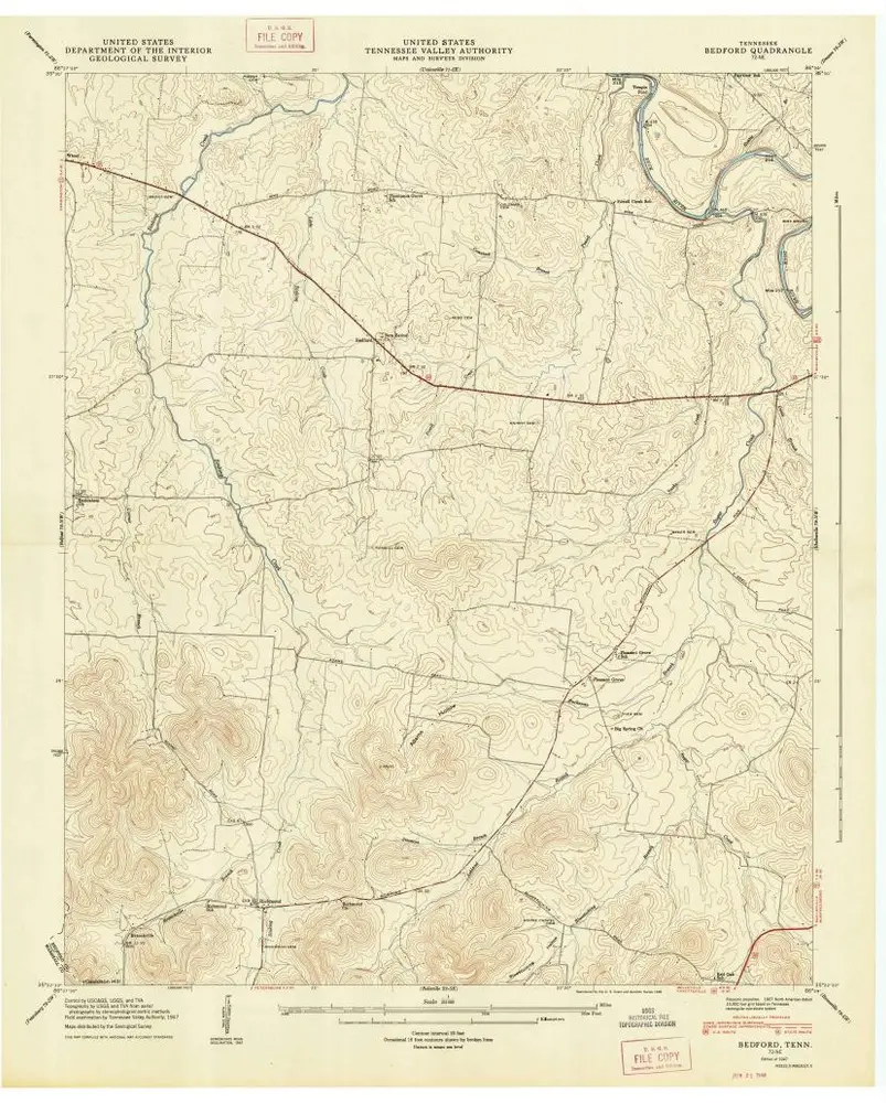
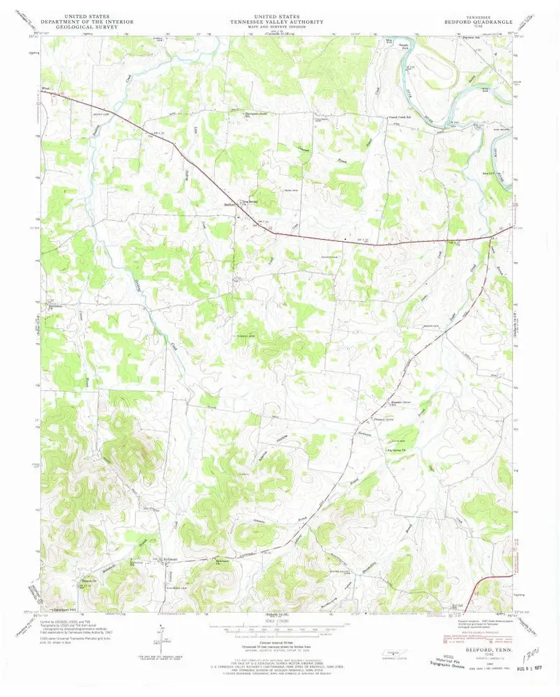
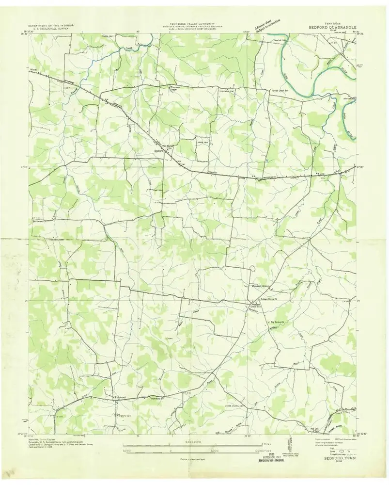
Bedford
1947
1:24k
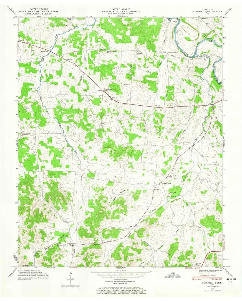
Bedford
1947
1:24k
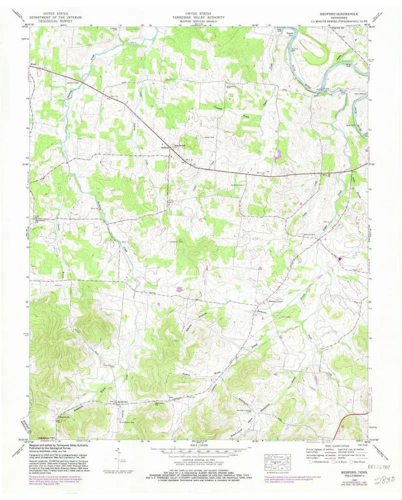
Bedford
1947
1:24k
Bedford
1947
1:24k
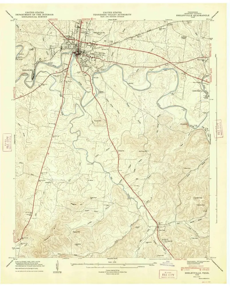
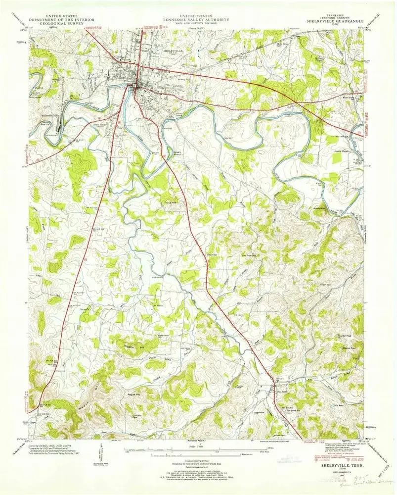
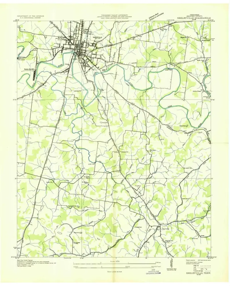
Shelbyville
1947
1:24k
Shelbyville
1947
1:24k
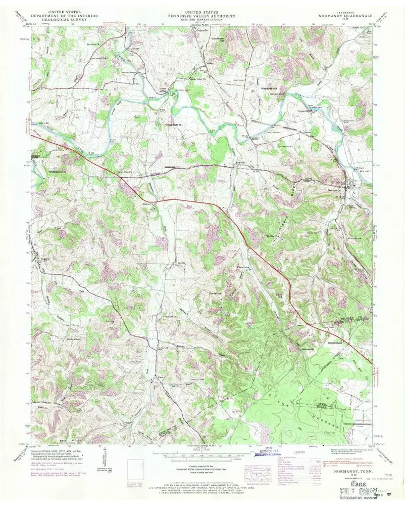
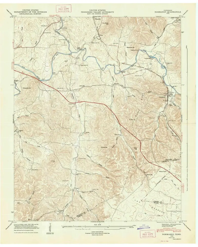
Normandy
1947
1:24k
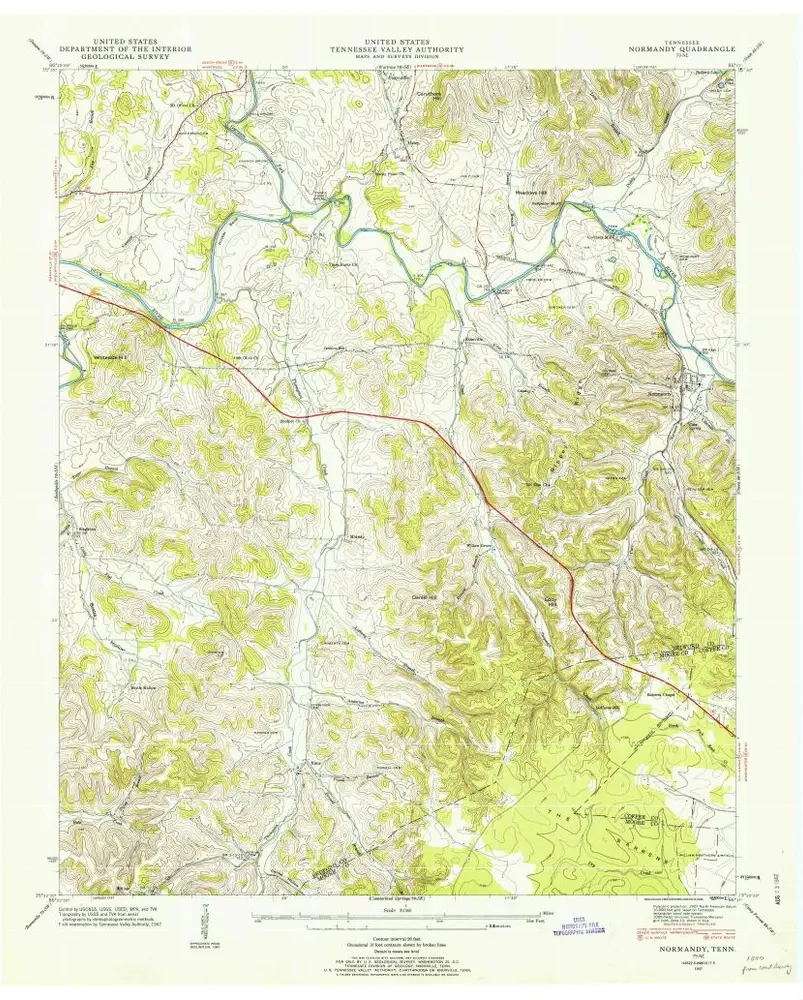
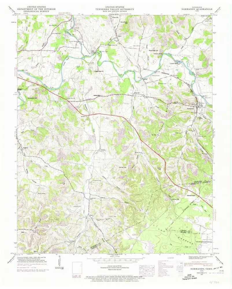
Normandy
1947
1:24k
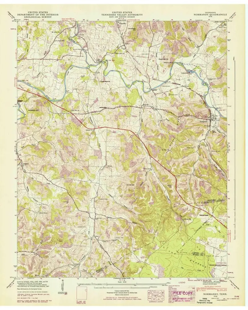
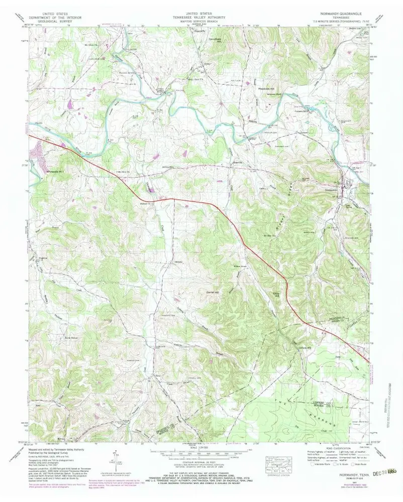
Normandy
1947
1:24k
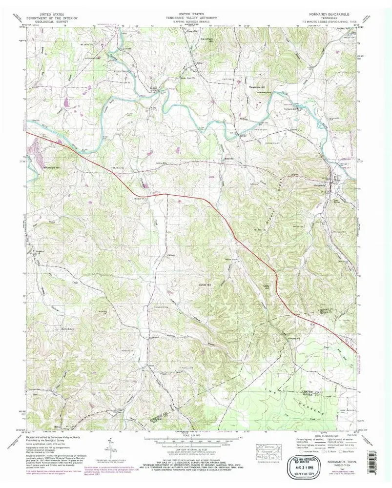
Normandy
1947
1:24k
Normandy
1947
1:24k
Normandy
1947
1:24k
Normandy
1947
1:24k
Bedford
1936
1:24k
Shelbyville
1936
1:24k
Normandy
1936
1:24k