Projekt
Wspólnota
Aktualności
Moja aplikacja
Moje mapy
Katalogisierte Karte
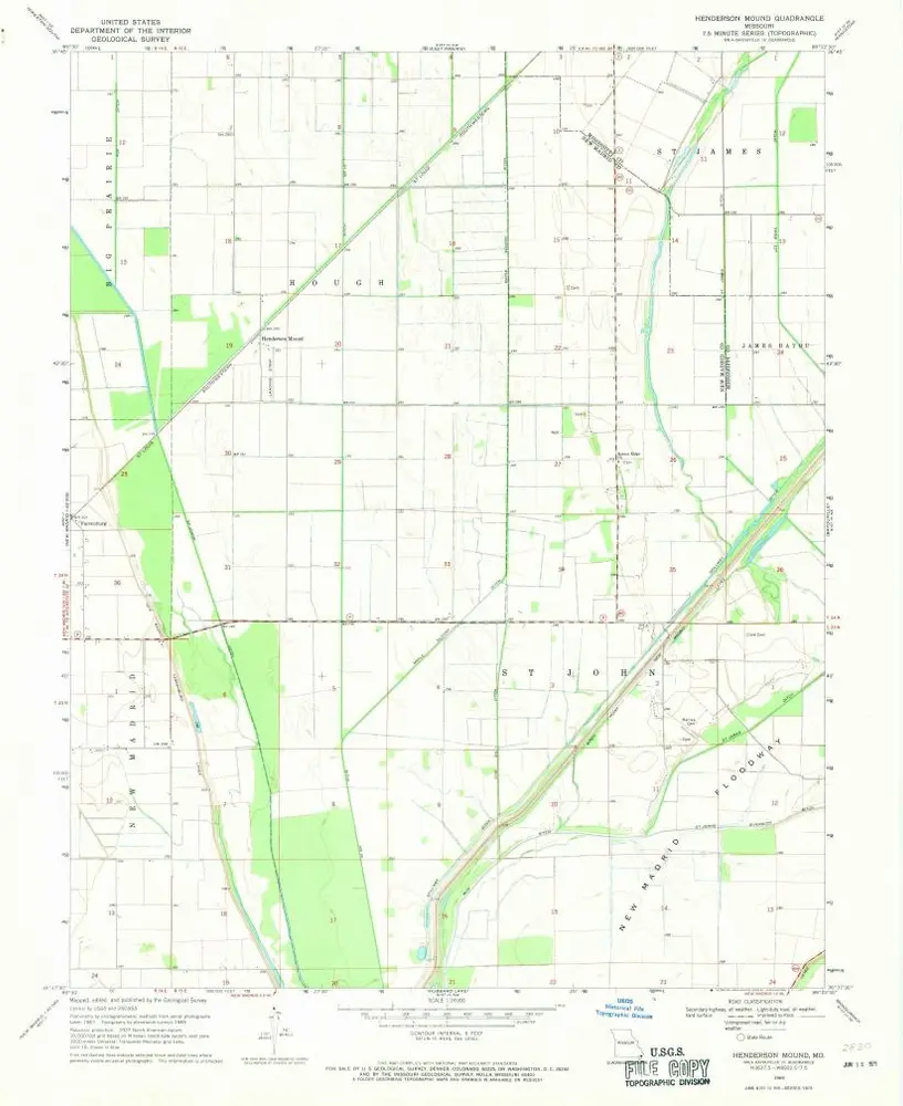
Henderson Mound
Wyświetlanie na zewnętrznej stronie internetowej
Zobacz zdigitalizowane
Einrichtung:
United States Geological Survey
Vollständiger Titel:
Henderson Mound
Jahr der Abbildung:
1969
Veröffentlichungsdatum:
1971
Maßstab der Karte:
1:24 000
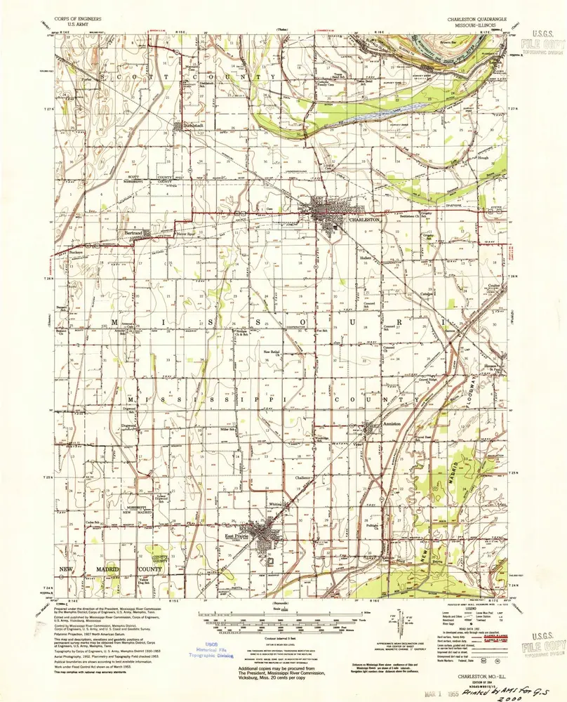
Charleston
1954
1:63k
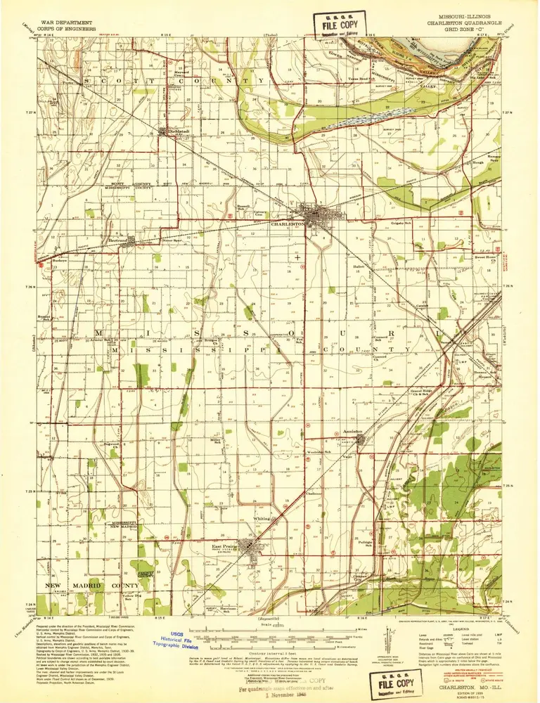
Charleston
1939
1:63k
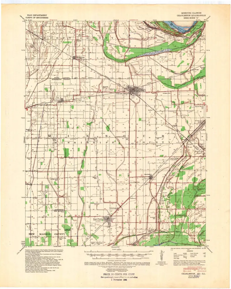
Charleston
1939
1:63k
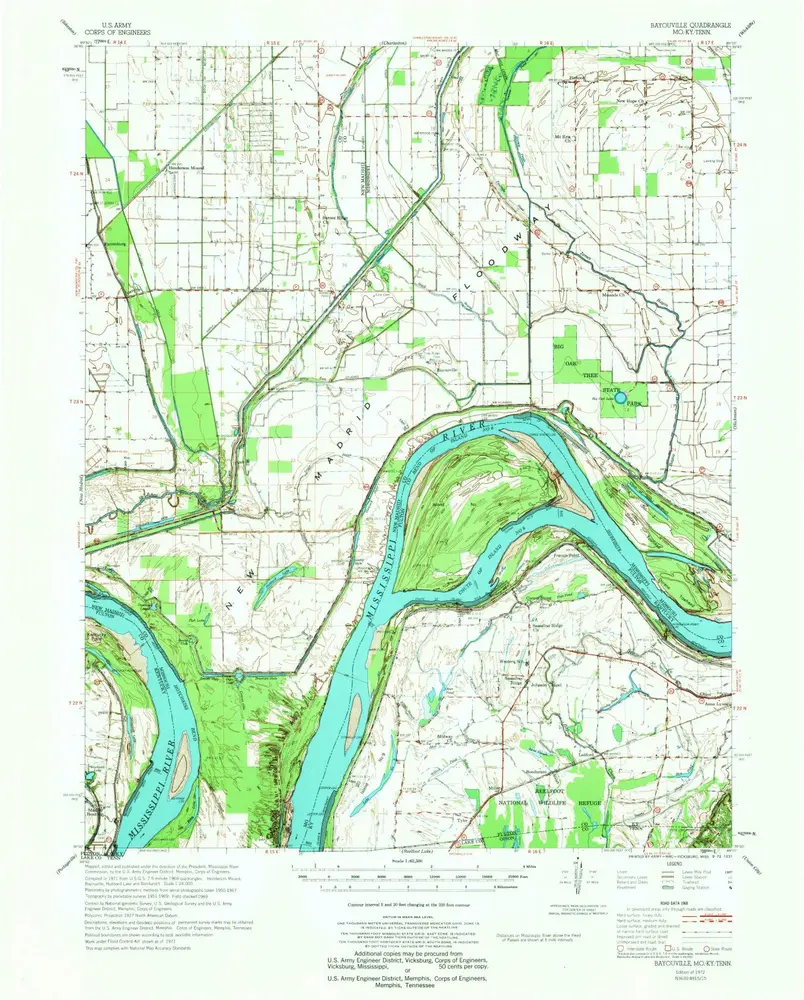
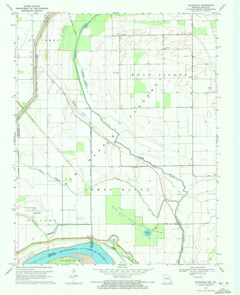
Bayouville
1972
1:63k
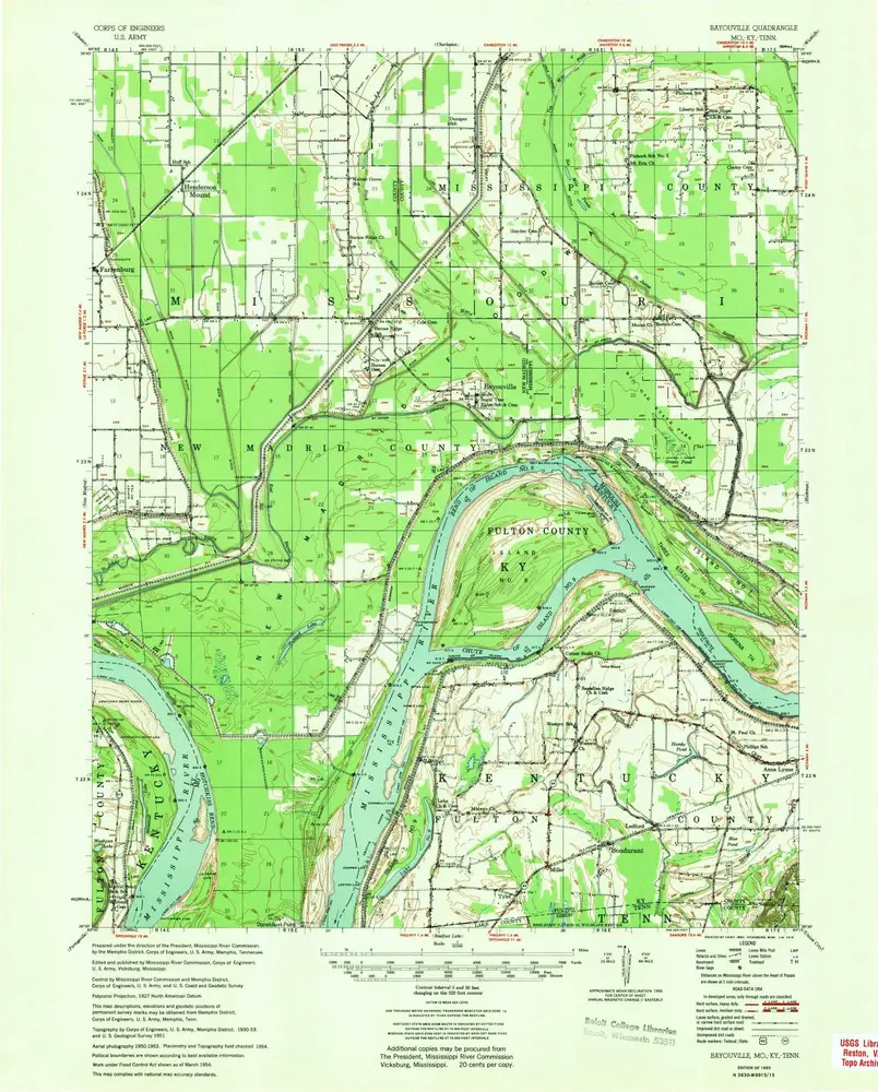
Bayouville
1955
1:63k
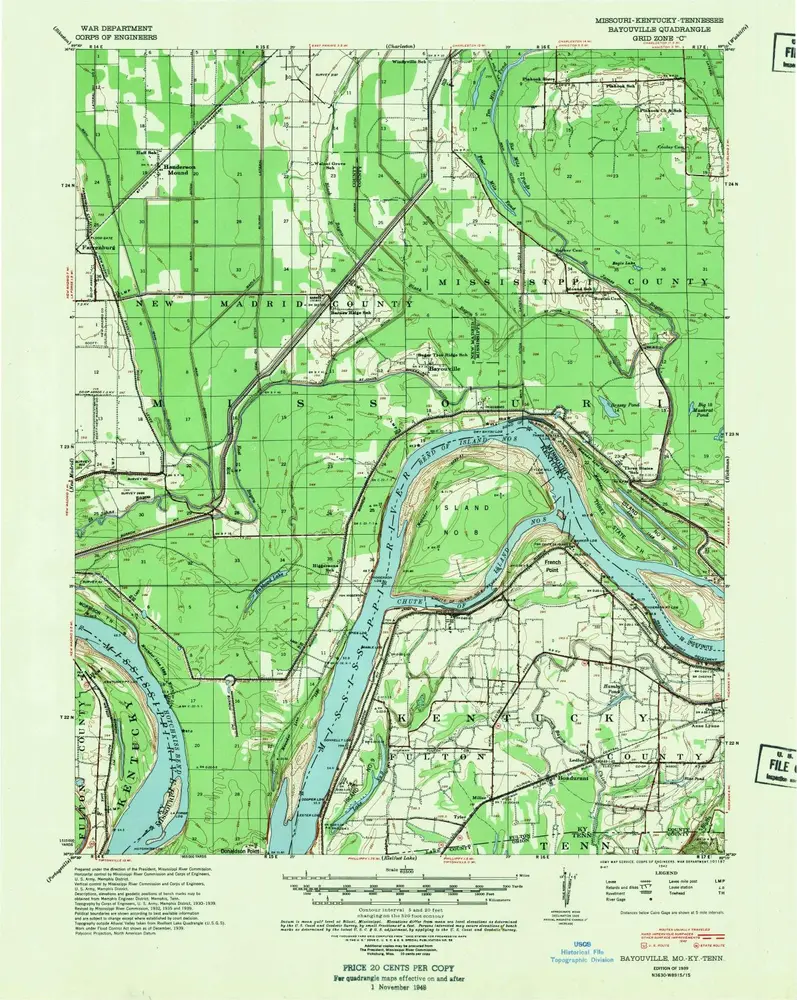
Bayouville
1939
1:63k
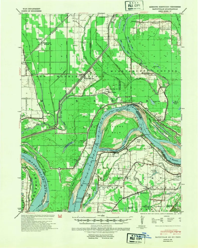
Bayouville
1939
1:63k
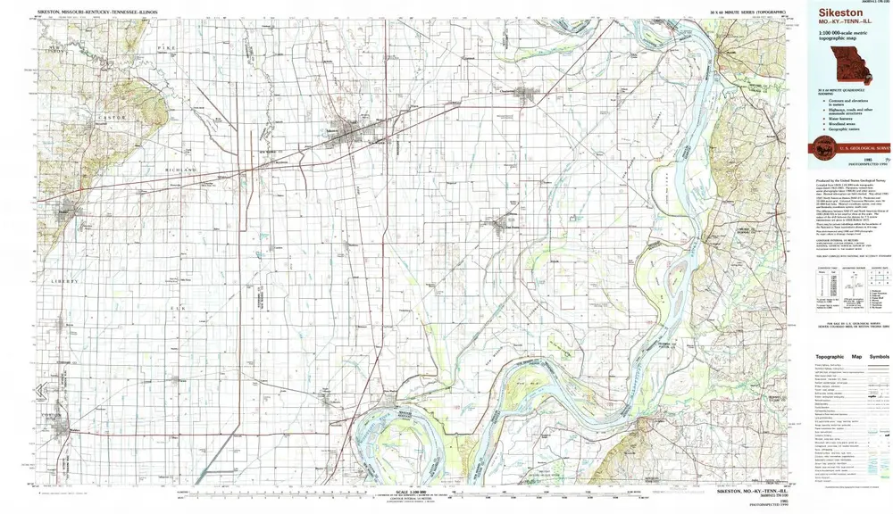
Sikeston
1985
1:100k
Henderson Mound
1969
1:24k
Bayouville
1969
1:24k
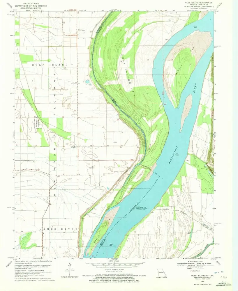
Wolf Island
1969
1:24k
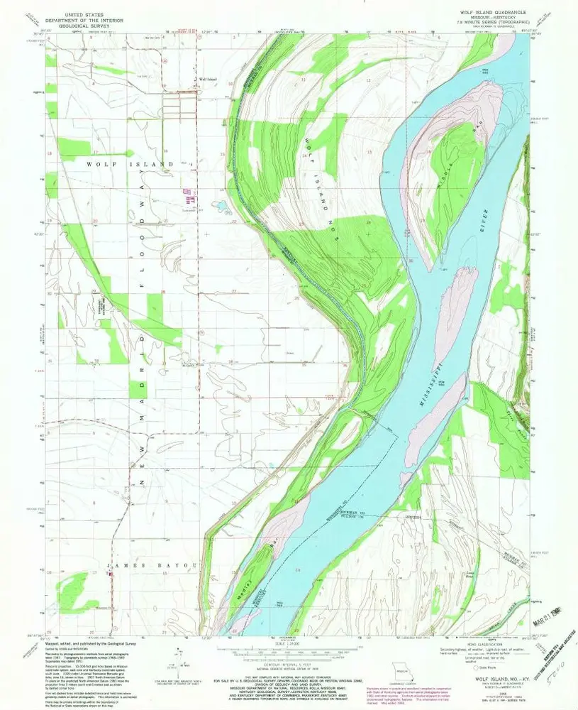
Wolf Island
1969
1:24k
Geschichte