Projekt
Wspólnota
Aktualności
Moja aplikacja
Moje mapy
Katalogisierte Karte
Olivet
Wyświetlanie na zewnętrznej stronie internetowej
Zobacz zdigitalizowane
Einrichtung:
United States Geological Survey
Vollständiger Titel:
Olivet
Jahr der Abbildung:
1898
Veröffentlichungsdatum:
1939
Maßstab der Karte:
1:125 000
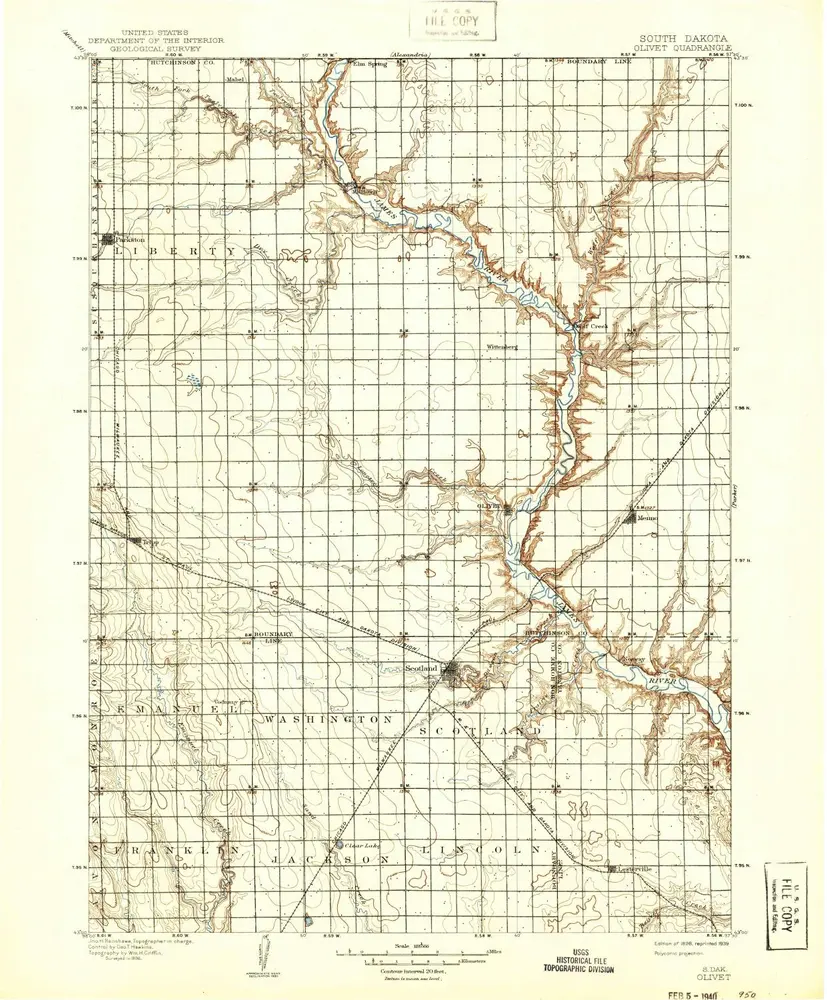
Olivet
1898
1:125k
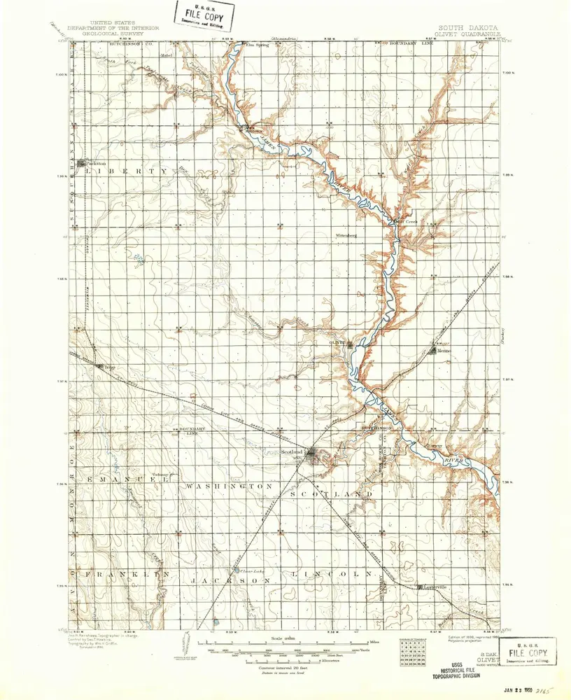
Olivet
1898
1:125k
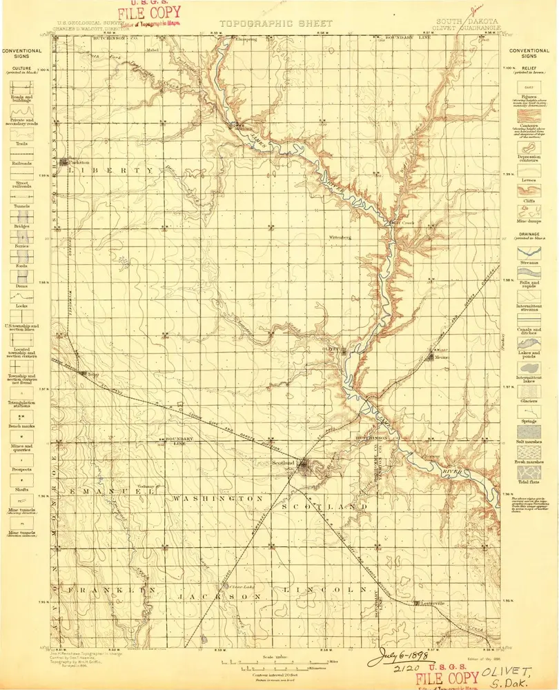
Olivet
1898
1:125k
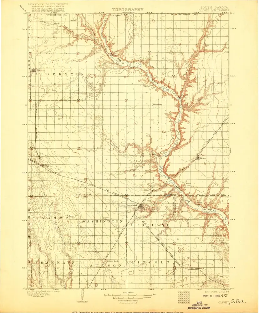
Olivet
1898
1:125k
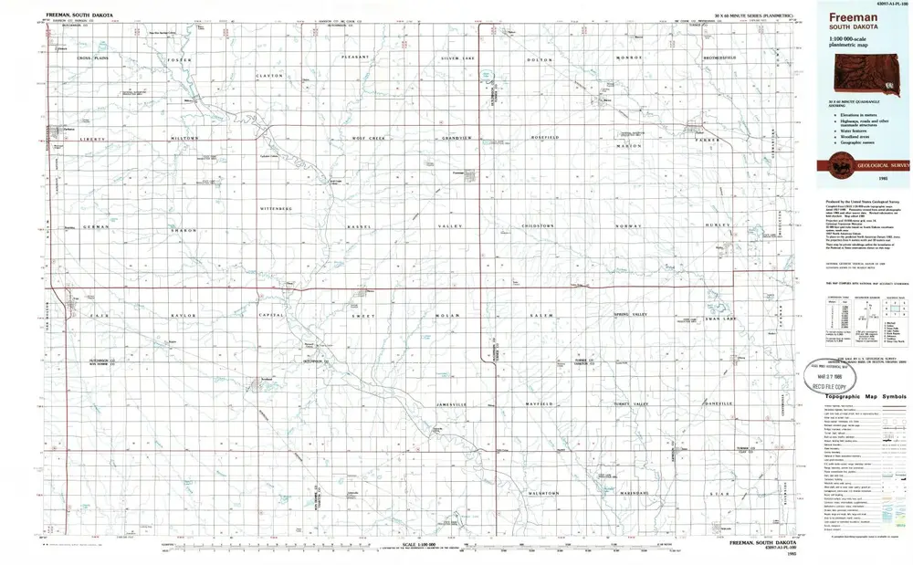
Freeman
1985
1:100k
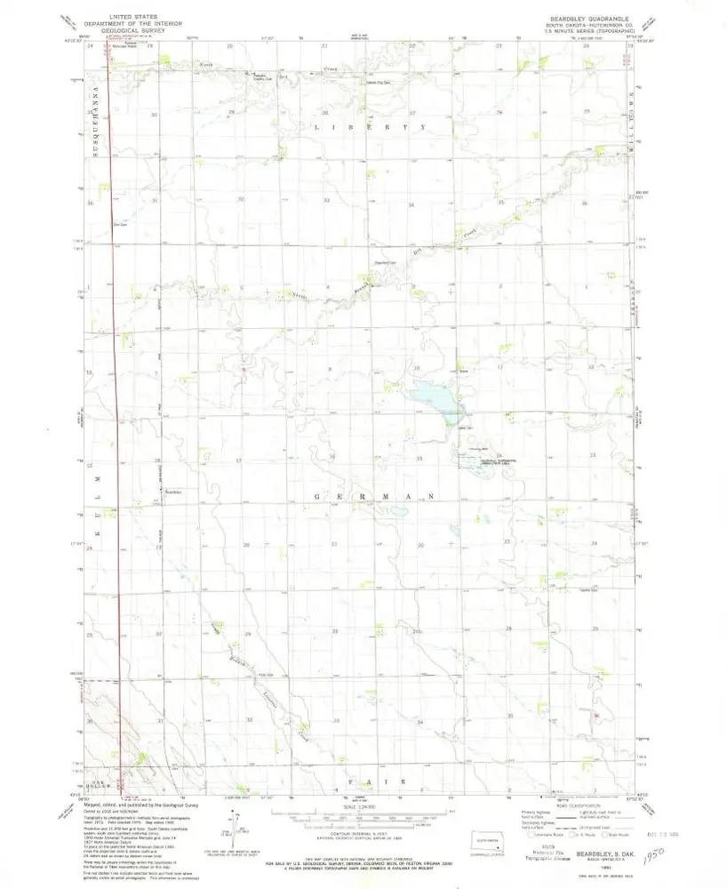
Beardsley
1980
1:24k
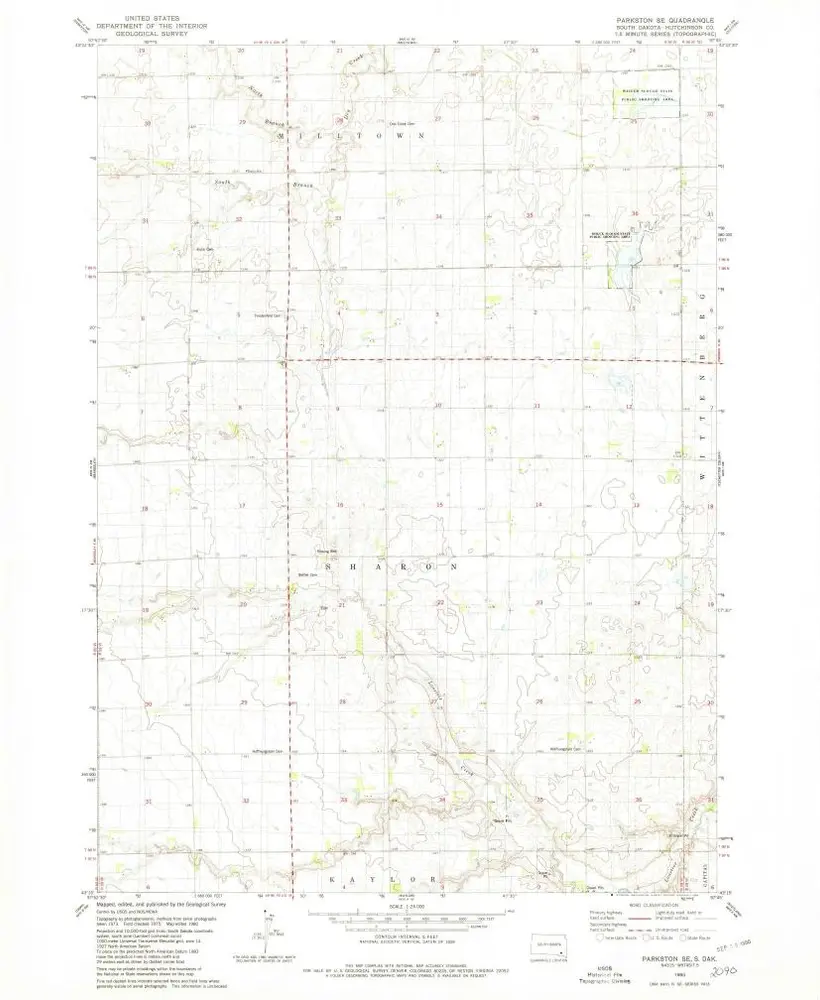
Parkston SE
1980
1:24k
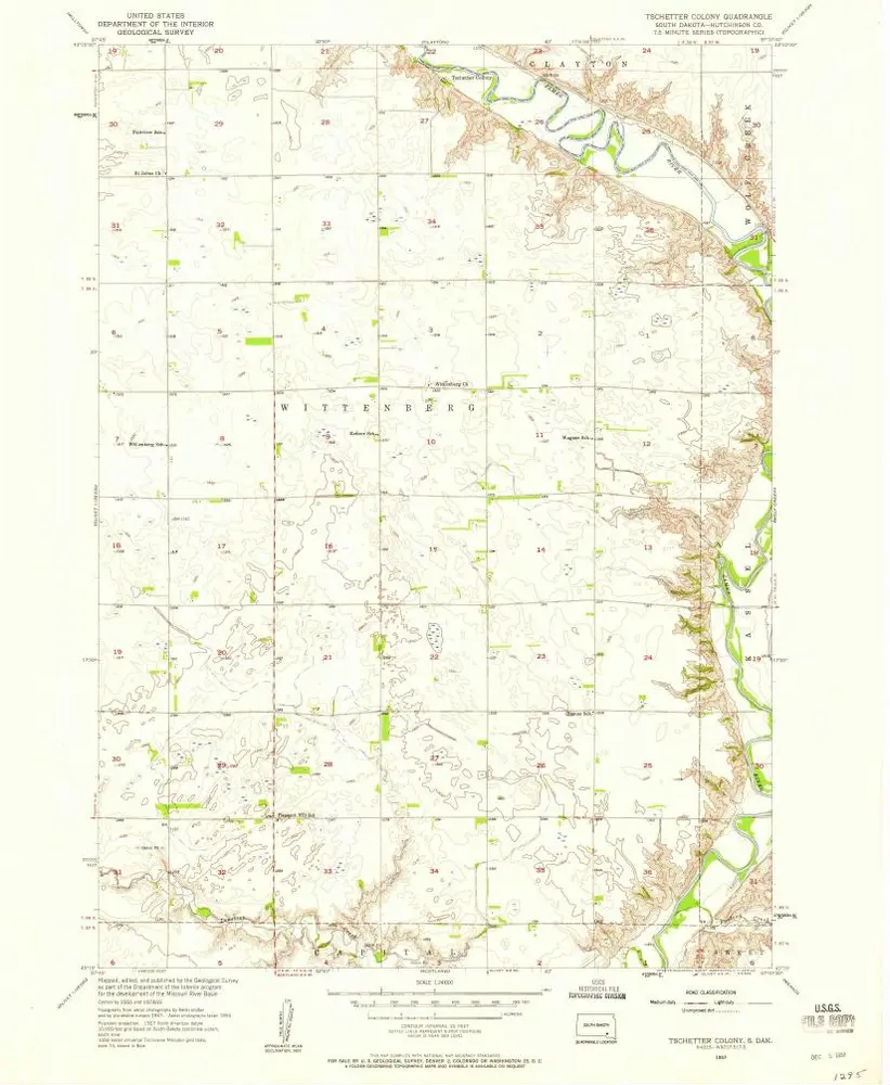
Tschetter Colony
1957
1:24k
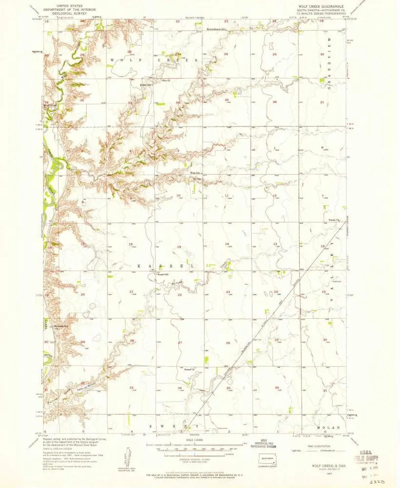
Wolf Creek
1957
1:24k
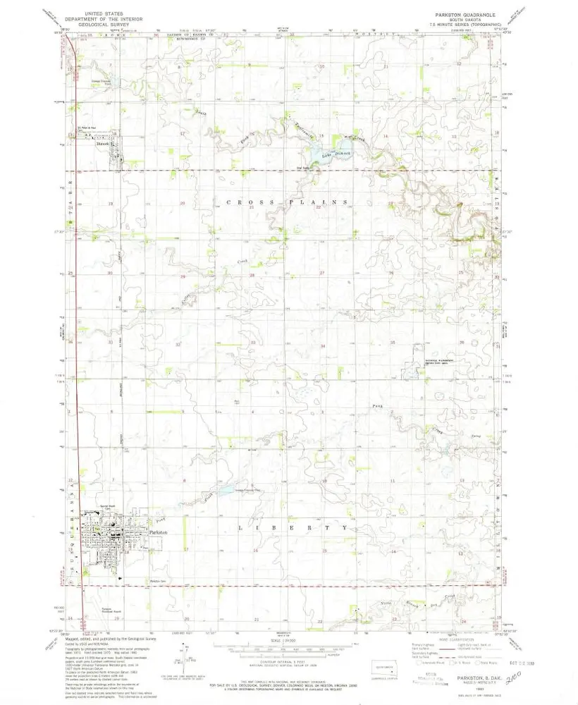
Parkston
1980
1:24k
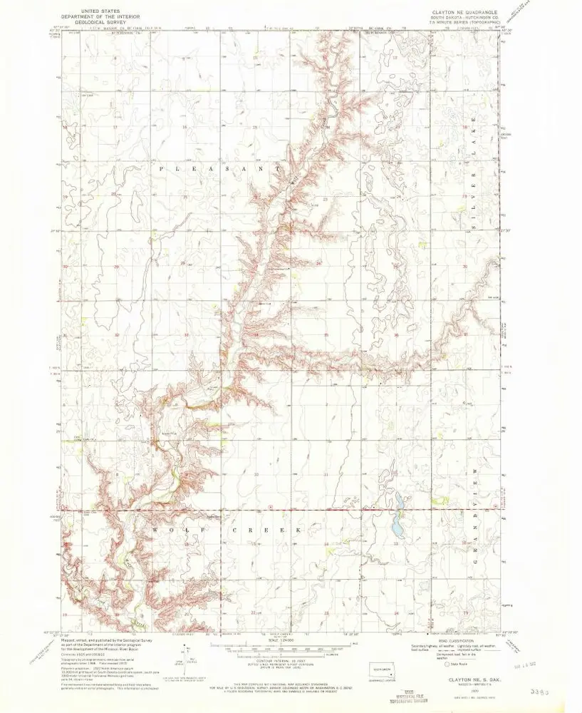
Clayton NE
1970
1:24k
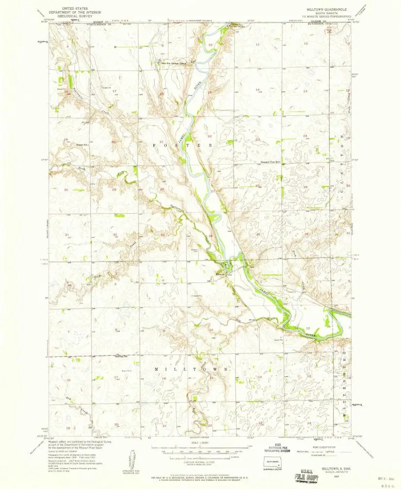
Milltown
1957
1:24k
Clayton
1957
1:24k
Clayton
1957
1:24k
Geschichte