Projekt
Wspólnota
Aktualności
Moja aplikacja
Moje mapy
Carte cataloguée
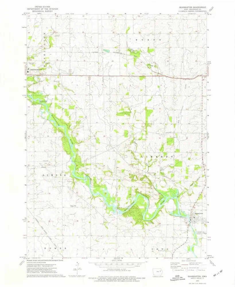
Quasqueton
Wyświetlanie na zewnętrznej stronie internetowej
Institution:
United States Geological Survey
Titre complet:
Quasqueton
Année de l'image:
1973
Date de publication:
1977
Échelle de la carte:
1:24 000
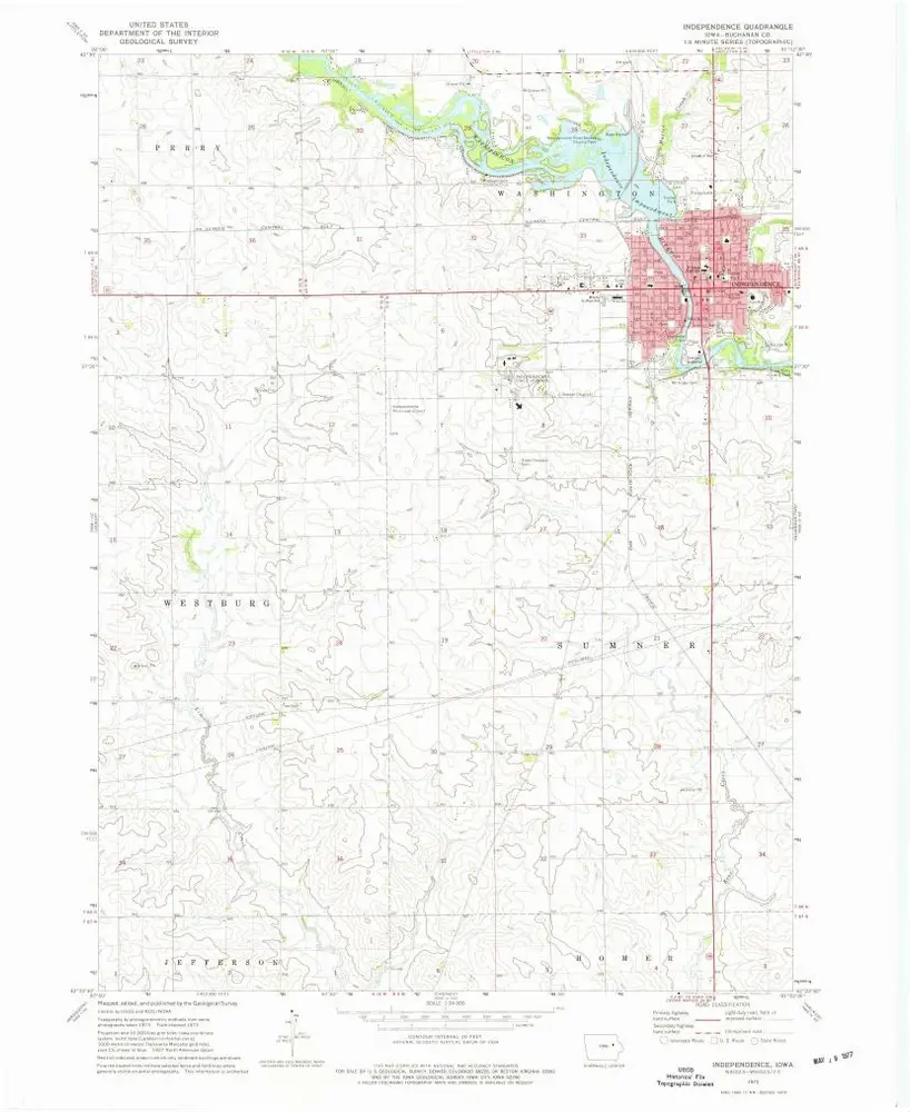
Independence
1973
1:24k
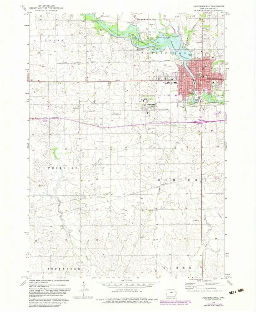
Independence
1973
1:24k
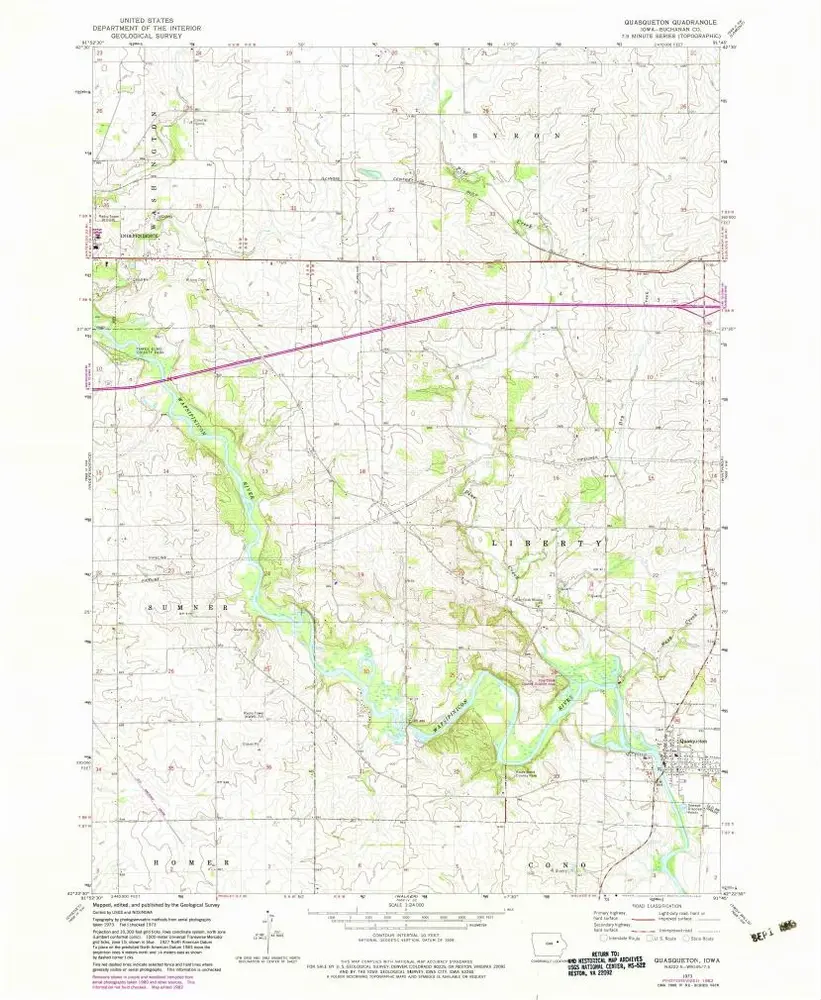
Quasqueton
1973
1:24k
Quasqueton
1973
1:24k
Winthrop
1973
1:24k
Winthrop
1973
1:24k
Hazleton
1981
1:24k
Oelwein SE
1981
1:24k
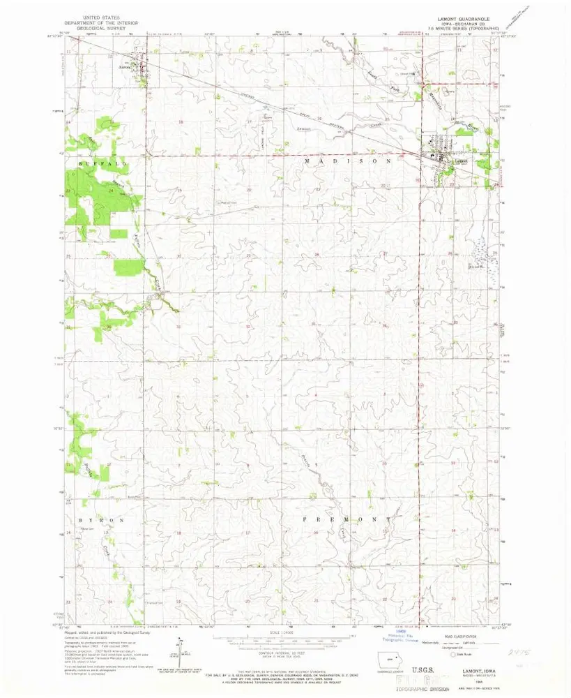
Lamont
1965
1:24k
Lamont
1965
1:24k
L'histoire