Projekt
Wspólnota
Aktualności
Moja aplikacja
Moje mapy
Katalogisierte Karte
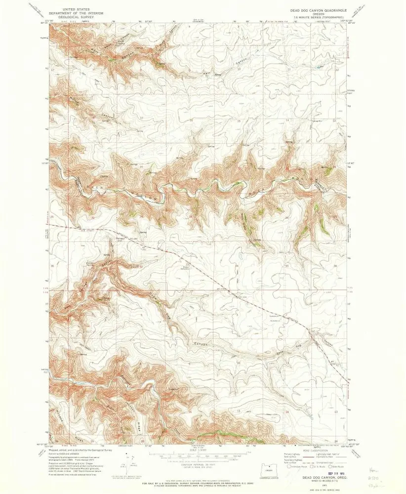
Dead Dog Canyon
Wyświetlanie na zewnętrznej stronie internetowej
Zobacz zdigitalizowane
Einrichtung:
United States Geological Survey
Vollständiger Titel:
Dead Dog Canyon
Jahr der Abbildung:
1971
Veröffentlichungsdatum:
1973
Maßstab der Karte:
1:24 000
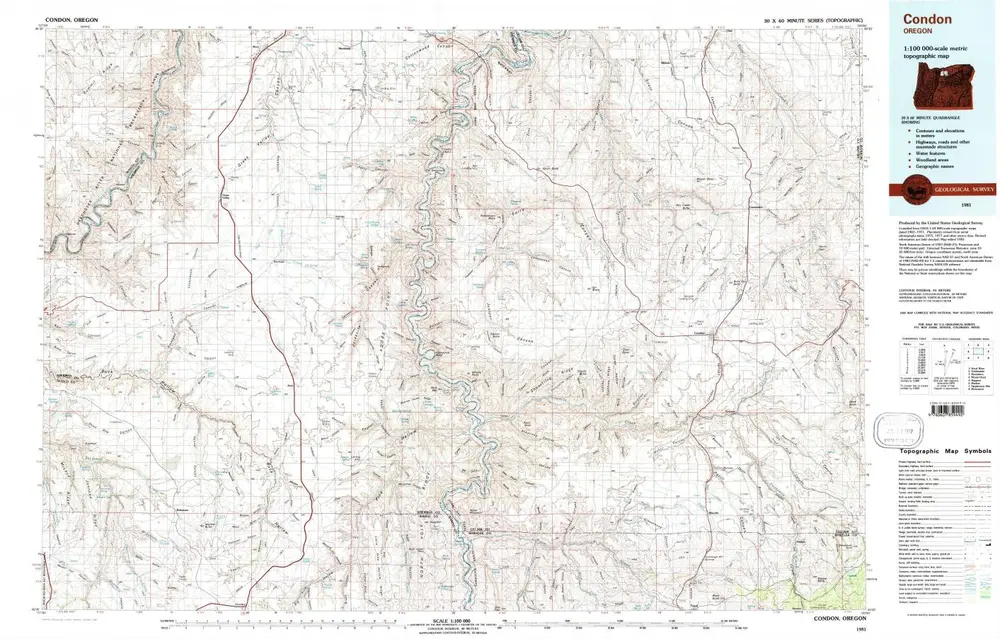
Condon
1981
1:100k
Condon
1981
1:100k
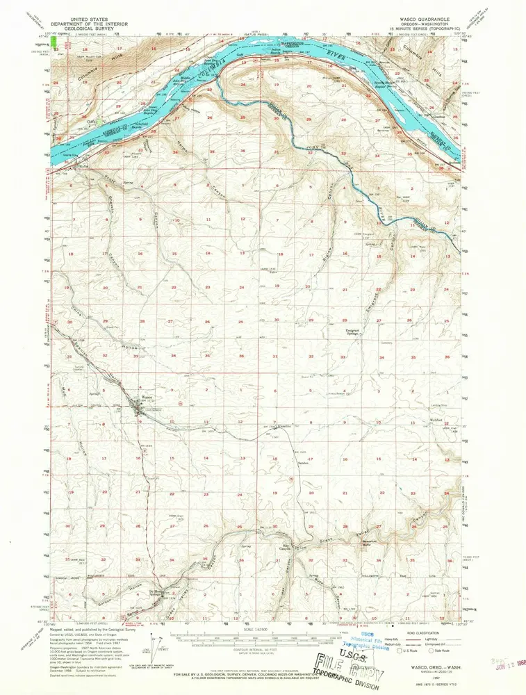
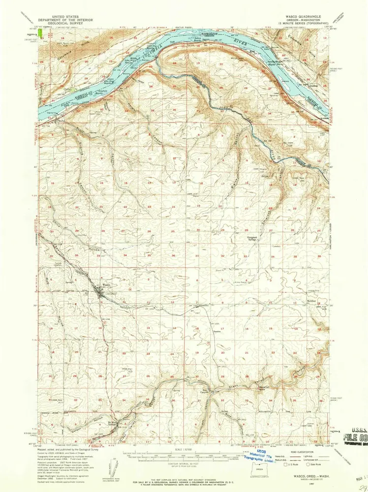
Wasco
1957
1:63k
Wasco
1957
1:63k
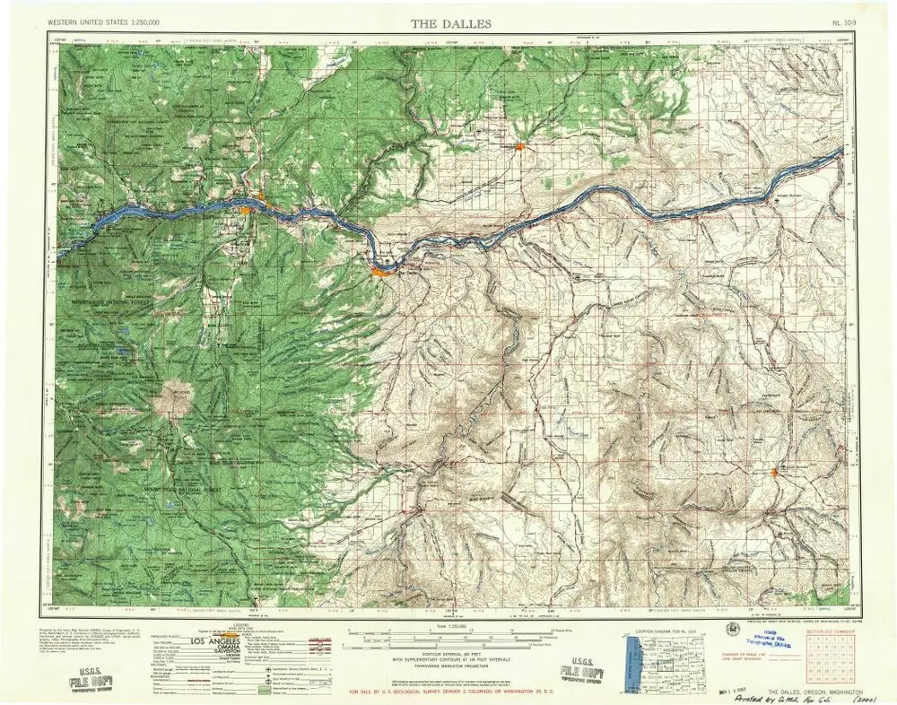
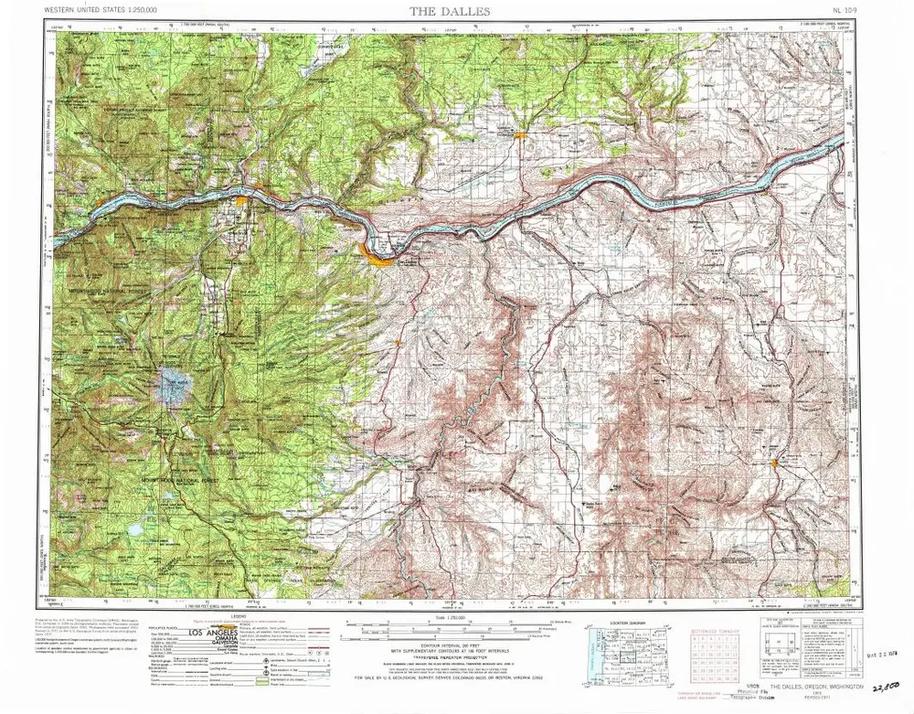
The Dalles
1957
1:250k
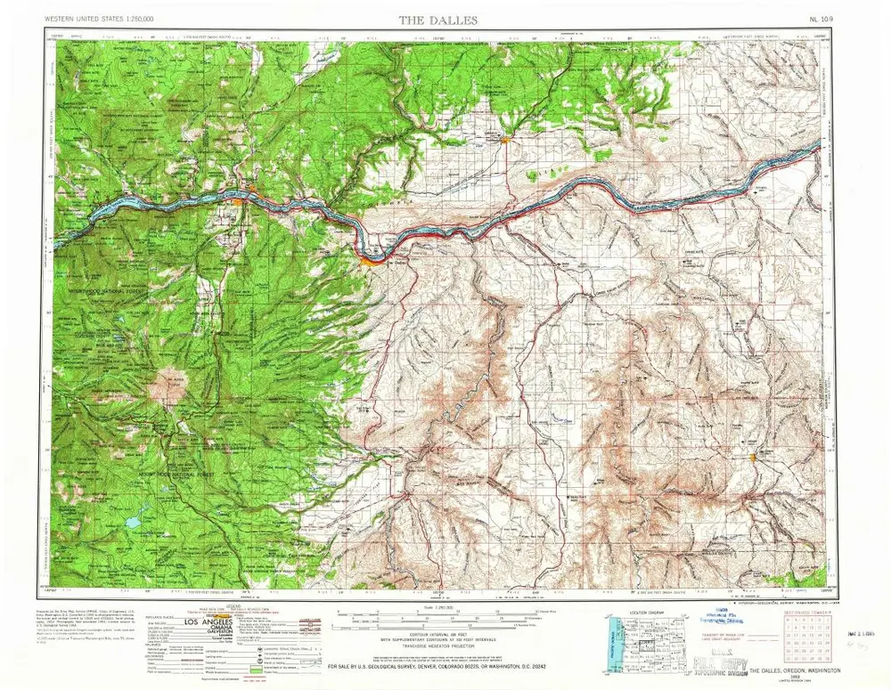
The Dalles
1953
1:250k
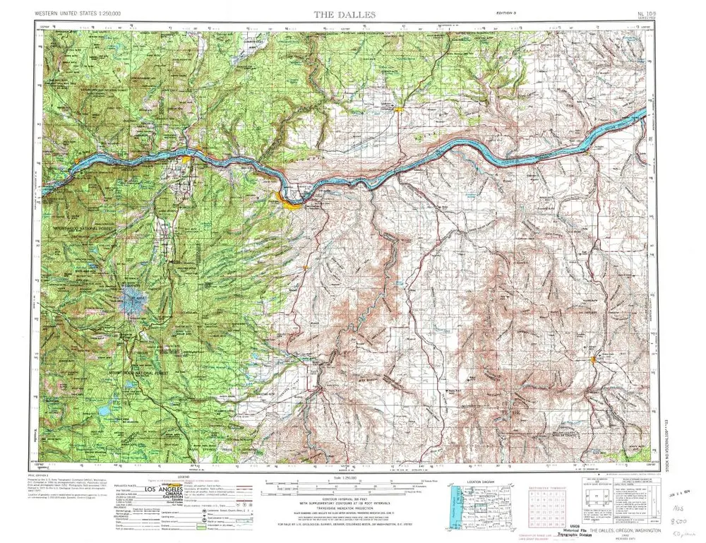
The Dalles
1953
1:250k
The Dalles
1953
1:250k
Dead Dog Canyon
1971
1:24k
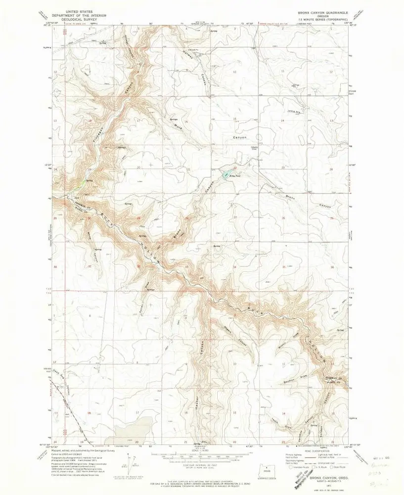
Bronx Canyon
1971
1:24k
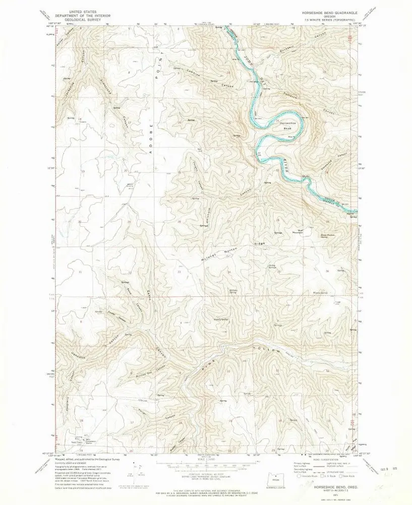
Horseshoe Bend
1971
1:24k
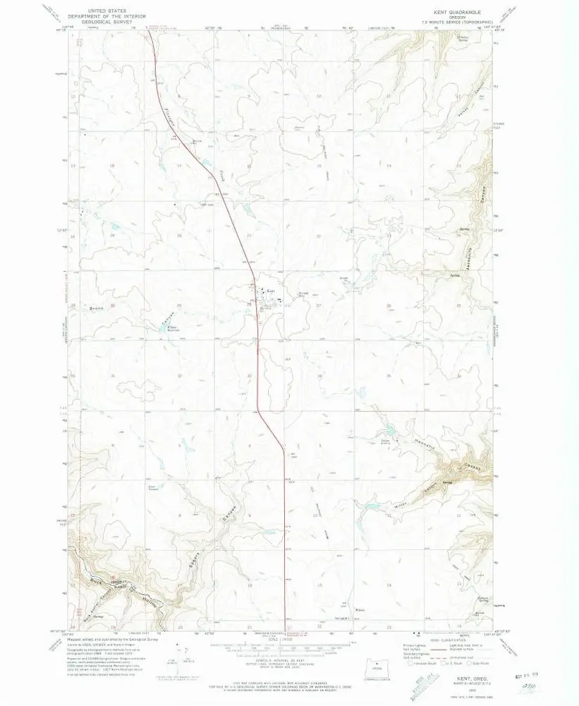
Kent
1970
1:24k
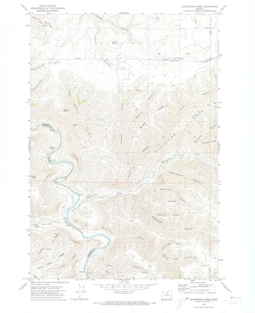
Shoestring Ridge
1970
1:24k
Geschichte