Projekt
Wspólnota
Aktualności
Moja aplikacja
Moje mapy
Katalogisierte Karte
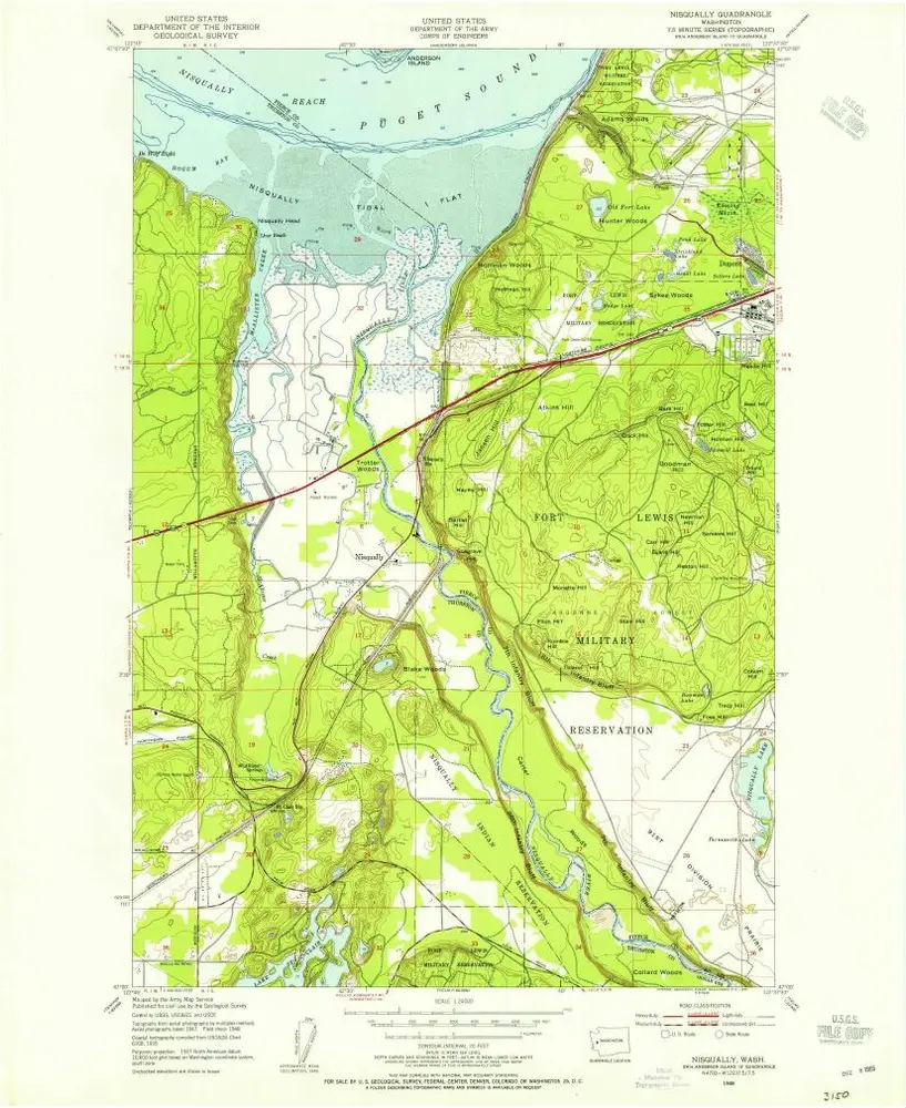
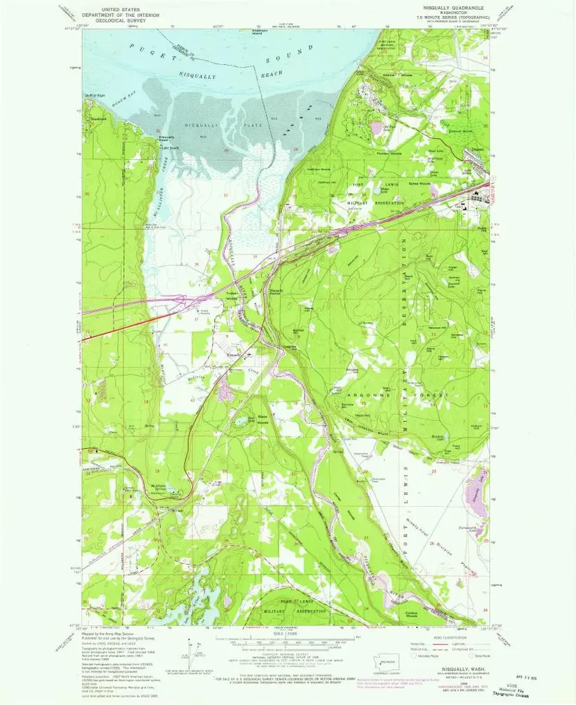
Nisqually
Wyświetlanie na zewnętrznej stronie internetowej
Zobacz zdigitalizowane
Einrichtung:
United States Geological Survey
Vollständiger Titel:
Nisqually
Jahr der Abbildung:
1948
Veröffentlichungsdatum:
1955
Maßstab der Karte:
1:24 000
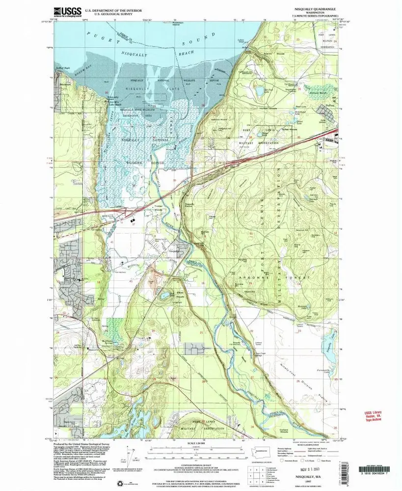
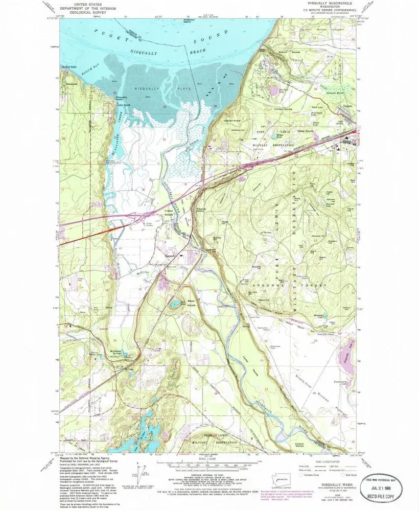
Nisqually
1997
1:24k
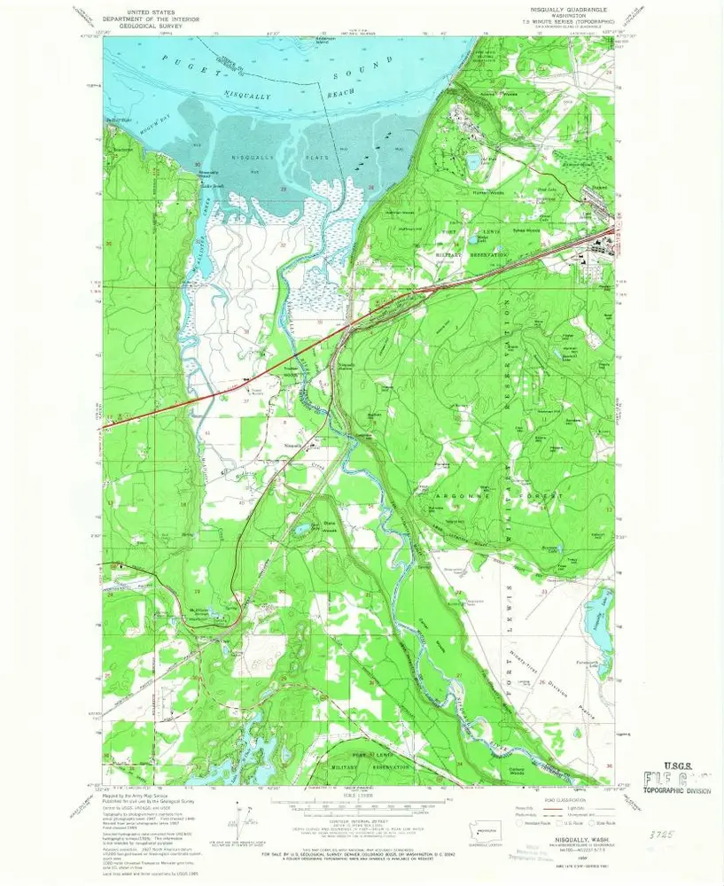
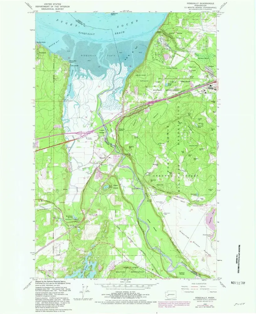
Nisqually
1959
1:24k
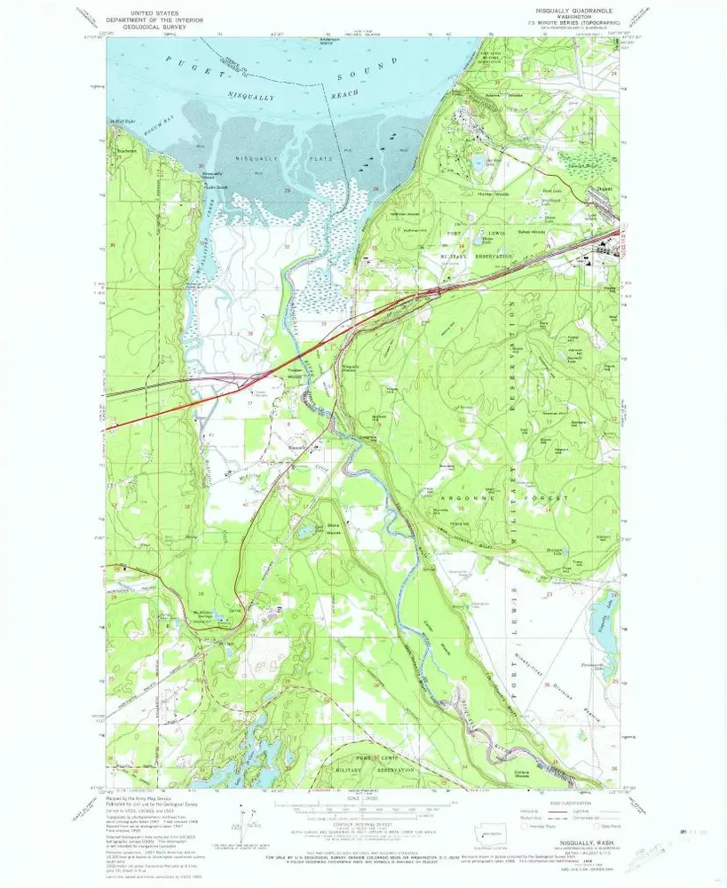
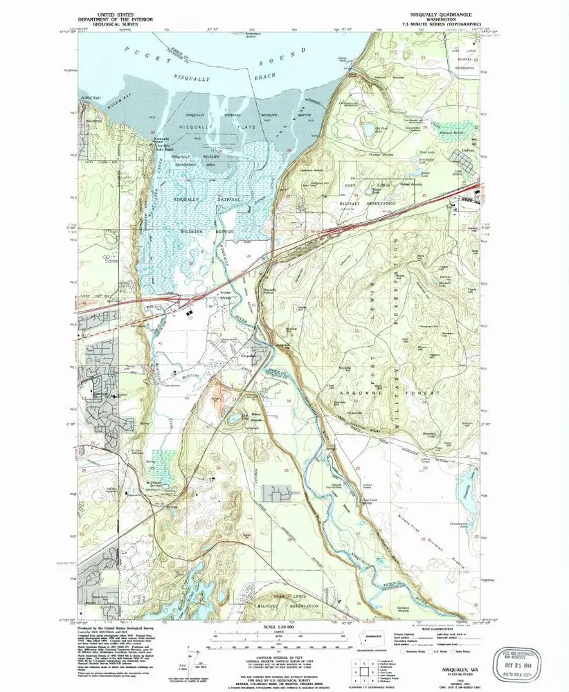
Nisqually
1959
1:24k
Nisqually
1959
1:24k
Nisqually
1959
1:24k
Nisqually
1959
1:24k
Nisqually
1959
1:24k
Nisqually
1948
1:24k
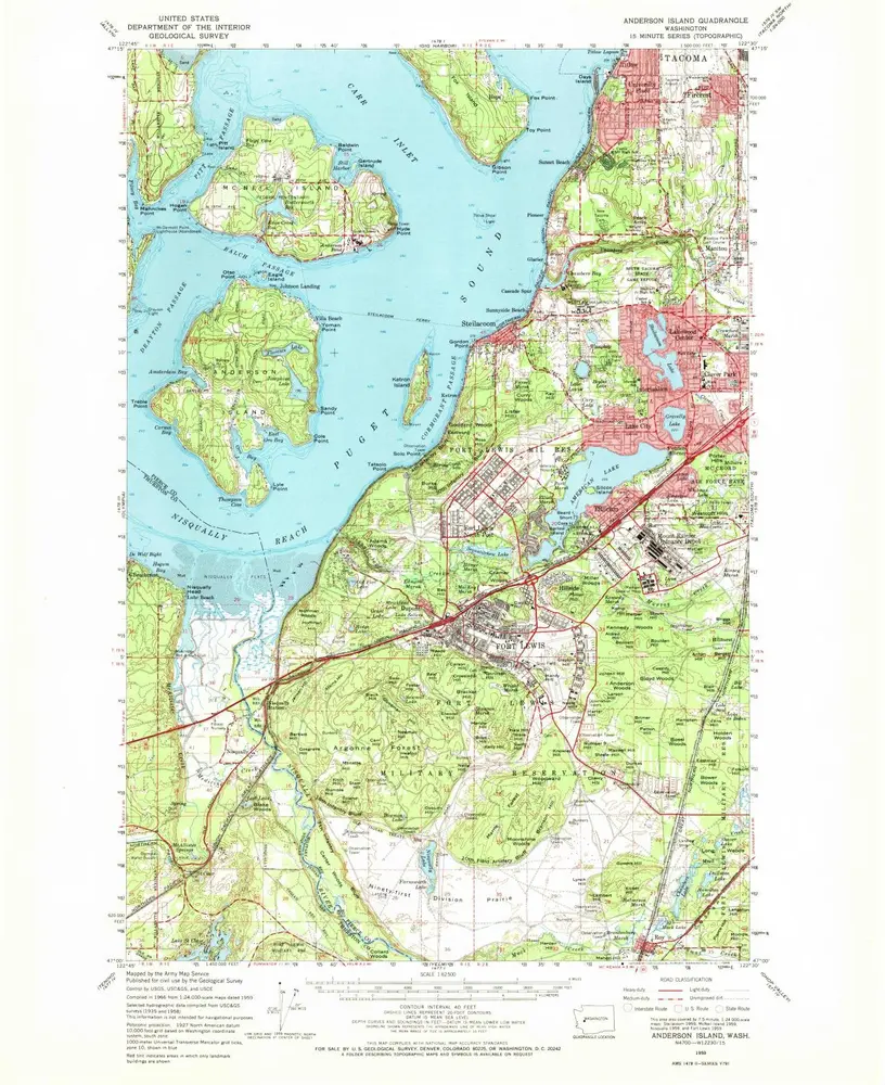
Anderson Island
1959
1:63k
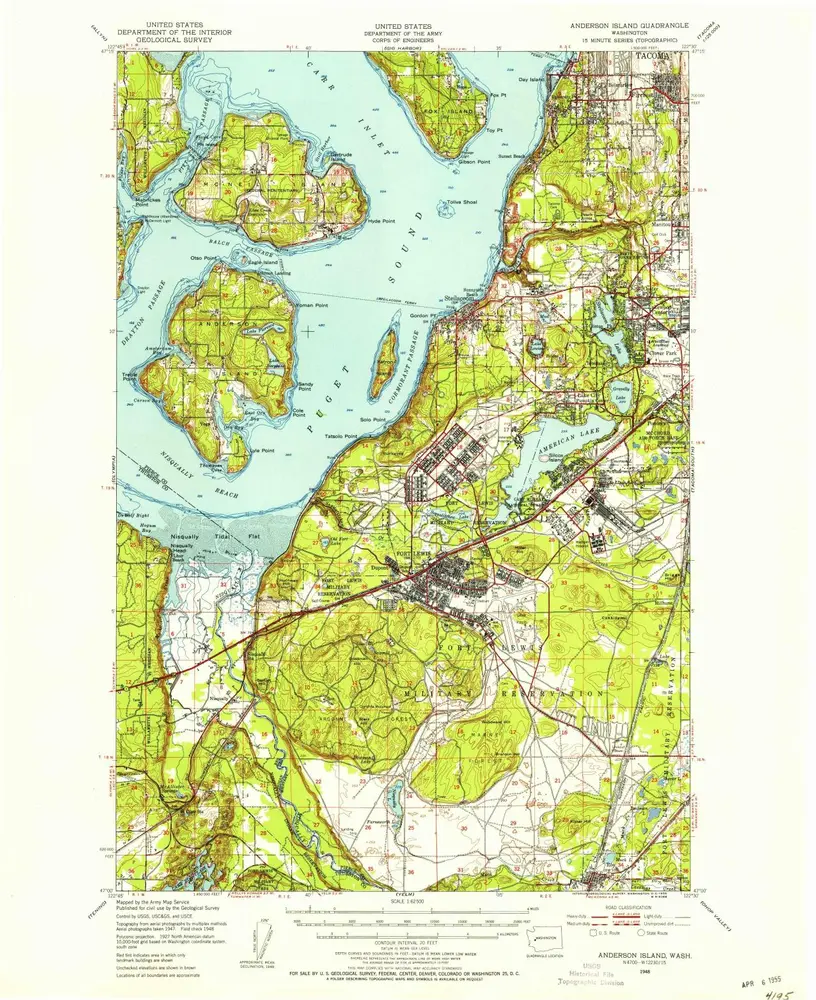
Anderson Island
1948
1:63k
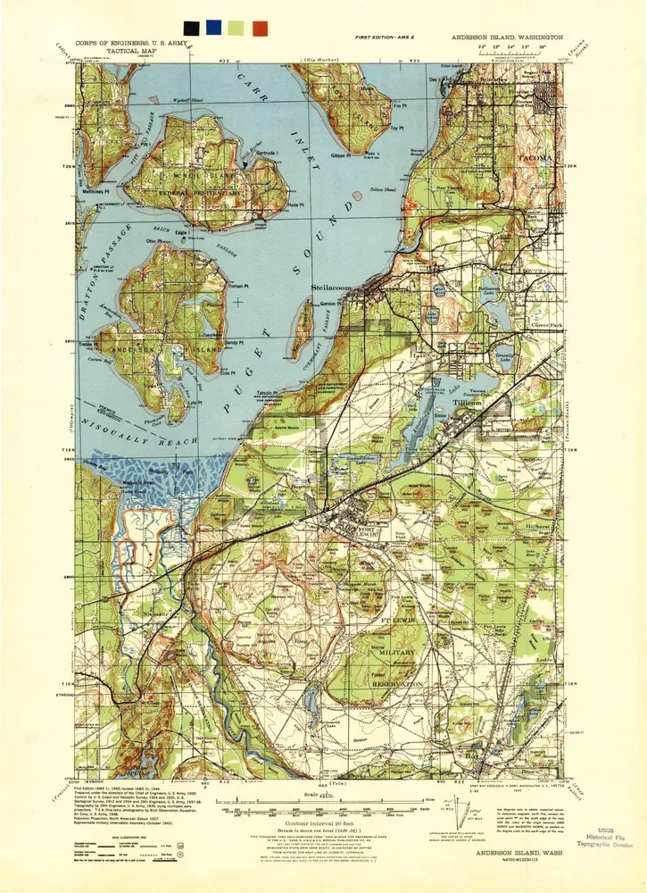
Anderson Island
1940
1:63k
Geschichte