Projekt
Wspólnota
Aktualności
Moja aplikacja
Moje mapy
Katalogisierte Karte
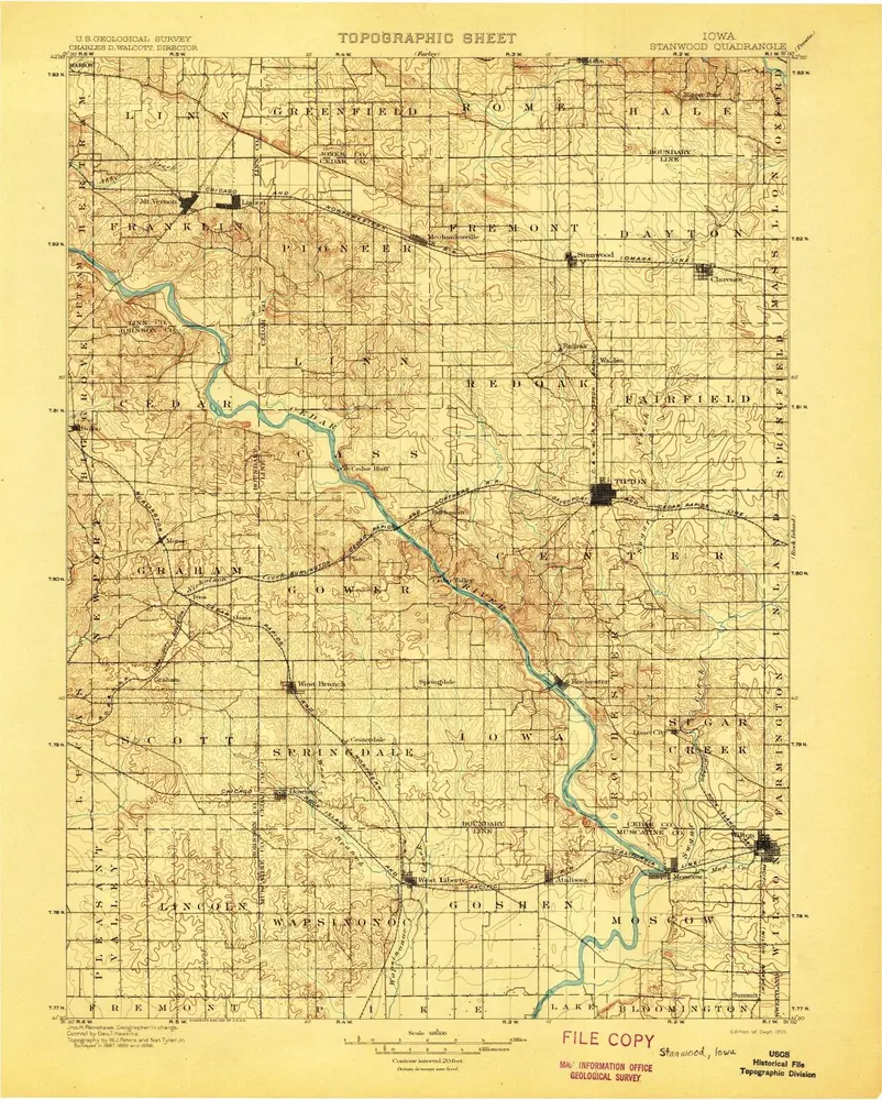
Stanwood
Wyświetlanie na zewnętrznej stronie internetowej
Zobacz zdigitalizowane
Einrichtung:
United States Geological Survey
Vollständiger Titel:
Stanwood
Jahr der Abbildung:
1901
Maßstab der Karte:
1:125 000
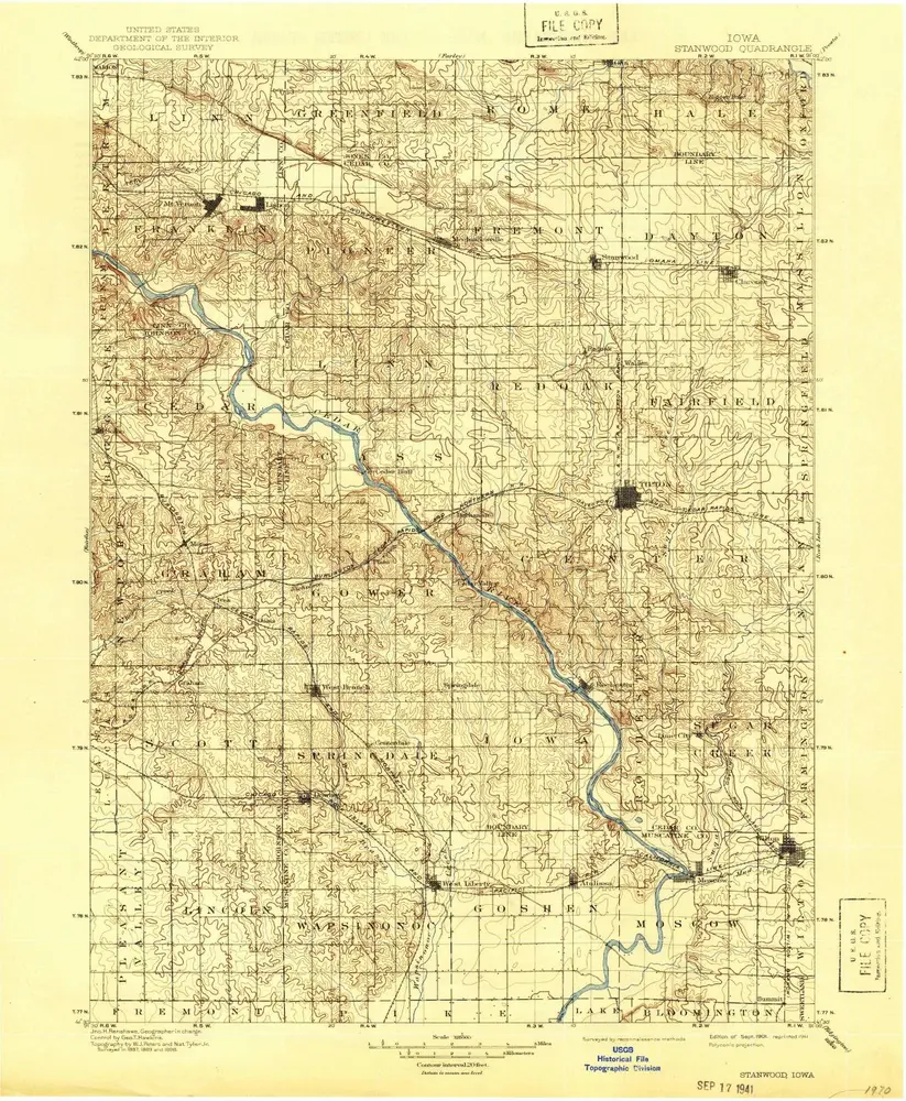
Stanwood
1901
1:125k
Stanwood
1901
1:125k
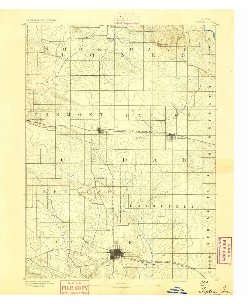
Tipton
1890
1:63k
Tipton
1890
1:63k
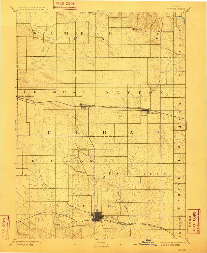
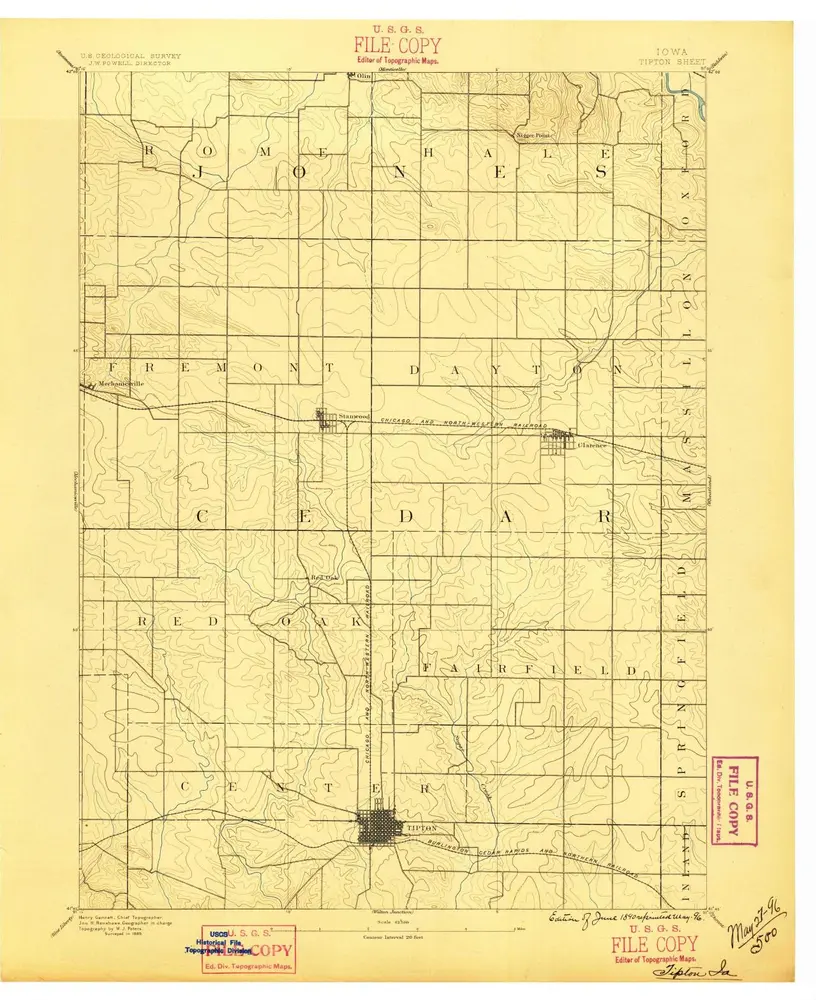
Tipton
1889
1:63k
Lime City
1991
1:24k
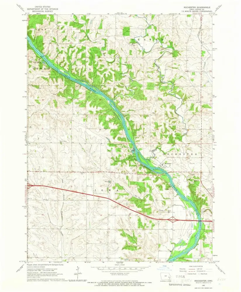
Rochester
1965
1:24k
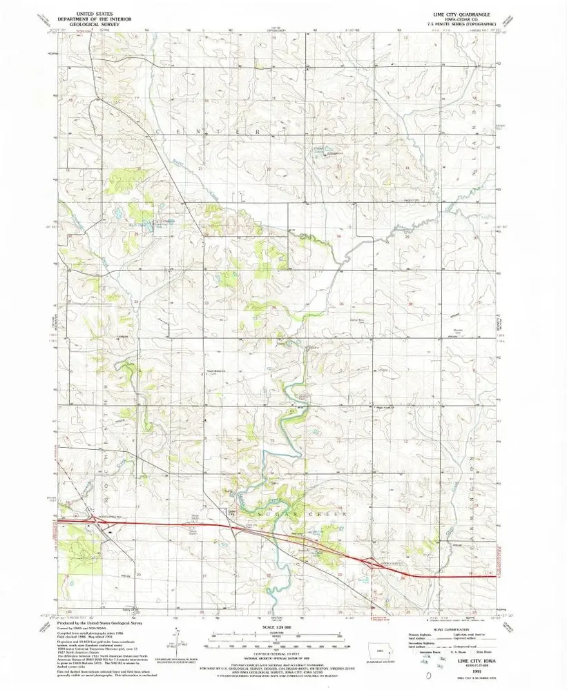
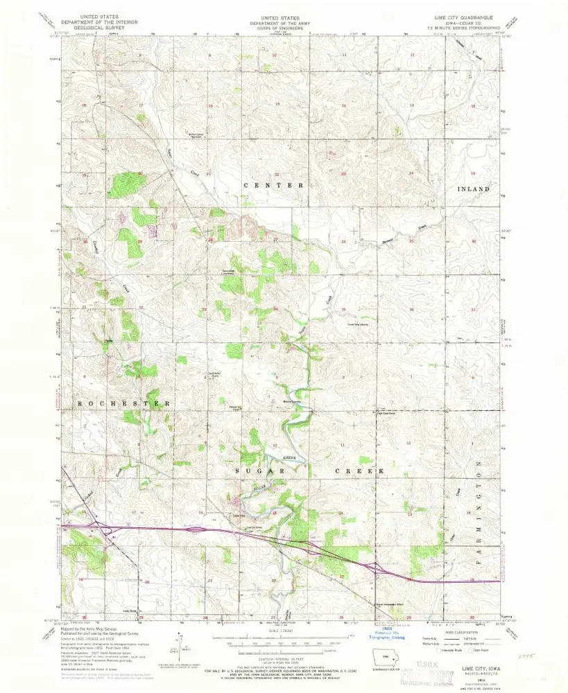
Lime City
1953
1:24k
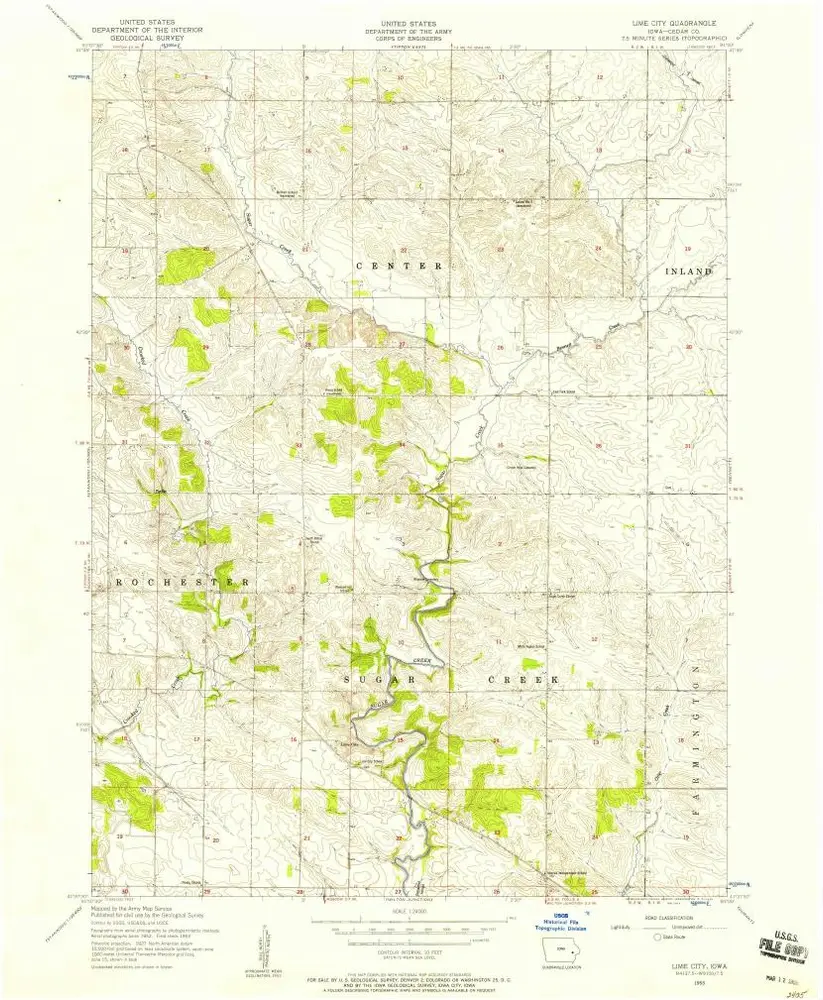
Lime City
1953
1:24k
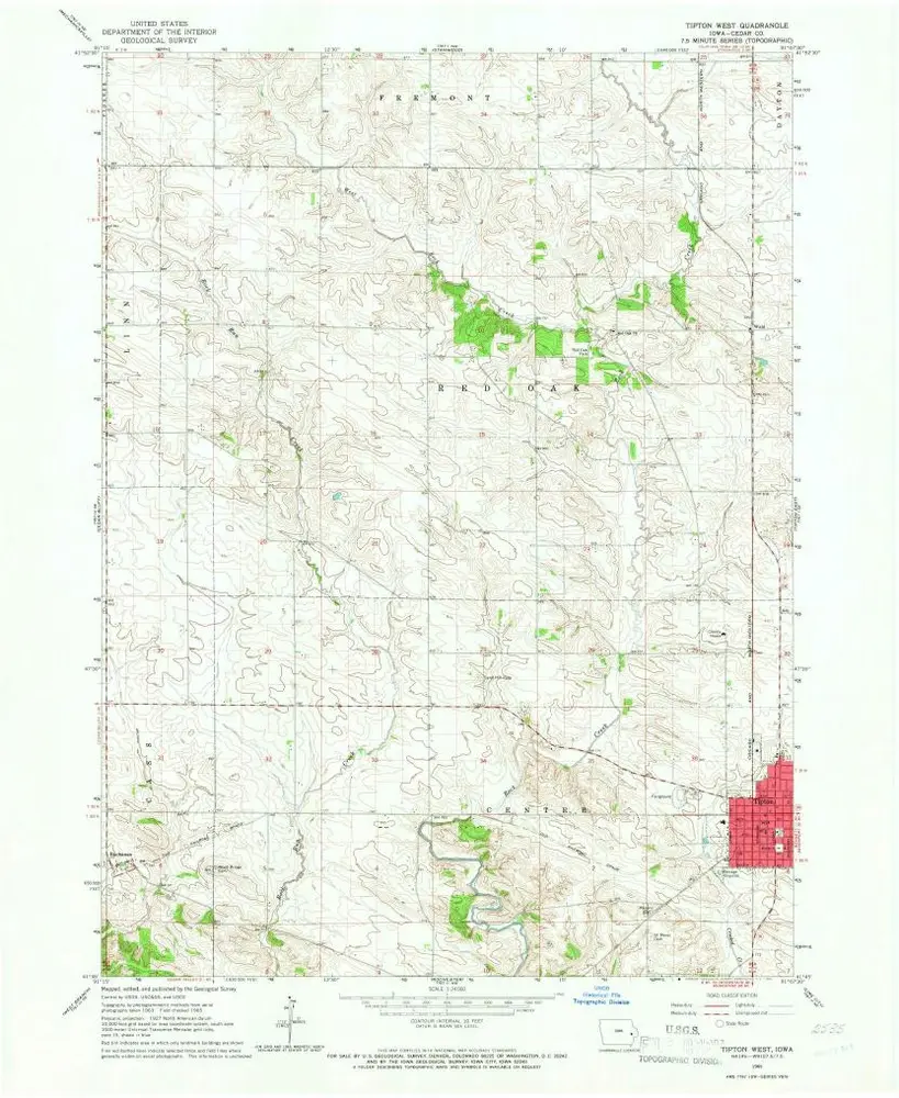
Tipton West
1965
1:24k
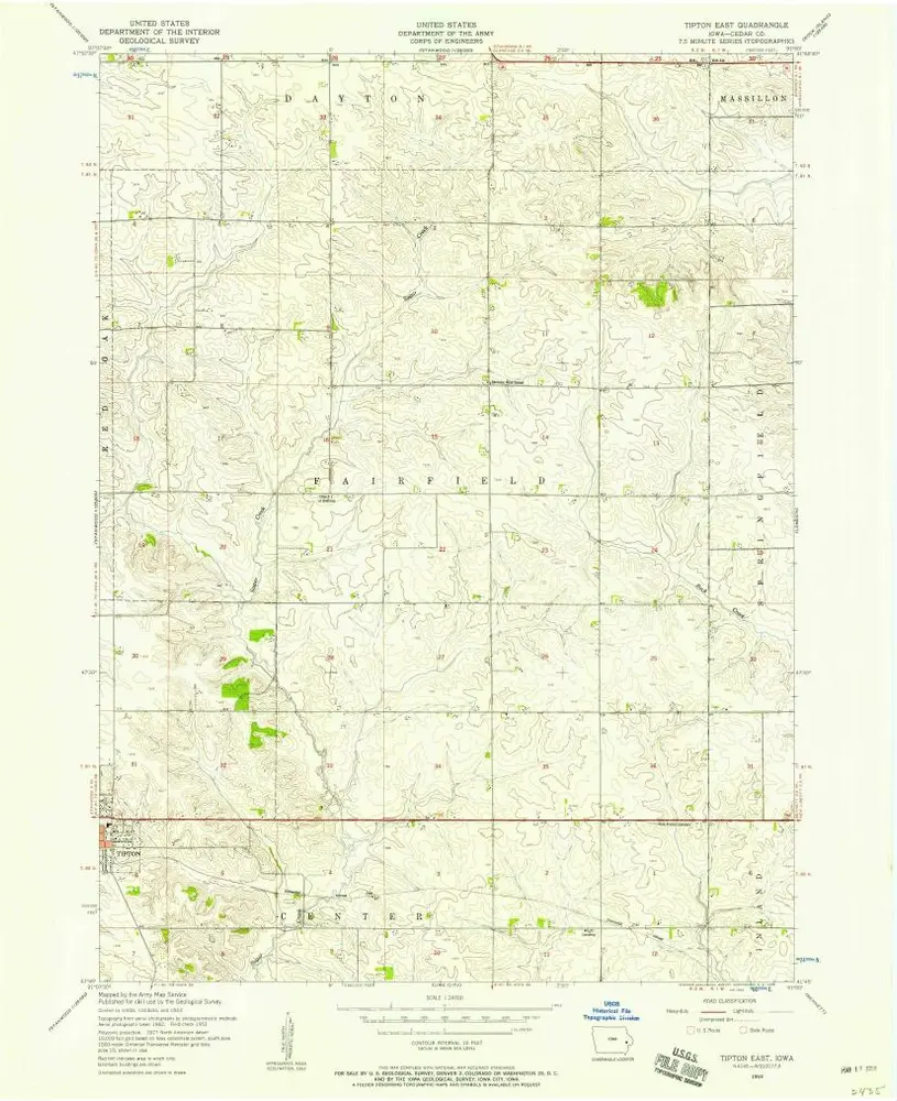
Tipton East
1953
1:24k
Geschichte