Projekt
Wspólnota
Aktualności
Moja aplikacja
Moje mapy
Katalogisierte Karte
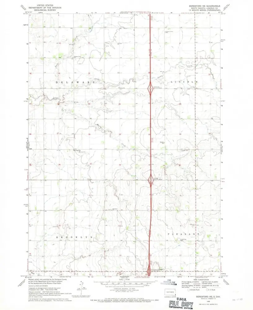
Beresford NE
Wyświetlanie na zewnętrznej stronie internetowej
Zobacz zdigitalizowane
Einrichtung:
United States Geological Survey
Vollständiger Titel:
Beresford NE
Jahr der Abbildung:
1968
Veröffentlichungsdatum:
1971
Maßstab der Karte:
1:24 000
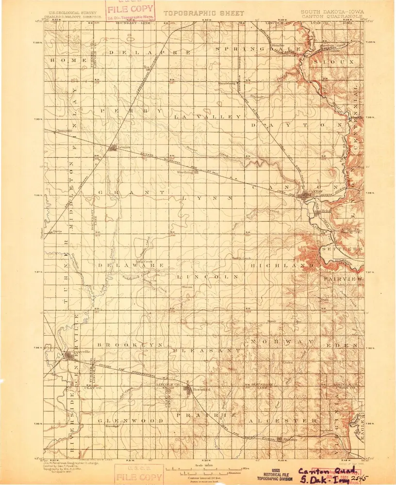
Canton
1900
1:125k
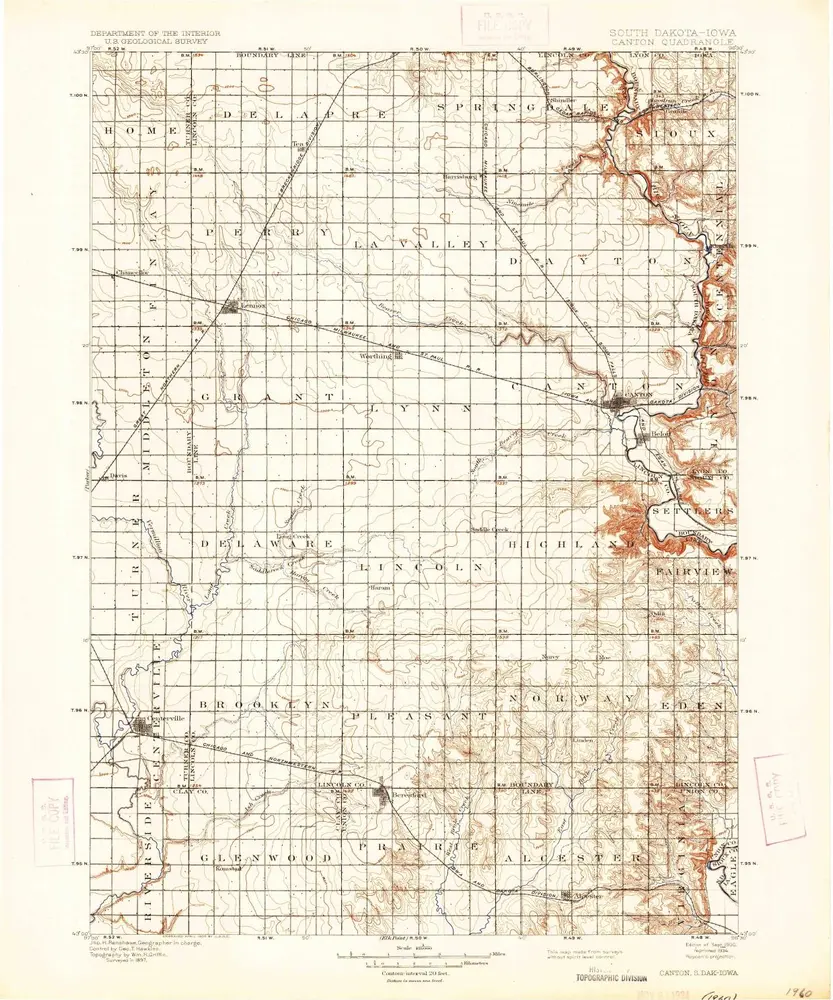
Canton
1900
1:125k
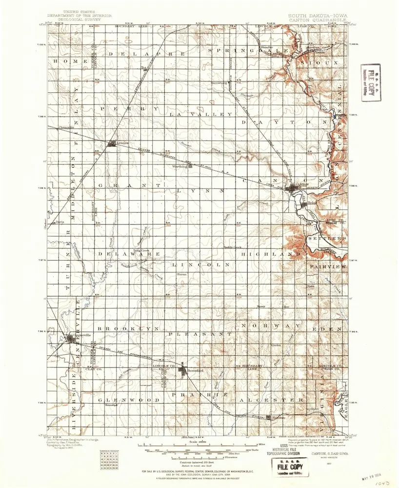
Canton
1897
1:125k
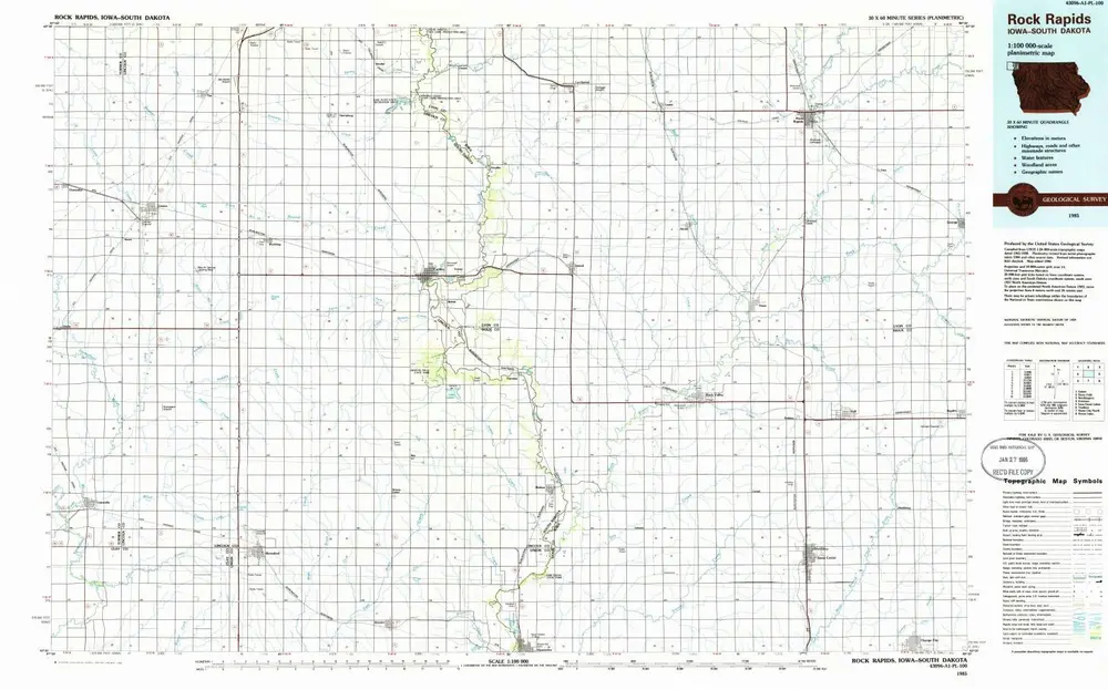
Rock Rapids
1985
1:100k
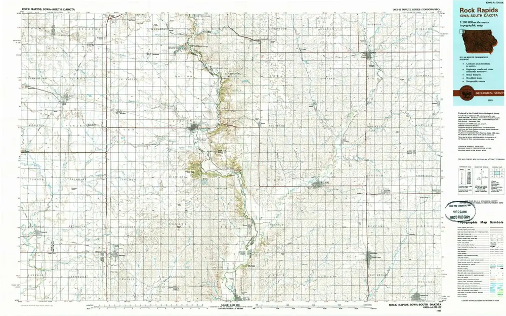
Rock Rapids
1985
1:100k
Beresford NE
1968
1:24k
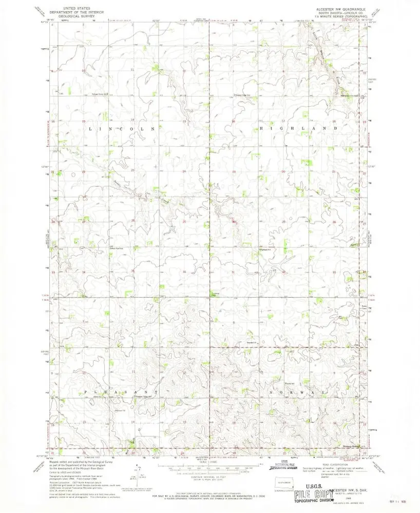
Alcester NW
1968
1:24k
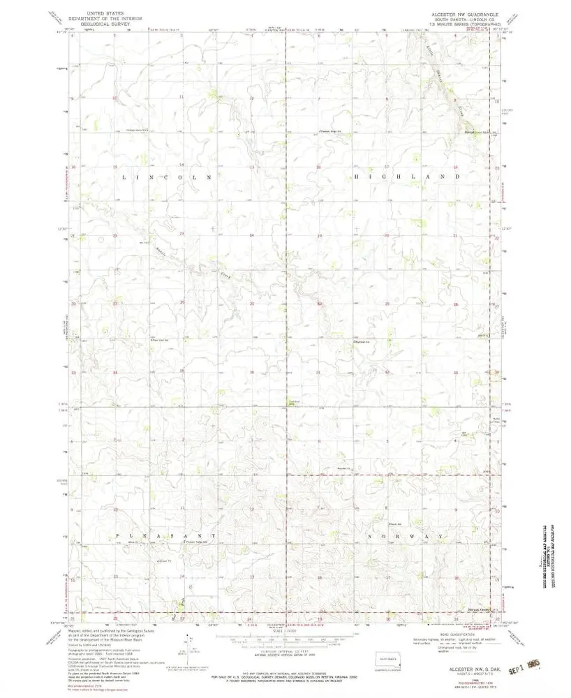
Alcester NW
1968
1:24k
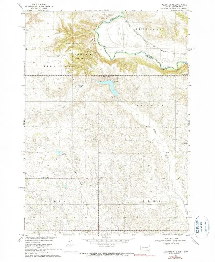
Alcester NE
1968
1:24k
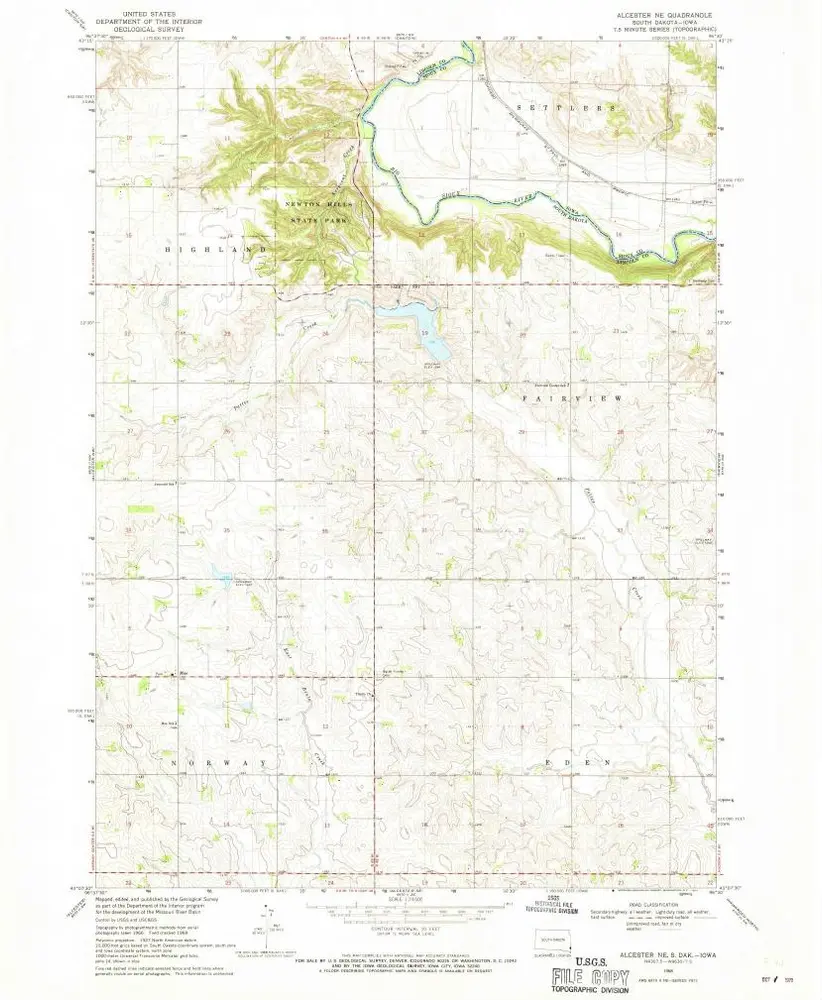
Alcester NE
1968
1:24k
Geschichte