Projekt
Wspólnota
Aktualności
Moja aplikacja
Moje mapy
Carte cataloguée
Map of Kansas City : showing public park system
Wyświetlanie na zewnętrznej stronie internetowej
View digitized
Institution:
Harvard Library
Titre complet:
Map of Kansas City : showing public park system
Année de l'image:
1901
Date de publication:
1901
Éditeur:
Board of Park Commissioners
Échelle de la carte:
1:2 400
Katalog
Harvard Library
nrs.harvard.edu
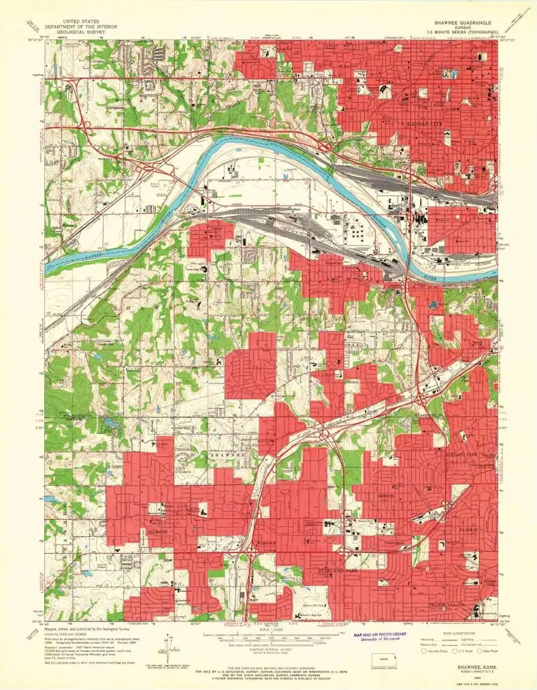
Shawnee
1991
1:24k
Shawnee
1964
1:24k
Shawnee
1964
1:24k
Shawnee
1964
1:24k
Shawnee
1964
1:24k
Shawnee
1957
1:24k
Shawnee
1943
1:32k
Shawnee
1934
1:24k
Shawnee
1934
1:24k
Map of Kansas City : showing public park system
1901
Tuttle & Pike (Kansas City, Mo.)
1:2k
L'histoire