Projekt
Wspólnota
Aktualności
Moja aplikacja
Moje mapy
Katalogisierte Karte
Northwest Columbus
Wyświetlanie na zewnętrznej stronie internetowej
Zobacz zdigitalizowane
Einrichtung:
United States Geological Survey
Vollständiger Titel:
Northwest Columbus
Jahr der Abbildung:
1965
Veröffentlichungsdatum:
1983
Maßstab der Karte:
1:24 000
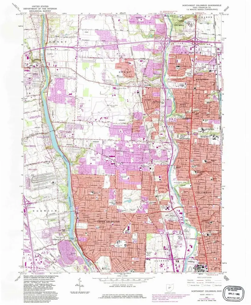
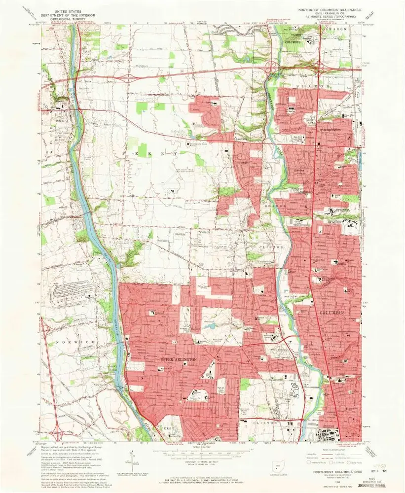
Northwest Columbus
1995
1:24k
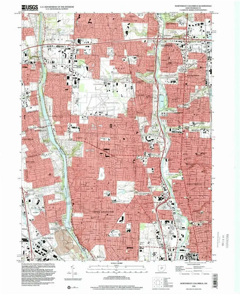
Northwest Columbus
1995
1:24k
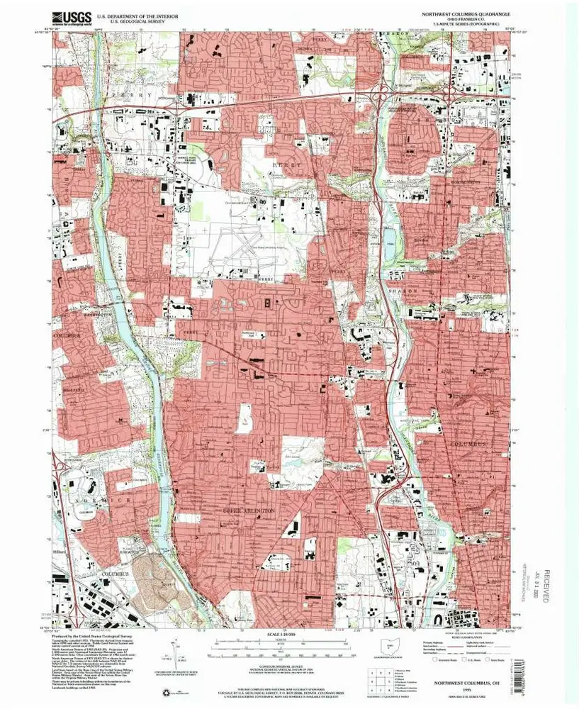
Northwest Columbus
1965
1:24k
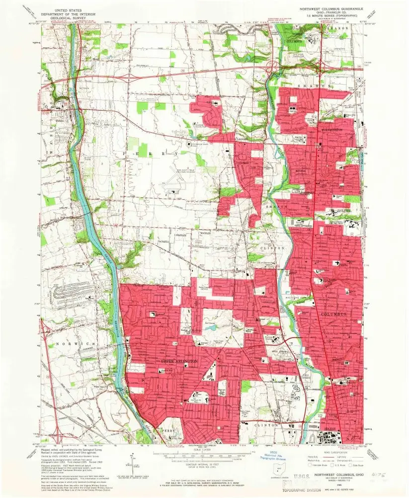
Northwest Columbus
1965
1:24k
Northwest Columbus
1965
1:24k
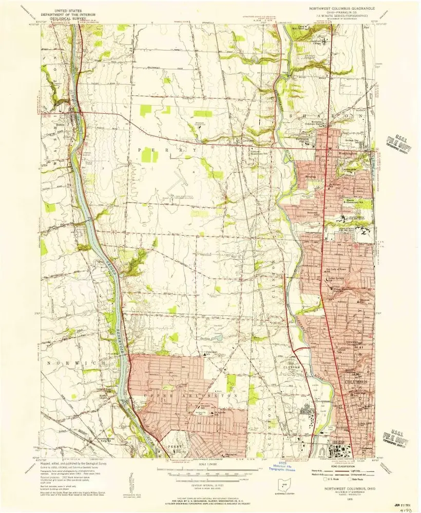
Northwest Columbus
1955
1:24k
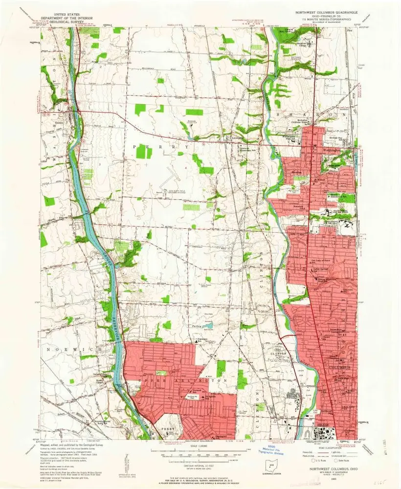
Northwest Columbus
1955
1:24k
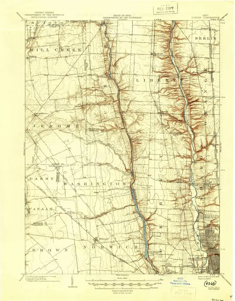
Dublin
1903
1:63k
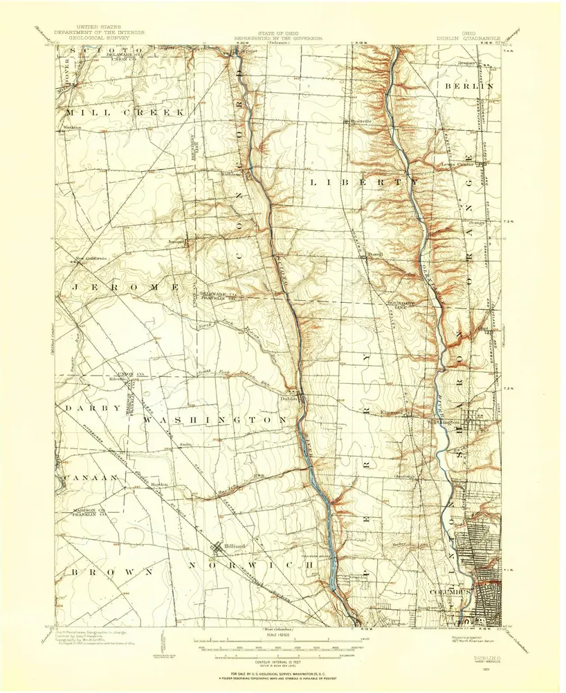
Dublin
1903
1:63k
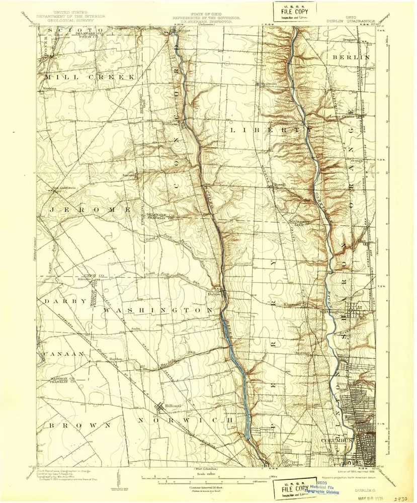
Dublin
1901
1:63k
Geschichte