Skatalogowana mapa
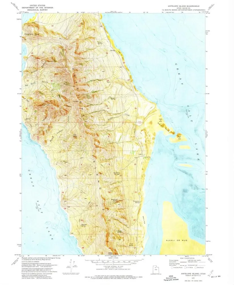
Antelope Island

Instytucja:United States Geological Survey
Pełny tytuł:Antelope Island
Rok ilustracji:1972
Data publikacji:1974
Skala mapy:1:24 000
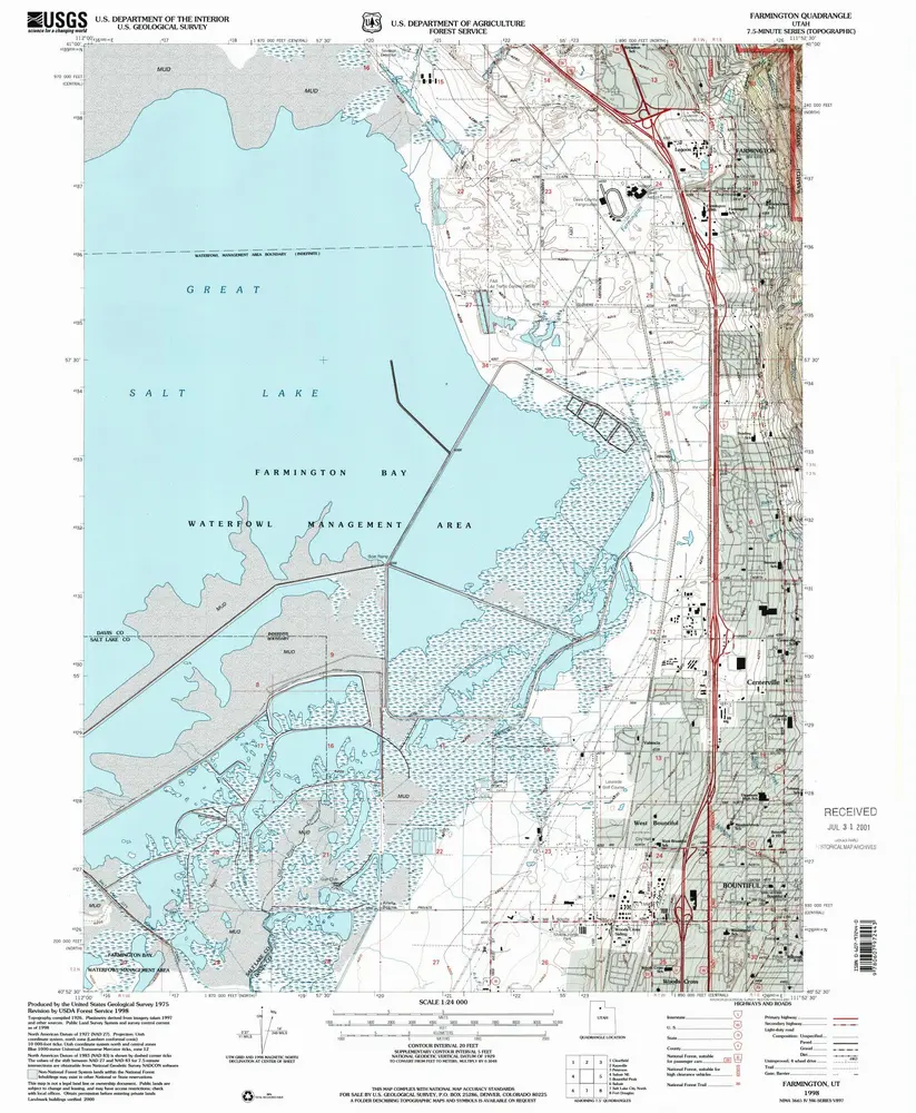
Farmington
1998
1:24k
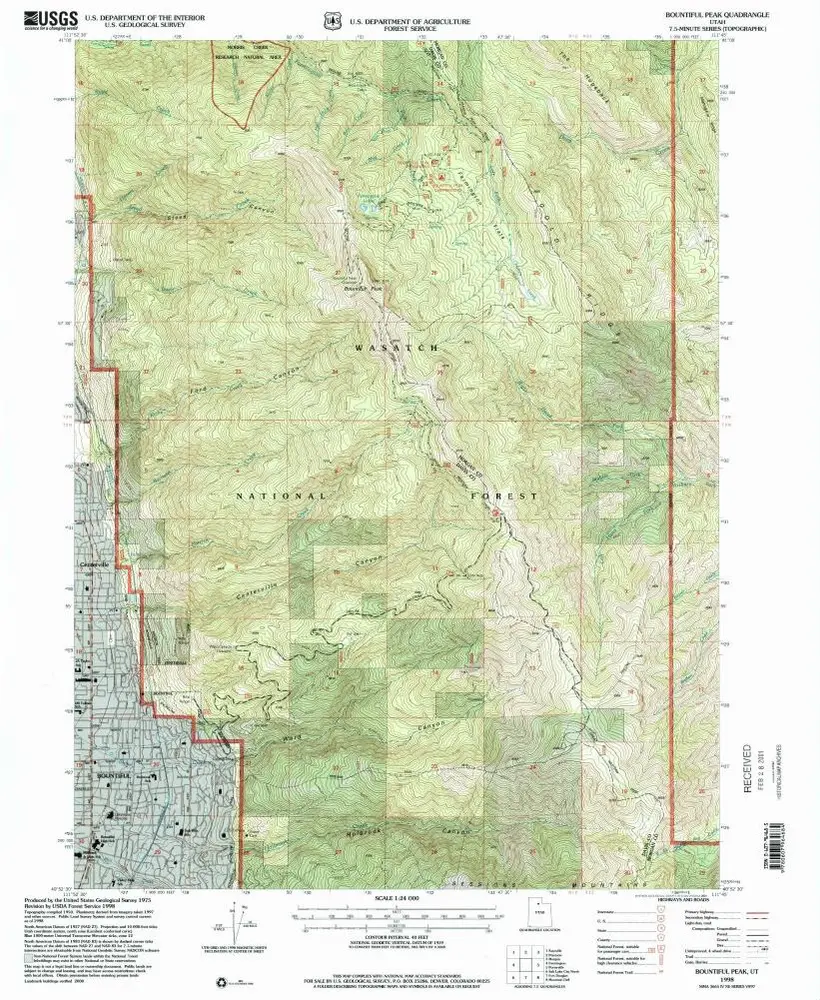
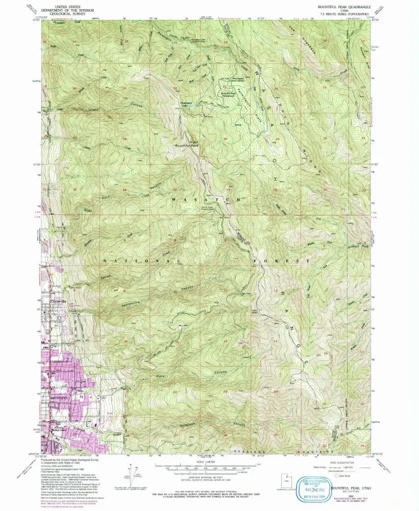
Bountiful Peak
1998
1:24k
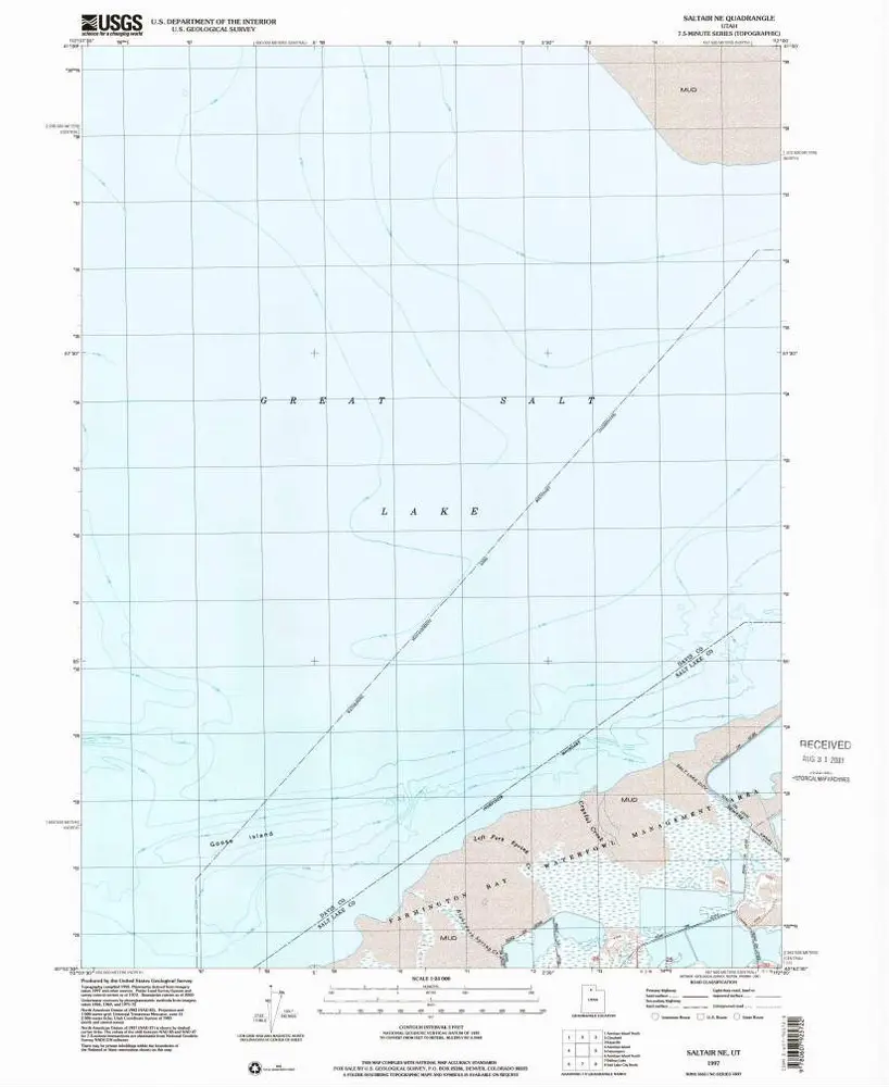
Saltair NE
1997
1:24k
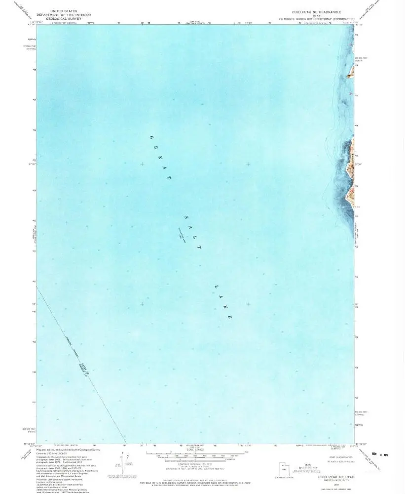
Plug Peak NE
1972
1:24k
Antelope Island
1972
1:24k
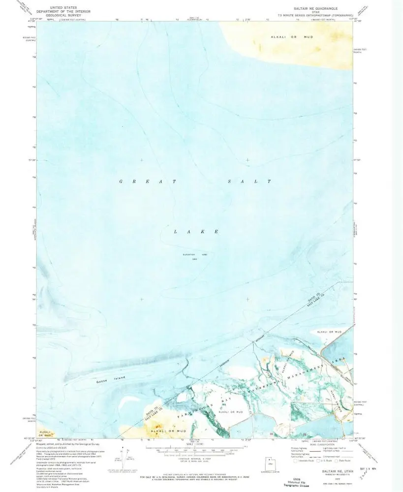
Saltair NE
1972
1:24k
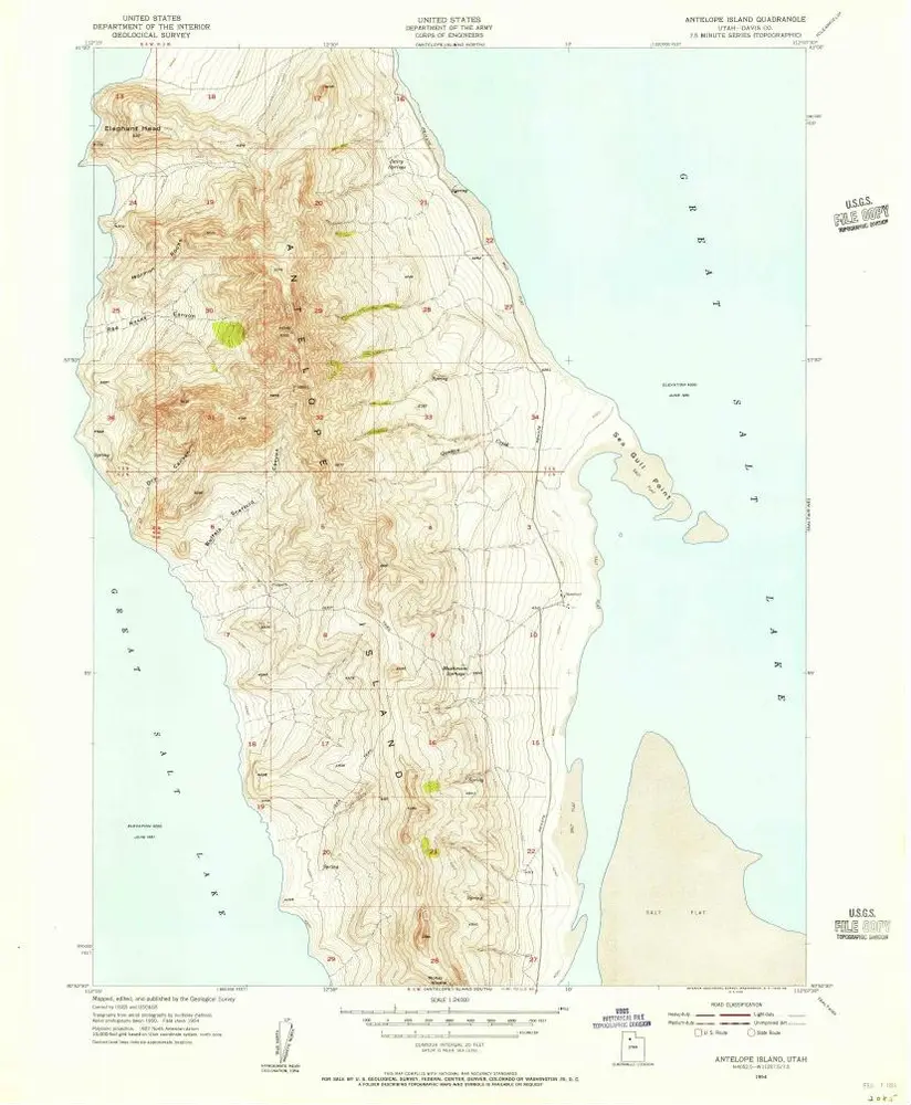
Antelope Island
1954
1:24k
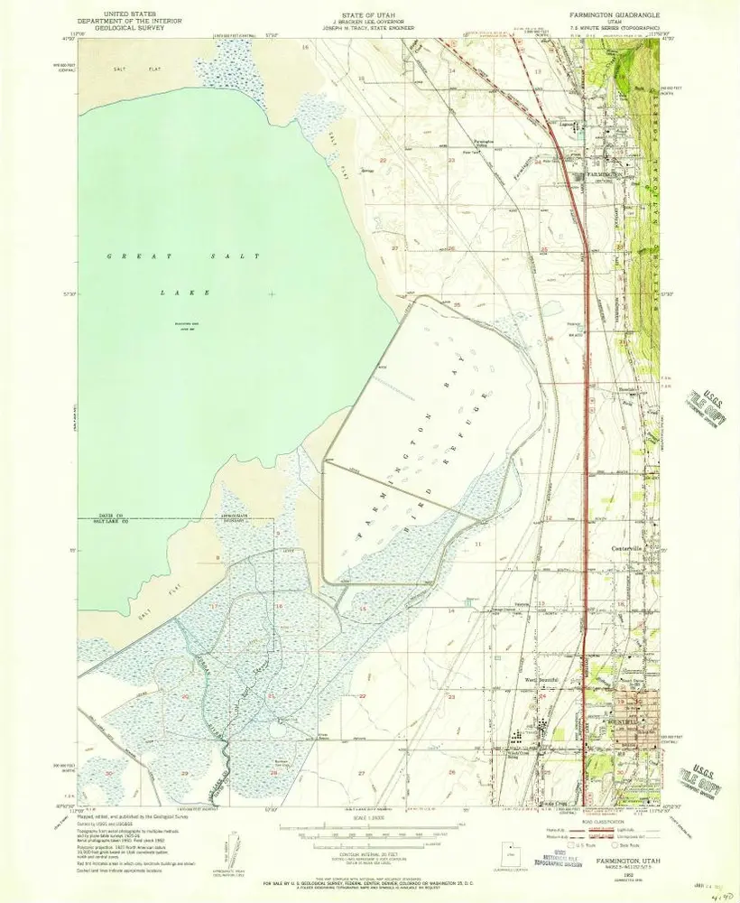
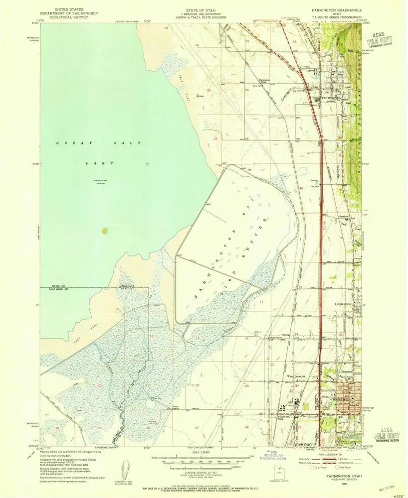
Farmington
1952
1:24k
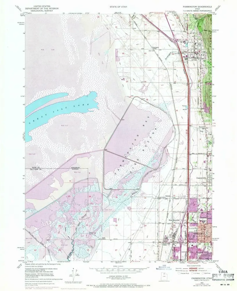
Farmington
1952
1:24k
Farmington
1952
1:24k
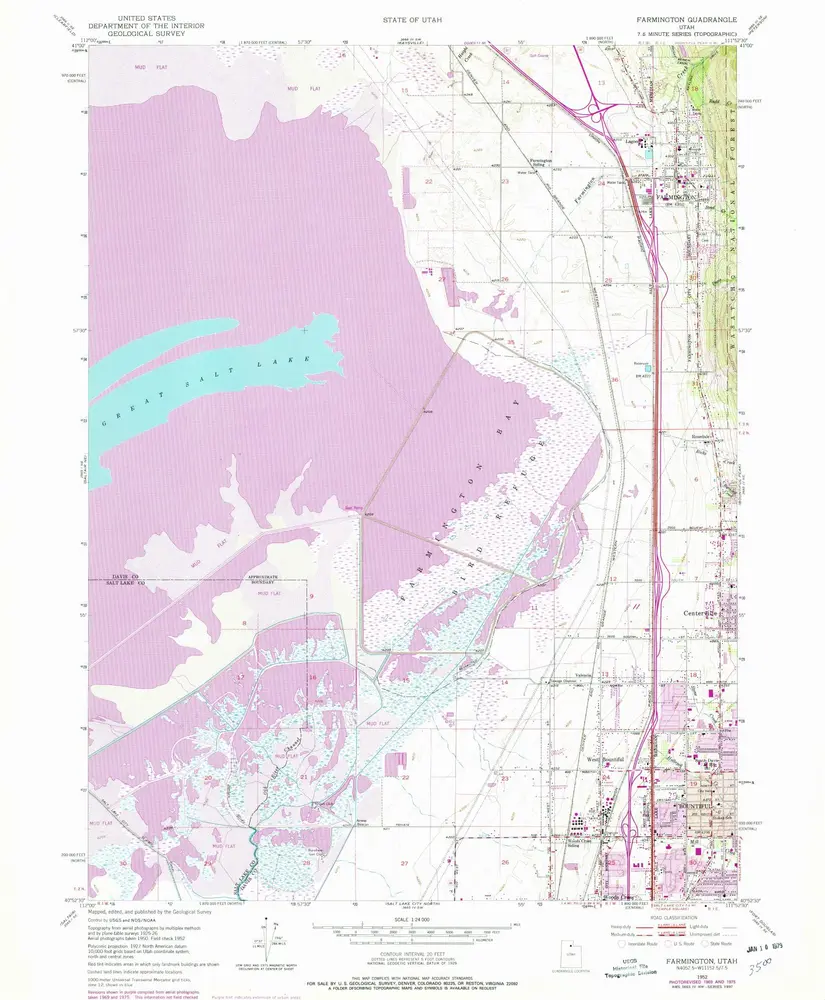
Farmington
1952
1:24k
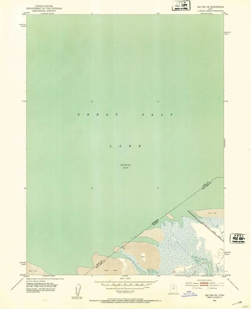
Saltair NE
1952
1:24k
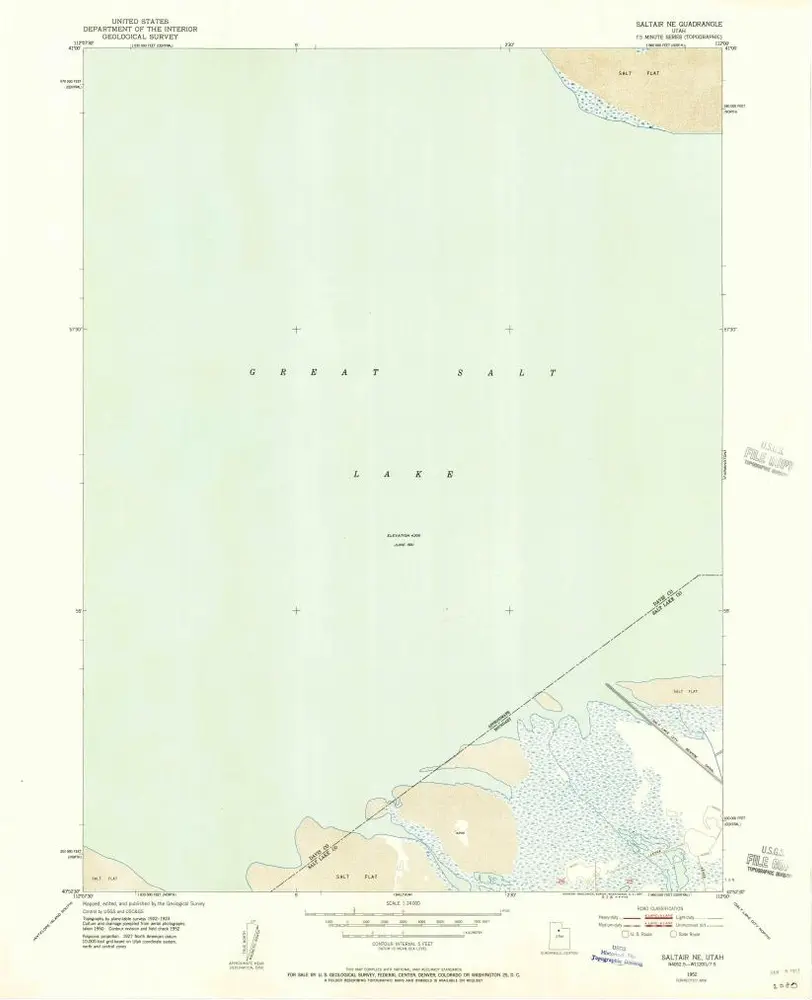
Saltair NE
1952
1:24k
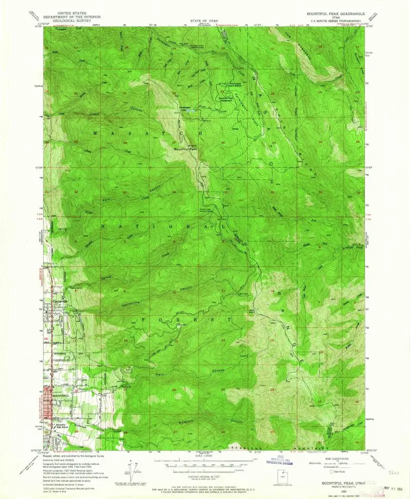
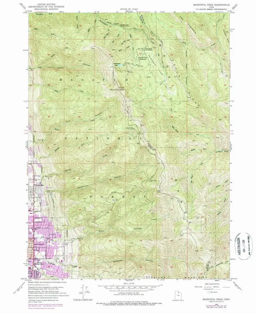
Bountiful Peak
1952
1:24k
Bountiful Peak
1952
1:24k
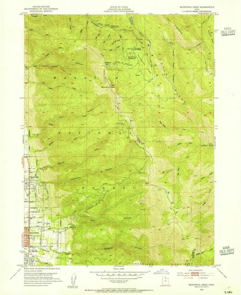
Bountiful Peak
1952
1:24k
Bountiful Peak
1952
1:24k
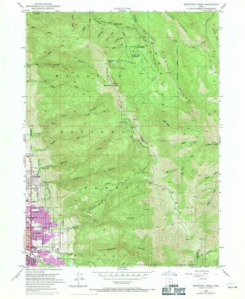
Bountiful Peak
1952
1:24k