Projekt
Wspólnota
Aktualności
Moja aplikacja
Moje mapy
Katalogisierte Karte
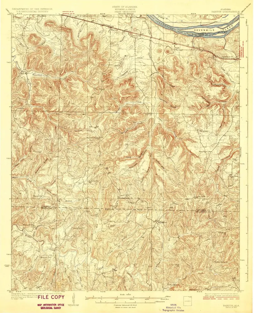
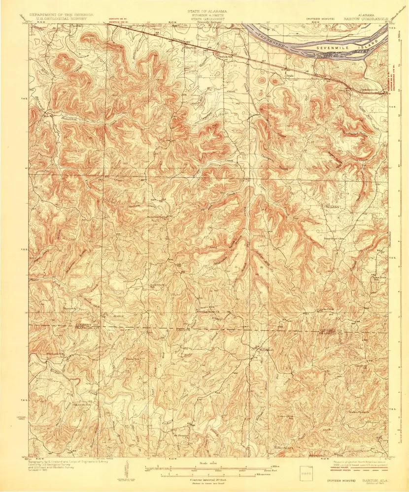
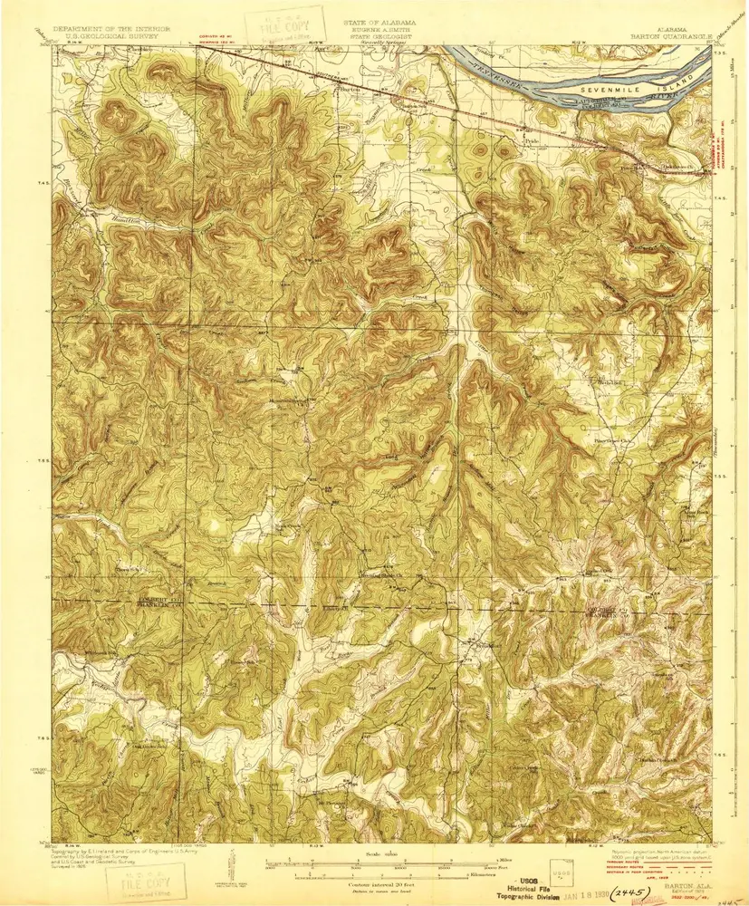
Barton
Wyświetlanie na zewnętrznej stronie internetowej
Zobacz zdigitalizowane
Einrichtung:
United States Geological Survey
Vollständiger Titel:
Barton
Jahr der Abbildung:
1929
Maßstab der Karte:
1:62 500
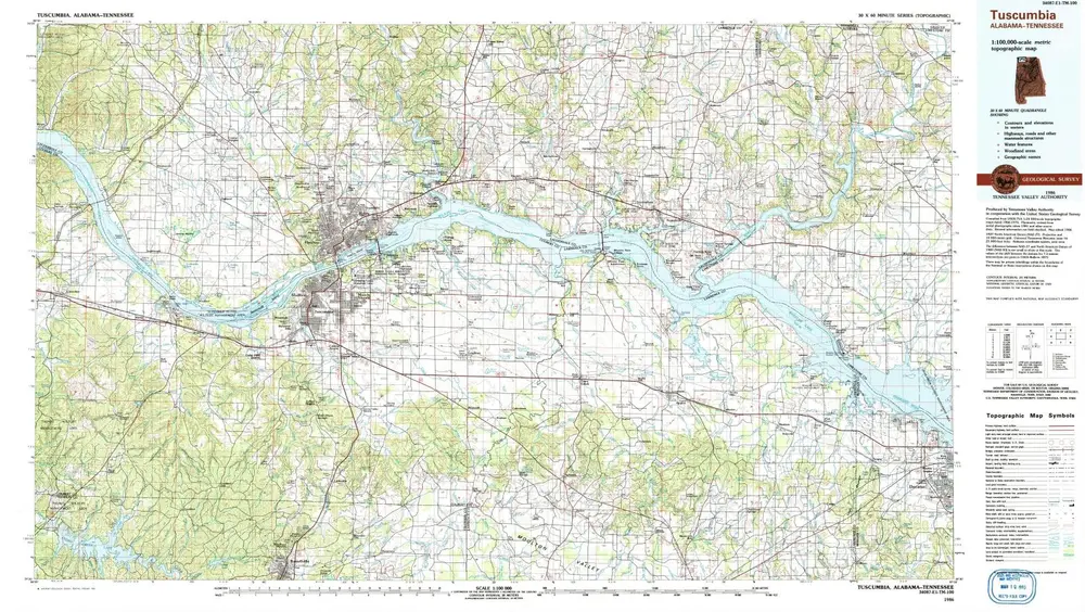
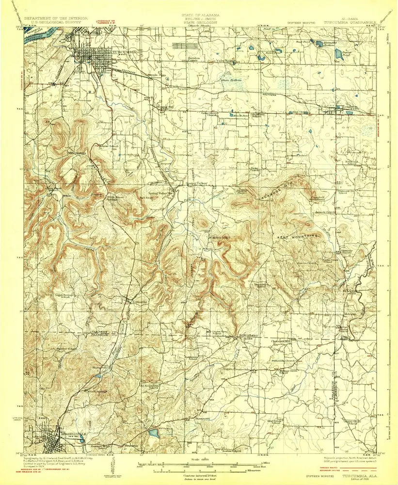
Tuscumbia
1986
1:100k
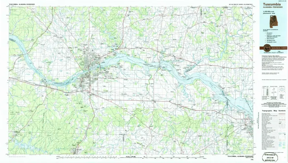
Tuscumbia
1986
1:100k
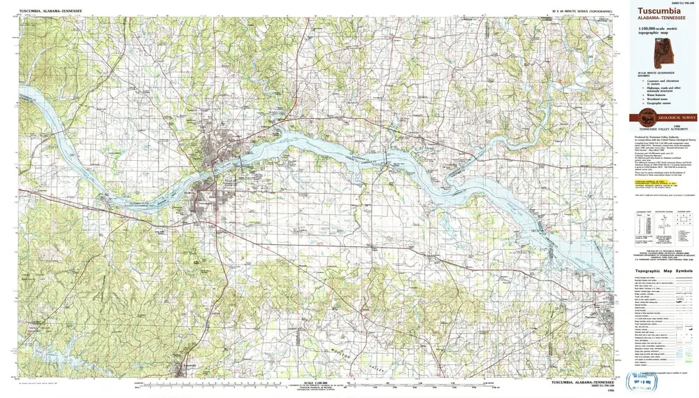
Tuscumbia
1986
1:100k
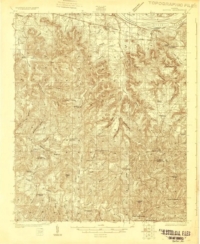
Barton
1929
1:63k
Barton
1929
1:63k
Barton
1929
1:63k
Barton
1926
1:48k
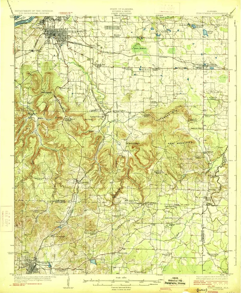
Tuscumbia
1926
1:63k
Tuscumbia
1926
1:63k
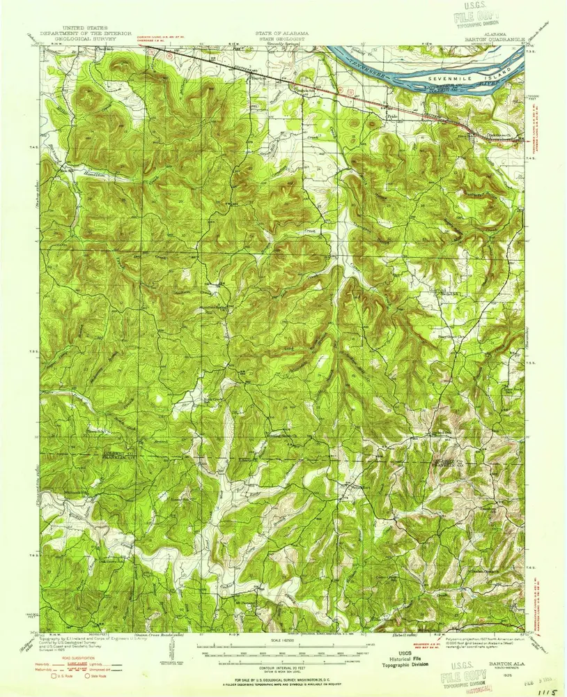
Barton
1925
1:63k
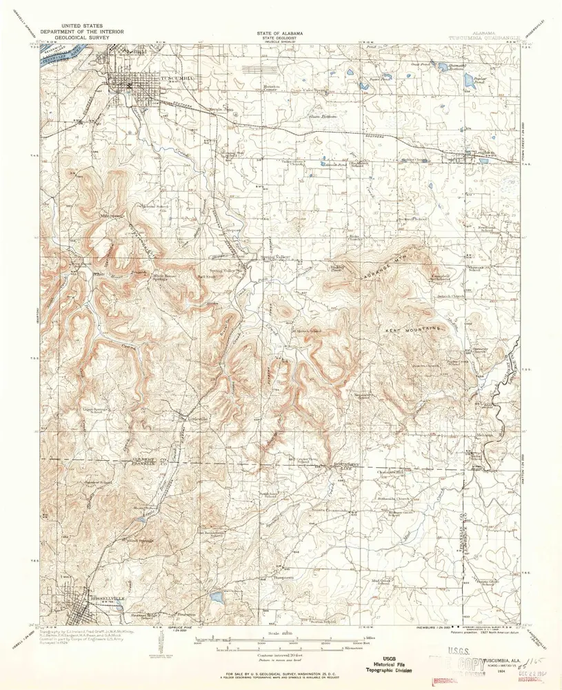
Tuscumbia
1924
1:63k
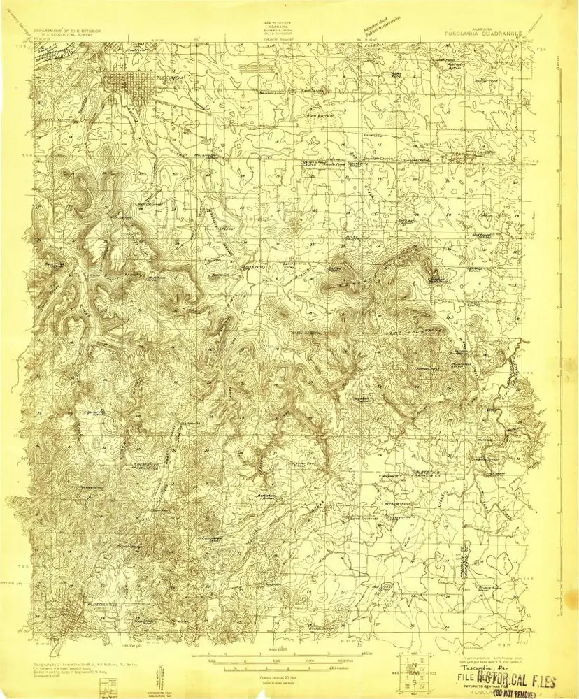
Tuscumbia
1924
1:48k
Geschichte