Projekt
Wspólnota
Aktualności
Moja aplikacja
Moje mapy
Katalogisierte Karte
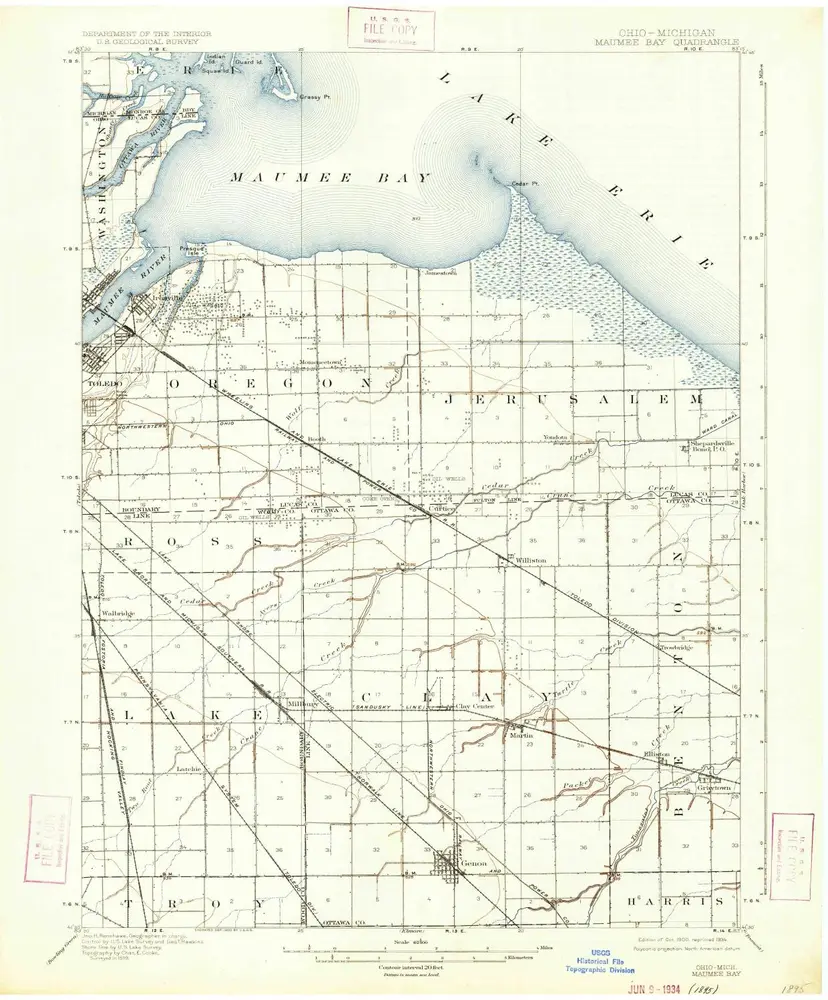
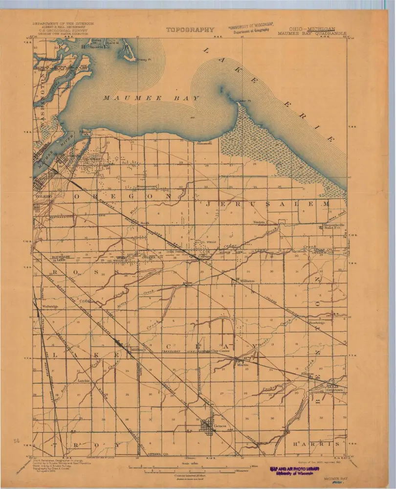
Maumee Bay
Wyświetlanie na zewnętrznej stronie internetowej
Zobacz zdigitalizowane
Einrichtung:
United States Geological Survey
Vollständiger Titel:
Maumee Bay
Jahr der Abbildung:
1900
Veröffentlichungsdatum:
1934
Maßstab der Karte:
1:62 500
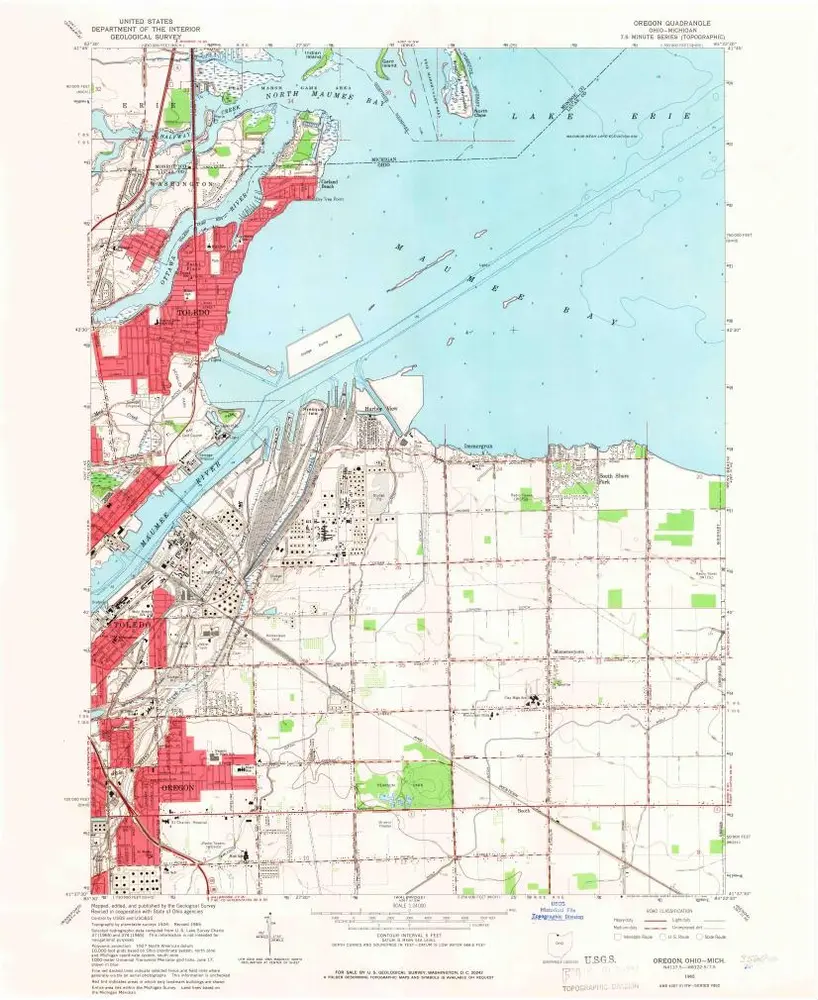
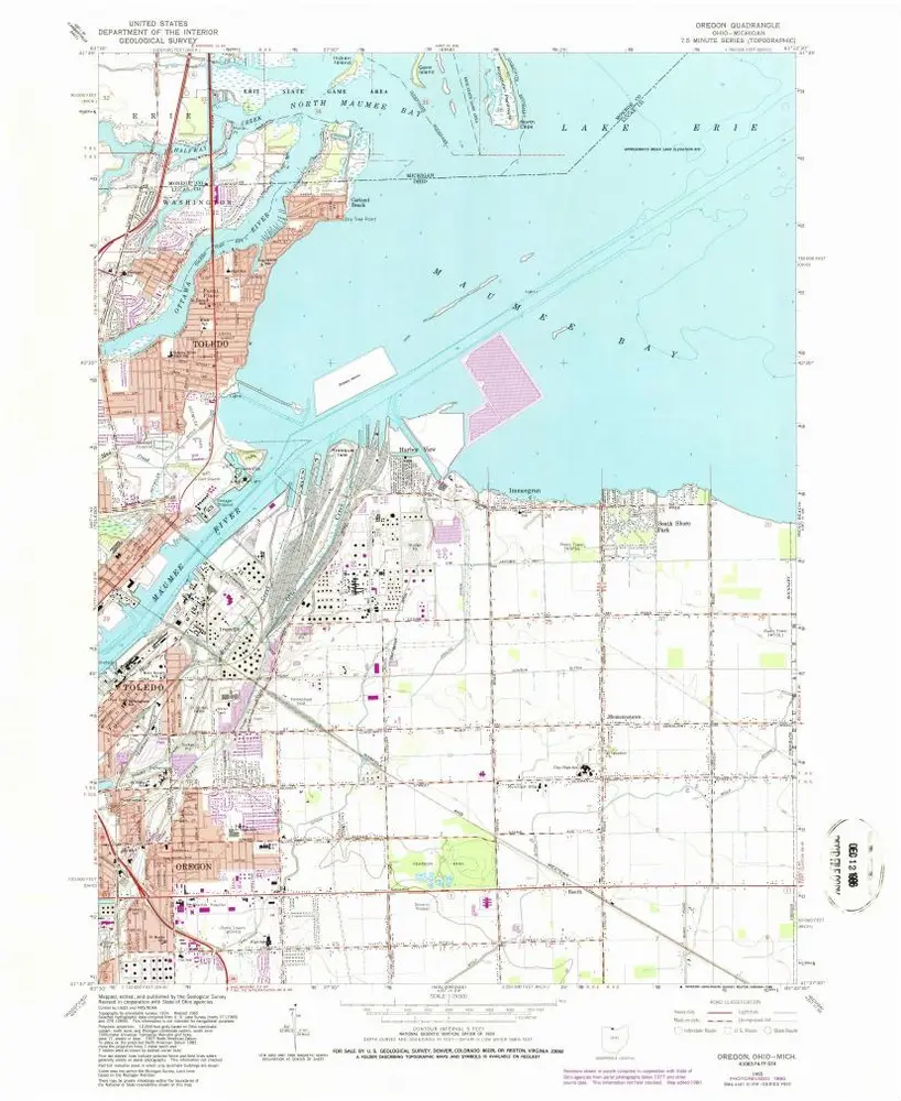
Oregon
1965
1:24k
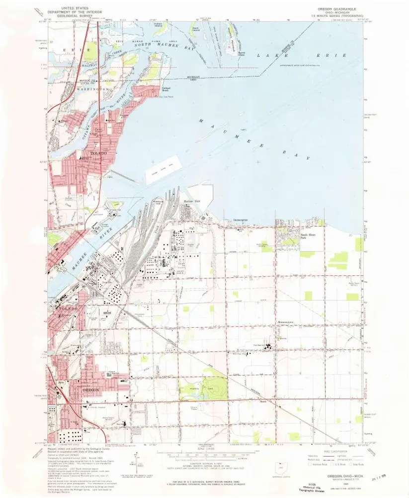
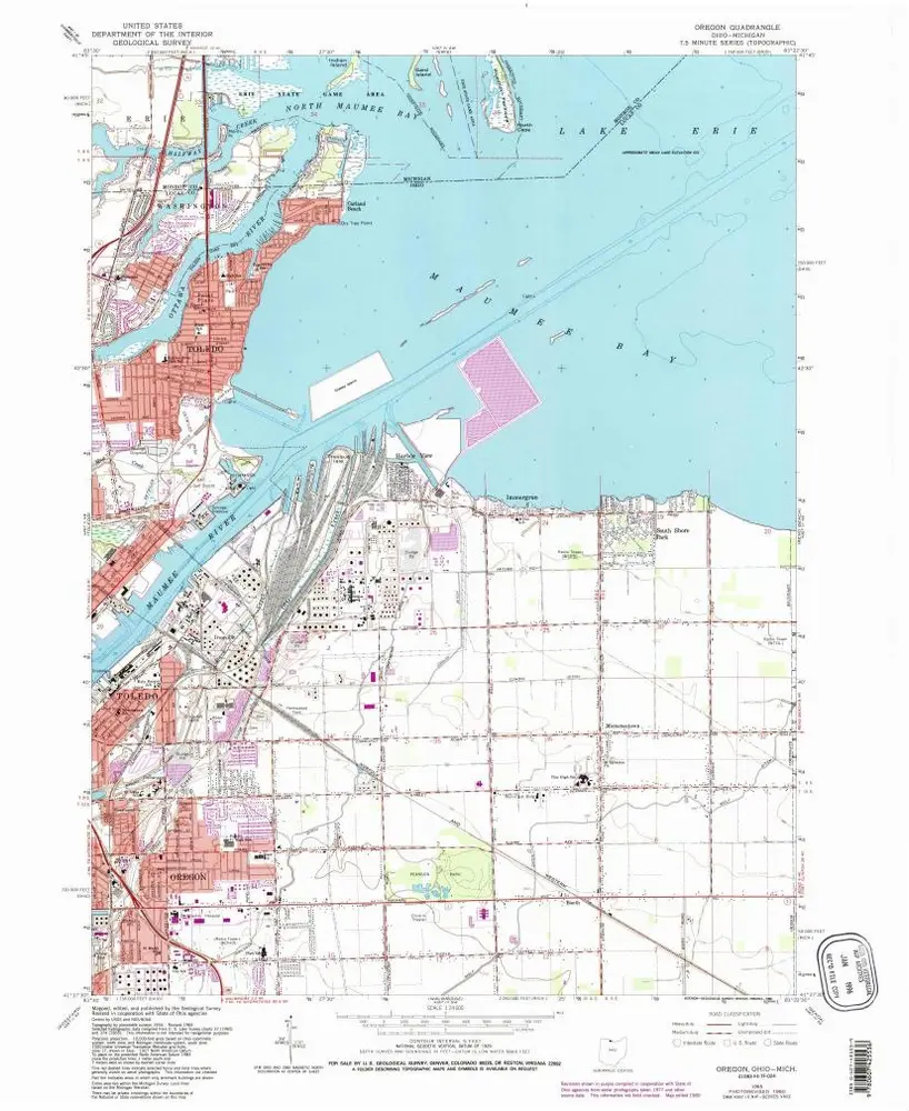
Oregon
1965
1:24k
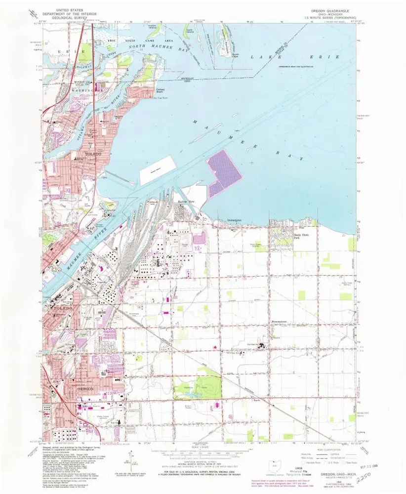
Oregon
1965
1:24k
Oregon
1965
1:24k
Oregon
1965
1:24k
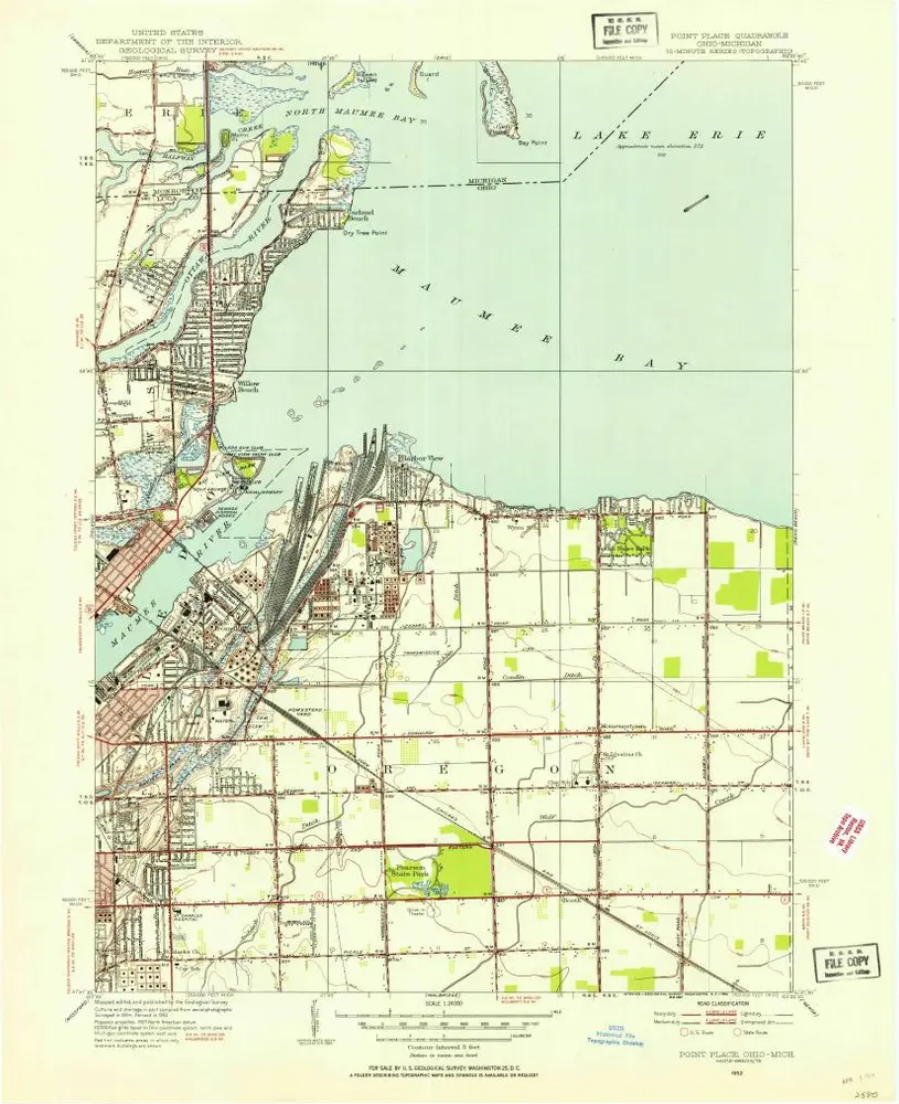
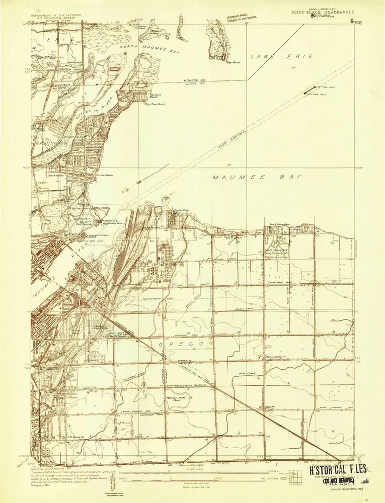
Point Place
1952
1:24k
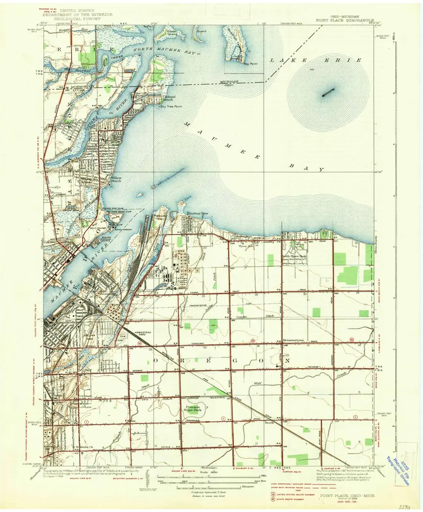
Point Place
1938
1:32k
Point Place
1934
1:24k
Maumee Bay
1900
1:63k
Maumee Bay
1900
1:63k
Geschichte