Projekt
Wspólnota
Aktualności
Moja aplikacja
Moje mapy
Katalogisierte Karte
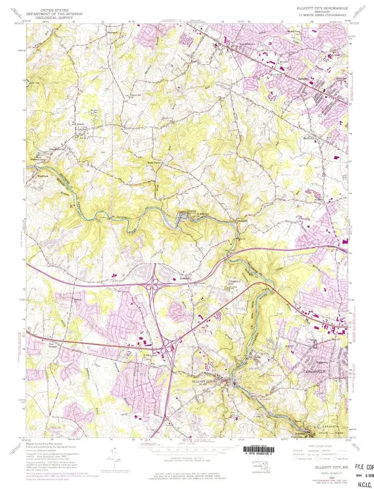
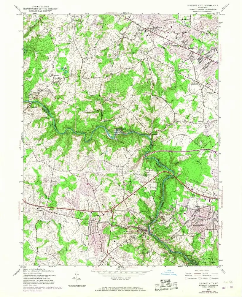
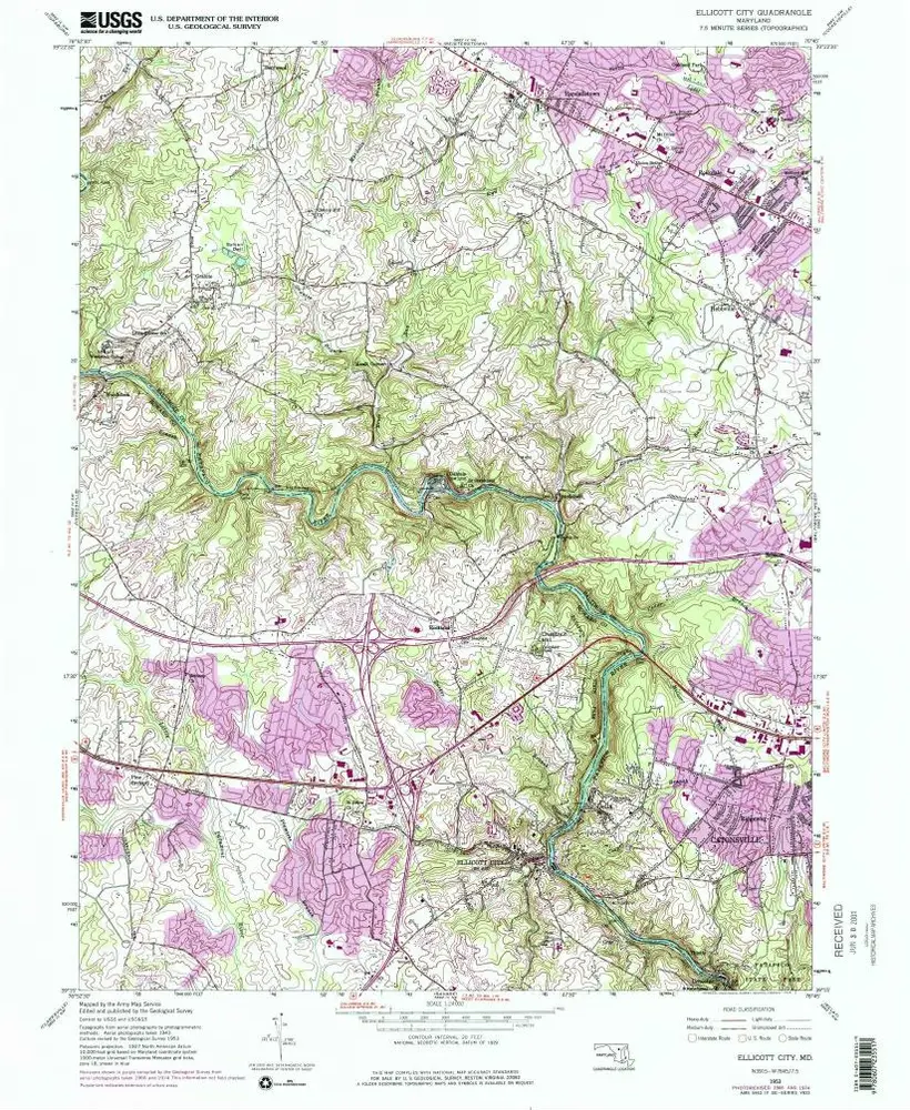
Ellicott City
Wyświetlanie na zewnętrznej stronie internetowej
Zobacz zdigitalizowane
Einrichtung:
United States Geological Survey
Vollständiger Titel:
Ellicott City
Jahr der Abbildung:
1953
Veröffentlichungsdatum:
1976
Maßstab der Karte:
1:24 000
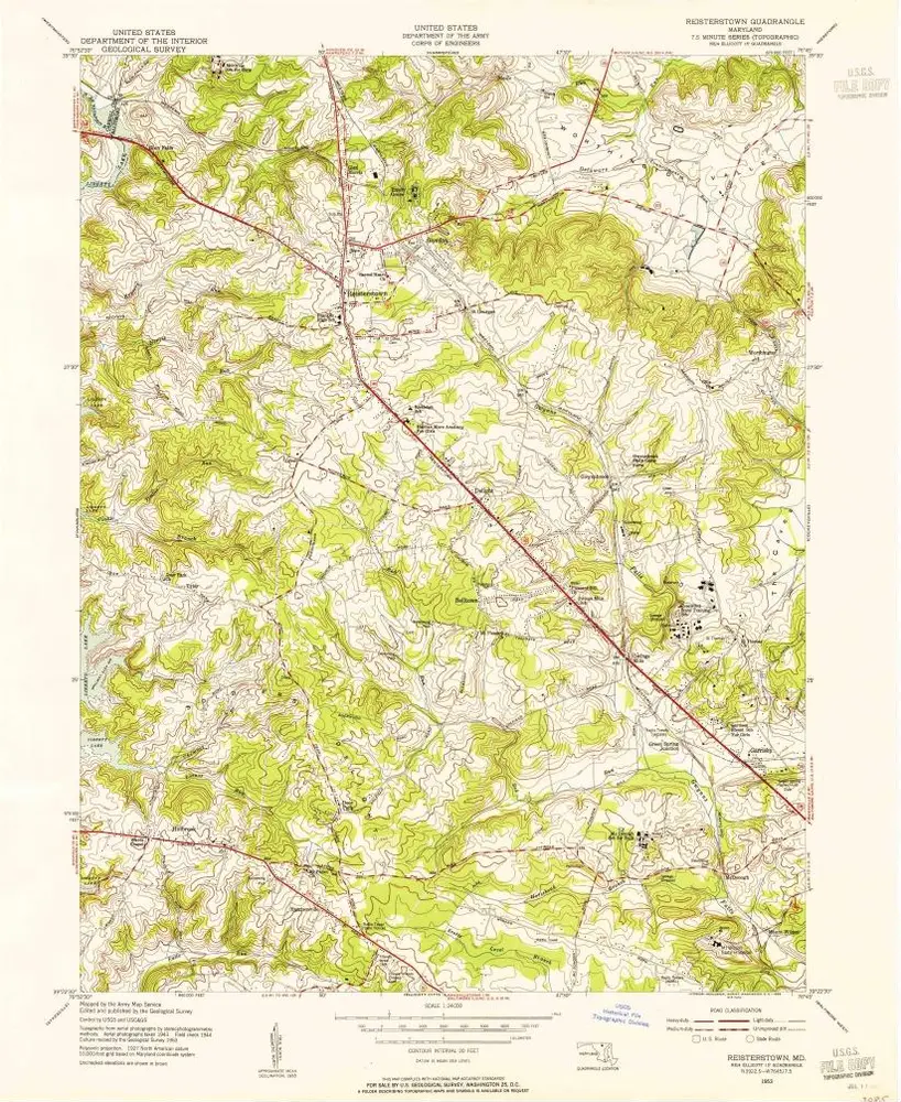
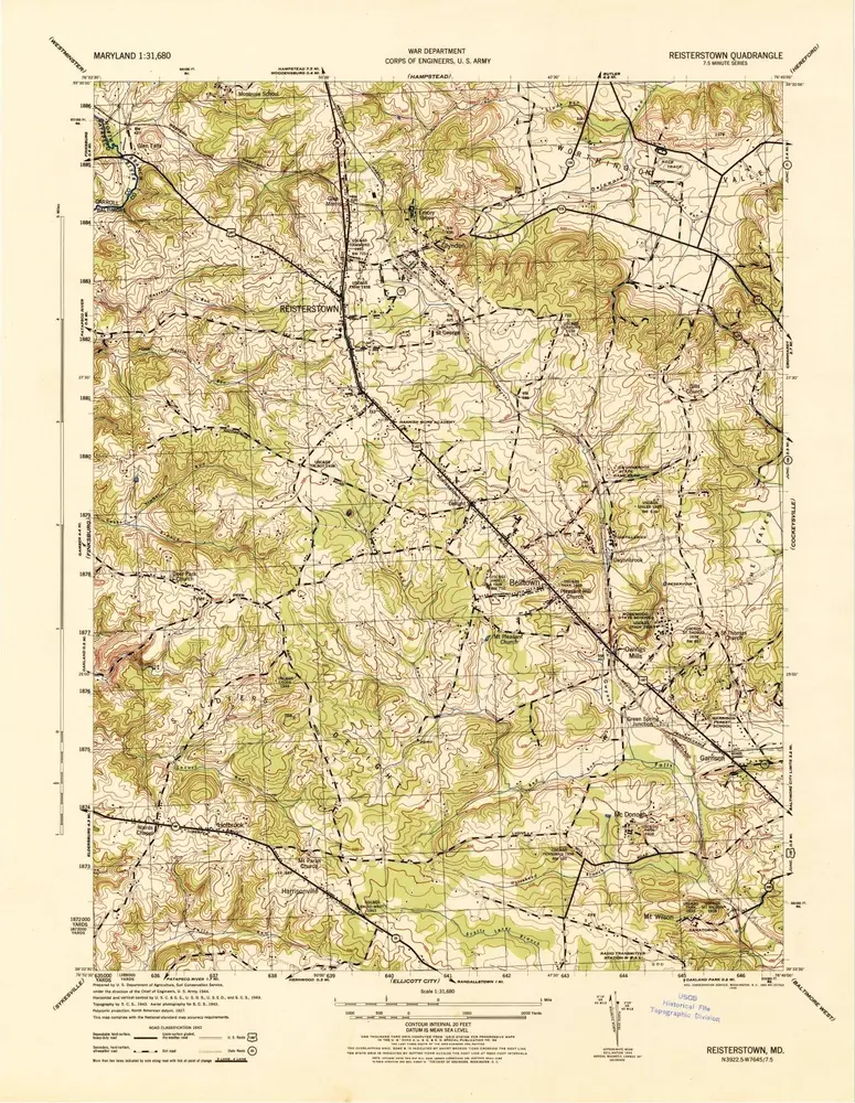
Reisterstown
1953
1:24k
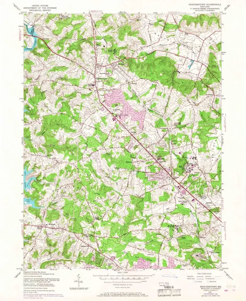
Reisterstown
1953
1:24k
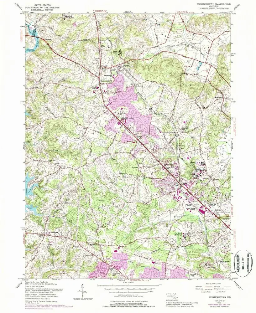
Reisterstown
1953
1:24k
Reisterstown
1944
1:32k
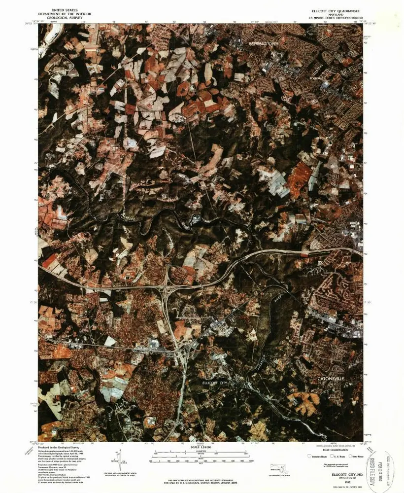
Ellicott City
1982
1:24k
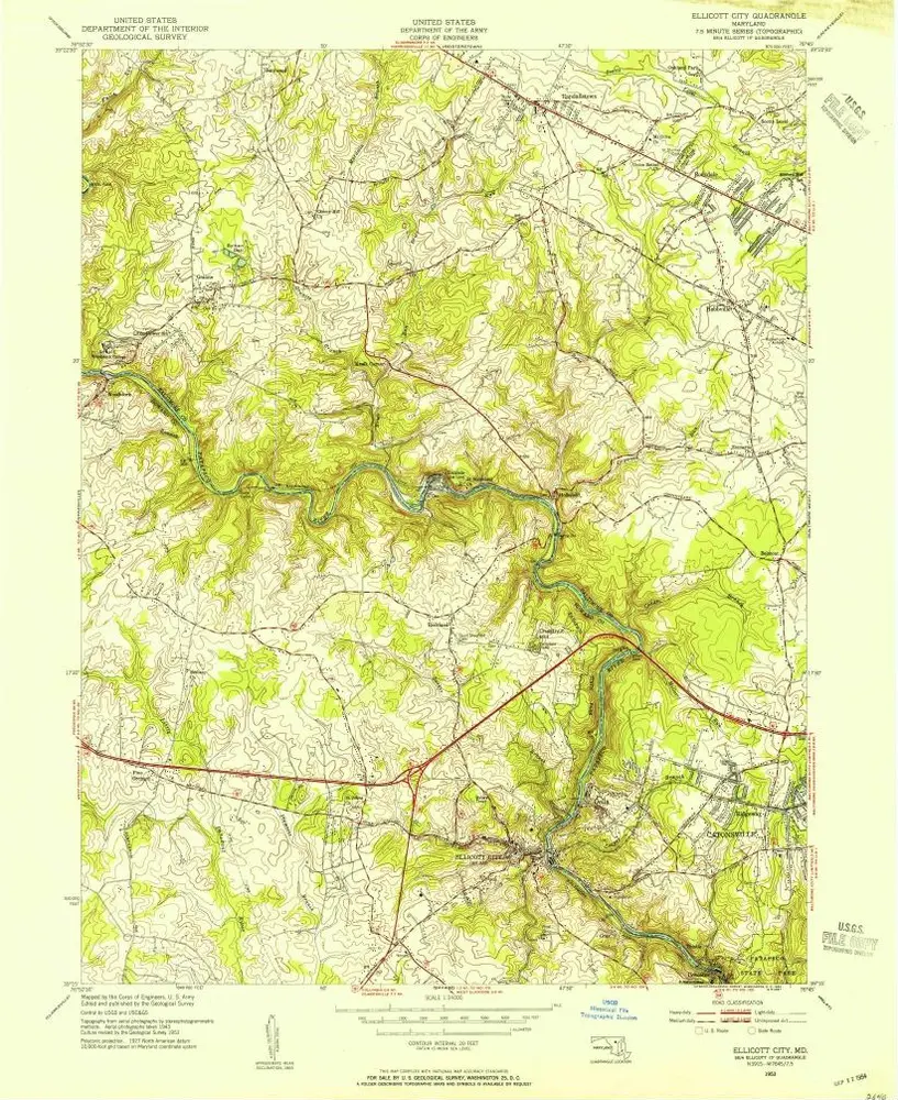
Ellicott City
1953
1:24k
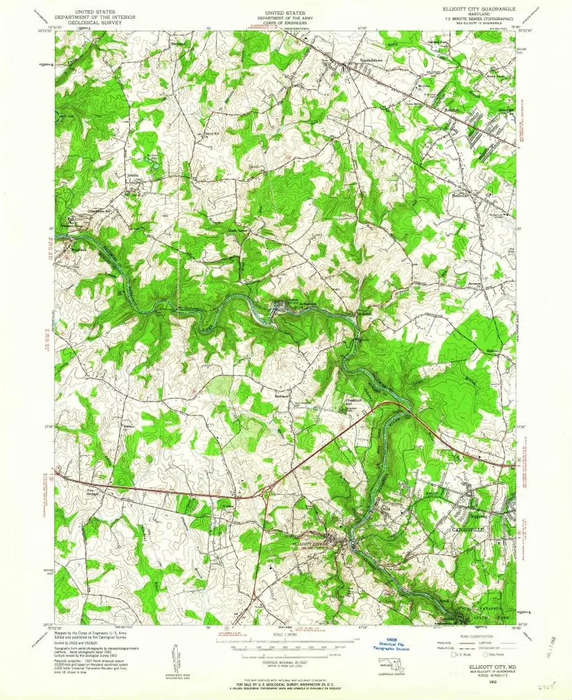
Ellicott City
1953
1:24k
Ellicott City
1953
1:24k
Ellicott City
1953
1:24k
Ellicott City
1953
1:24k
Ellicott City
1944
1:32k
Geschichte