Projekt
Wspólnota
Aktualności
Moja aplikacja
Moje mapy
Cataloged map
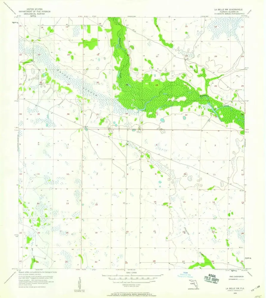
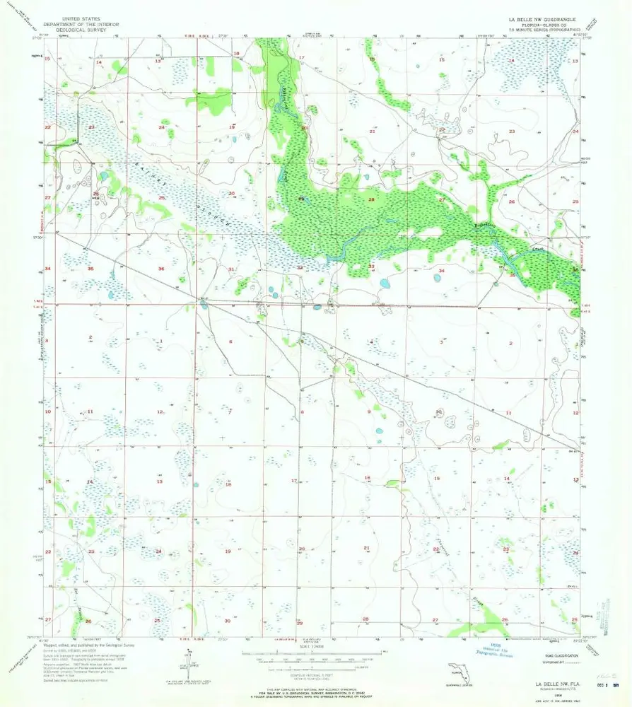
La Belle NW
Wyświetlanie na zewnętrznej stronie internetowej
Zobacz zdigitalizowane
Institution:
United States Geological Survey
Full title:
La Belle NW
Depicted:
1958
Pubdate:
1959
Map scale:
1:24 000
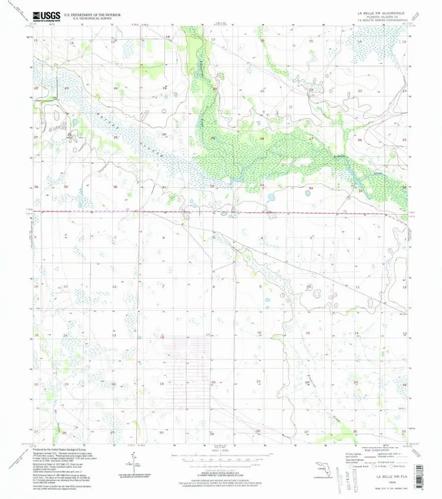
La Belle NW
1994
1:24k
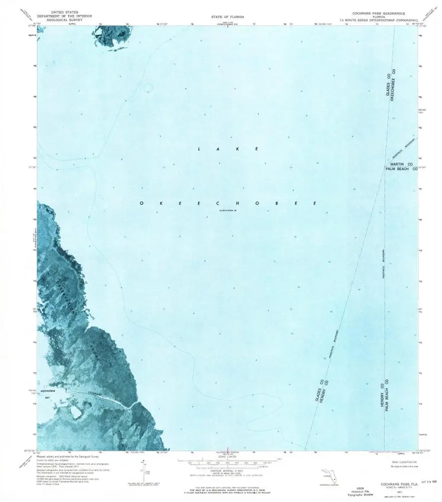
Cochrans Pass
1971
1:24k
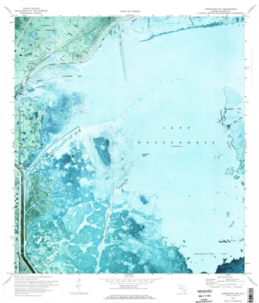
Fisheating Bay
1971
1:24k
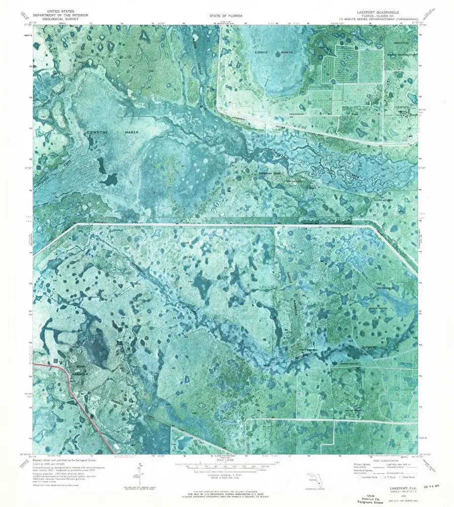
Lakeport
1970
1:24k
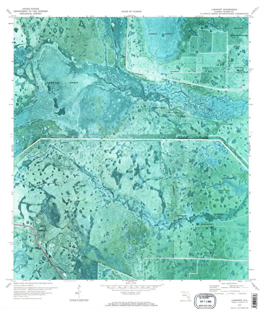
Lakeport
1970
1:24k
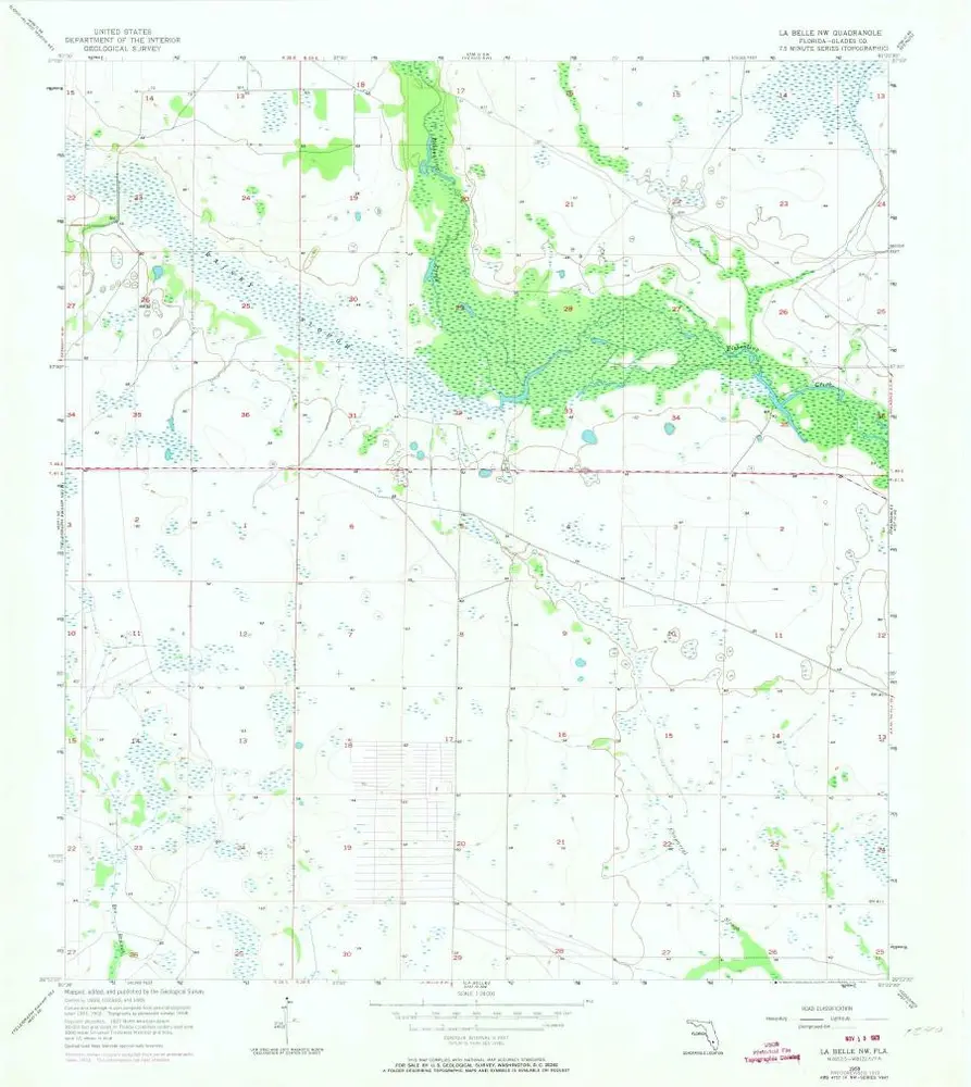
La Belle NW
1958
1:24k
La Belle NW
1958
1:24k
La Belle NW
1958
1:24k
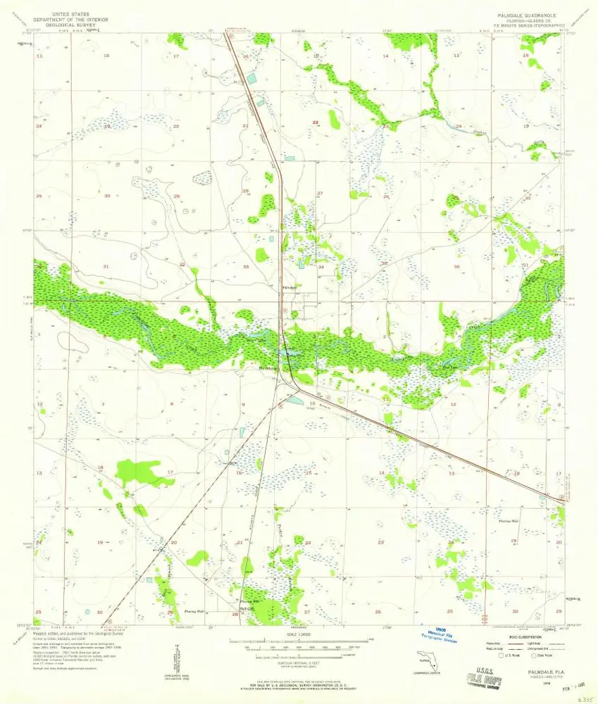
Palmdale
1958
1:24k
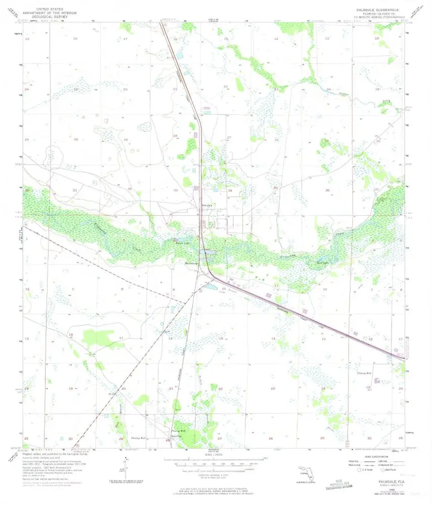
Palmdale
1958
1:24k
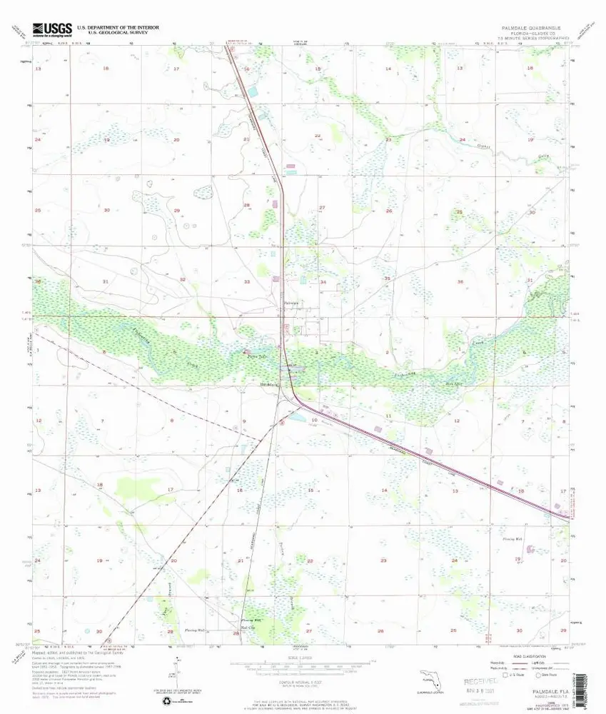
Palmdale
1958
1:24k
History