Mapa catalogado
San Antonio Bay

Institución:United States Geological Survey
Título completo:San Antonio Bay
Año de ilustración:1983
Fecha de publicación:1983
Escala del mapa:1:100 000
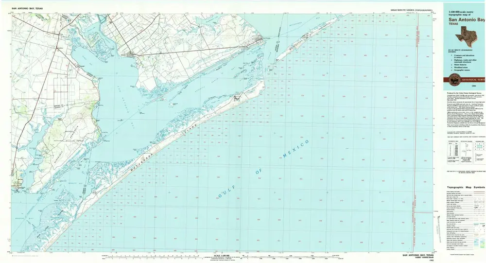
San Antonio Bay
1983
1:100k
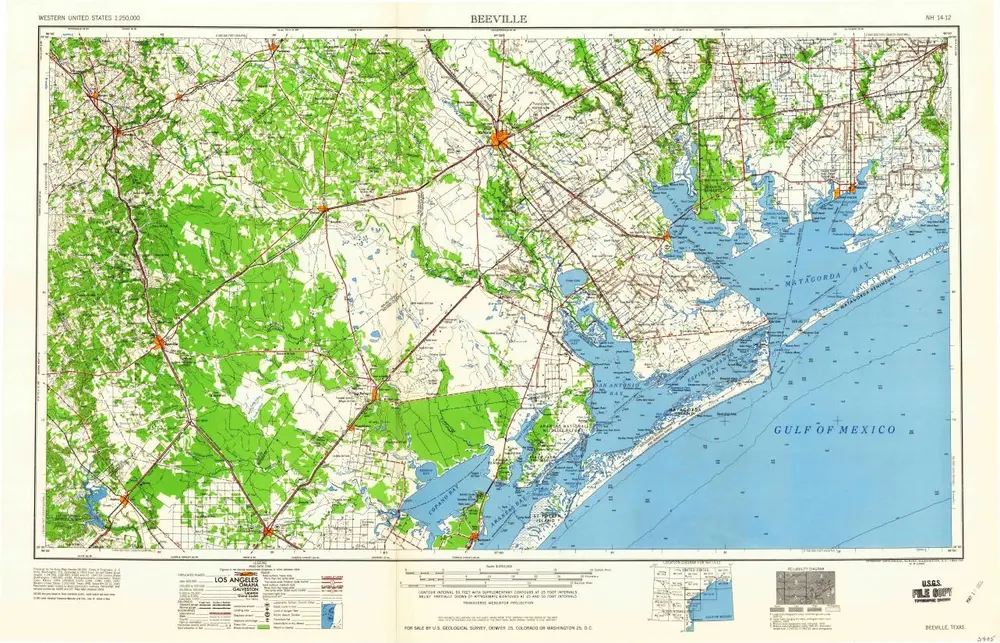
Beeville
1960
1:250k
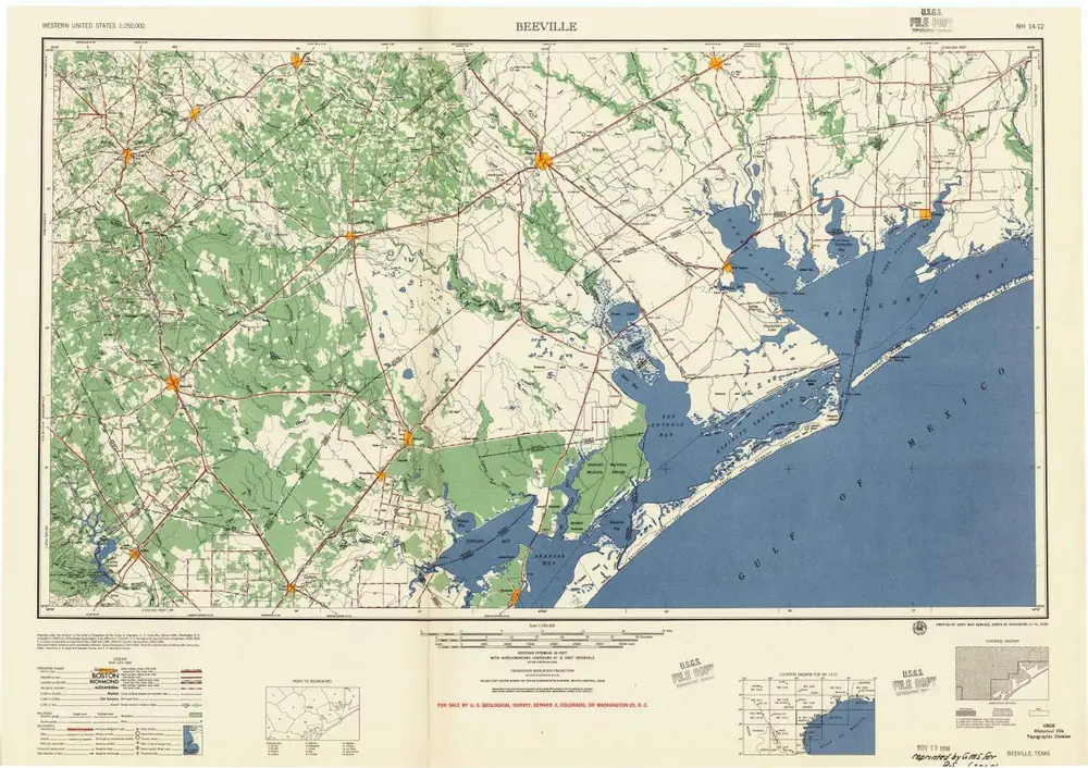
Beeville
1956
1:250k

Beeville
1956
1:250k
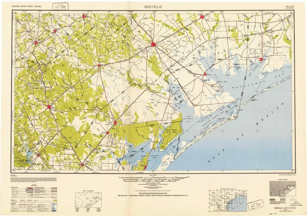
Beeville
1953
1:250k
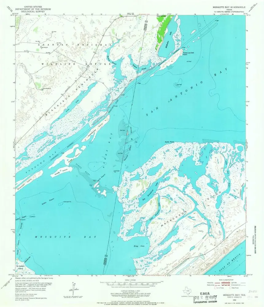
Mesquite Bay
1952
1:24k
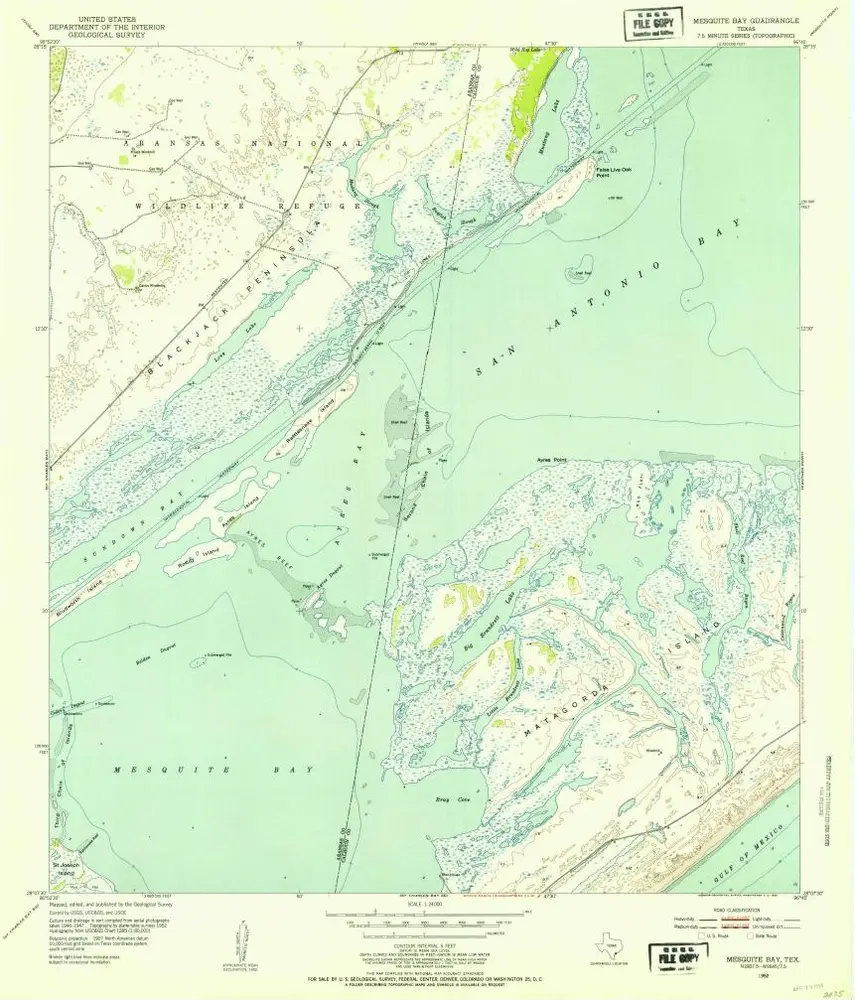
Mesquite Bay
1952
1:24k
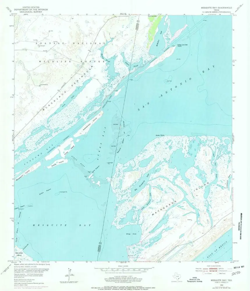
Mesquite Bay
1952
1:24k
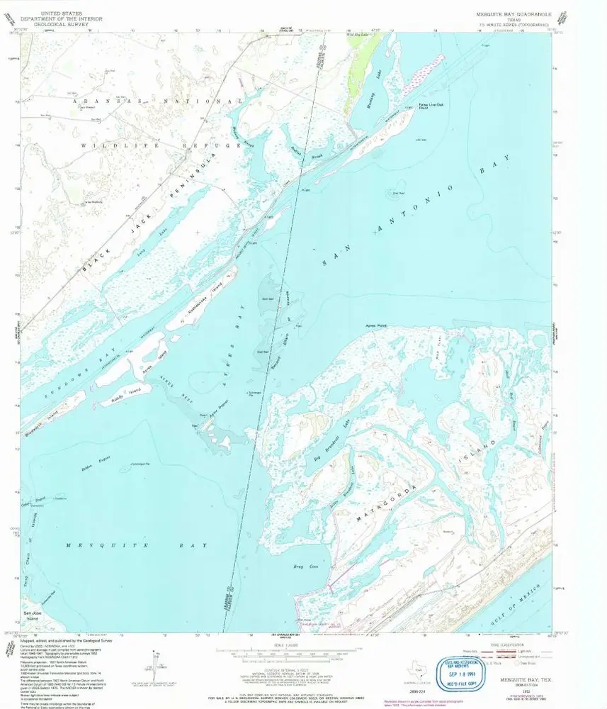
Mesquite Bay
1952
1:24k
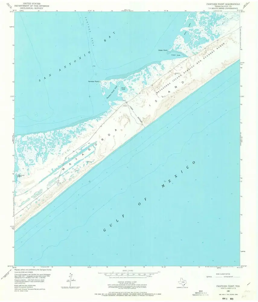
Panther Point
1952
1:24k
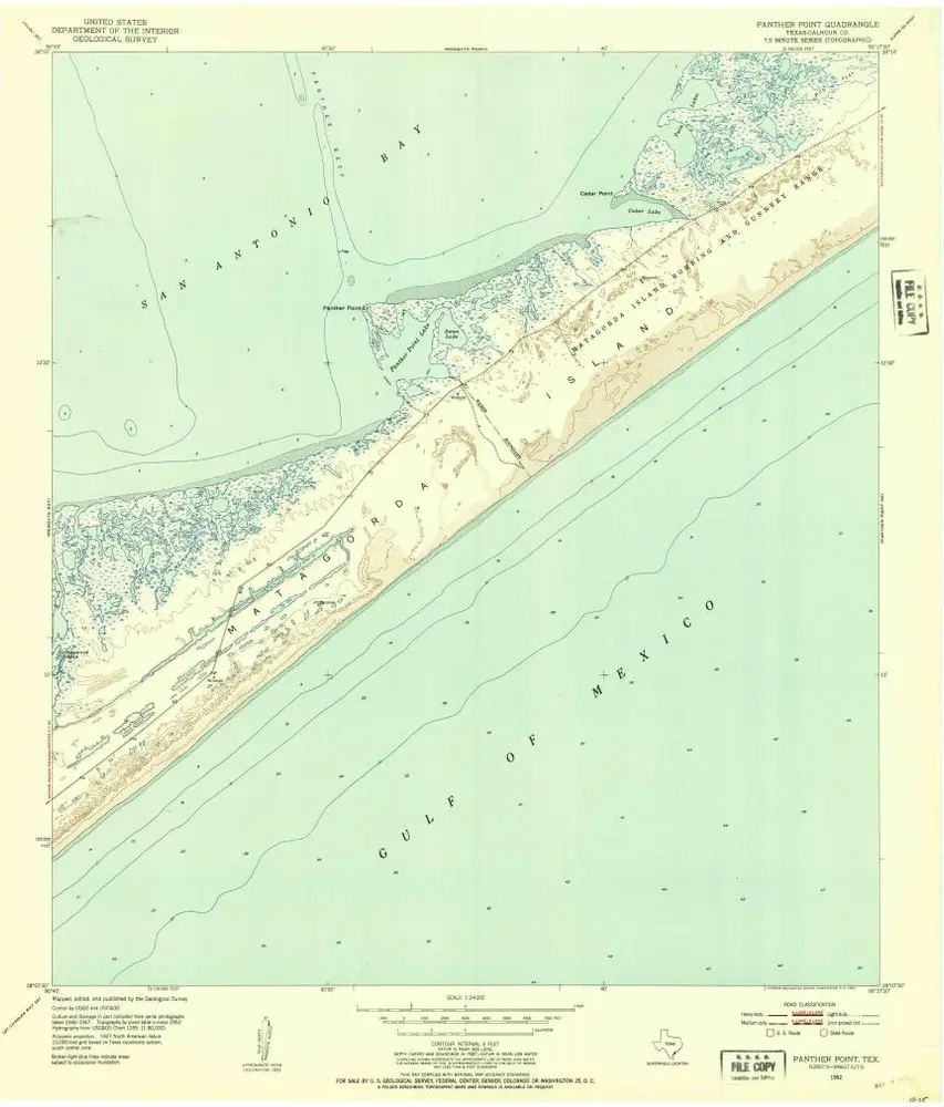
Panther Point
1952
1:24k
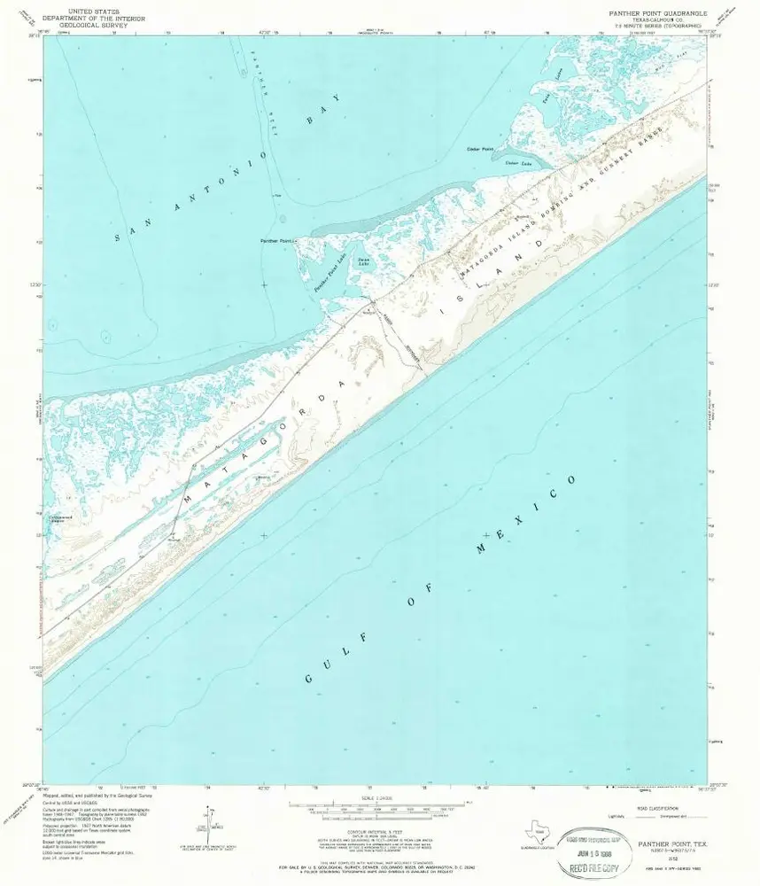
Panther Point
1952
1:24k
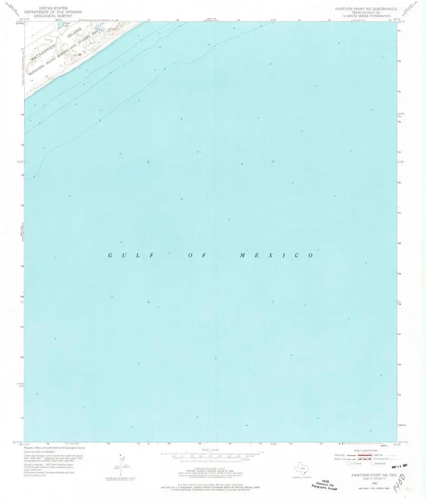
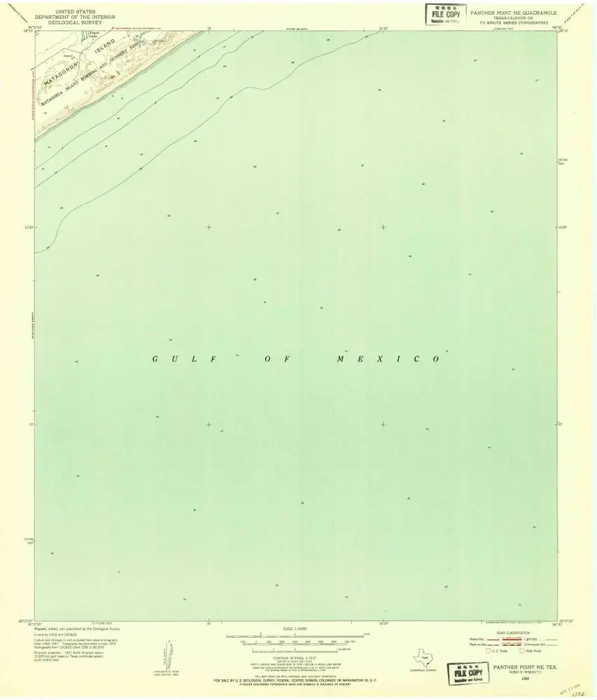
Panther Point NE
1952
1:24k
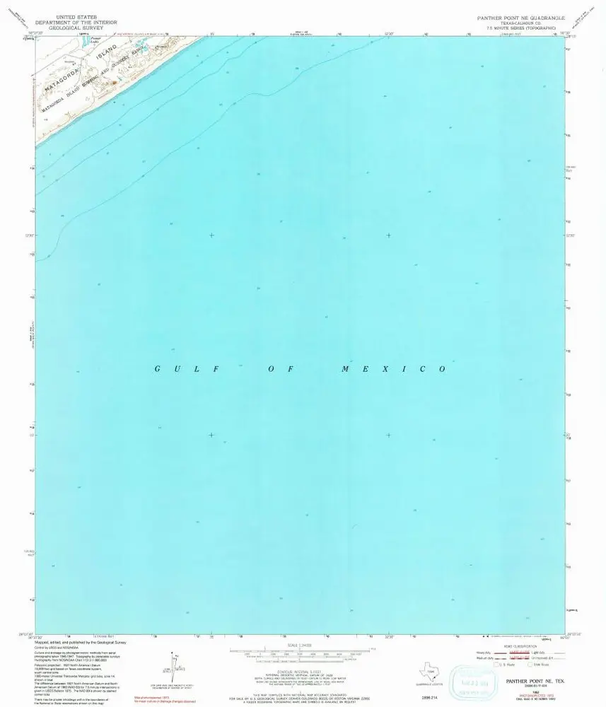
Panther Point NE
1952
1:24k
Panther Point NE
1952
1:24k