Projekt
Wspólnota
Aktualności
Moja aplikacja
Moje mapy
Katalogisierte Karte
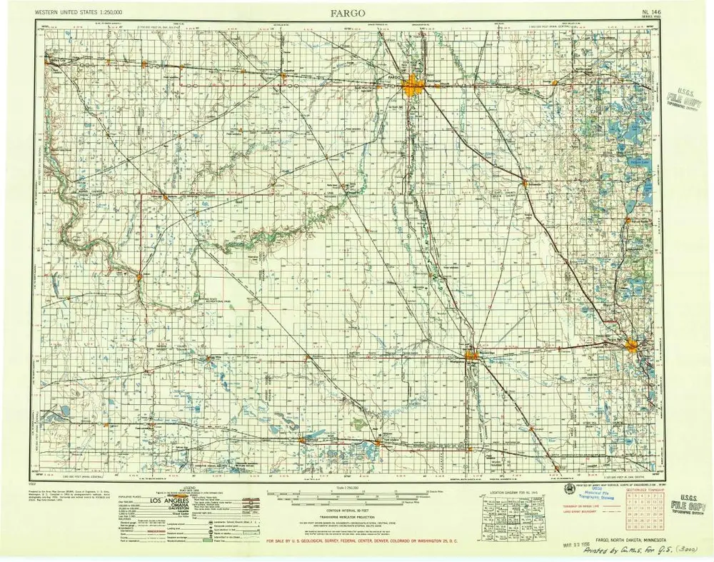
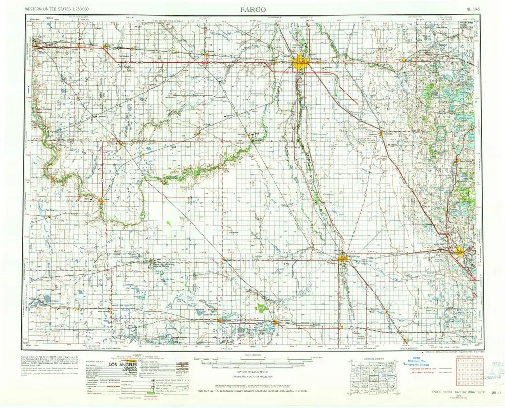
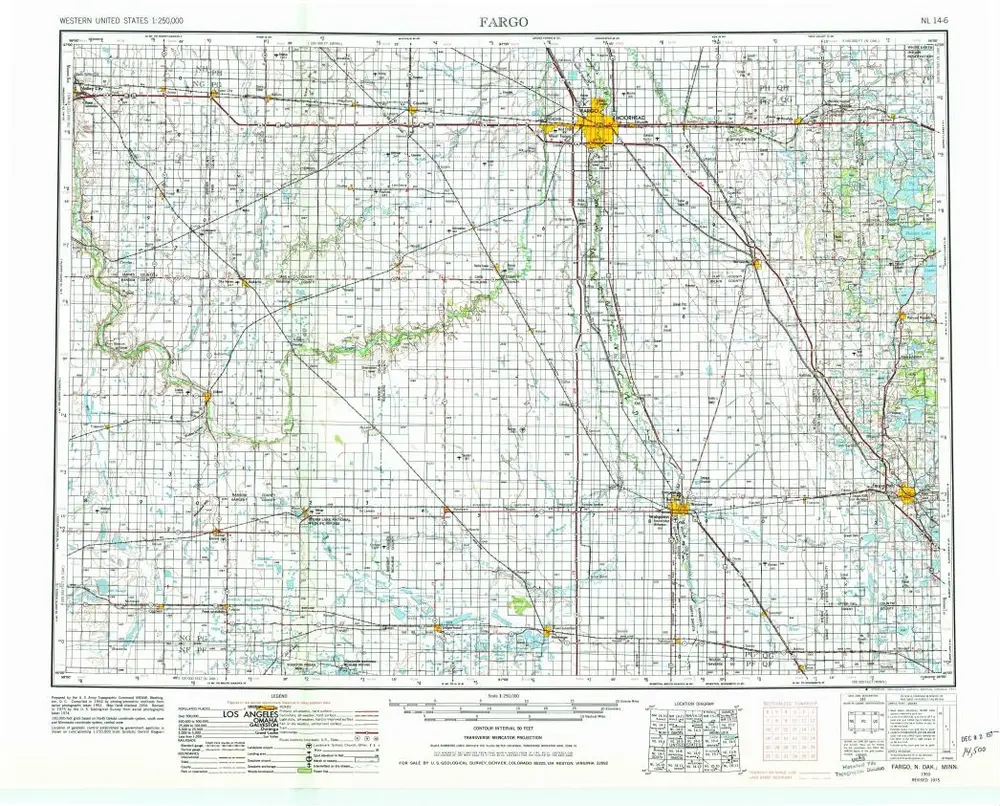
Fargo
Wyświetlanie na zewnętrznej stronie internetowej
Zobacz zdigitalizowane
Einrichtung:
United States Geological Survey
Vollständiger Titel:
Fargo
Jahr der Abbildung:
1956
Veröffentlichungsdatum:
1956
Maßstab der Karte:
1:250 000
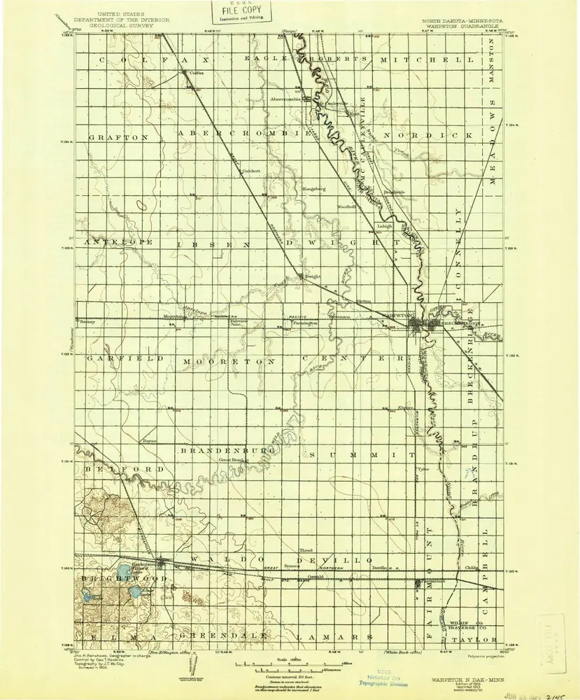
Wahpeton
1904
1:125k
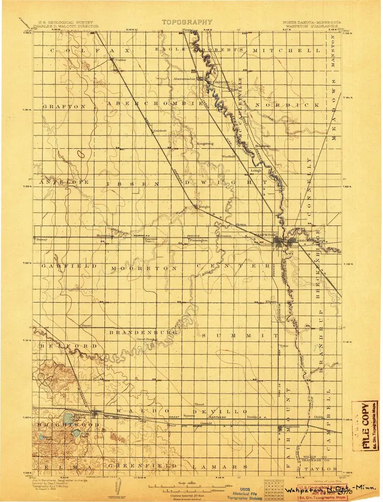
Wahpeton
1904
1:125k
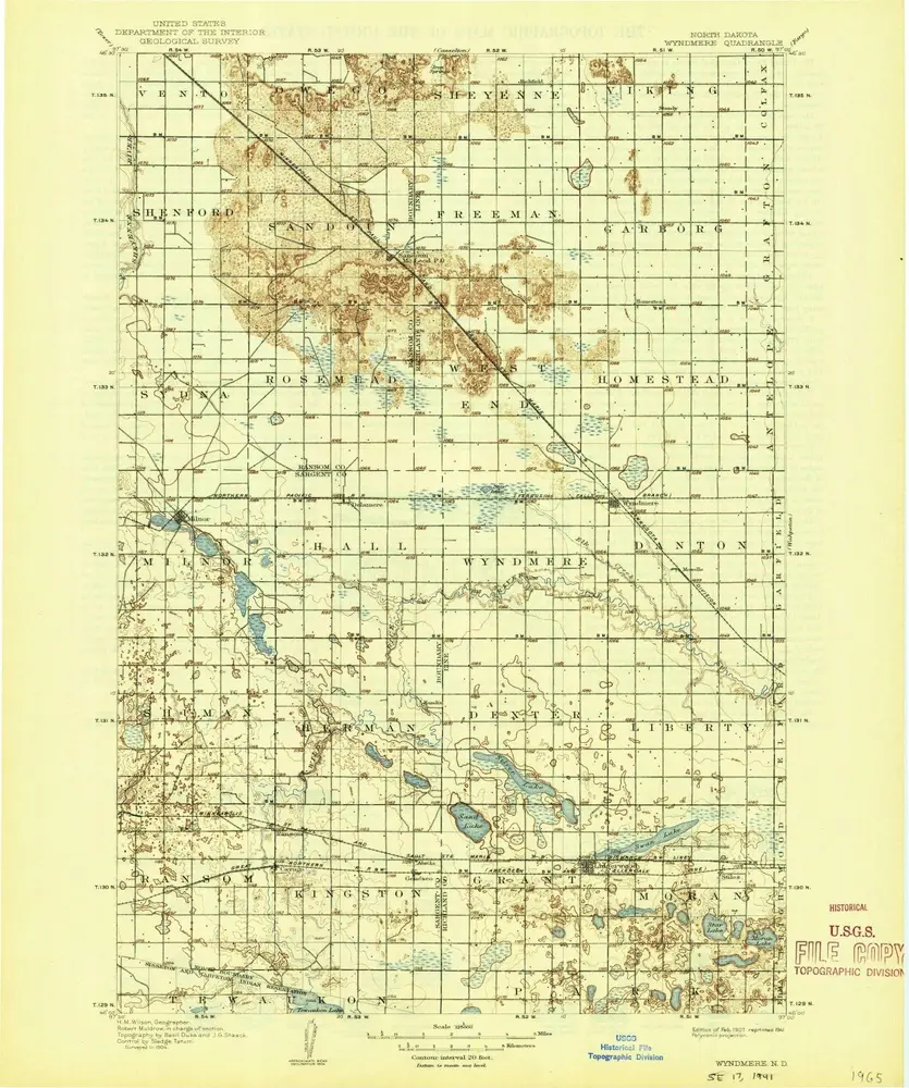
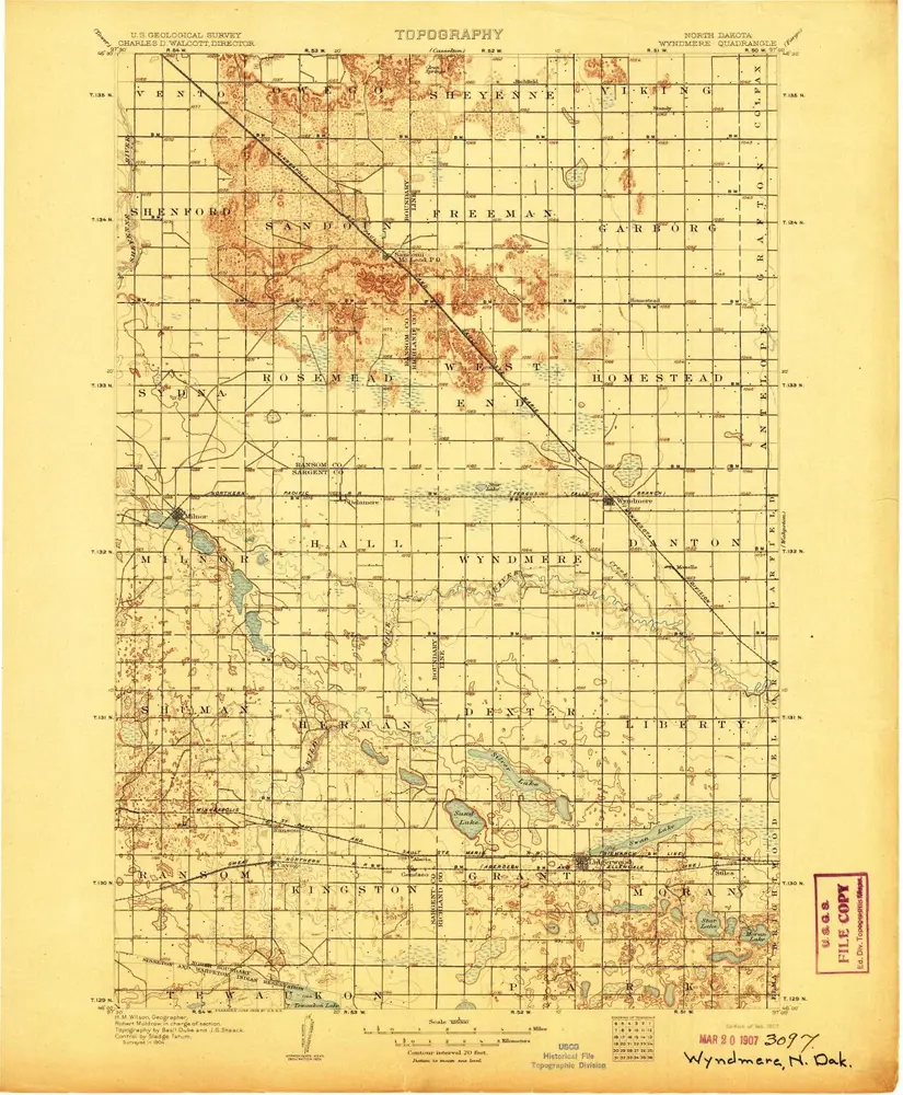
Wyndmere
1907
1:125k
Wyndmere
1907
1:125k
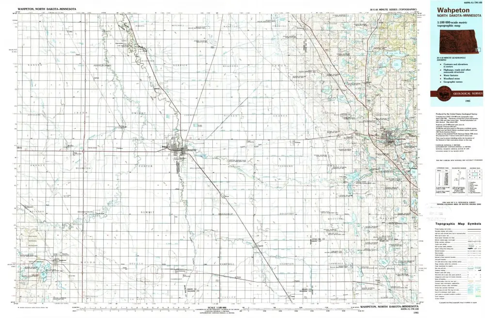
Wahpeton
1985
1:100k
Wahpeton
1985
1:100k
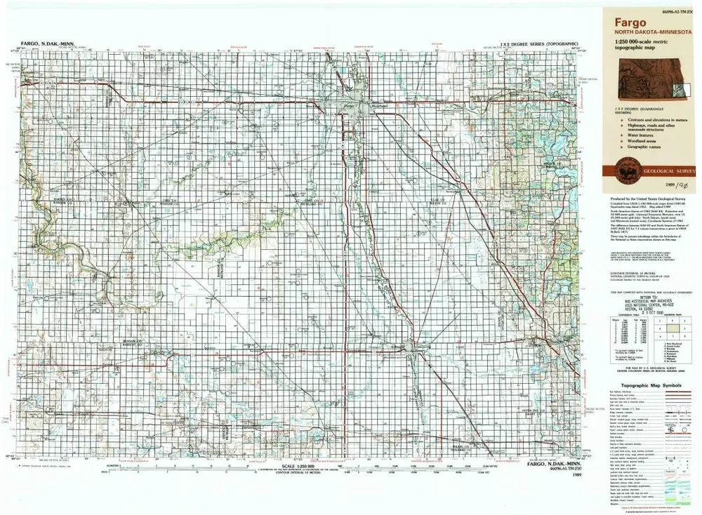
Fargo
1989
1:250k
Fargo
1956
1:250k
Fargo
1953
1:250k
Fargo
1953
1:250k
Geschichte