Mappa catalogata
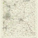
Coventry and Rugby - OS One-Inch Map

Istituzione:National Library of Scotland
Titolo completo:Coventry and Rugby - OS One-Inch Map
Anno di illustrazione:1959
Data di pubblicazione:1961
Editore:Ordnance Survey
Scala della mappa:1:63 360
n/a
1742
Coventry and Rugby - OS One-Inch Map
1959
Ordnance Survey
1:63k
Wigorniensis comitatus et comitatus Warwicensis; nec non Coventræ libertas
1646
Blaeu
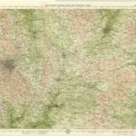
Birmingham, Leicester, Sheet 18 - Bartholomew's "Half Inch to the Mile Maps" of England & Wales
1903
Bartholomew, John George
1:127k

The counti of Warwick the shire towne and citie of Coventre described
1676
1:1

Coventry (Hills) - OS One-Inch Revised New Series
1897
Ordnance Survey
1:63k

Coventry (Outline) - OS One-Inch Revised New Series
1897
Ordnance Survey
1:63k

Warwick (Outline) - OS One-Inch Revised New Series
1897
Ordnance Survey
1:63k

Warwick (Hills) - OS One-Inch Revised New Series
1897
Ordnance Survey
1:63k

Banbury (Hills) - OS One-Inch Revised New Series
1893
Ordnance Survey
1:63k