Projekt
Wspólnota
Aktualności
Moja aplikacja
Moje mapy
Cataloged map
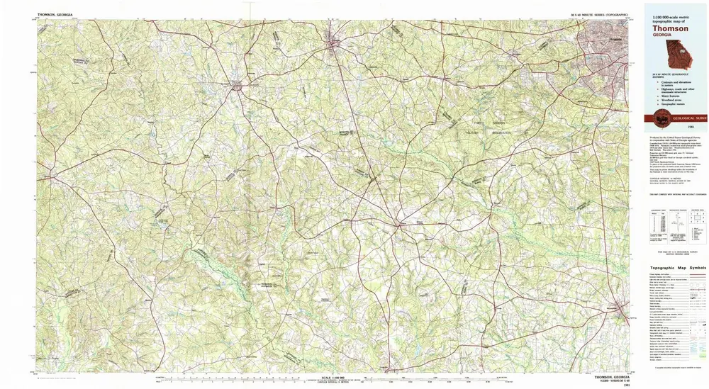
Thomson
Wyświetlanie na zewnętrznej stronie internetowej
Zobacz zdigitalizowane
Institution:
United States Geological Survey
Full title:
Thomson
Depicted:
1981
Pubdate:
1982
Map scale:
1:100 000
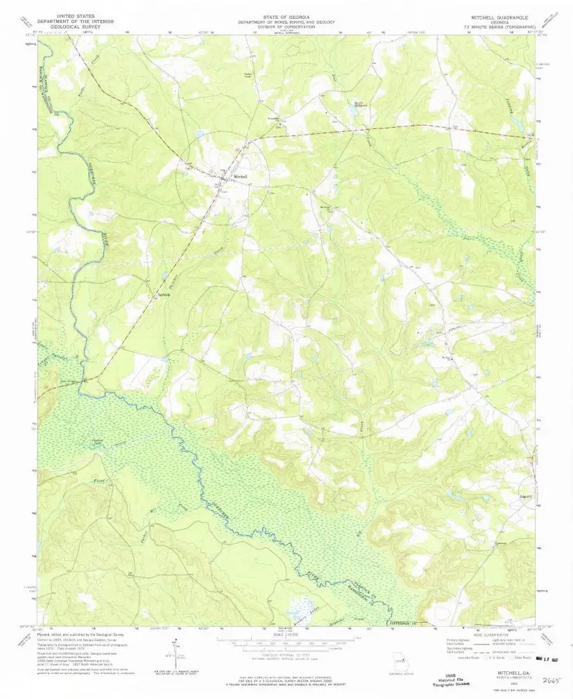
Mitchell
1972
1:24k
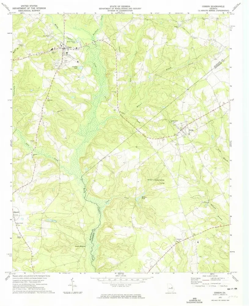
Gibson
1972
1:24k
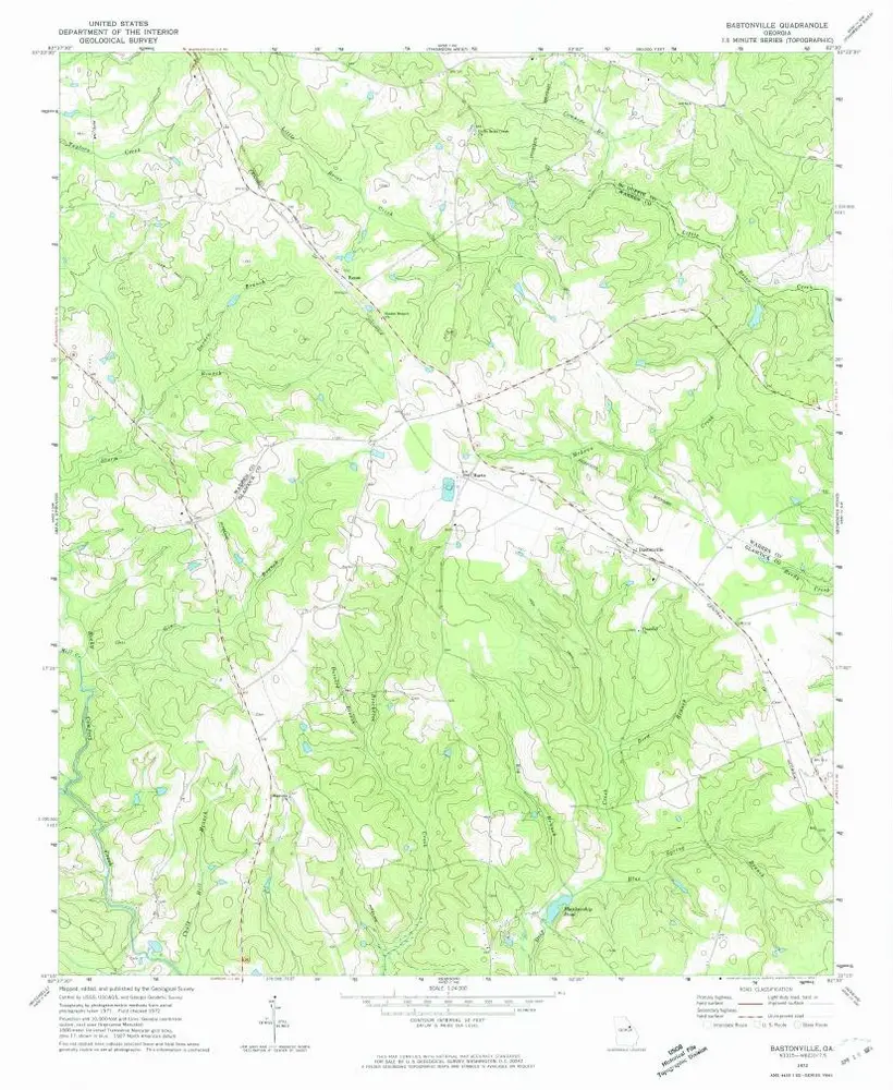
Bastonville
1972
1:24k
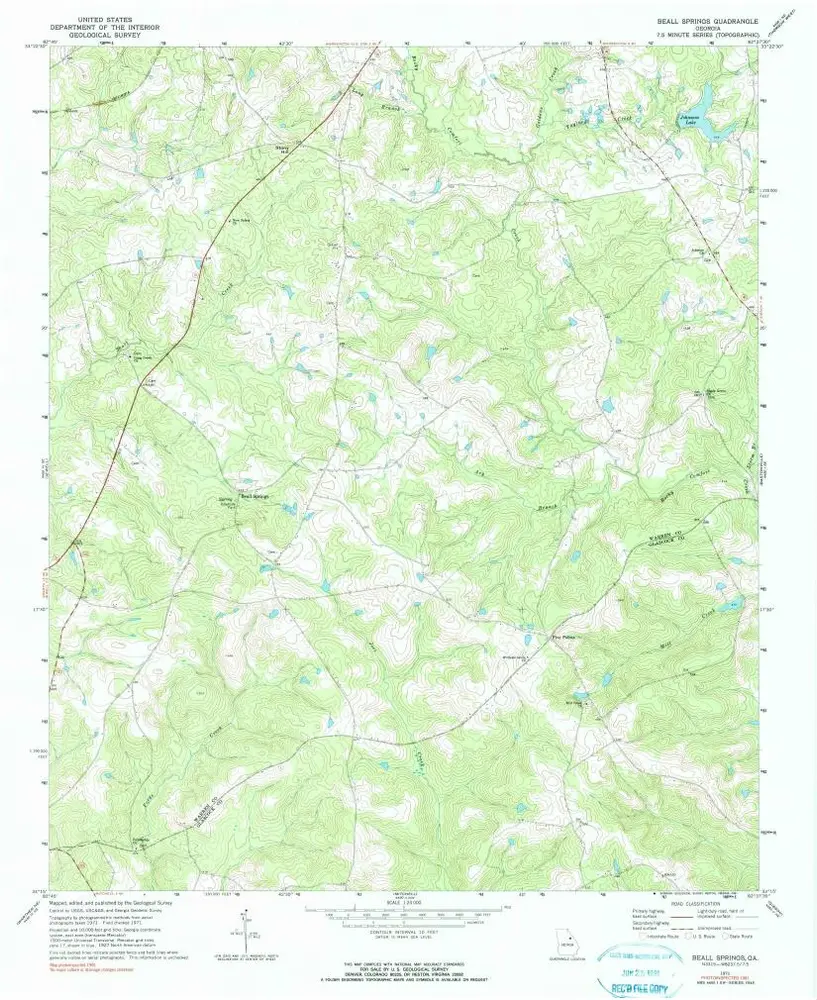
Beall Springs
1971
1:24k
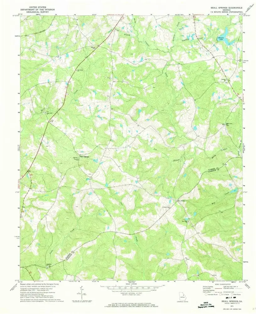
Beall Springs
1971
1:24k
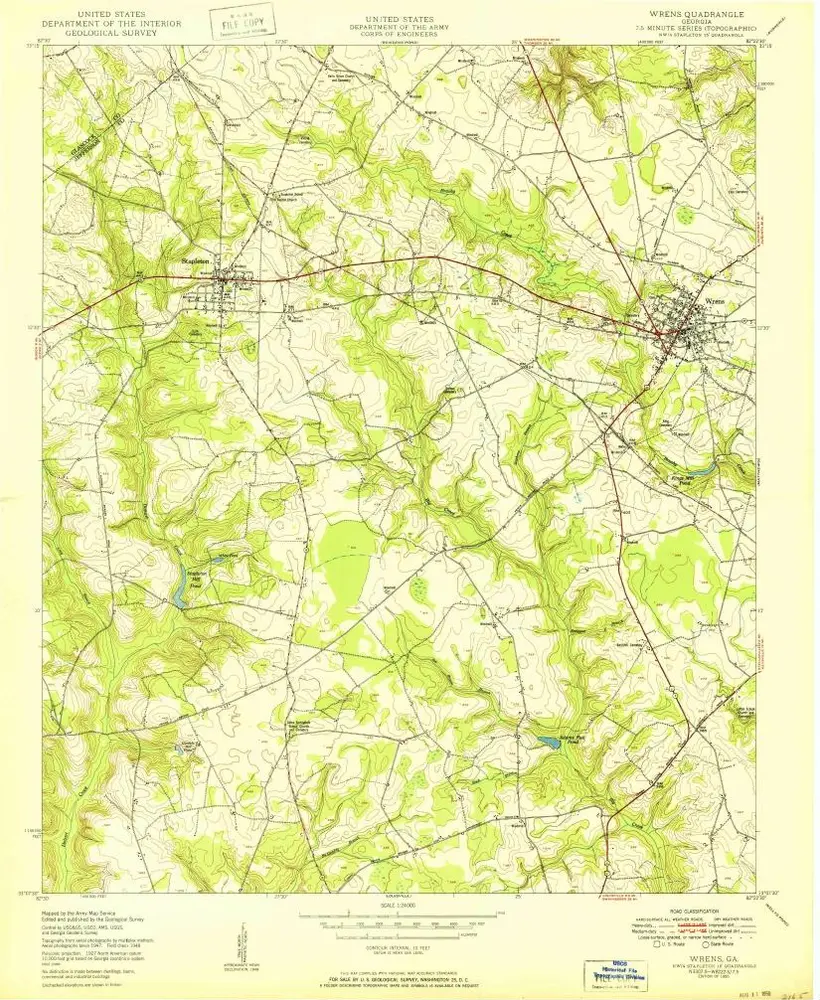
Wrens
1950
1:24k
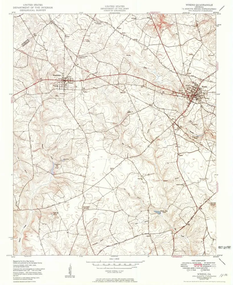
Wrens
1950
1:24k
Thomson
1981
1:100k
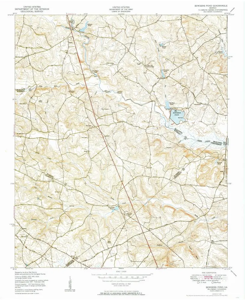
Bowdens Pond
1950
1:24k
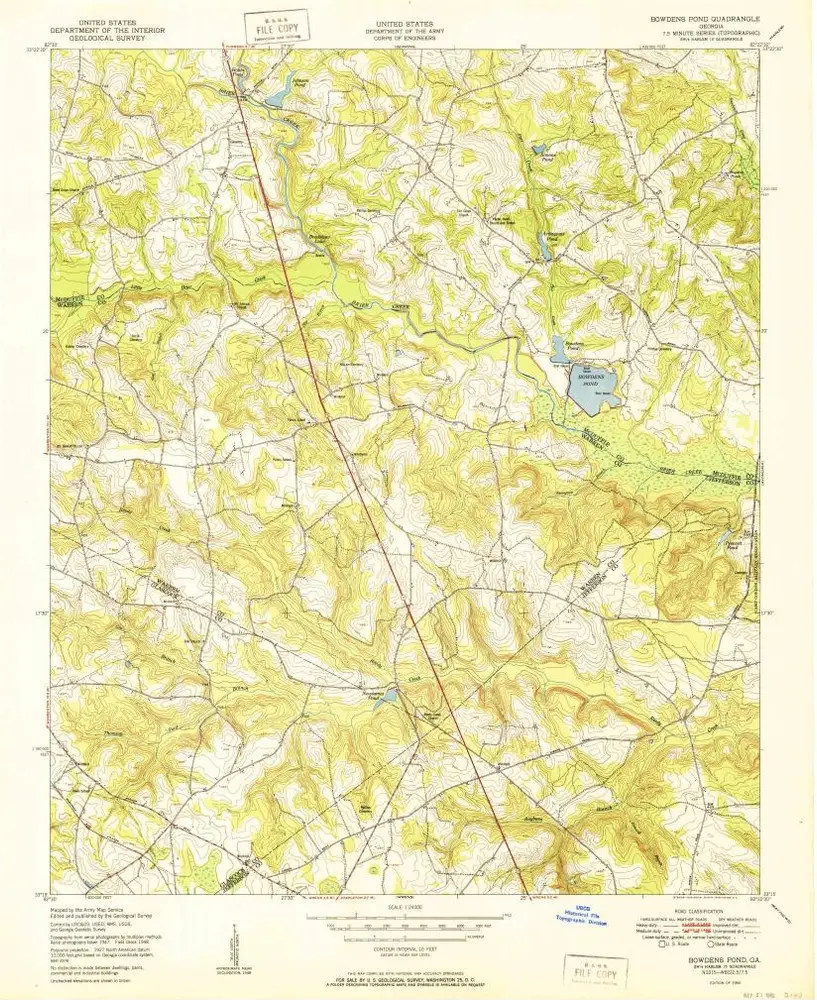
Bowdens Pond
1950
1:24k
History