Katalogisierte Karte
South of Palacios Point

Einrichtung:United States Geological Survey
Vollständiger Titel:South of Palacios Point
Jahr der Abbildung:1952
Veröffentlichungsdatum:1991
Maßstab der Karte:1:24 000
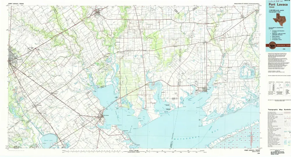
Port Lavaca
1984
1:100k
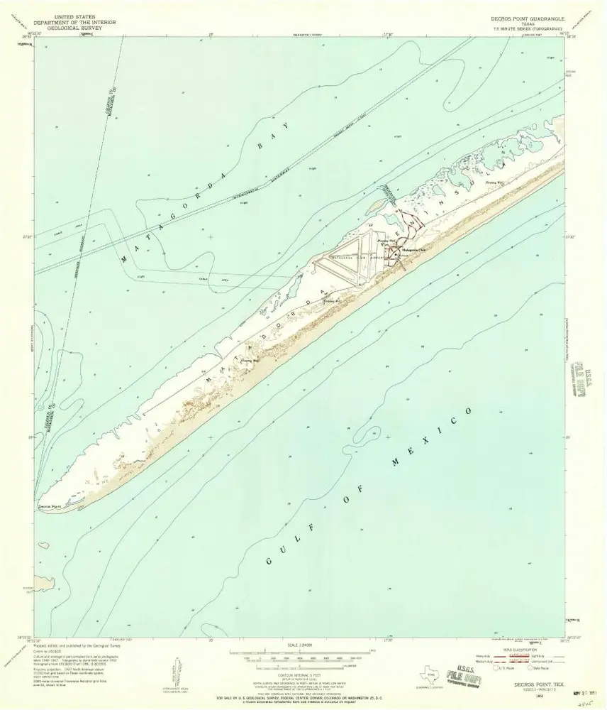
Decros Point
1952
1:24k
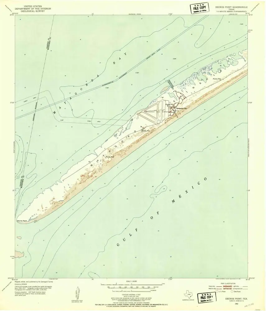
Decros Point
1952
1:24k
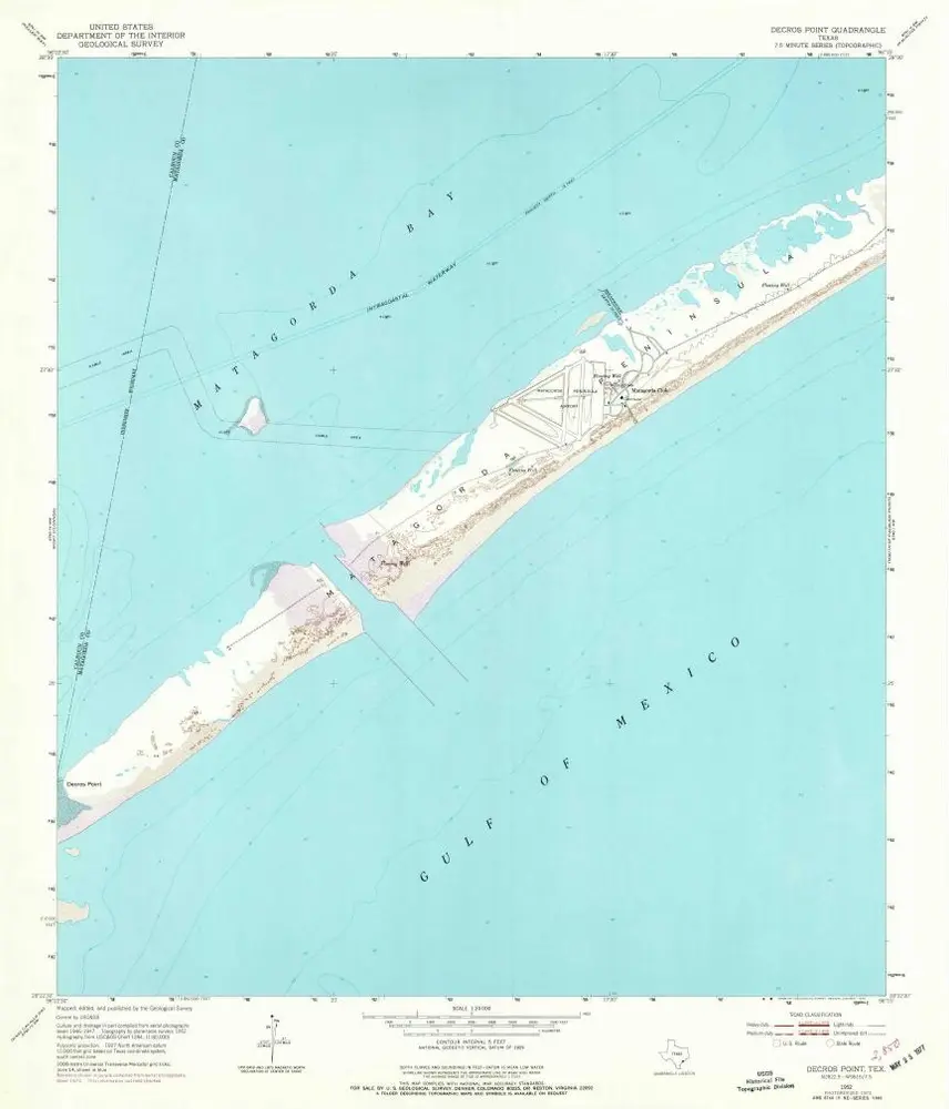
Decros Point
1952
1:24k
South of Palacios Point
1952
1:24k
South of Palacios Point
1952
1:24k
Carancahua Pass
1980
1:24k
Palacios Point
1952
1:24k
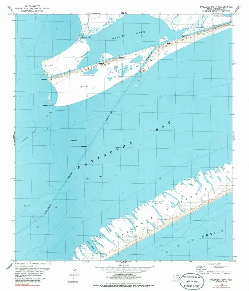
Palacios Point
1952
1:24k
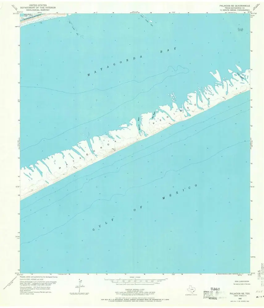
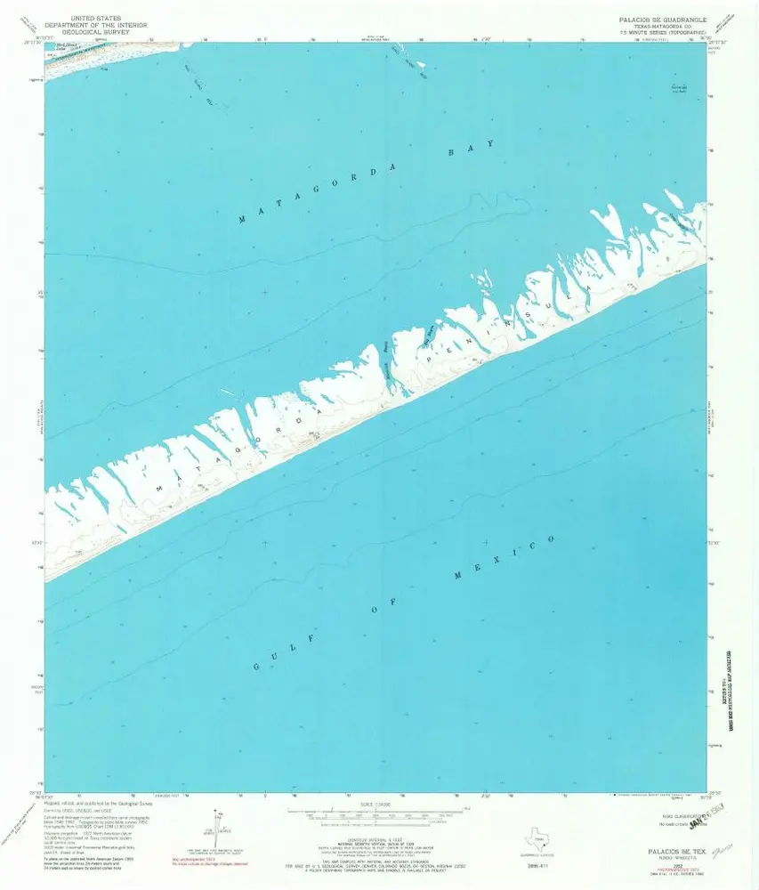
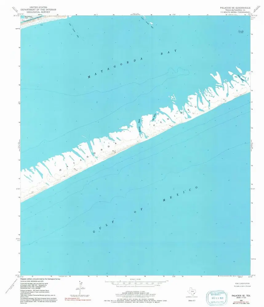
Palacios SE
1952
1:24k
Palacios SE
1952
1:24k
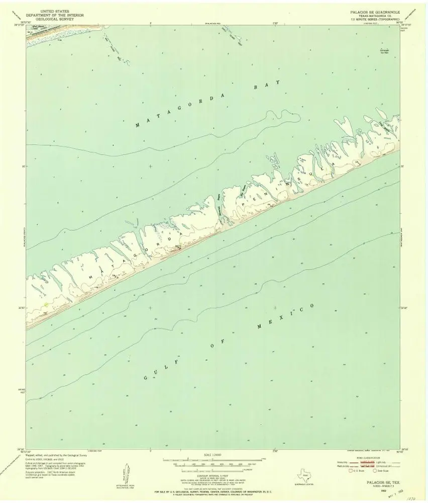
Palacios SE
1952
1:24k
Palacios SE
1952
1:24k
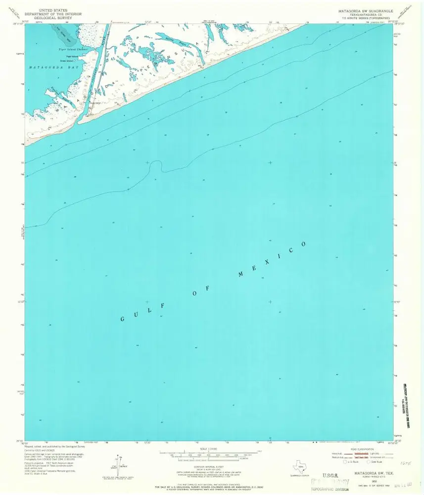
Matagorda SW
1952
1:24k
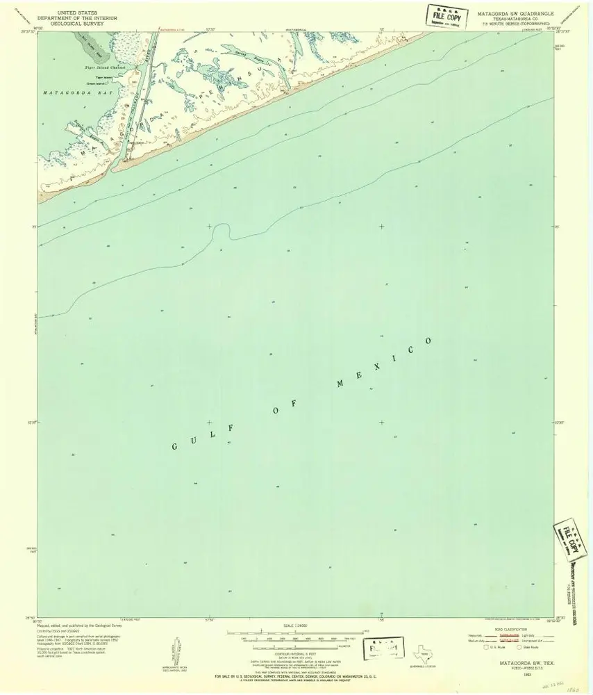
Matagorda SW
1952
1:24k