Projekt
Wspólnota
Aktualności
Moja aplikacja
Moje mapy
Katalogisierte Karte
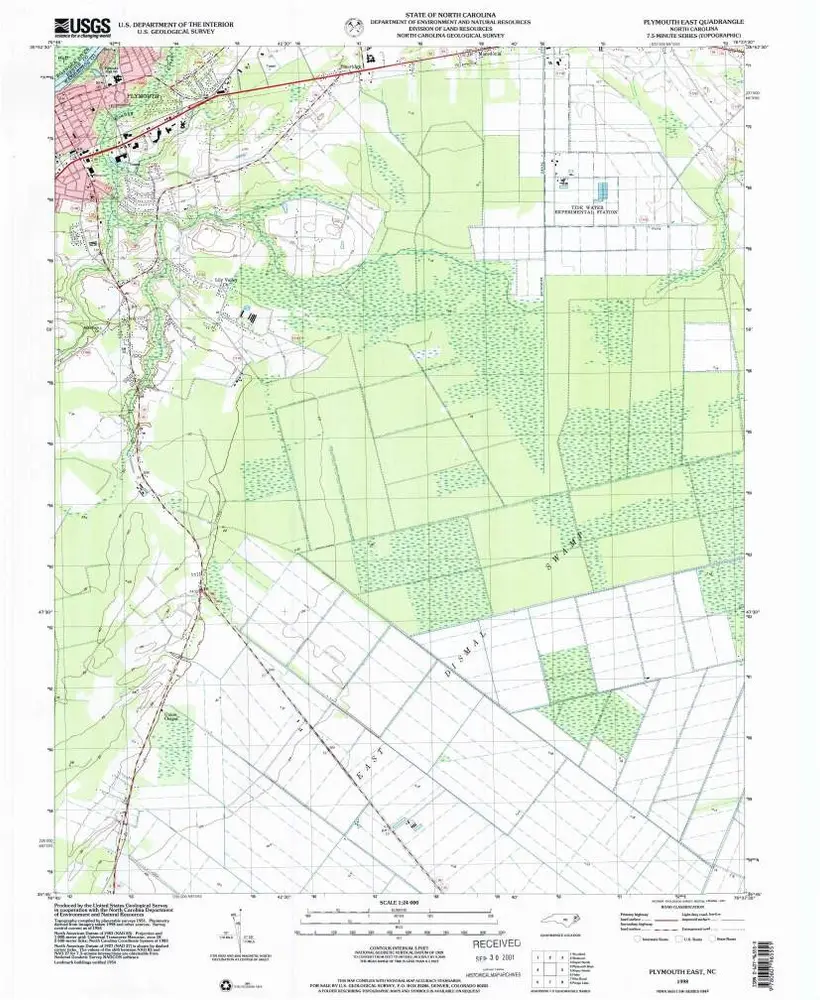
Plymouth East
Wyświetlanie na zewnętrznej stronie internetowej
Zobacz zdigitalizowane
Einrichtung:
United States Geological Survey
Vollständiger Titel:
Plymouth East
Jahr der Abbildung:
1998
Veröffentlichungsdatum:
2001
Maßstab der Karte:
1:24 000
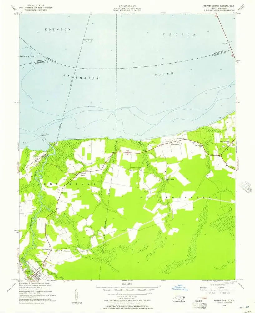
Roper North
1954
1:24k
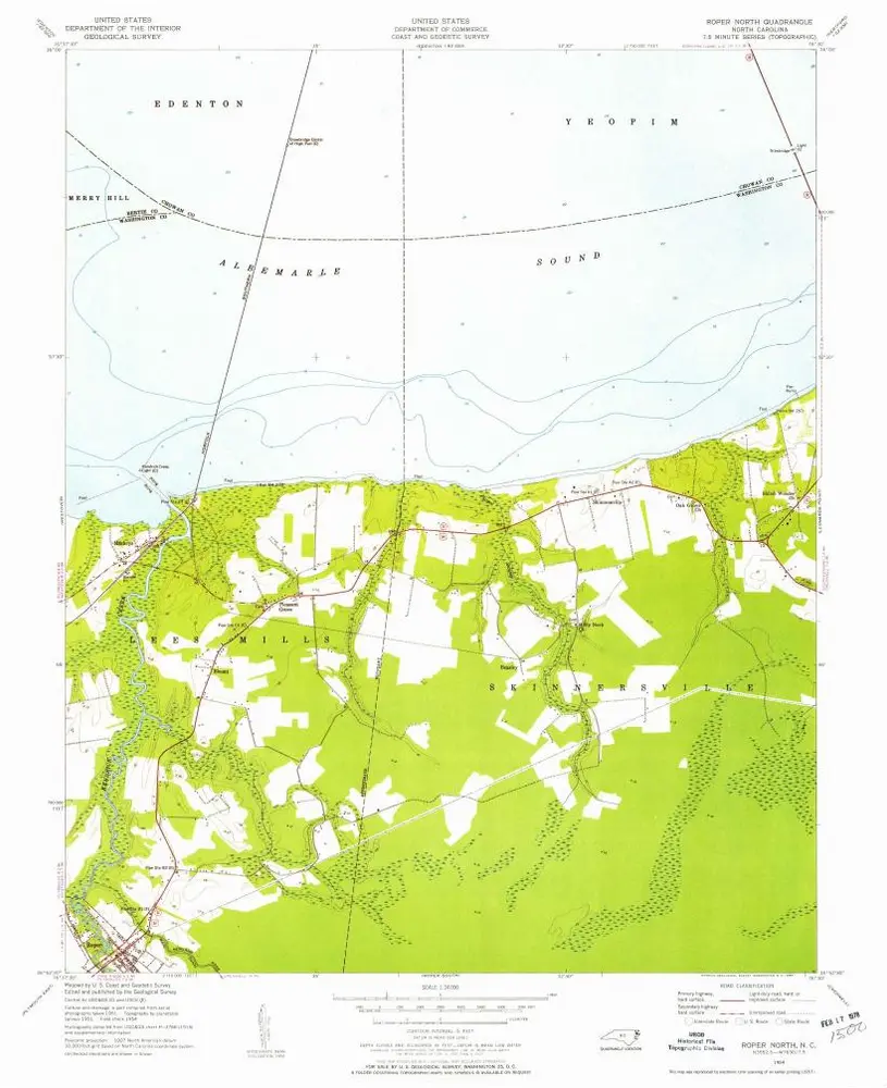
Roper North
1954
1:24k
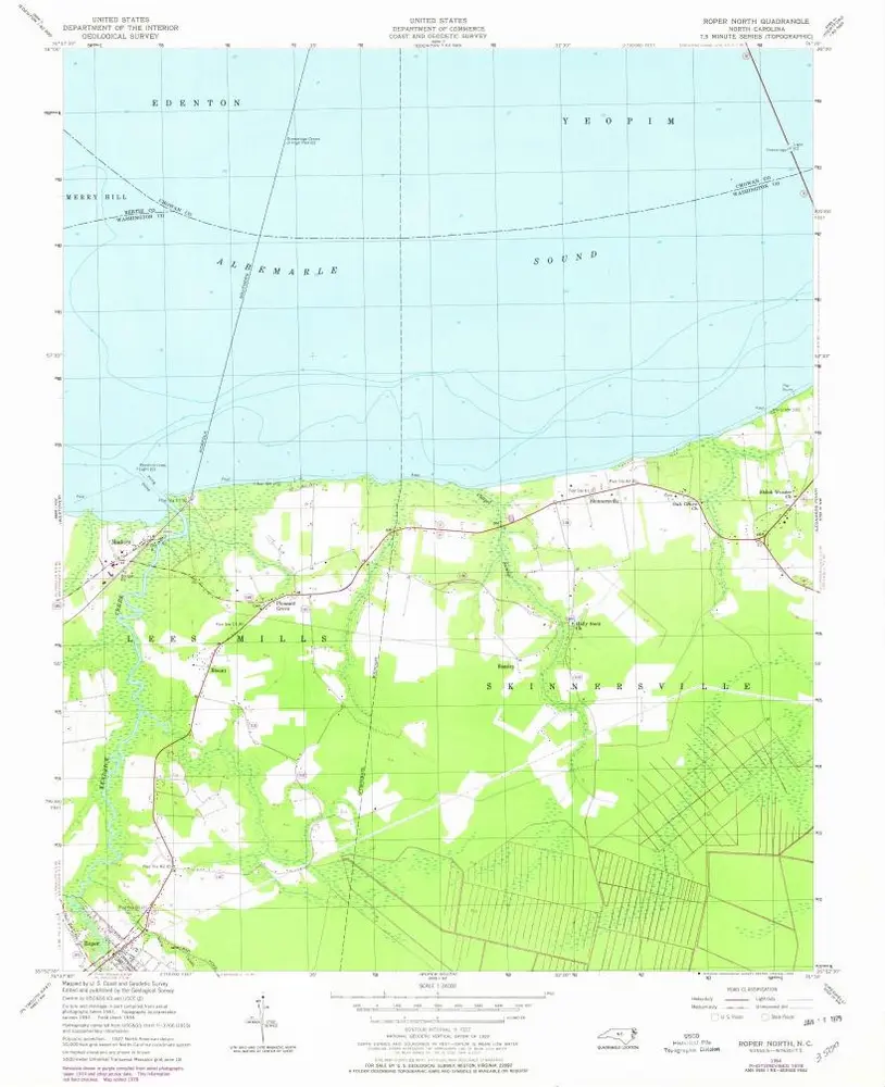
Roper North
1954
1:24k
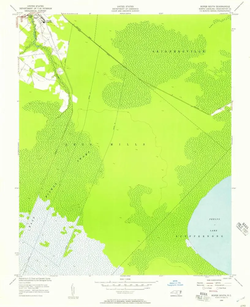
Roper South
1954
1:24k
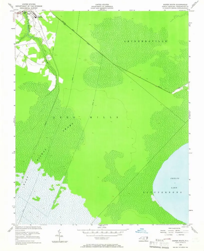
Roper South
1954
1:24k
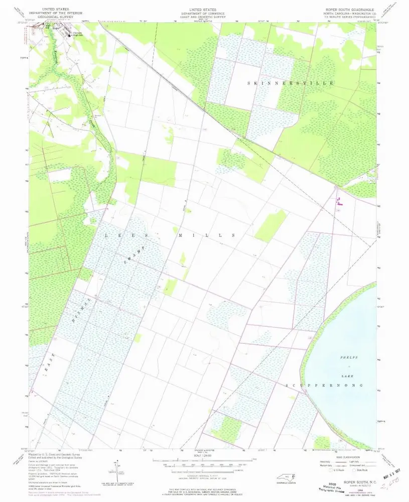
Roper South
1954
1:24k
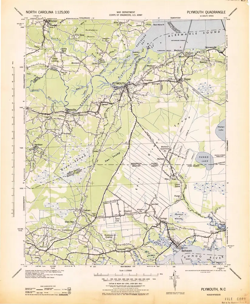
Plymouth
1943
1:125k
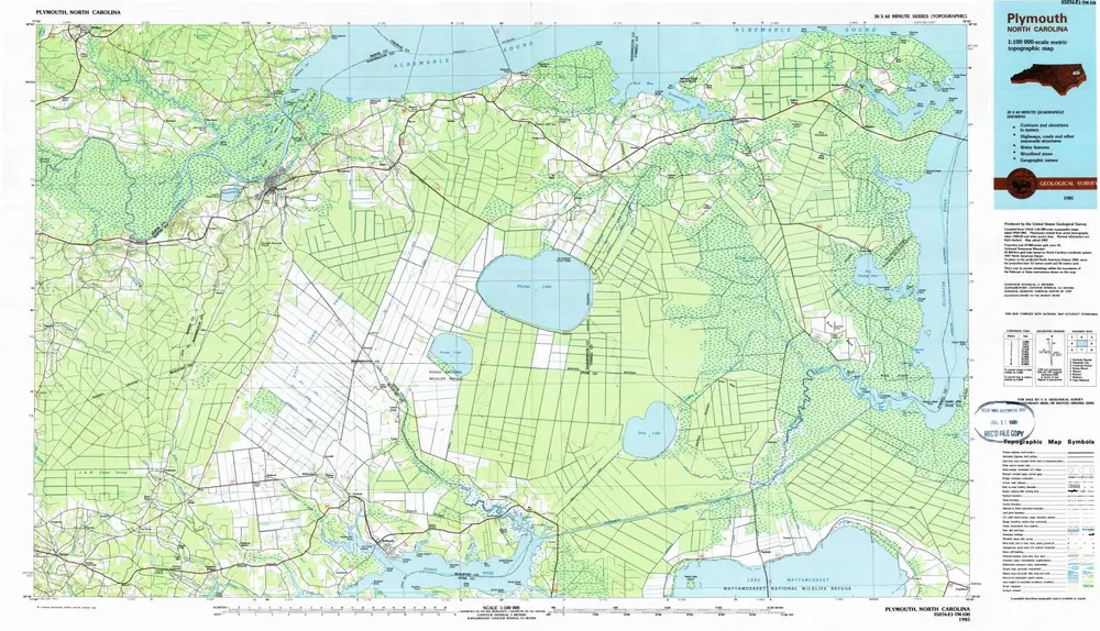
Plymouth
1985
1:100k
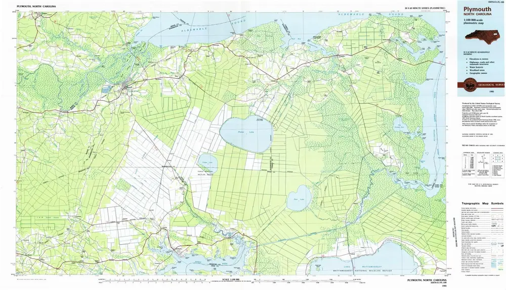
Plymouth
1985
1:100k
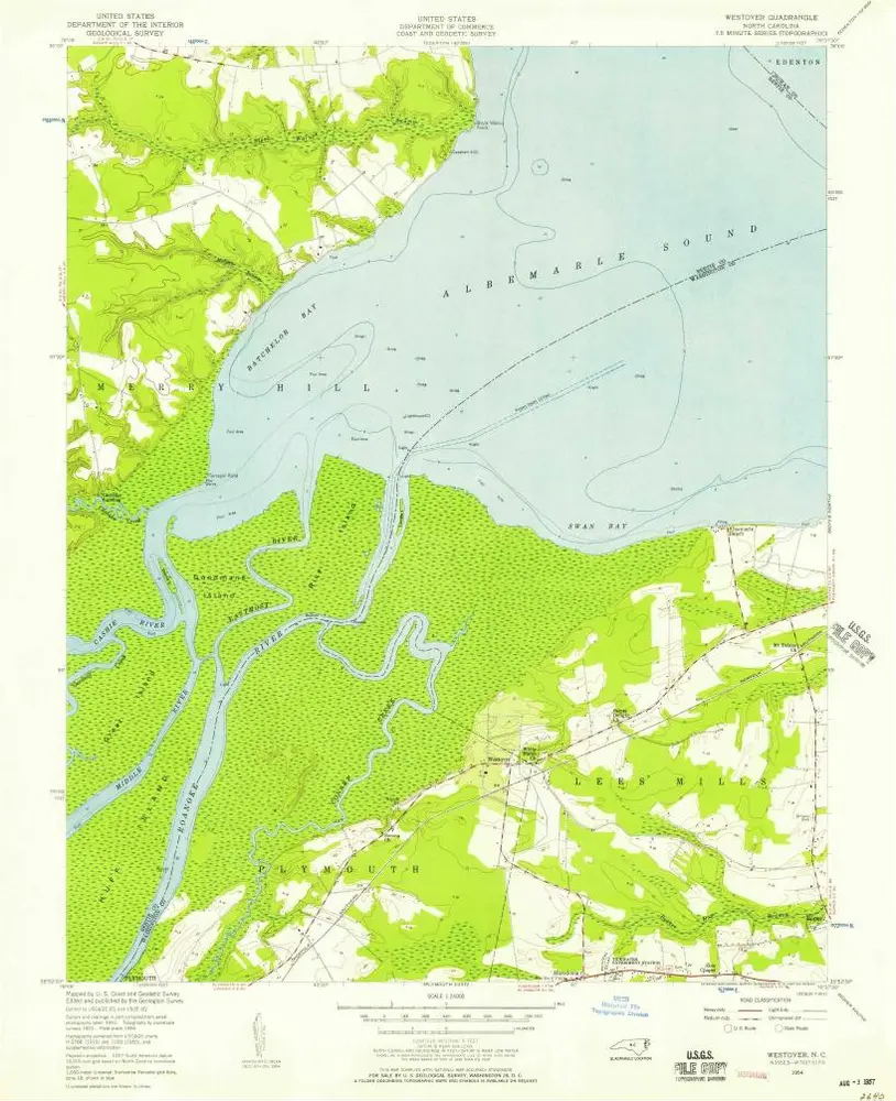
Westover
1954
1:24k
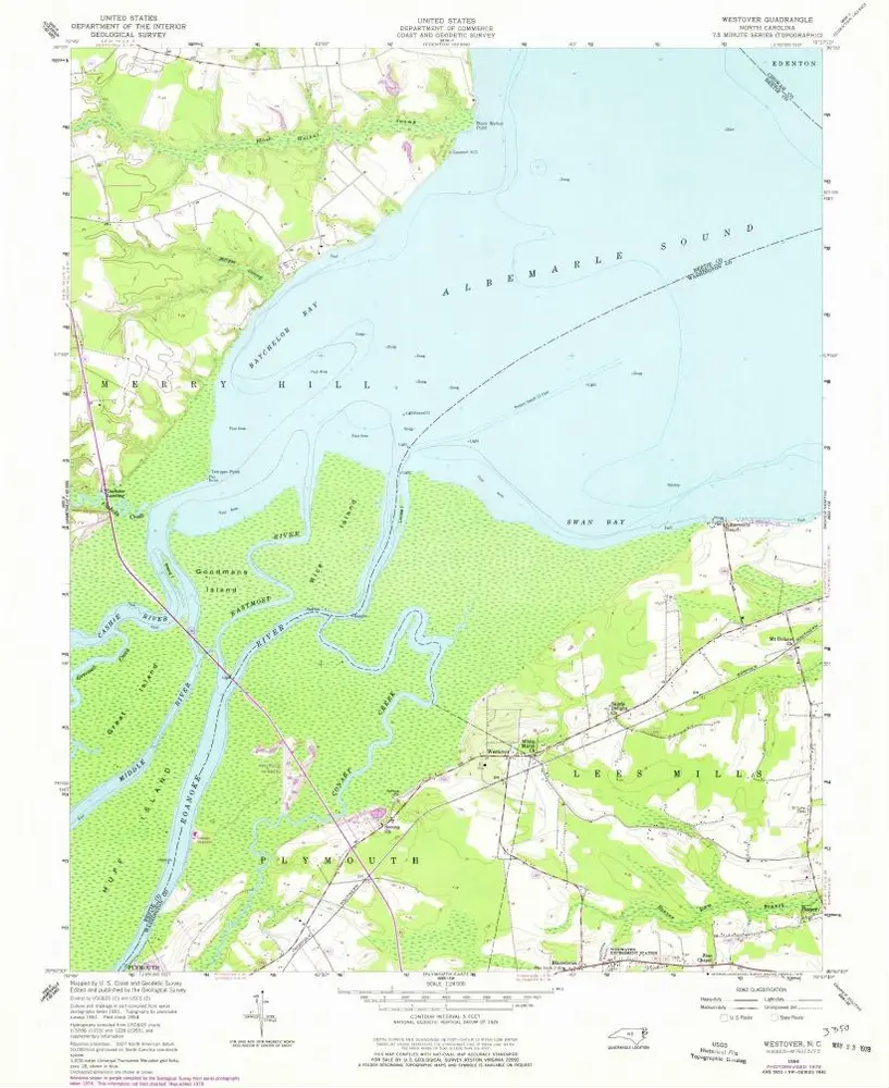
Westover
1954
1:24k
Geschichte