Projekt
Wspólnota
Aktualności
Moja aplikacja
Moje mapy
Katalogisierte Karte
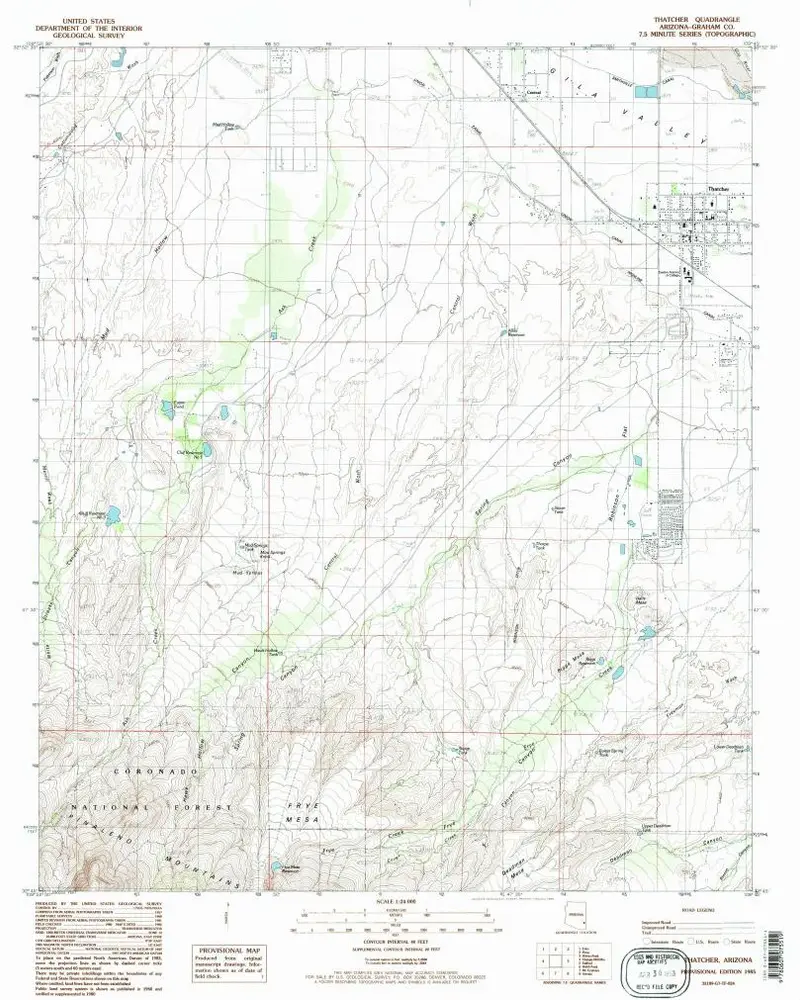
Thatcher
Wyświetlanie na zewnętrznej stronie internetowej
Zobacz zdigitalizowane
Einrichtung:
United States Geological Survey
Vollständiger Titel:
Thatcher
Jahr der Abbildung:
1985
Veröffentlichungsdatum:
1985
Maßstab der Karte:
1:24 000
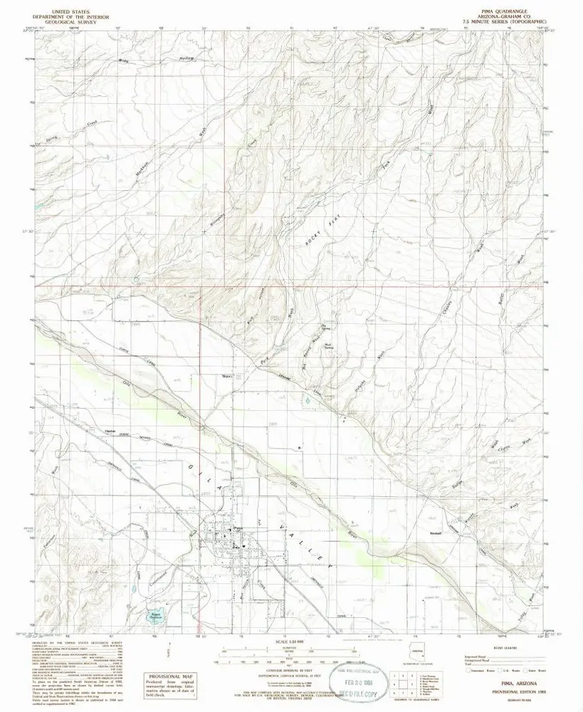
Pima
1985
1:24k
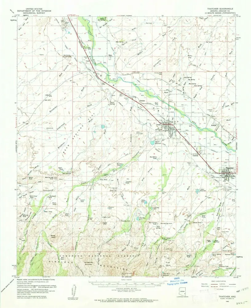
Thatcher
1960
1:63k
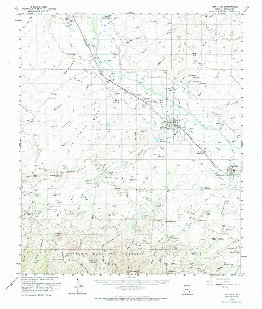
Thatcher
1960
1:63k
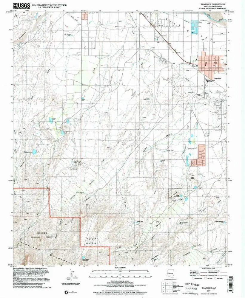
Thatcher
1997
1:24k
Thatcher
1985
1:24k
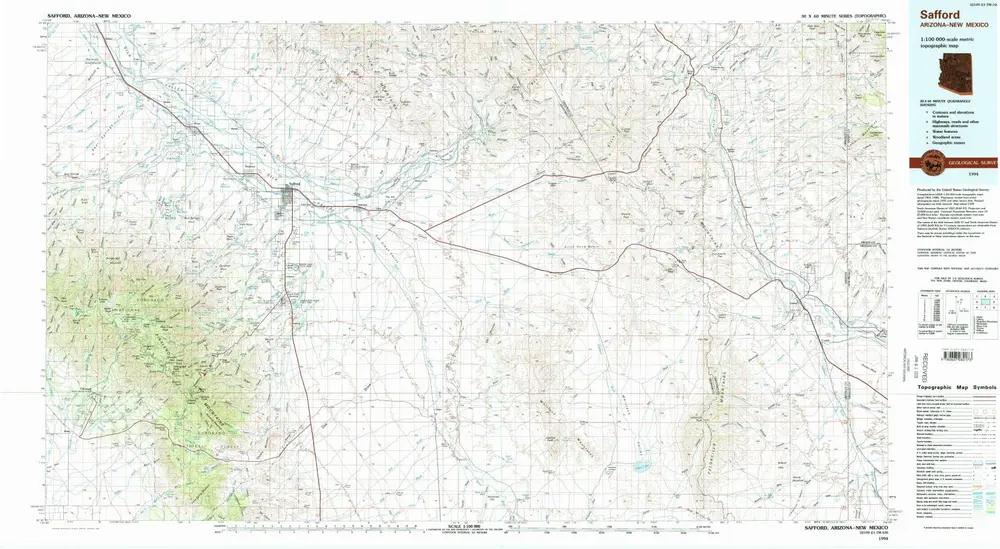
Safford
1994
1:100k
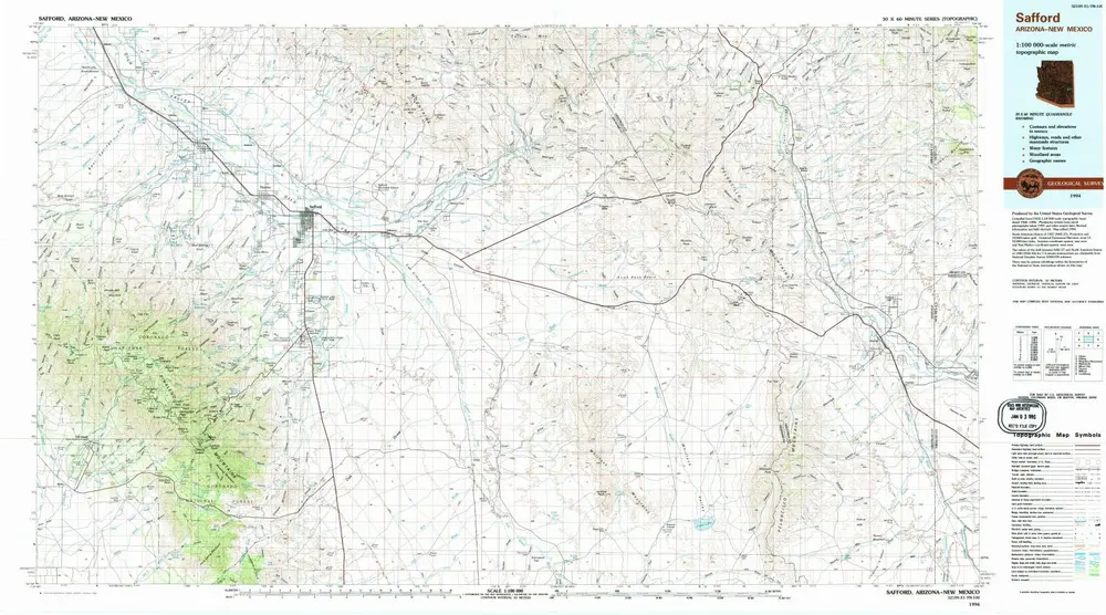
Safford
1994
1:100k
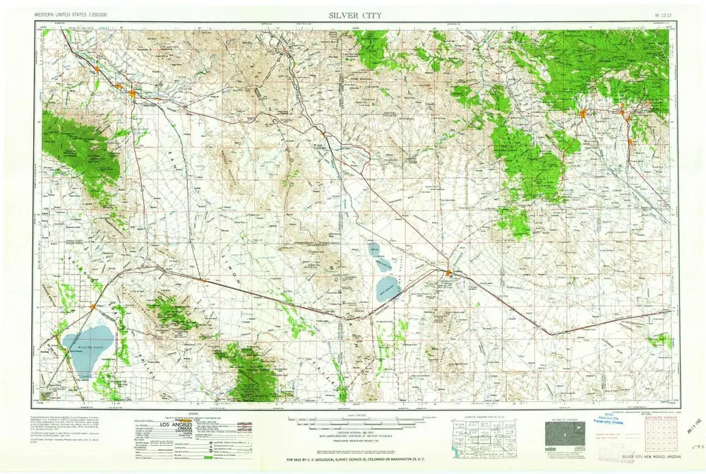
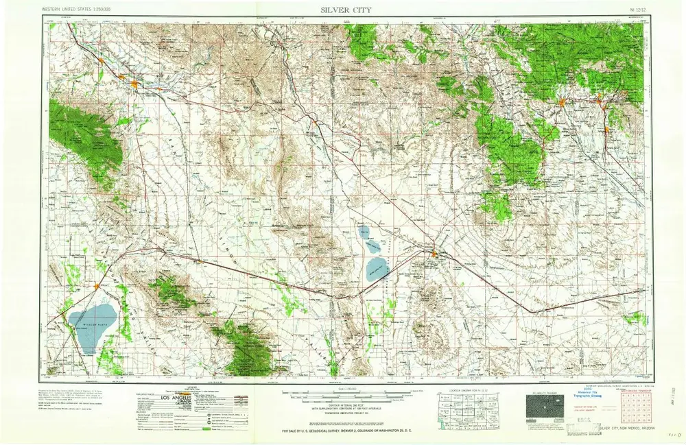
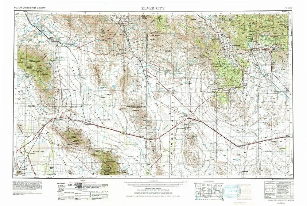
Silver City
1962
1:250k
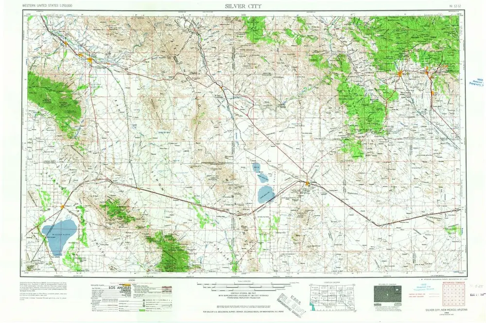
Silver City
1958
1:250k
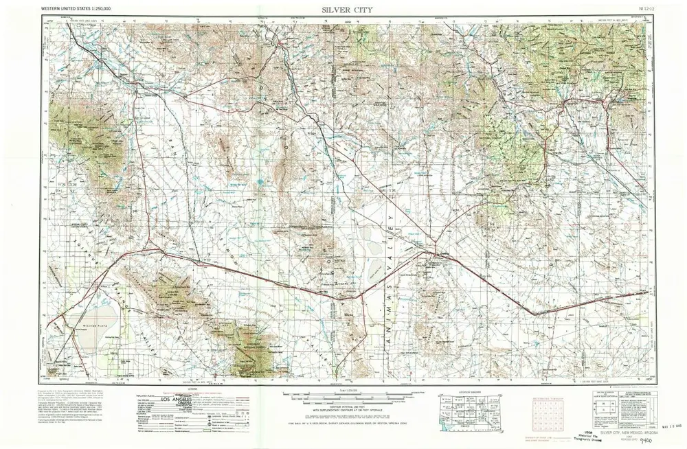
Silver City
1954
1:250k
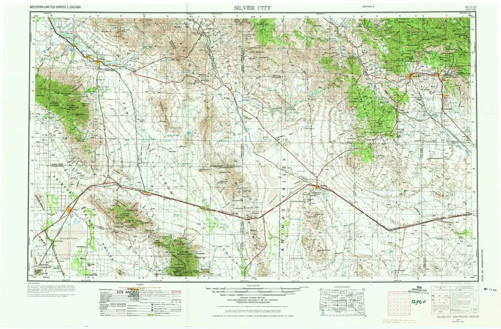
Silver City
1954
1:250k
Silver City
1954
1:250k
Silver City
1954
1:250k
Geschichte