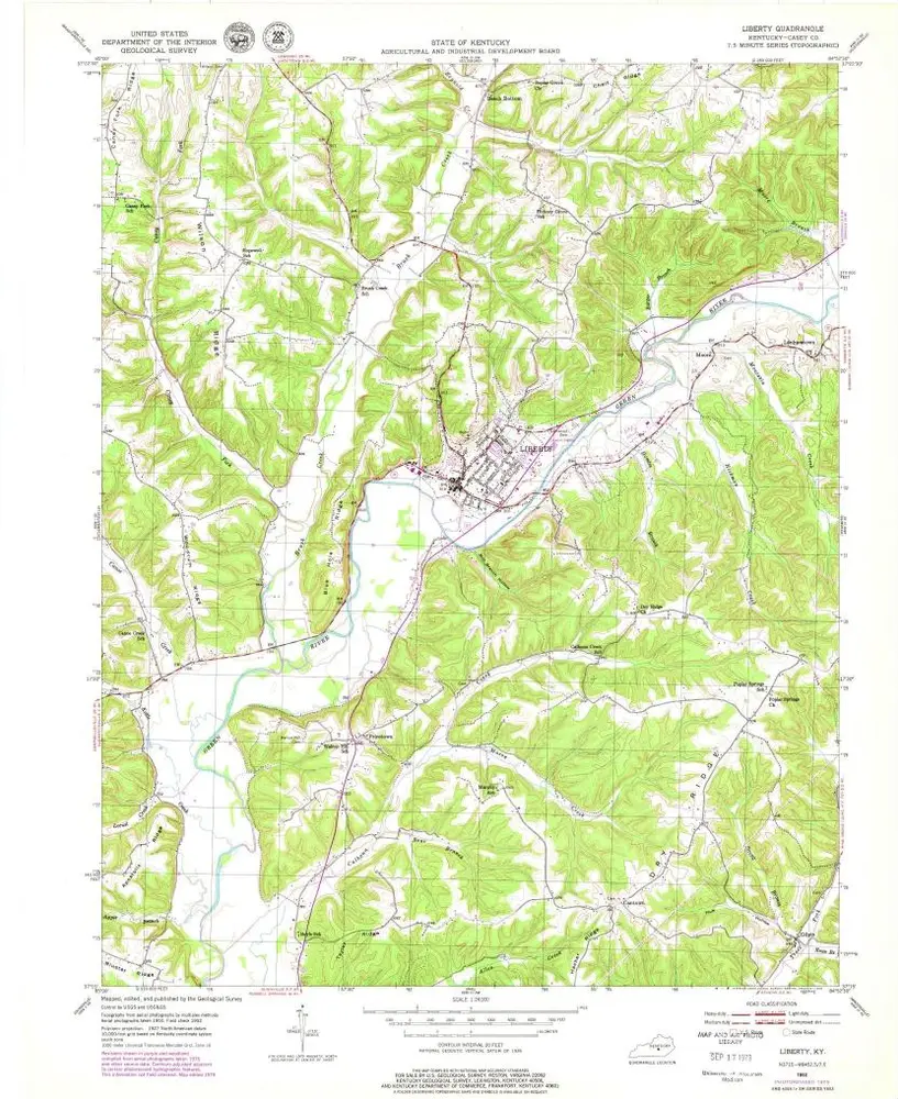
Cataloged map
Liberty

Institution:United States Geological Survey
Full title:Liberty
Depicted:1952
Pubdate:1953
Map scale:1:24 000
Liberty
1952
1:24k
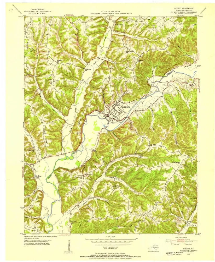
Liberty
1952
1:24k
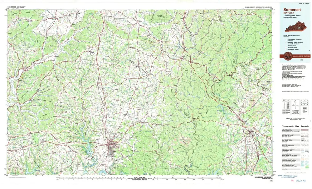
Somerset
1982
1:100k
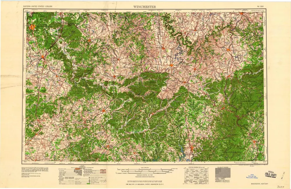
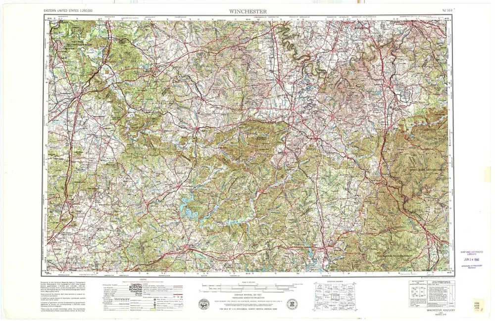
Winchester
1960
1:250k
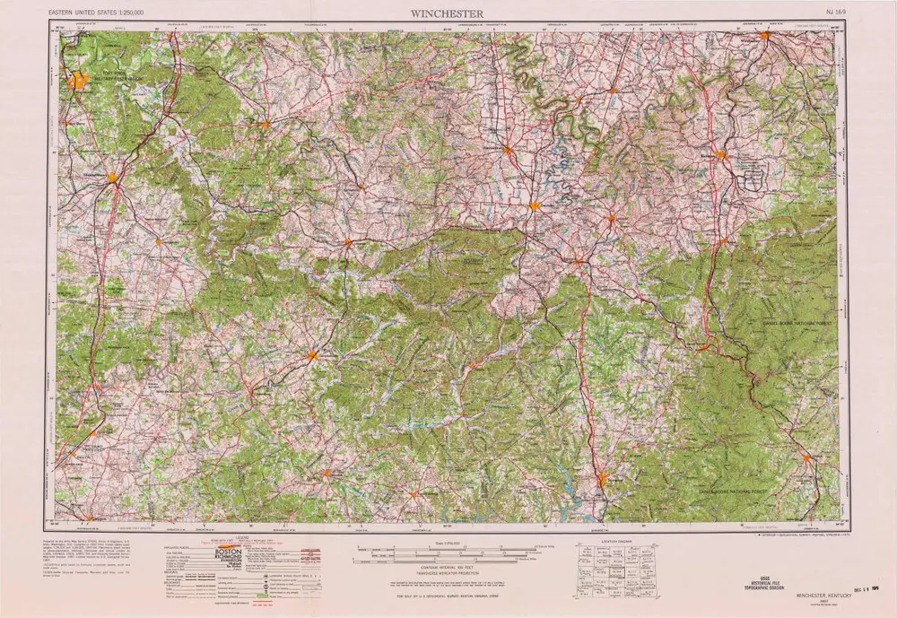
Winchester
1957
1:250k
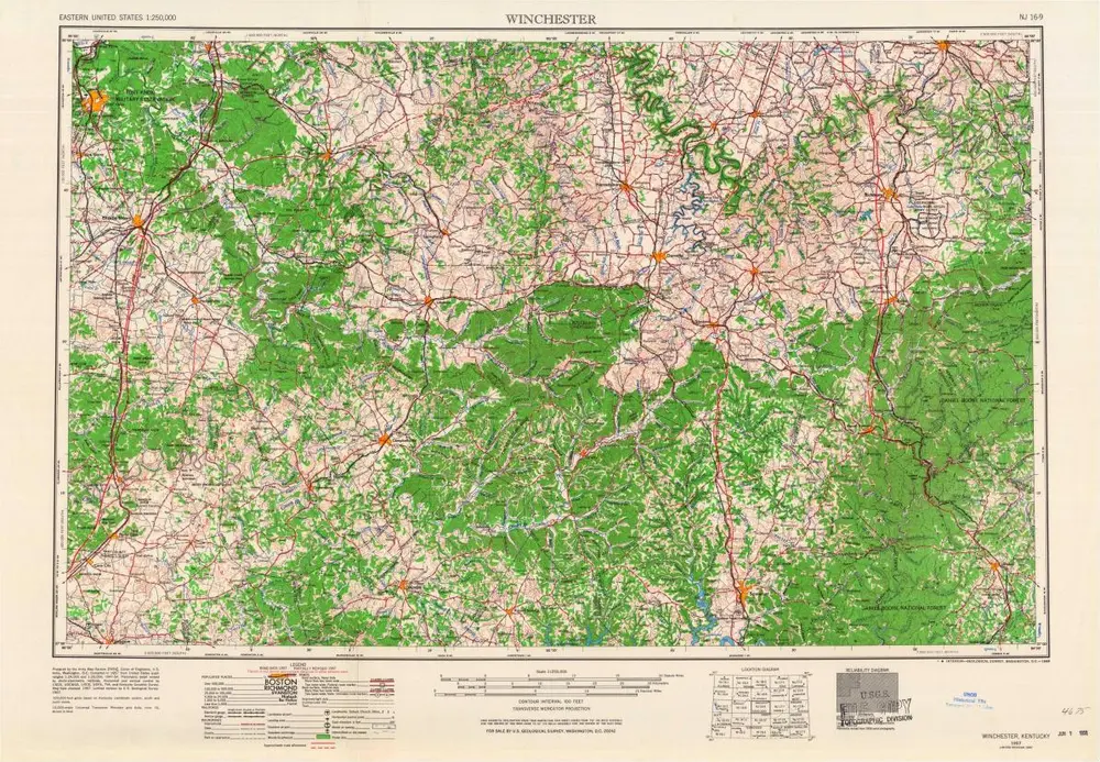
Winchester
1957
1:250k
Winchester
1957
1:250k
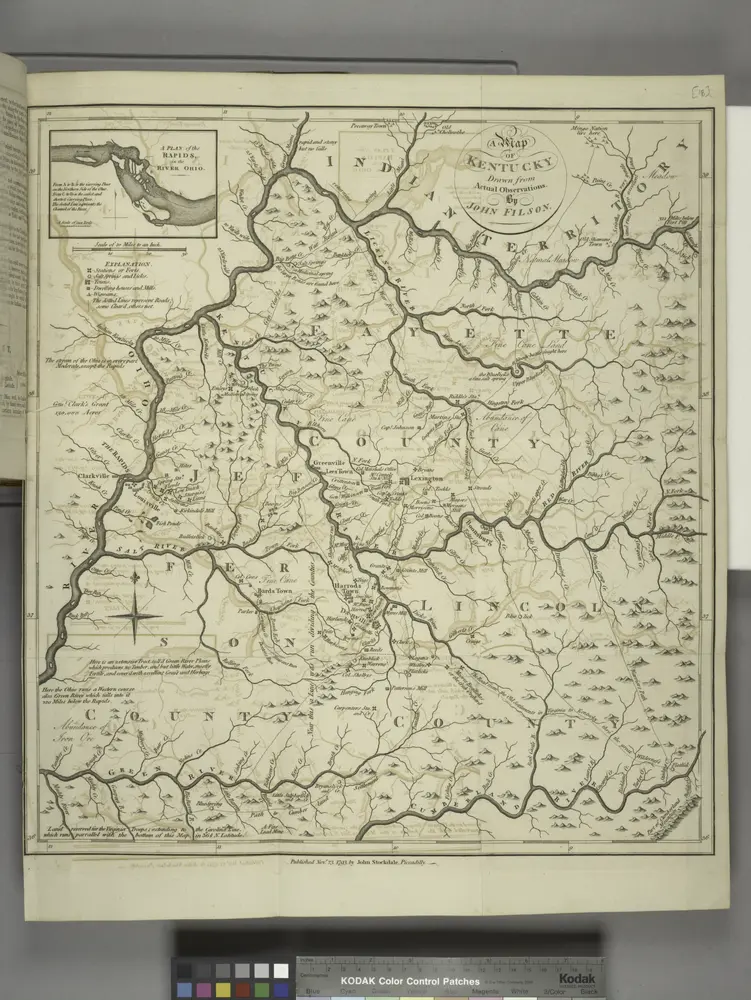
A map of Kentucky, drawn from actual observations by John Filson.
1794
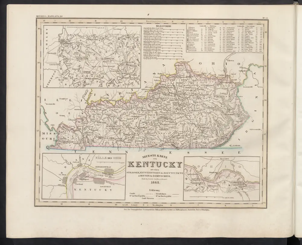
Neueste Karte von Kentucky mit seinen Strassen, Entfernungen der Hauptpunkte & Routen für Dampfschiffe
1860
Meyer, J.
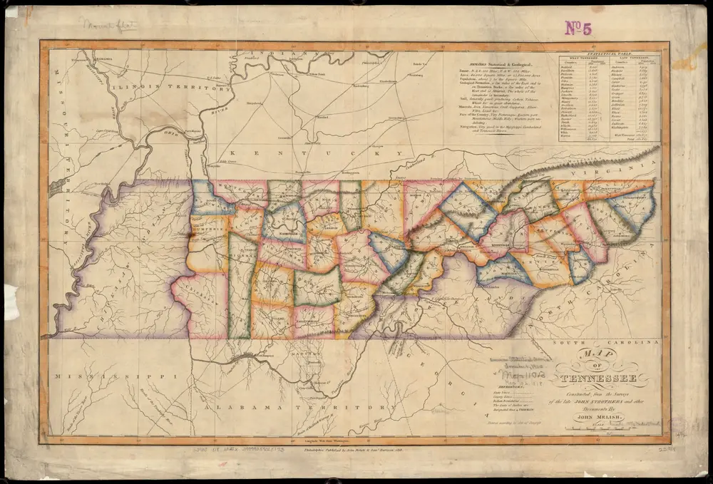
Map of Tennessee
1818
Melish, John
1:1m