Katalogisierte Karte
Riviera Beach

Einrichtung:United States Geological Survey
Vollständiger Titel:Riviera Beach
Jahr der Abbildung:1952
Veröffentlichungsdatum:1955
Maßstab der Karte:1:24 000
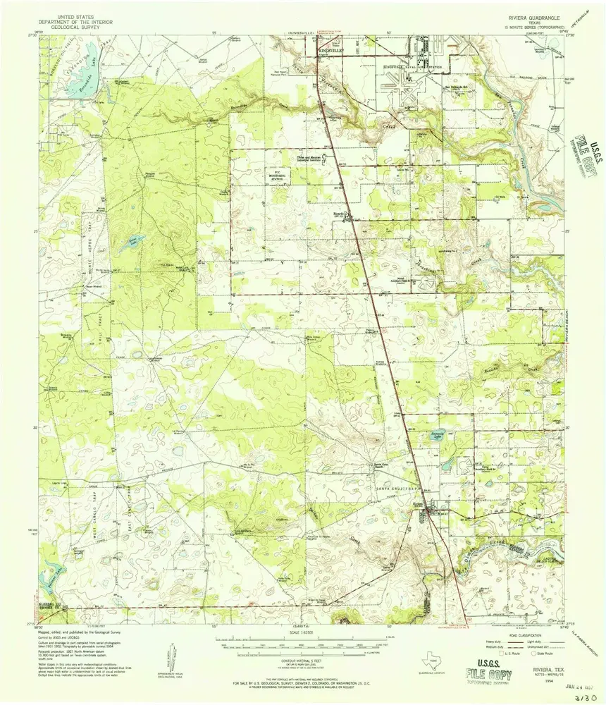
Riviera
1954
1:63k
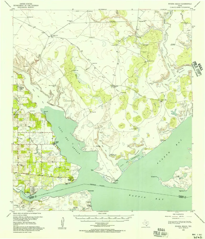
Riviera Beach
1952
1:63k
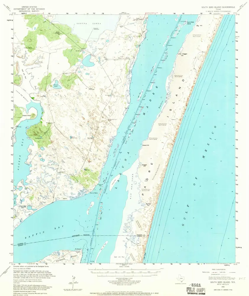
South Bird Island
1951
1:63k
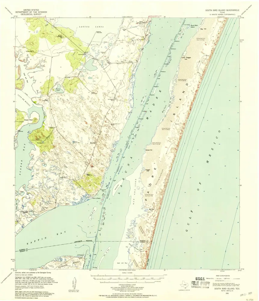
South Bird Island
1951
1:63k
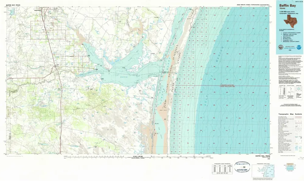
Baffin Bay
1984
1:100k
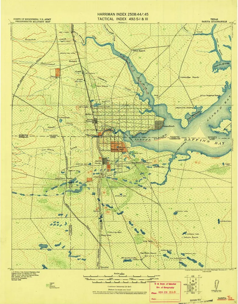
Sarita
1928
1:125k
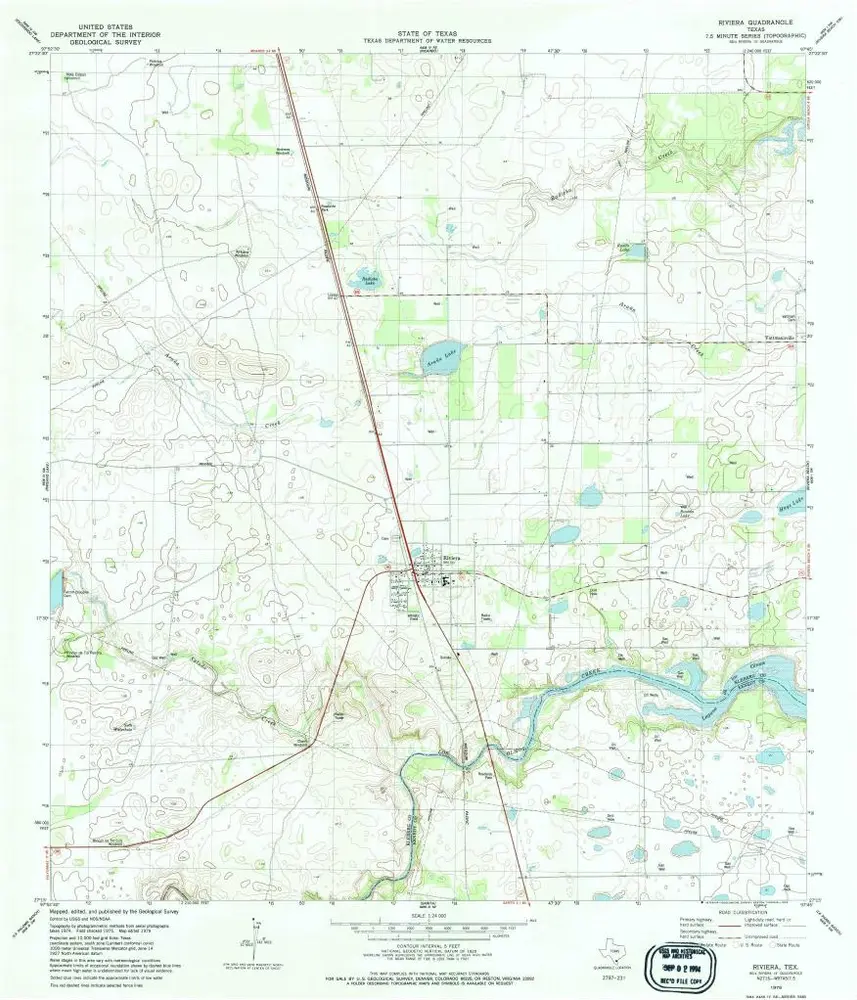
Riviera
1979
1:24k
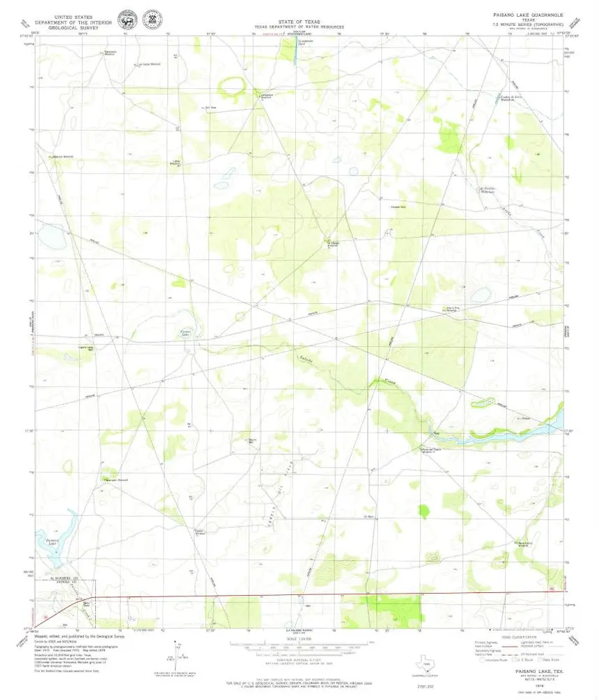
Paisano Lake
1979
1:24k
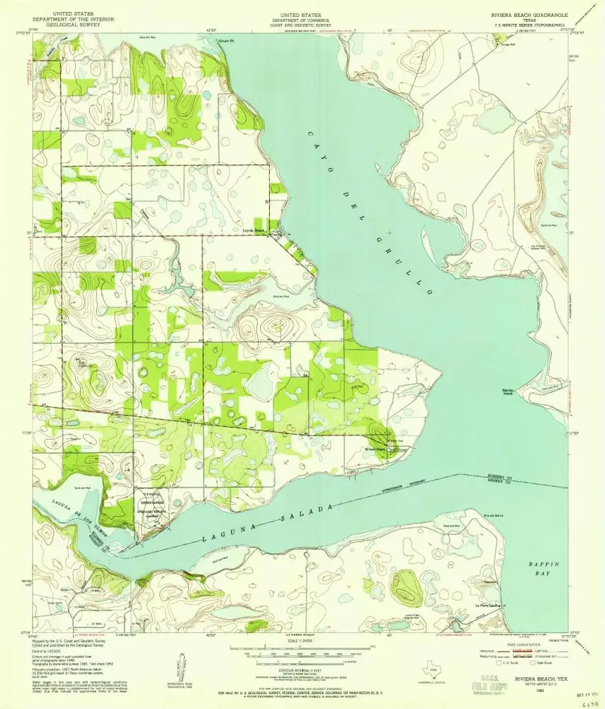
Riviera Beach
1952
1:24k
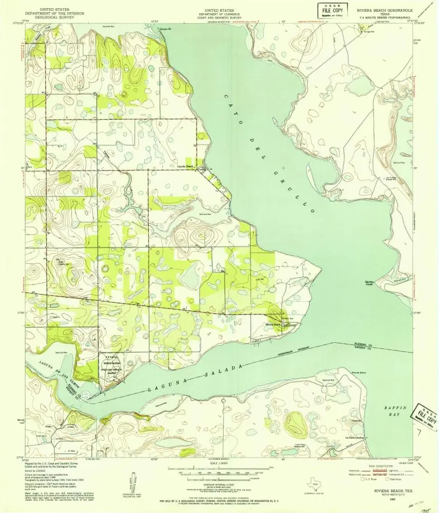
Riviera Beach
1952
1:24k
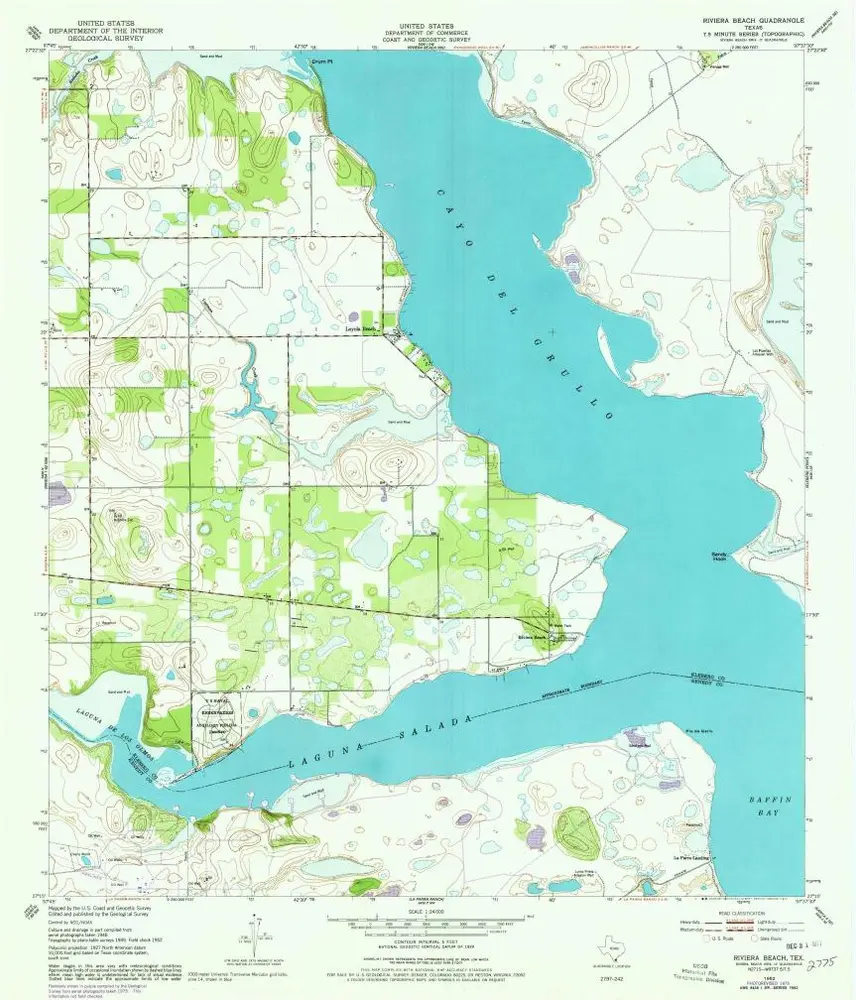
Riviera Beach
1952
1:24k
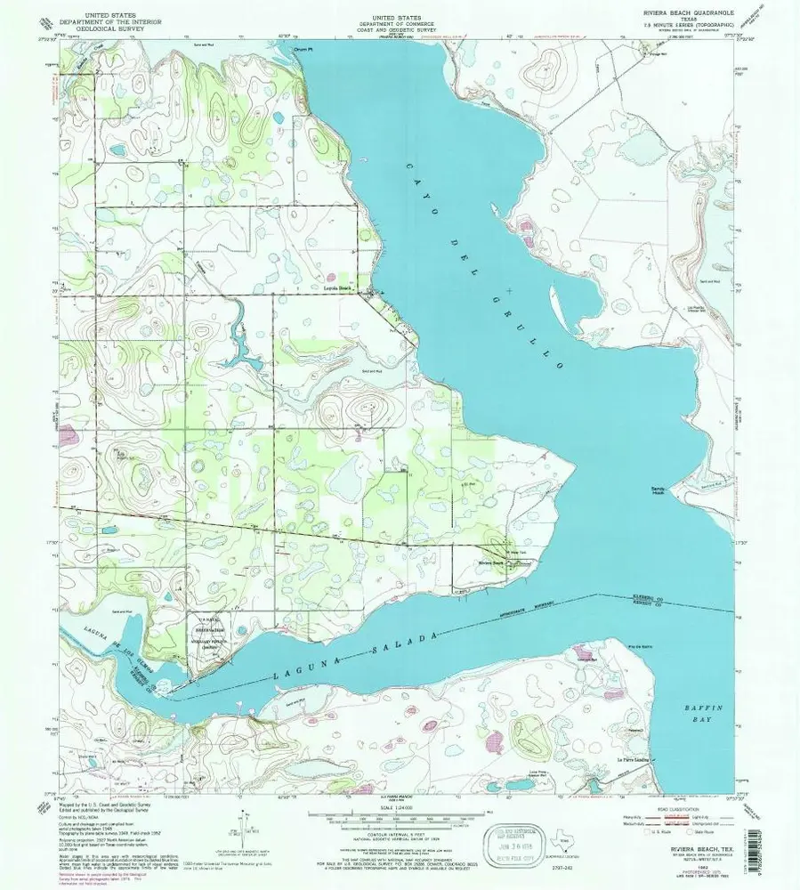
Riviera Beach
1952
1:24k
Kleberg Point
1951
1:24k

Kleberg Point
1951
1:24k
Point Of Rocks
1951
1:24k
Point Of Rocks
1951
1:24k

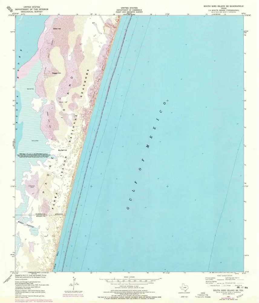
South Bird Island SE
1951
1:24k
South Bird Island SE
1951
1:24k
South Bird Island SE
1951
1:24k