Projekt
Wspólnota
Aktualności
Moja aplikacja
Moje mapy
Katalogisierte Karte
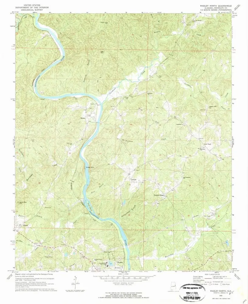
Wadley North
Wyświetlanie na zewnętrznej stronie internetowej
Zobacz zdigitalizowane
Einrichtung:
United States Geological Survey
Vollständiger Titel:
Wadley North
Jahr der Abbildung:
1969
Veröffentlichungsdatum:
1973
Maßstab der Karte:
1:24 000
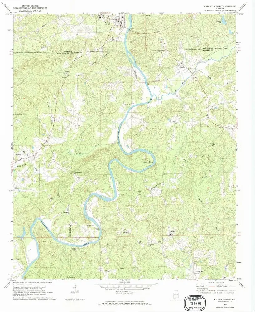
Wadley South
1969
1:24k
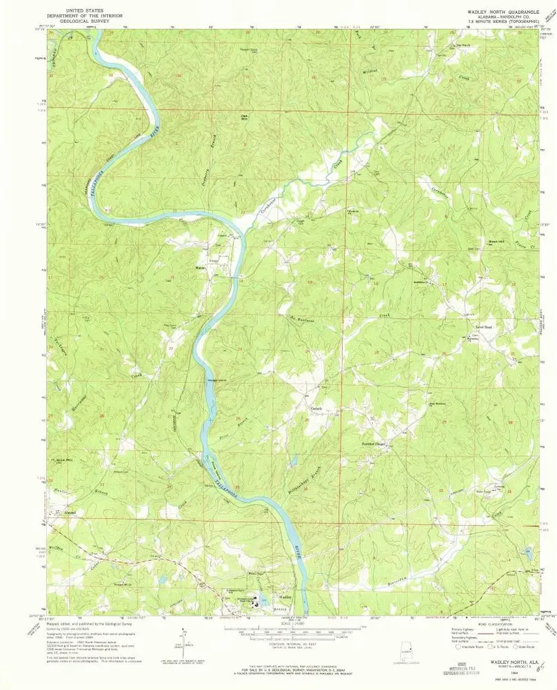
Wadley North
1969
1:24k
Wadley North
1969
1:24k
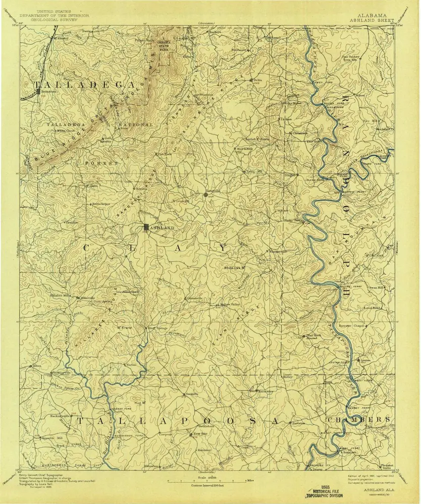
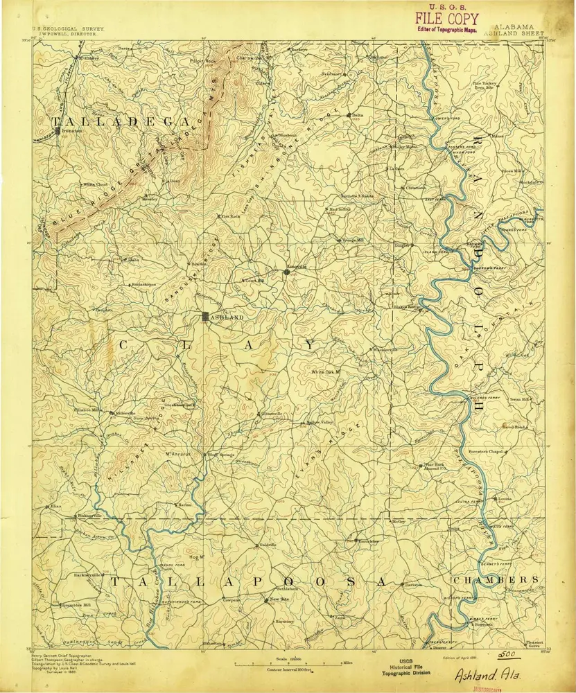
Ashland
1891
1:125k
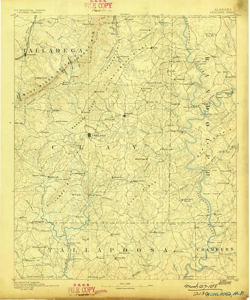
Ashland
1891
1:125k
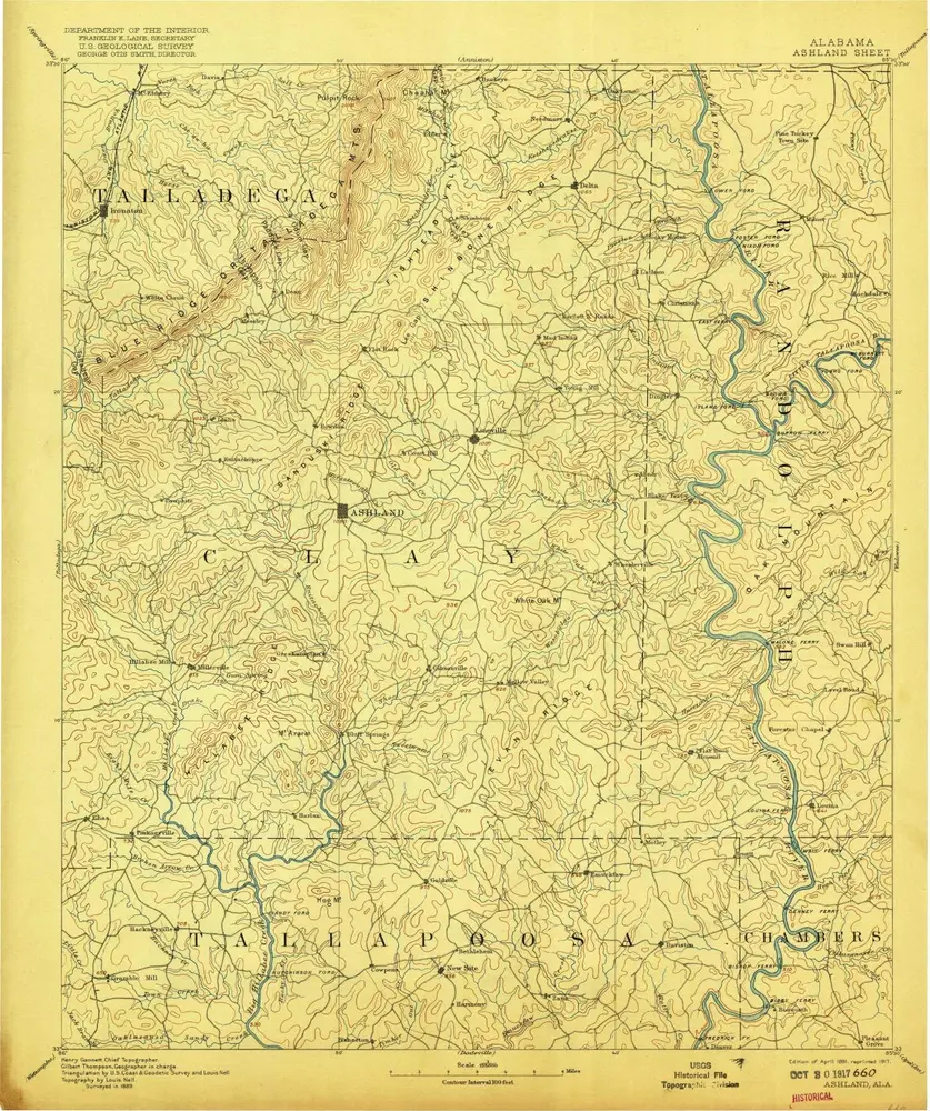
Ashland
1891
1:125k
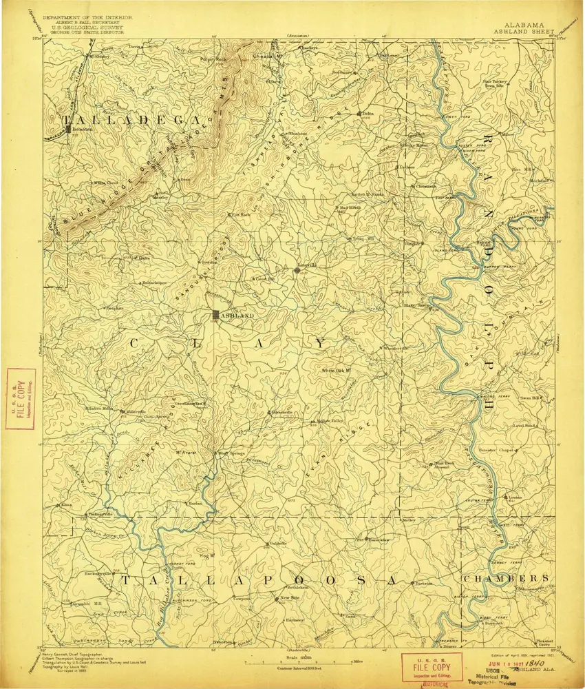
Ashland
1891
1:125k
Ashland
1891
1:125k
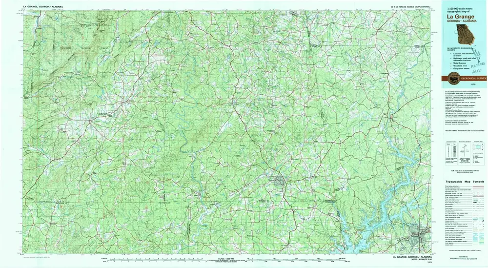
La Grange
1978
1:100k
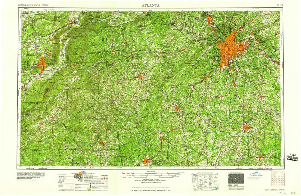
Atlanta
1958
1:250k
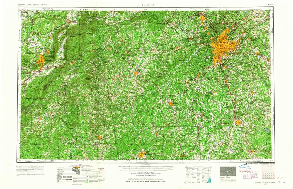
Atlanta
1953
1:250k
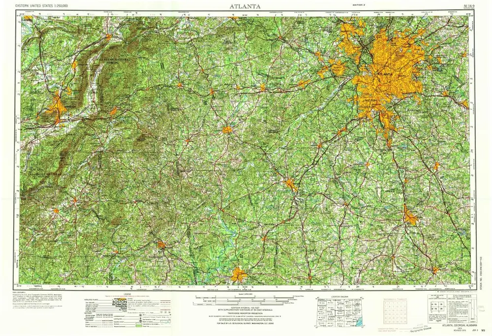
Atlanta
1953
1:250k
Geschichte