Projekt
Wspólnota
Aktualności
Moja aplikacja
Moje mapy
Katalogisierte Karte
Death Valley
Wyświetlanie na zewnętrznej stronie internetowej
Zobacz zdigitalizowane
Einrichtung:
United States Geological Survey
Vollständiger Titel:
Death Valley
Jahr der Abbildung:
1948
Veröffentlichungsdatum:
1951
Maßstab der Karte:
1:250 000
Death Valley
1964
1:250k
Death Valley
1961
1:250k
Death Valley
1958
1:250k
Death Valley
1956
1:250k
Death Valley
1954
1:250k
Death Valley
1954
1:250k
Death Valley
1954
1:250k
Death Valley
1948
1:250k
Death Valley
1948
1:250k
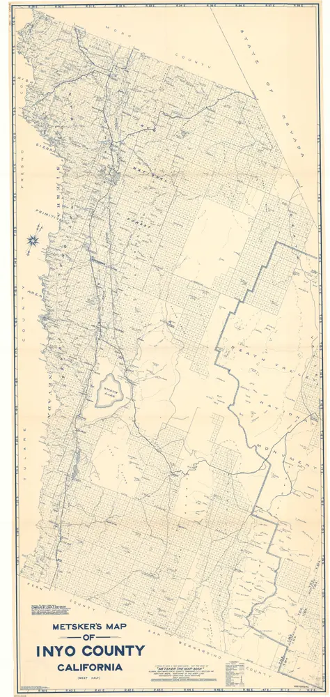
Metsker's map of Inyo County, California
1938
Chas. F. Metsker
1:127k
Geschichte