Katalogisierte Karte
San Perlita South

Einrichtung:United States Geological Survey
Vollständiger Titel:San Perlita South
Jahr der Abbildung:1956
Veröffentlichungsdatum:1991
Maßstab der Karte:1:24 000
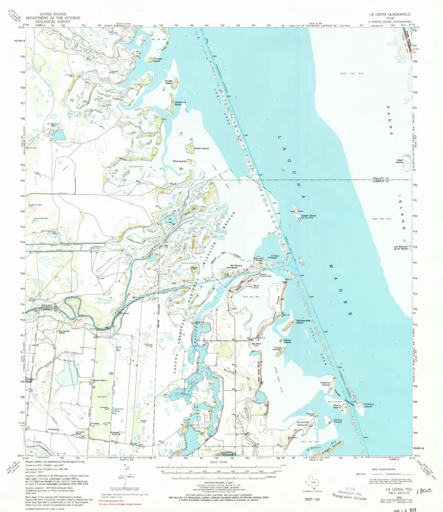
La Leona
1955
1:63k
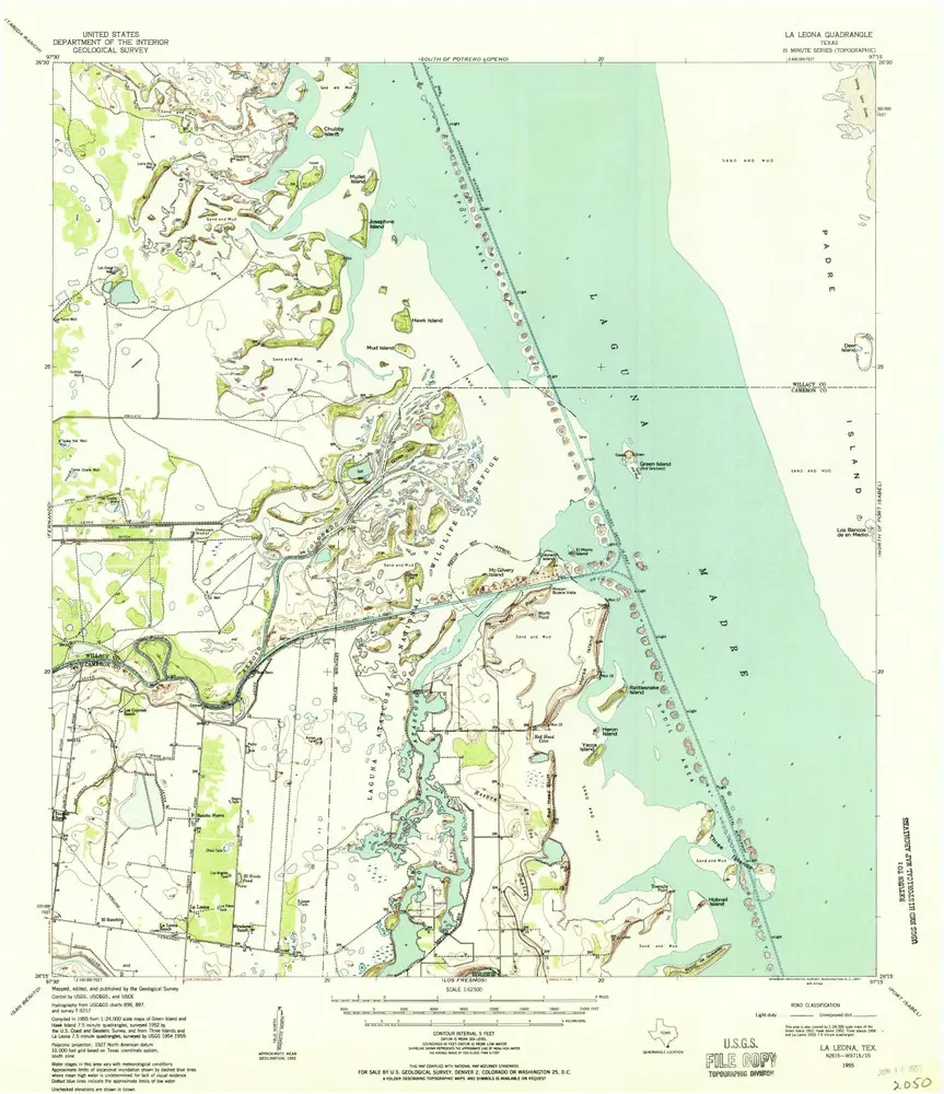
La Leona
1955
1:63k
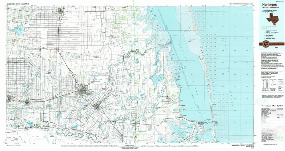
Harlingen
1992
1:100k
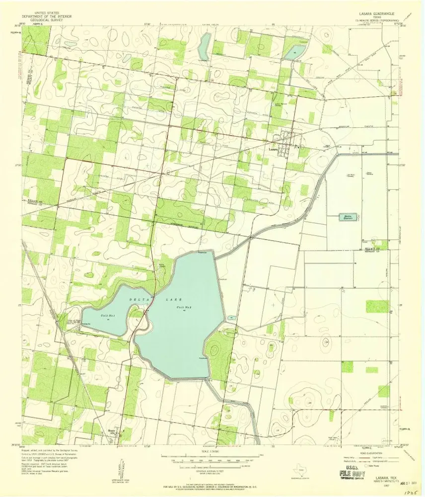
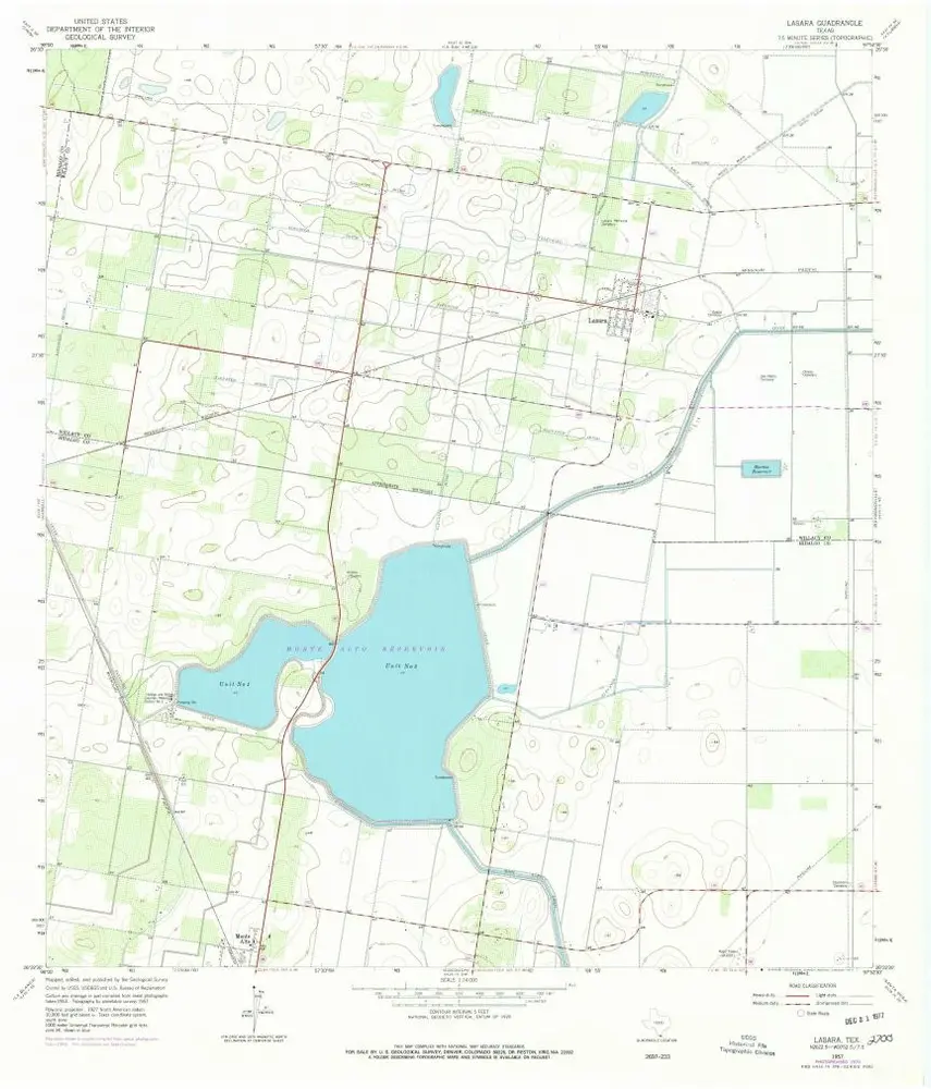
Lasara
1957
1:24k
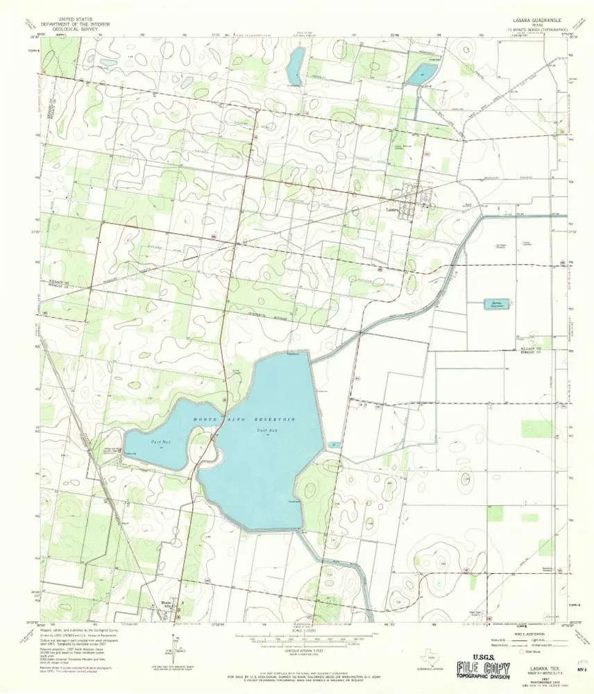
Lasara
1957
1:24k
Lasara
1957
1:24k
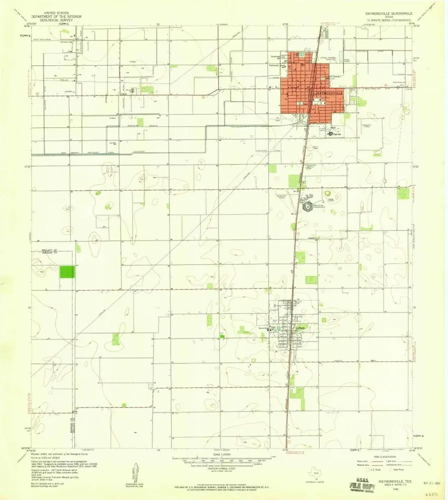
Raymondville
1956
1:24k
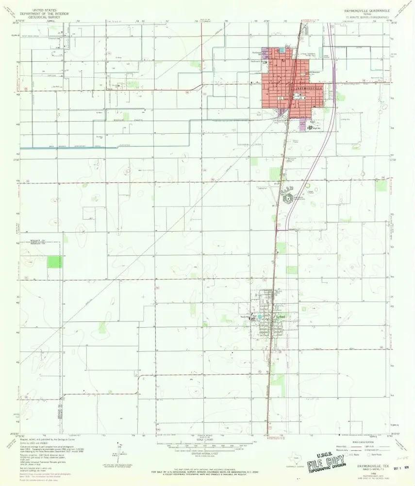
Raymondville
1956
1:24k

Raymondville
1956
1:24k
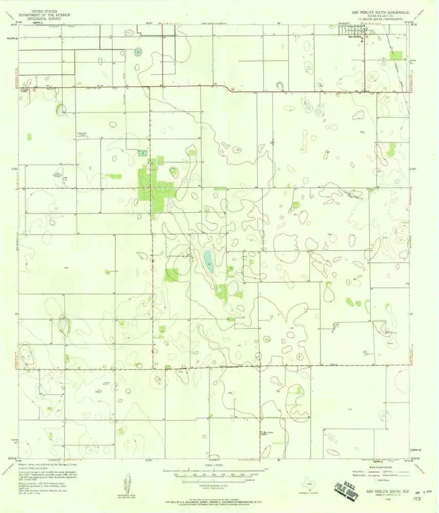
San Perlita South
1956
1:24k
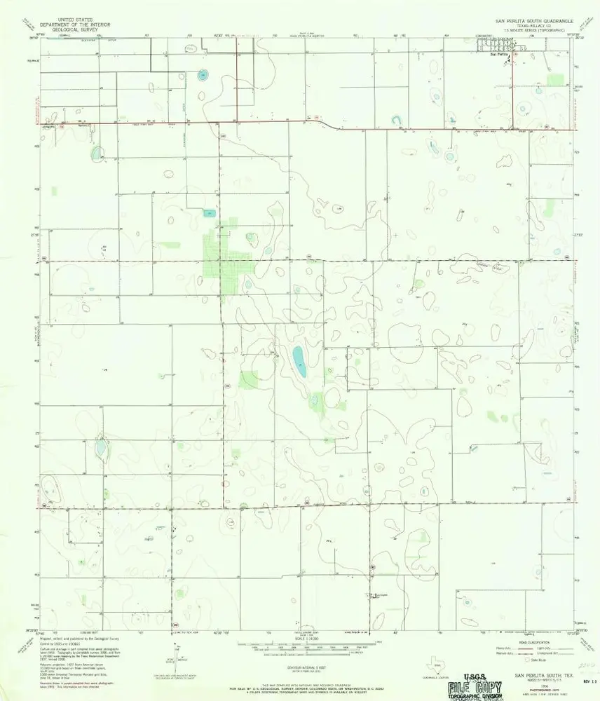
San Perlita South
1956
1:24k
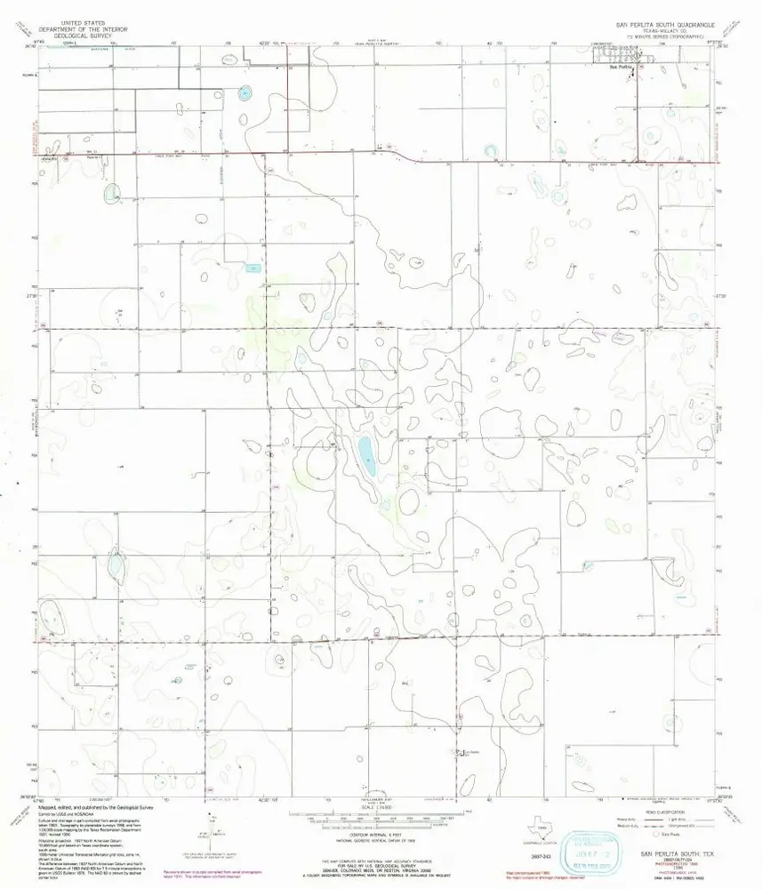
San Perlita South
1956
1:24k
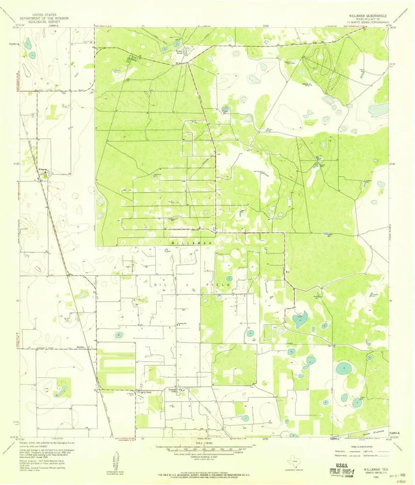
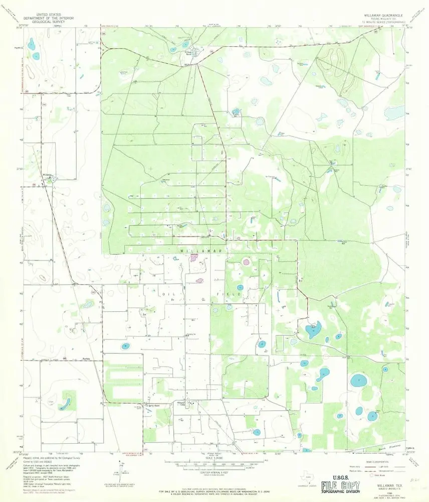
Willamar
1956
1:24k
Willamar
1956
1:24k

Willamar
1956
1:24k
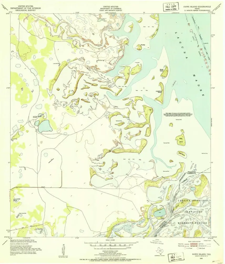
Hawk Island
1952
1:24k
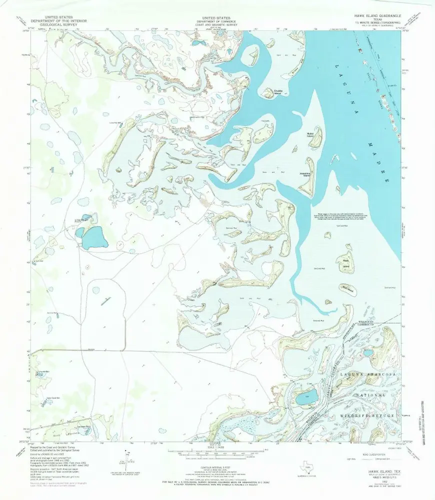
Hawk Island
1952
1:24k
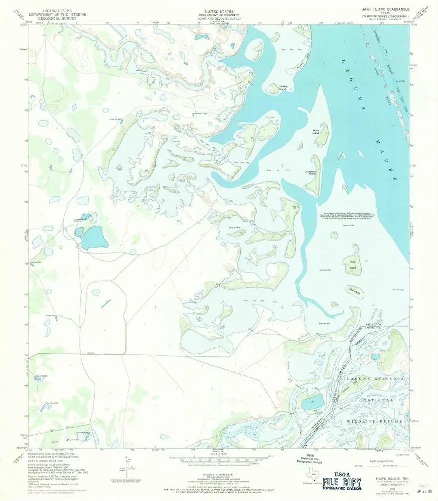
Hawk Island
1952
1:24k
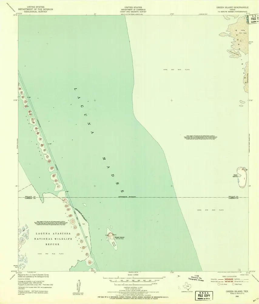
Green Island
1952
1:24k
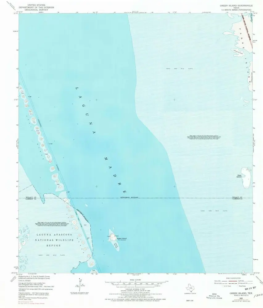
Green Island
1952
1:24k