Projekt
Wspólnota
Aktualności
Moja aplikacja
Moje mapy
Katalogisierte Karte
McCoy Spring
Wyświetlanie na zewnętrznej stronie internetowej
Zobacz zdigitalizowane
Einrichtung:
United States Geological Survey
Vollständiger Titel:
McCoy Spring
Jahr der Abbildung:
1952
Veröffentlichungsdatum:
1961
Maßstab der Karte:
1:62 500
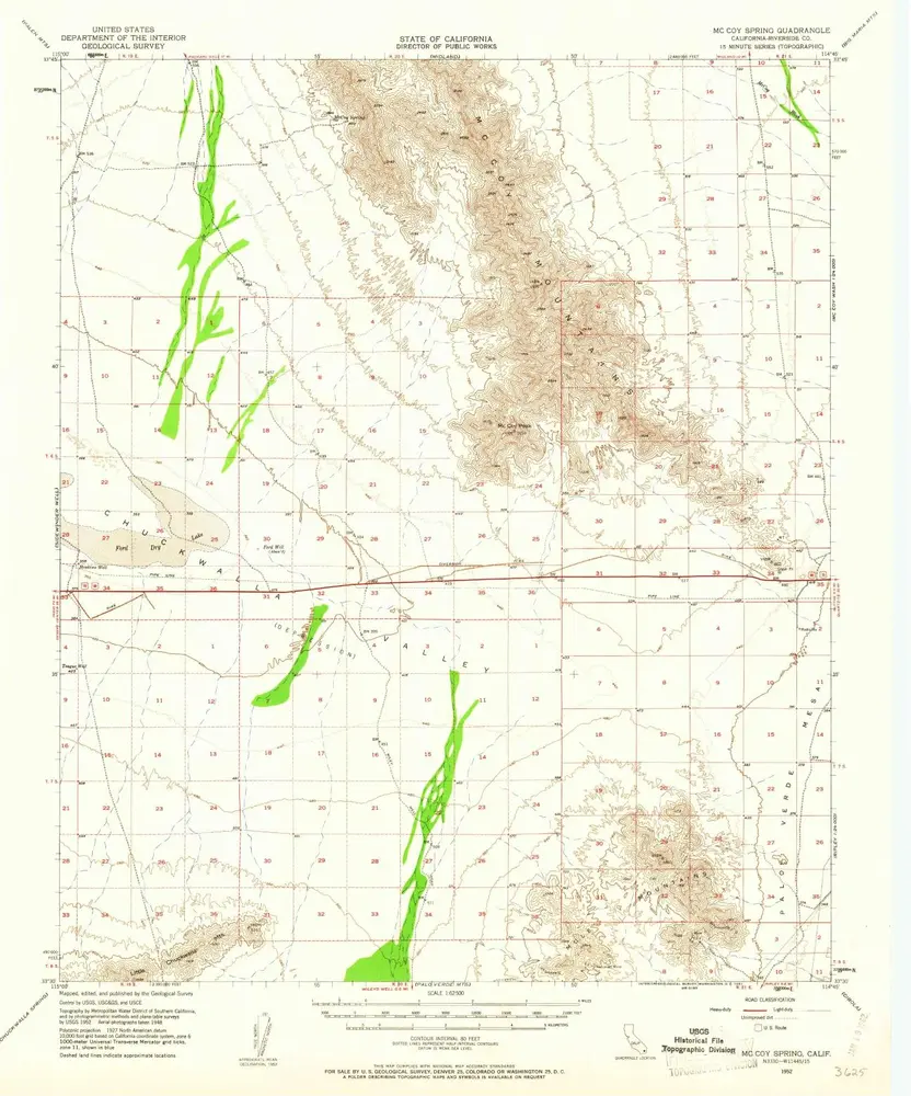
McCoy Spring
1952
1:63k
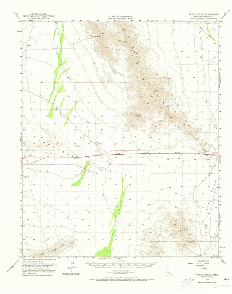
McCoy Spring
1952
1:63k
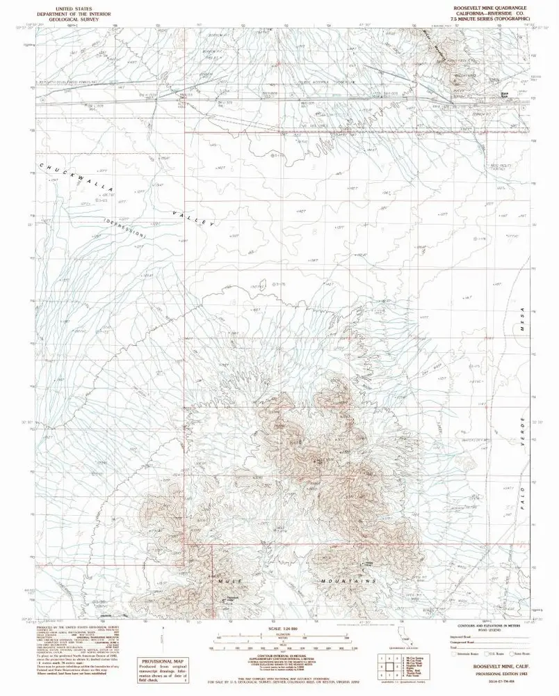
Roosevelt Mine
1983
1:24k
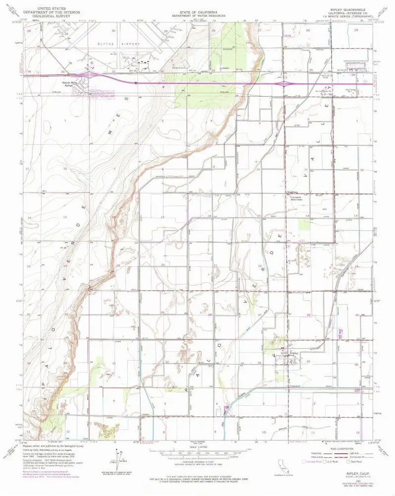
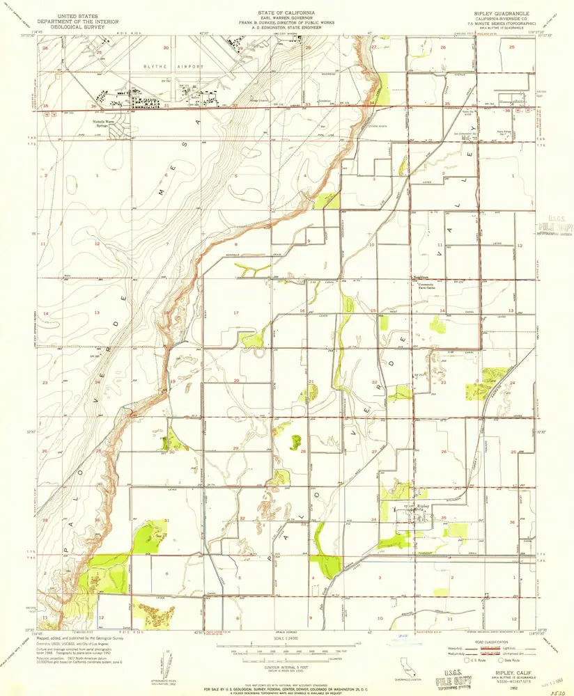
Ripley
1952
1:24k
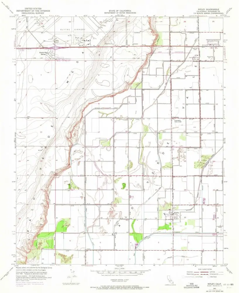
Ripley
1952
1:24k
Ripley
1952
1:24k
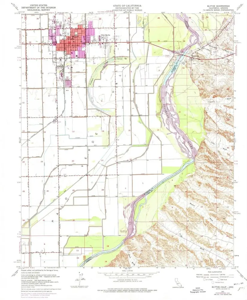
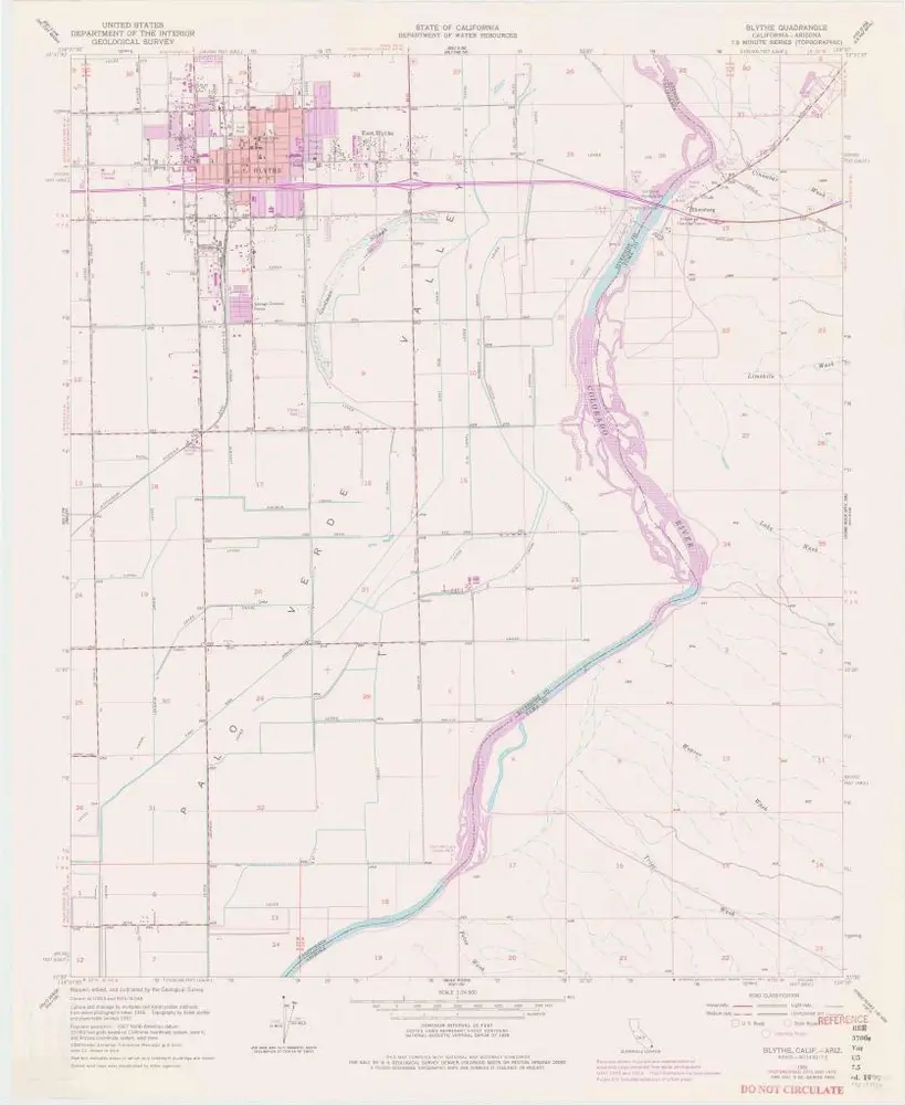
Blythe
1970
1:24k
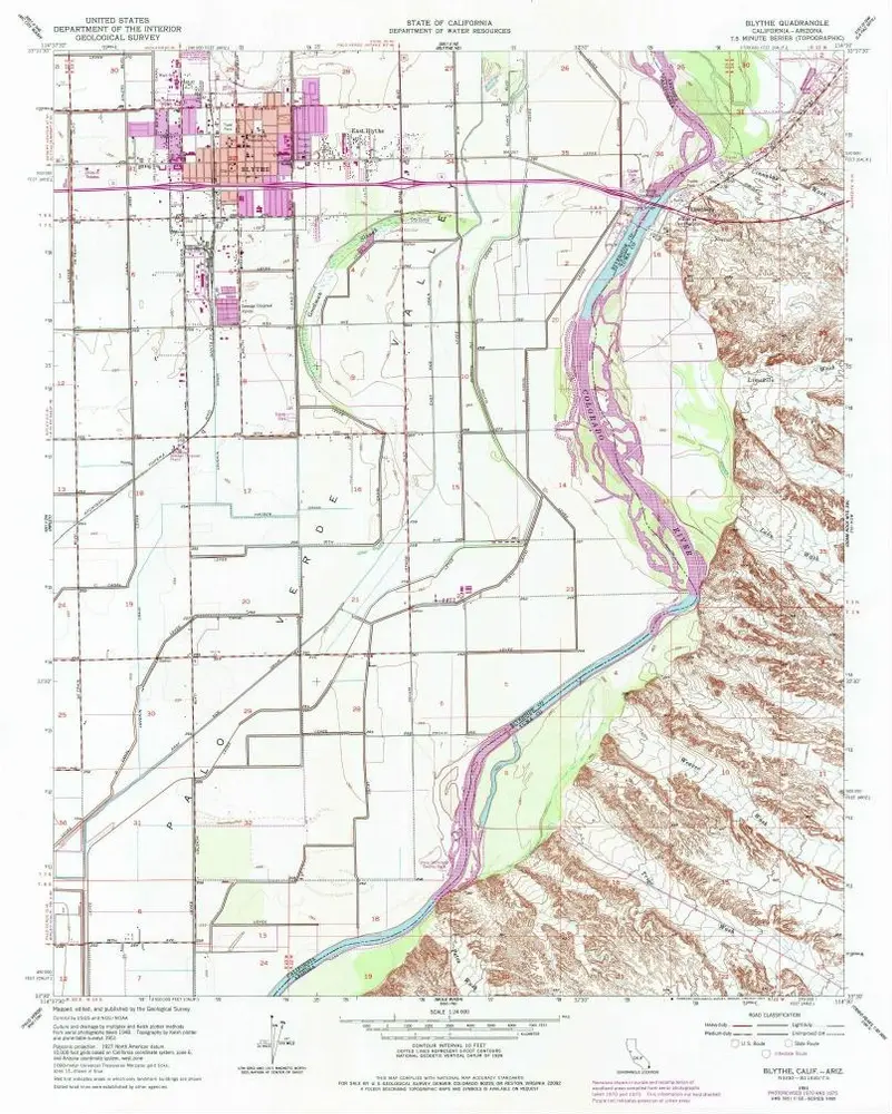
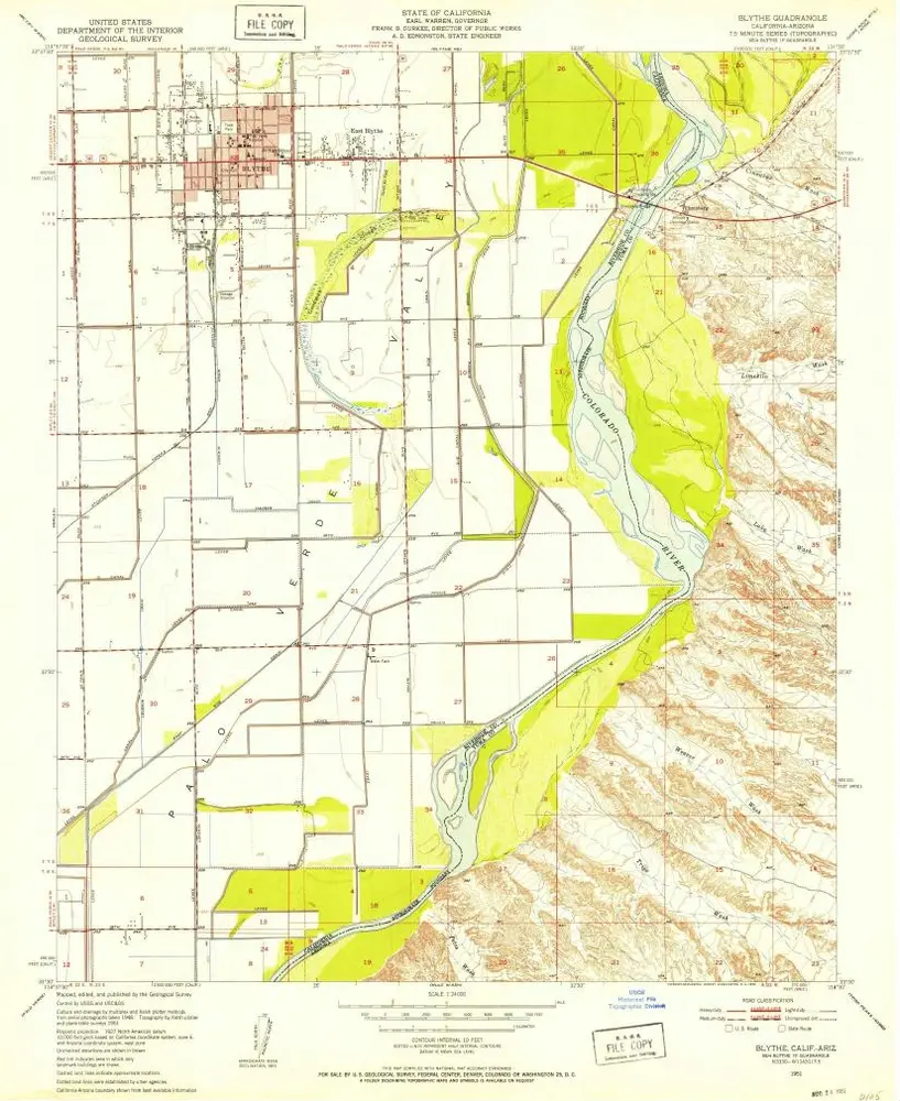
Blythe
1951
1:24k
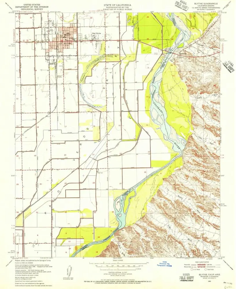
Blythe
1951
1:24k
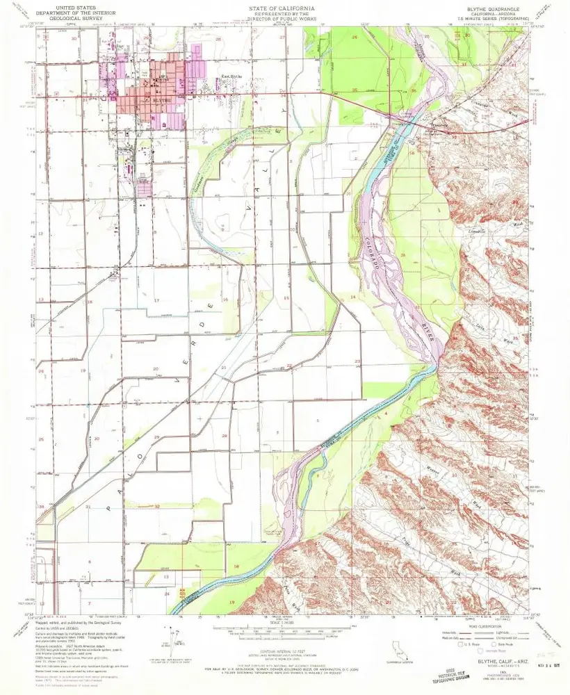
Blythe
1951
1:24k
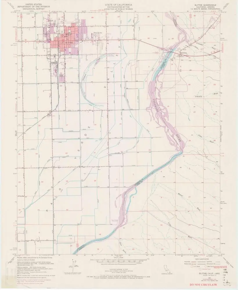
Blythe
1951
1:24k
Blythe
1951
1:24k
Blythe
1951
1:24k
Geschichte