Dokument

Bromley (Kent)
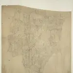
Drawing showing the area around Bromley in Kent. Field boundaries enclosing cultivated land dominate this map of what is now south-east London. Such land is depicted by a striped pattern. Ruled dashed red lines also feature strongly. They radiate from trigonometrical stations used for measuring and plotting topographical features. The signalling telegraph station in Plow Garlic Hill at the top left of the plan marks the site of a trigonometrical station.
The British Library1799
1799

