Project
Gemeenschap
Nieuws
Mijn app
Mijn kaarten
Katalogisierte Karte
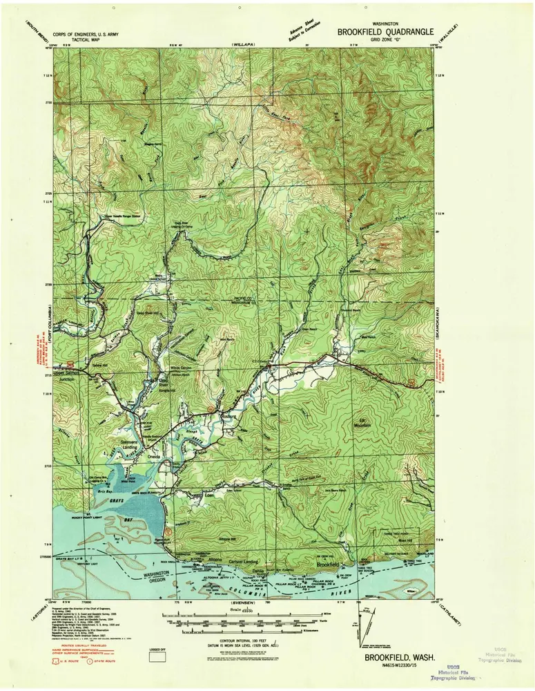
Brookfield
Bekijk op externe website
Bekijk gedigitaliseerd
Einrichtung:
United States Geological Survey
Vollständiger Titel:
Brookfield
Jahr der Abbildung:
1940
Maßstab der Karte:
1:62 500
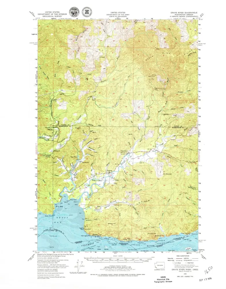
Grays River
1955
1:63k
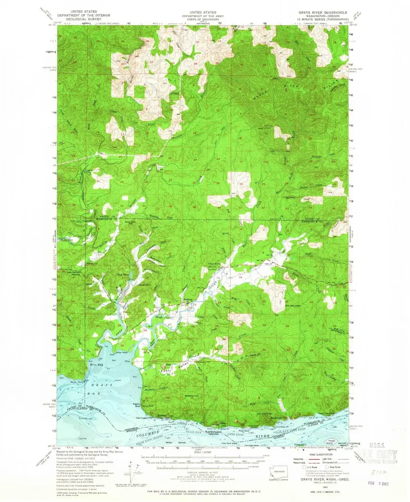
Grays River
1955
1:63k
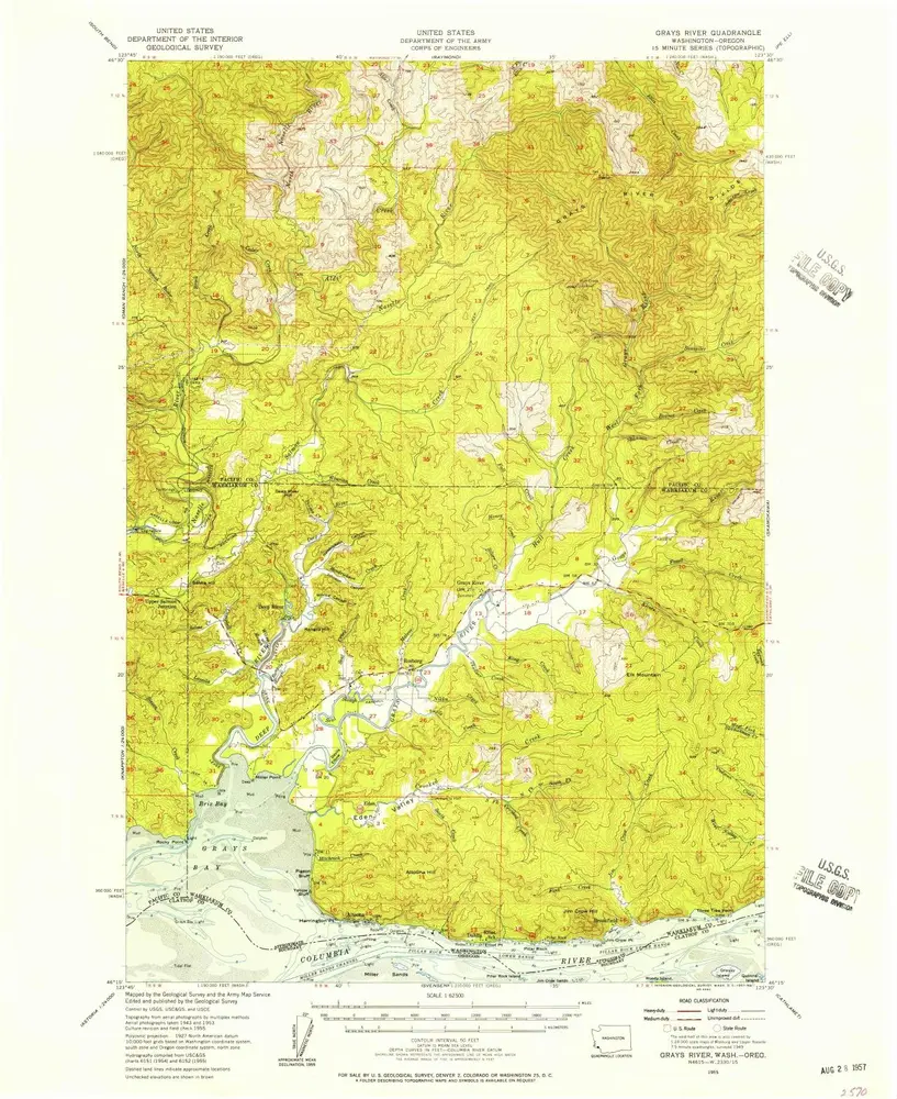
Grays River
1955
1:63k
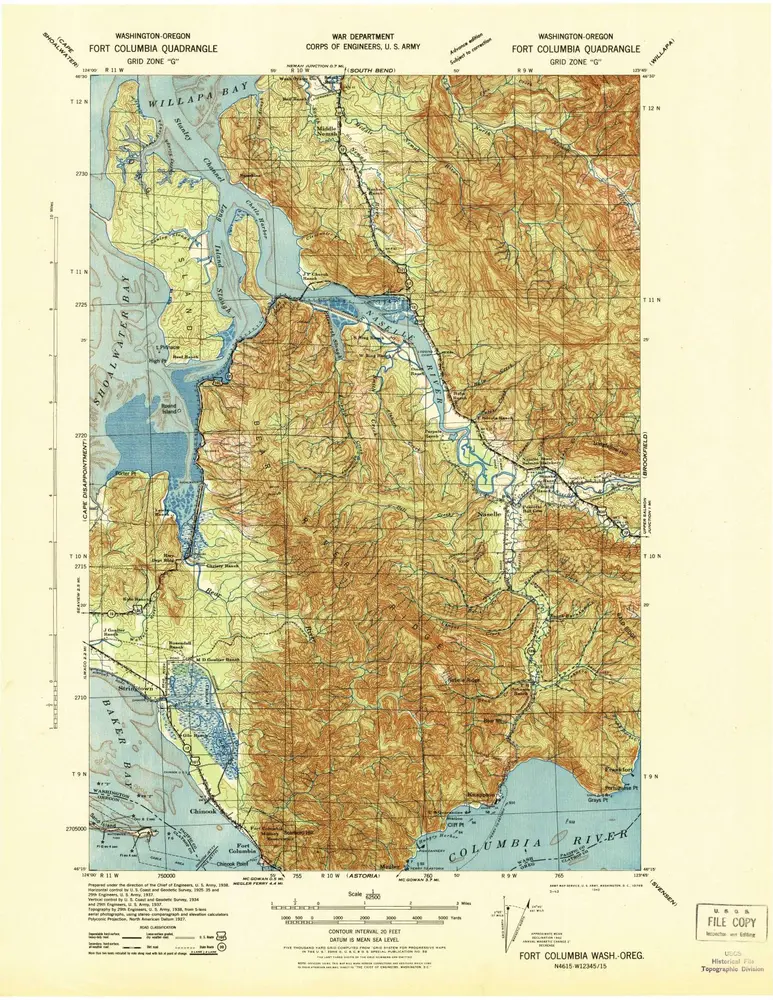
Fort Columbia
1943
1:63k
Brookfield
1940
1:63k
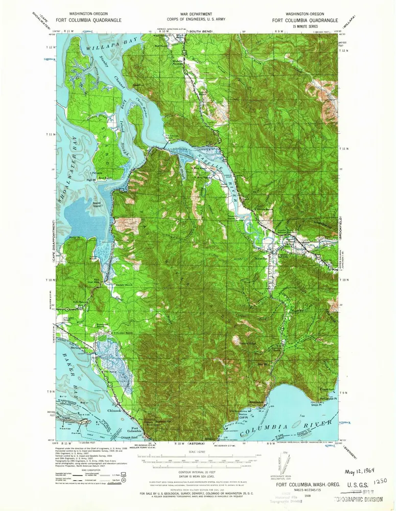
Fort Columbia
1938
1:63k
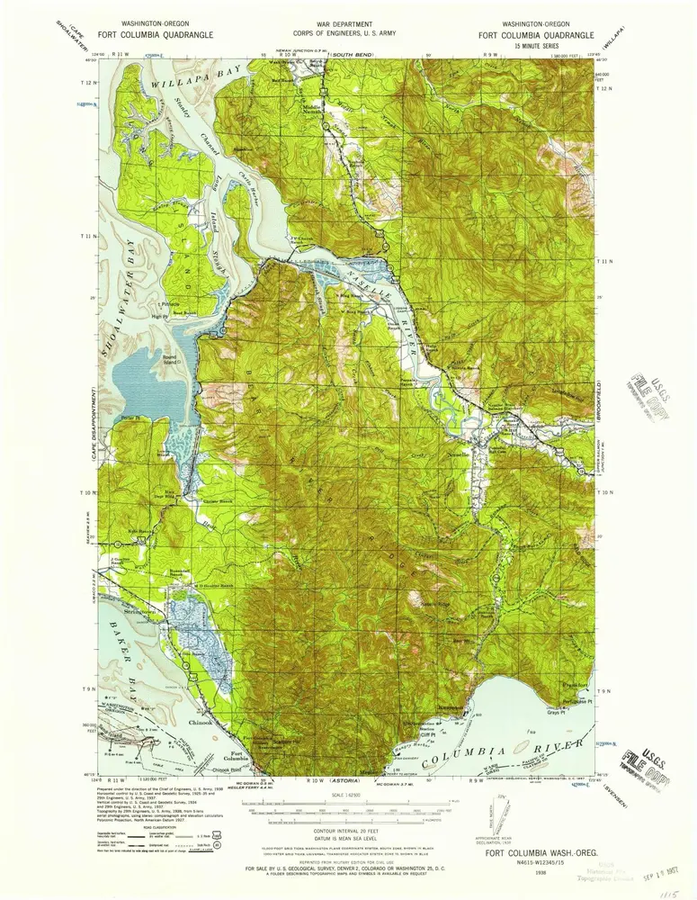
Fort Columbia
1938
1:63k
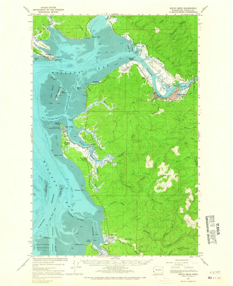
South Bend
1957
1:63k
Raymond
1955
1:63k
Raymond
1955
1:63k
Raymond
1955
1:63k
South Bend
1940
1:63k
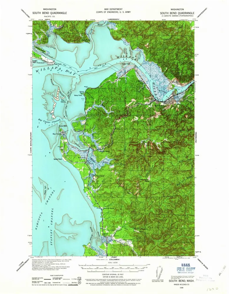
South Bend
1938
1:63k
Geschichte