Project
Gemeenschap
Nieuws
Mijn app
Mijn kaarten
Mapa catalogado
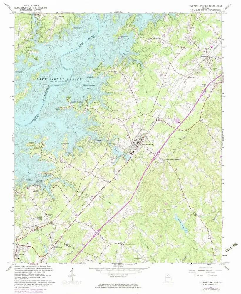
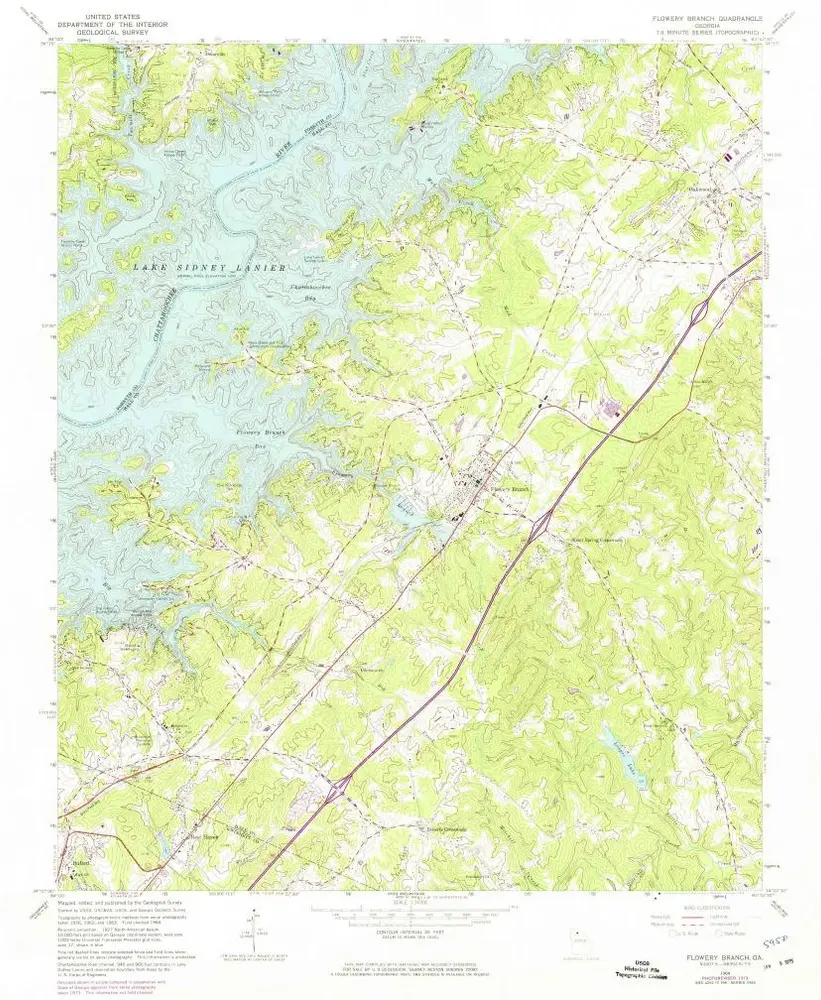
Flowery Branch
Bekijk op externe website
View digitized
Institución:
United States Geological Survey
Título completo:
Flowery Branch
Año de ilustración:
1964
Fecha de publicación:
1974
Escala del mapa:
1:24 000
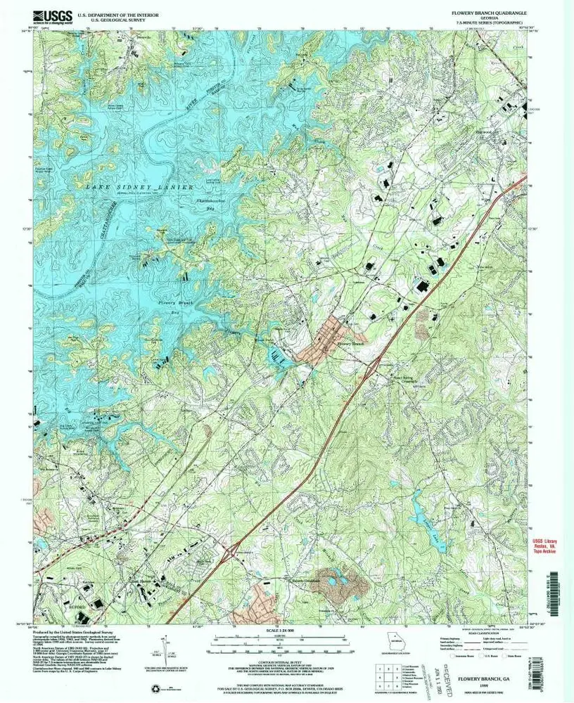
Flowery Branch
1999
1:24k
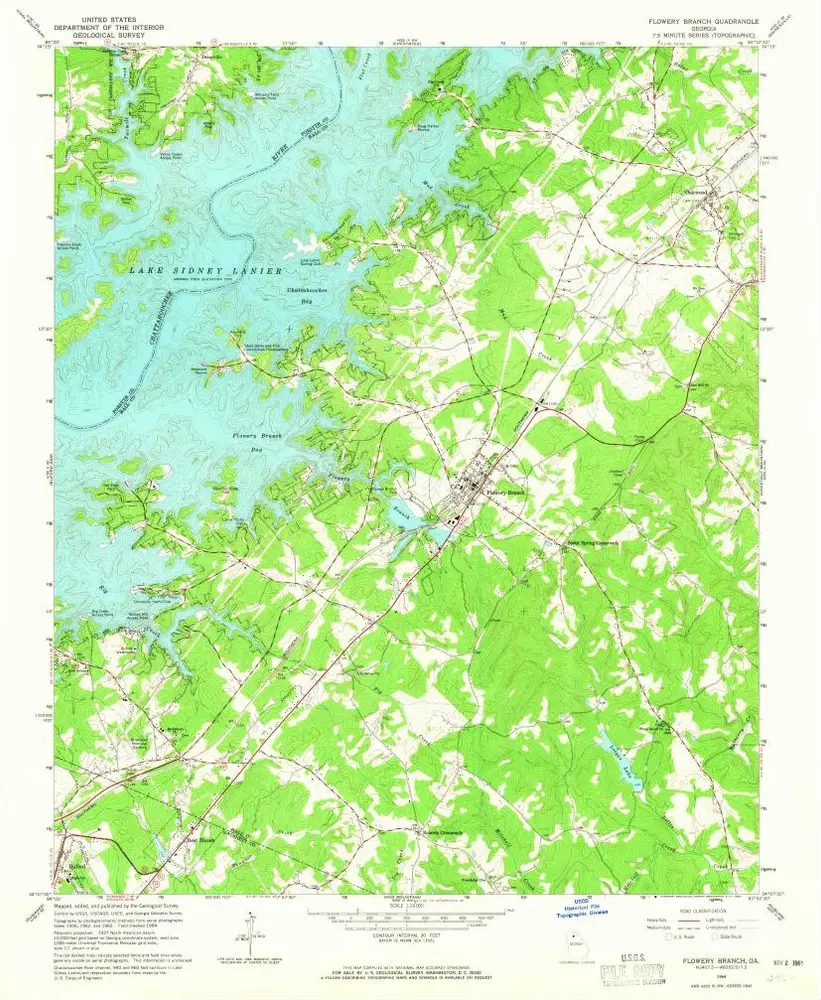
Flowery Branch
1964
1:24k
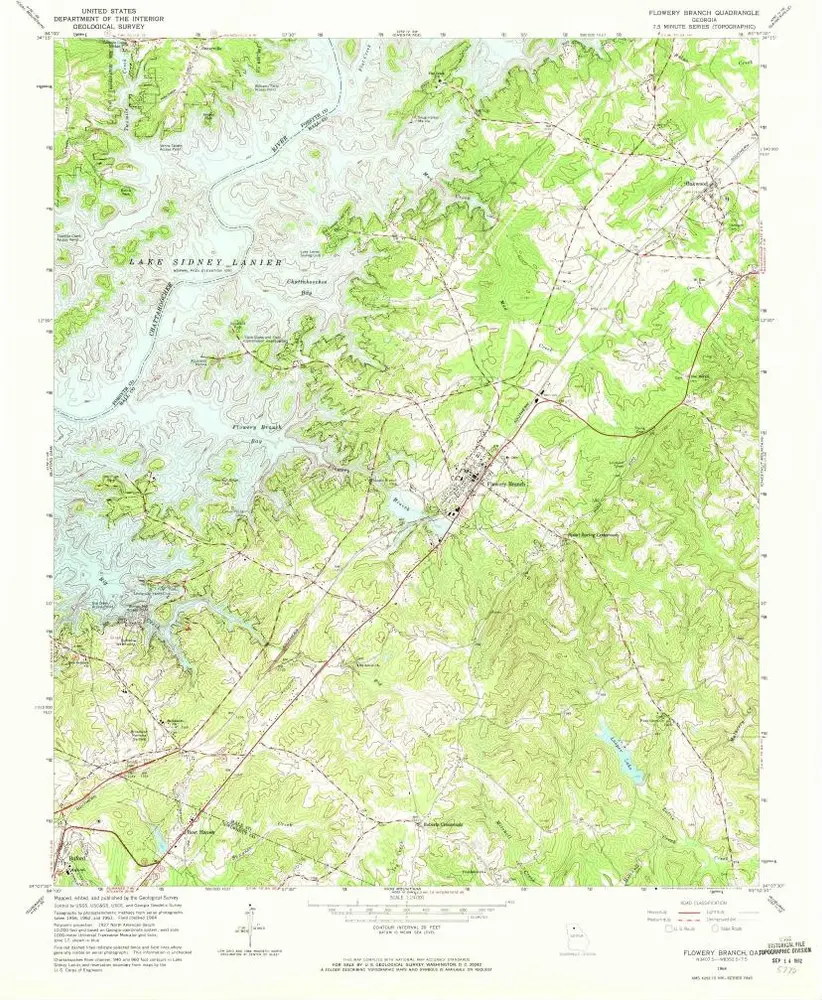
Flowery Branch
1964
1:24k
Flowery Branch
1964
1:24k
Flowery Branch
1964
1:24k
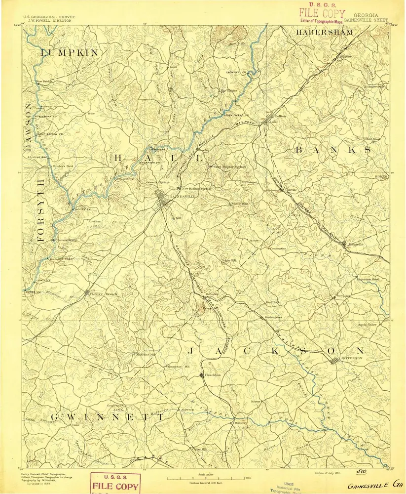
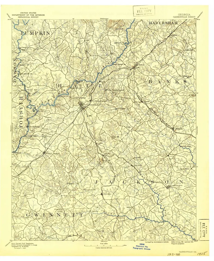
Gainesville
1891
1:125k
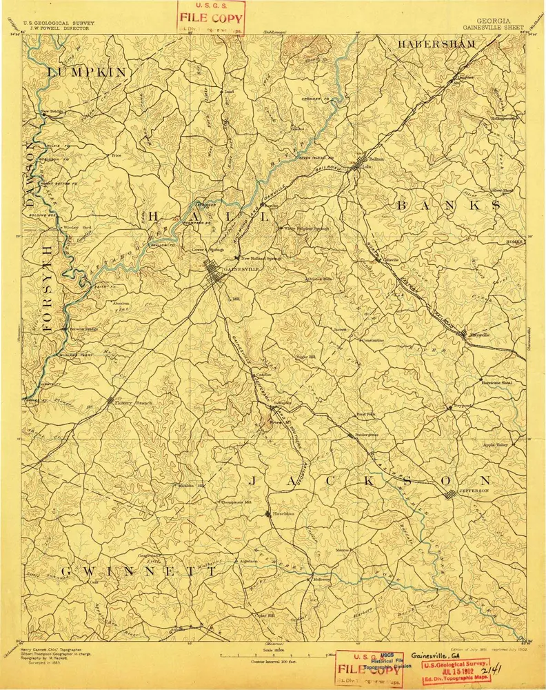
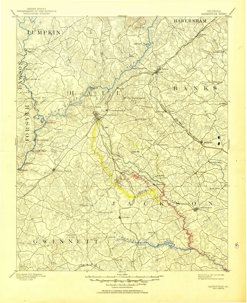
Gainesville
1891
1:125k
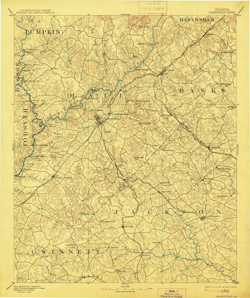
Gainesville
1891
1:125k
Gainesville
1891
1:125k
Gainesville
1891
1:125k
Historia