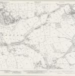
Skatalogowana mapa
Derbyshire XXXV.12 (includes: Alfreton; Shirland and Higham; South Normanton) - 25 Inch Map

Instytucja:National Library of Scotland
Pełny tytuł:Derbyshire XXXV.12 (includes: Alfreton; Shirland and Higham; South Normanton) - 25 Inch Map
Rok ilustracji:1876 - 1879
Data publikacji:1880
Wydawca:Ordnance Survey
Skala mapy:1:2 500
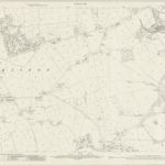
Derbyshire XXXVI.9 (includes: Kirkby in Ashfield; Pinxton; South Normanton; Sutton in Ashfield) - 25 Inch Map
1939
Ordnance Survey
1:3k
Derbyshire XXXVI.9 (includes: Kirkby in Ashfield; Pinxton; South Normanton; Sutton in Ashfield) - 25 Inch Map
1914
Ordnance Survey
1:3k
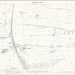
Derbyshire XXXVI.9 (includes: Kirkby in Ashfield; Pinxton; South Normanton; Sutton in Ashfield) - 25 Inch Map
1898
Ordnance Survey
1:3k
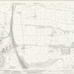
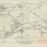
Derbyshire XXXVI.9 (includes: Kirkby in Ashfield; Pinxton; South Normanton; Sutton in Ashfield) - 25 Inch Map
1879
Ordnance Survey
1:3k
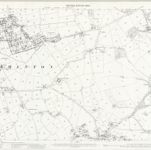
Derbyshire XXXV.12 (includes: Alfreton; Shirland and Higham; South Normanton) - 25 Inch Map
1937
Ordnance Survey
1:3k
Derbyshire XXXV.12 (includes: Alfreton; Shirland and Higham; South Normanton) - 25 Inch Map
1913
Ordnance Survey
1:3k
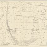
Derbyshire XXXV.12 (includes: Alfreton; Shirland and Higham; South Normanton) - 25 Inch Map
1898
Ordnance Survey
1:3k
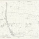
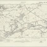
Derbyshire XXXV.12 (includes: Alfreton; Shirland and Higham; South Normanton) - 25 Inch Map
1879
Ordnance Survey
1:3k
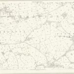
Derbyshire XXXVI.SW - OS Six-Inch Map
1938
Ordnance Survey
1:11k
Derbyshire XXXVI.SW - OS Six-Inch Map
1914
Ordnance Survey
1:11k
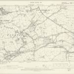
Derbyshire XXXVI.SW - OS Six-Inch Map
1898
Ordnance Survey
1:11k
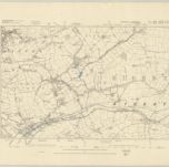
Nottinghamshire XXVII.SW - OS Six-Inch Map
1879
Ordnance Survey
1:11k