Mappa catalogata
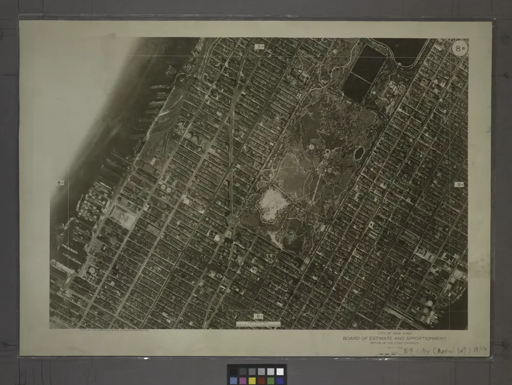
8B - N.Y. City (Aerial Set).

Titolo completo:8B - N.Y. City (Aerial Set).
Anno di illustrazione:1924
Dimensione fisica:20 x 30 cm
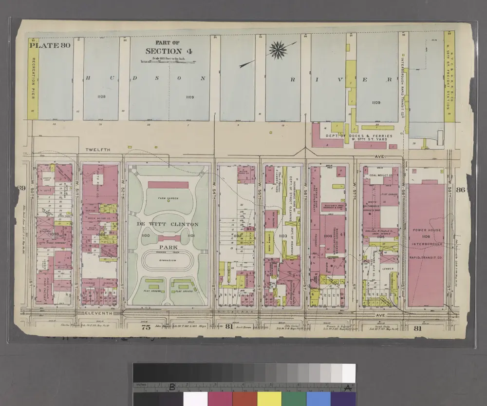
Part of Section 4 : Plate 80.
1916
8A - N.Y. City (Aerial Set).
1924
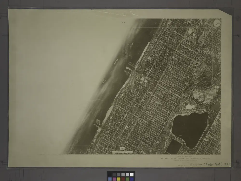
5D - N.Y. City (Aerial Set).
1924
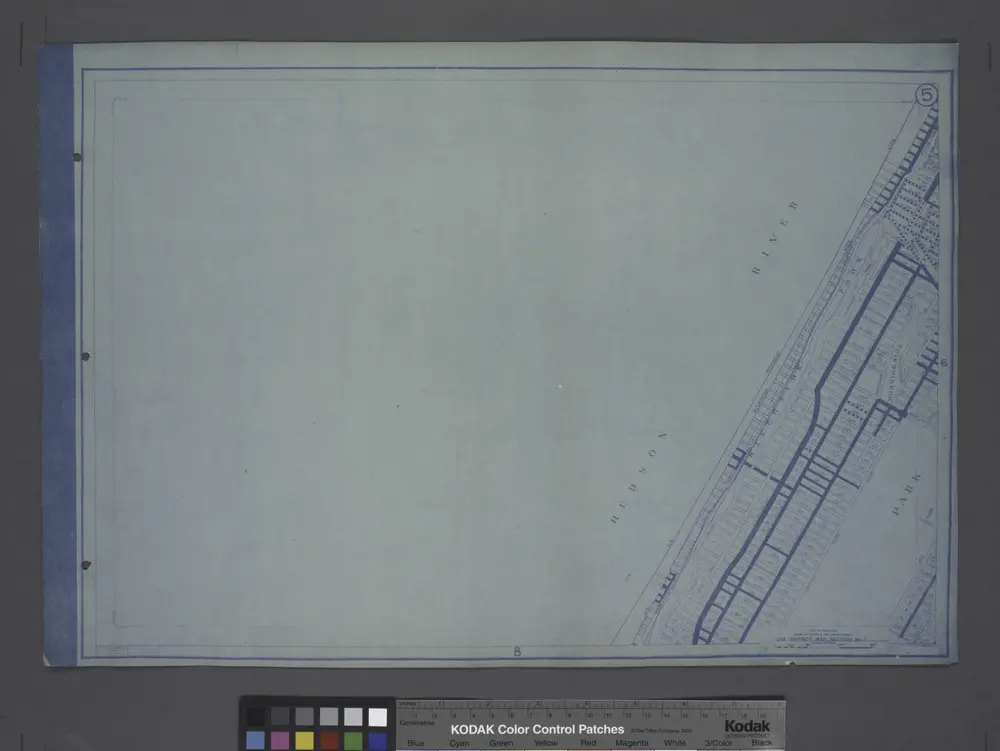
Use District Map Section No. 5
1916
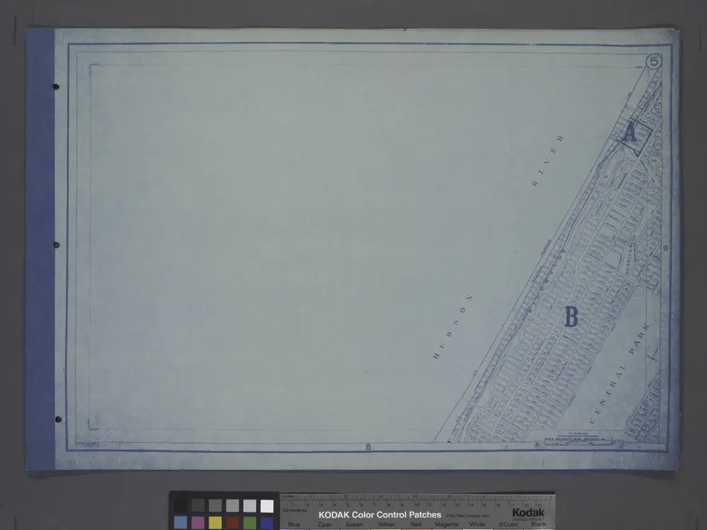
Area District Map Section No. 5
1916
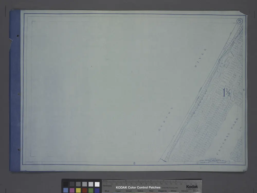
Height District Map Section No. 5; Height district map / City of New York, Board of Estimate and Apportionment.
1916
8B - N.Y. City (Aerial Set).
1924
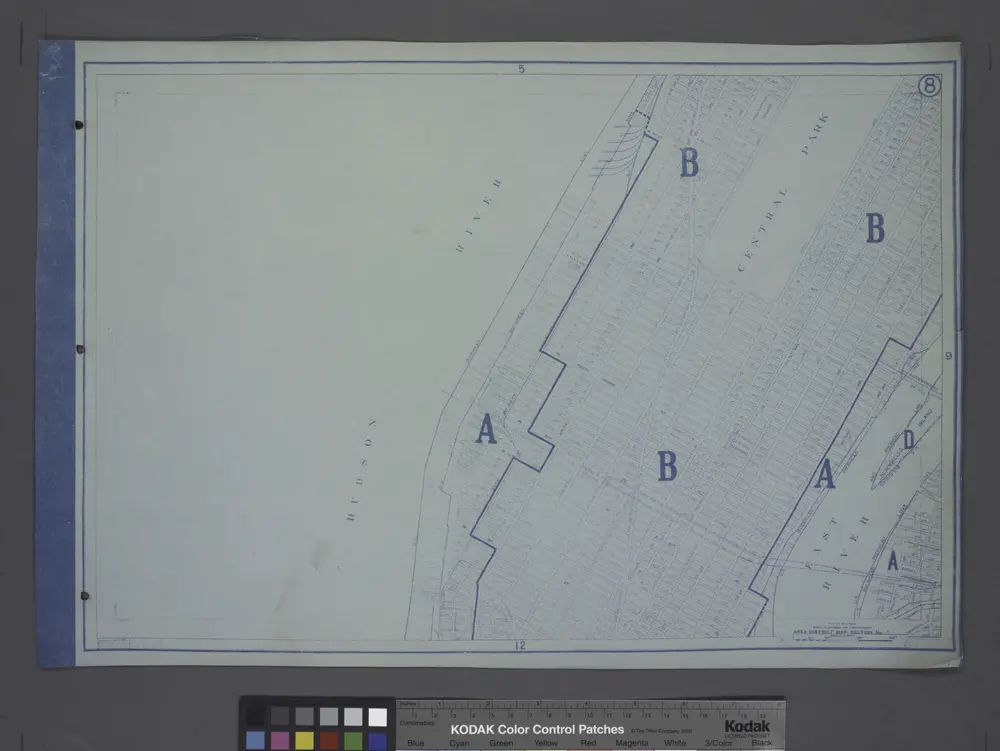
Area District Map Section No. 8
1916
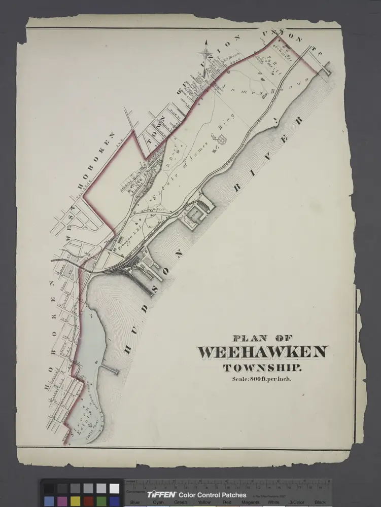
Plan of Weehawken township.
1873
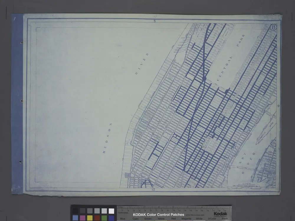
Use District Map Section No. 8
1916