Project
Gemeenschap
Nieuws
Mijn app
Mijn kaarten
Skatalogowana mapa
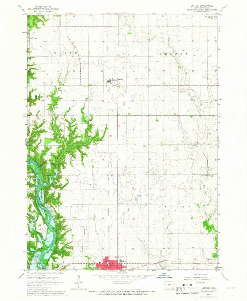
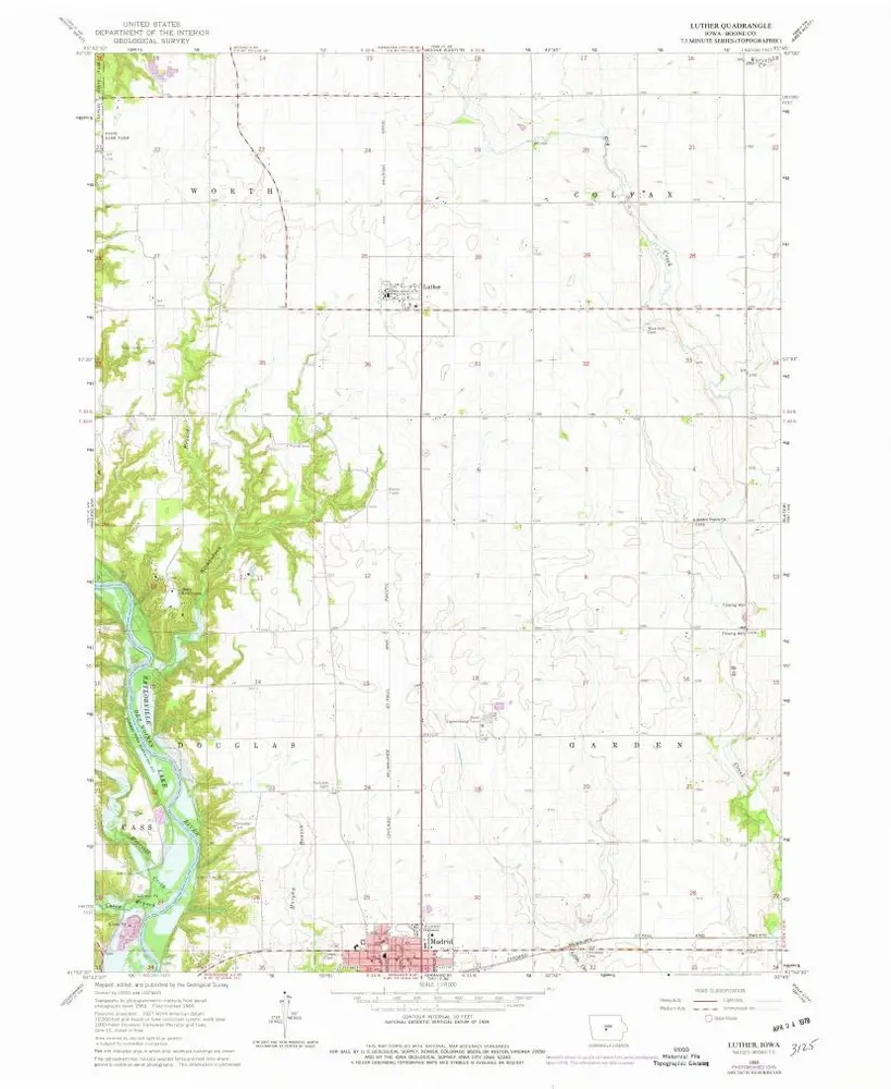
Luther
Bekijk op externe website
View digitized
Instytucja:
United States Geological Survey
Pełny tytuł:
Luther
Rok ilustracji:
1965
Data publikacji:
1967
Skala mapy:
1:24 000
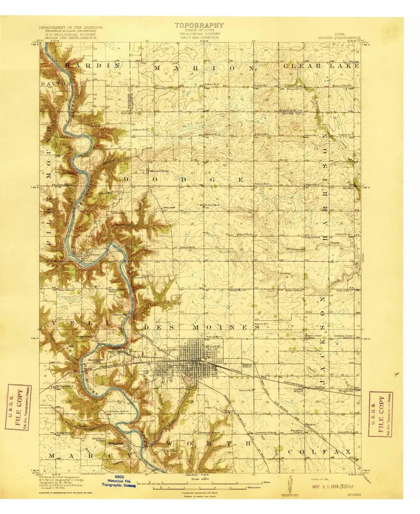
Boone
1916
1:63k
Boone
1916
1:63k
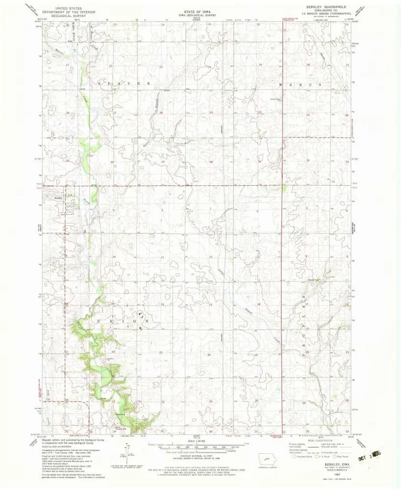
Berkley
1982
1:24k
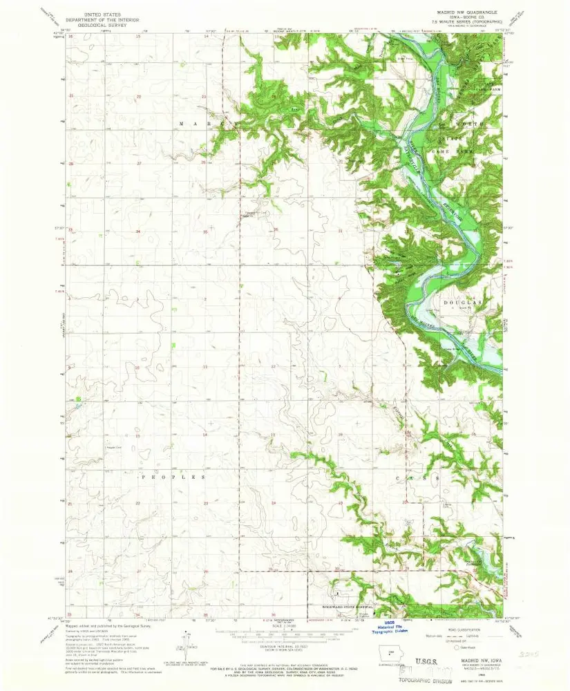
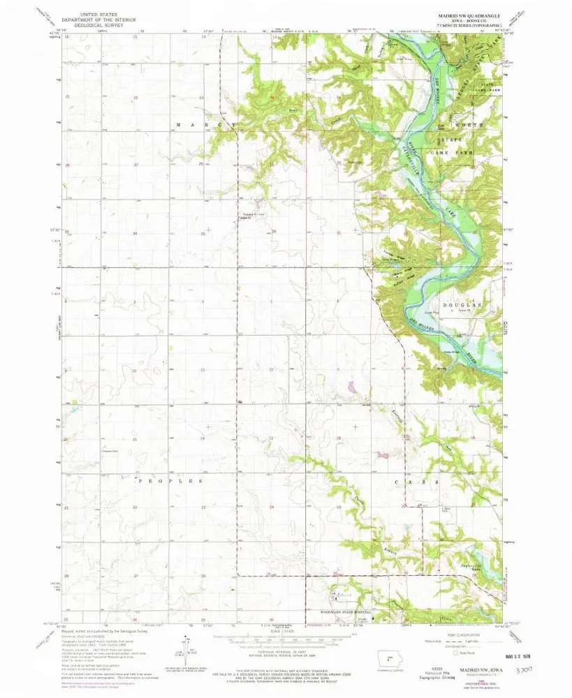
Madrid NW
1965
1:24k
Madrid NW
1965
1:24k
Luther
1965
1:24k
Luther
1965
1:24k
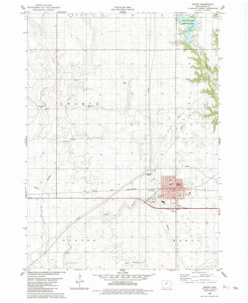
Ogden
1982
1:24k
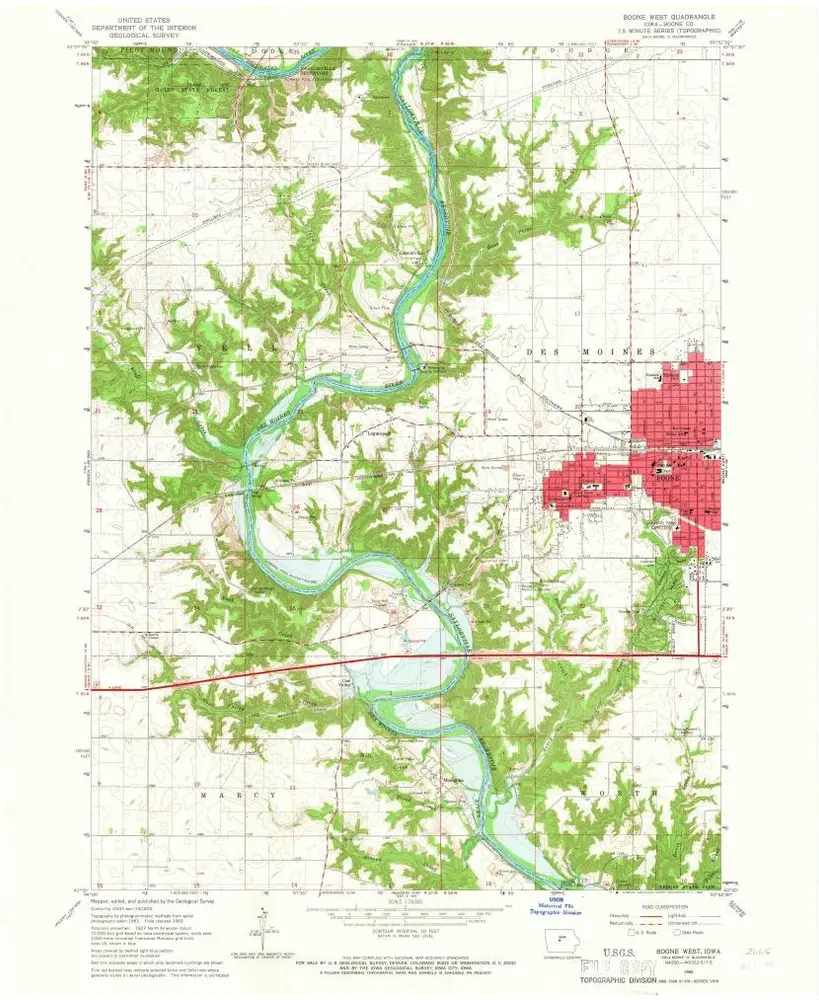
Boone West
1965
1:24k
Boone West
1965
1:24k
Boone East
1965
1:24k
Boone East
1965
1:24k
Historia