Project
Gemeenschap
Nieuws
Mijn app
Mijn kaarten
Gecatalogiseerde kaart
Mount Holly
Bekijk op externe website
Volledige titel:
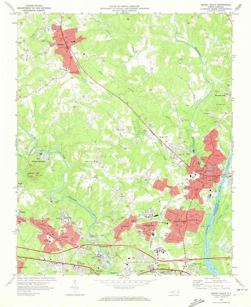
Mount Holly
Jaar illustratie:
1970
Pubdatum:
1972
Schaal kaart:
1:24 000
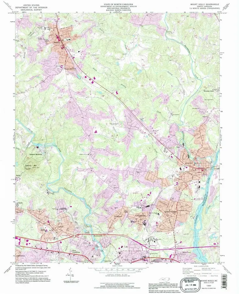
Mount Holly
1993
1:24k
Mount Holly
1970
1:24k
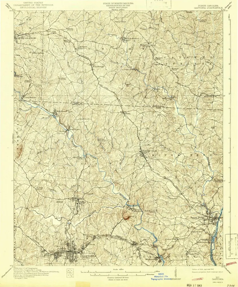
Gastonia
1916
1:63k
Gastonia
1916
1:63k
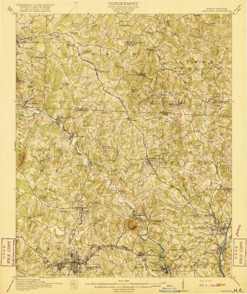
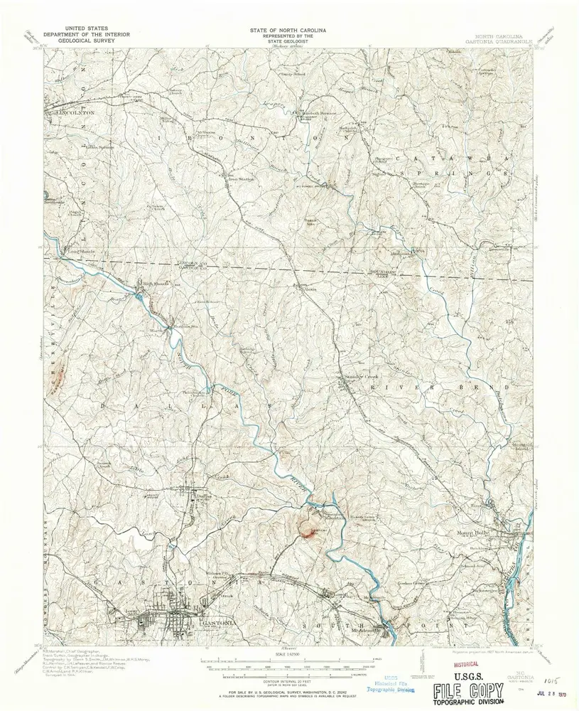
Gastonia
1914
1:63k
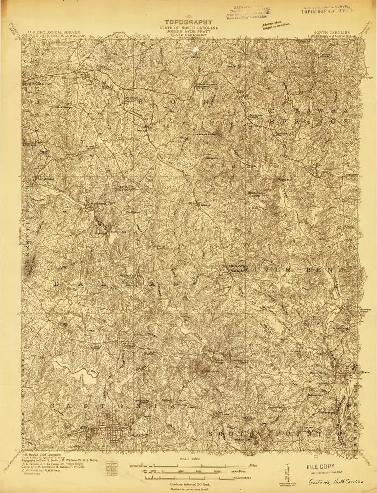
Gastonia
1914
1:48k
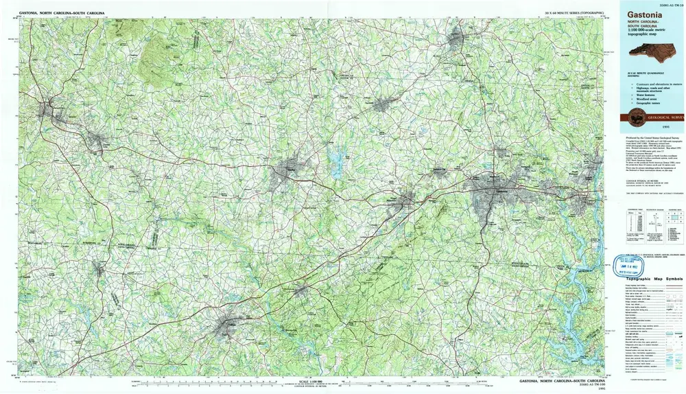
Gastonia
1991
1:100k
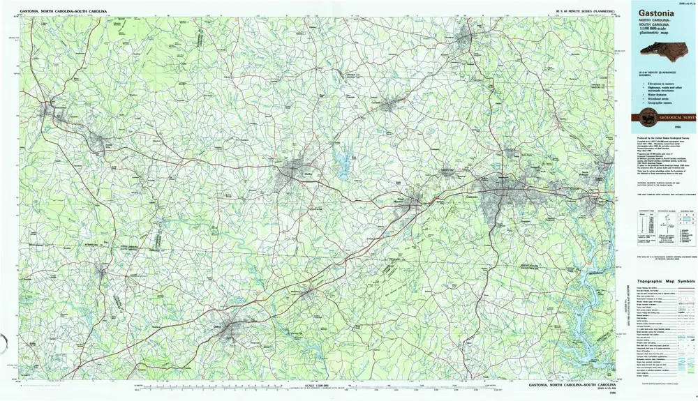
Gastonia
1986
1:100k
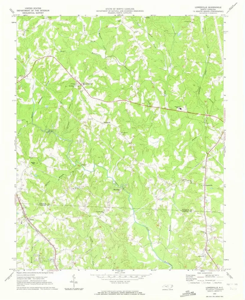
Lowesville
1970
1:24k
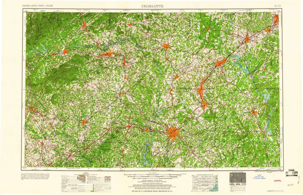
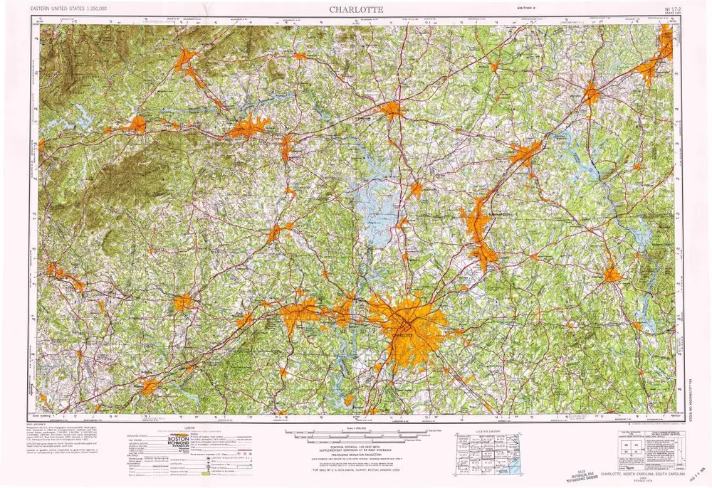
Charlotte
1960
1:250k
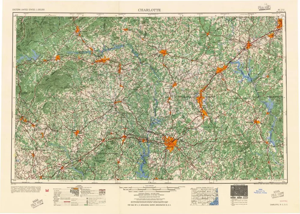
Charlotte
1954
1:250k
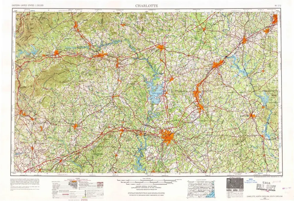
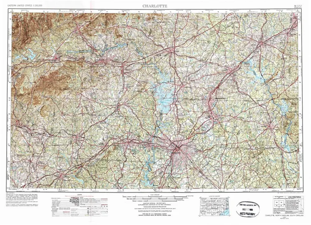
Charlotte
1953
1:250k
Charlotte
1953
1:250k
Charlotte
1953
1:250k
Geschiedenis