Project
Gemeenschap
Nieuws
Mijn app
Mijn kaarten
Katalogisierte Karte
Catarina
Bekijk op externe website
Bekijk gedigitaliseerd
Einrichtung:
United States Geological Survey
Vollständiger Titel:
Catarina
Jahr der Abbildung:
1940
Veröffentlichungsdatum:
1965
Maßstab der Karte:
1:62 500
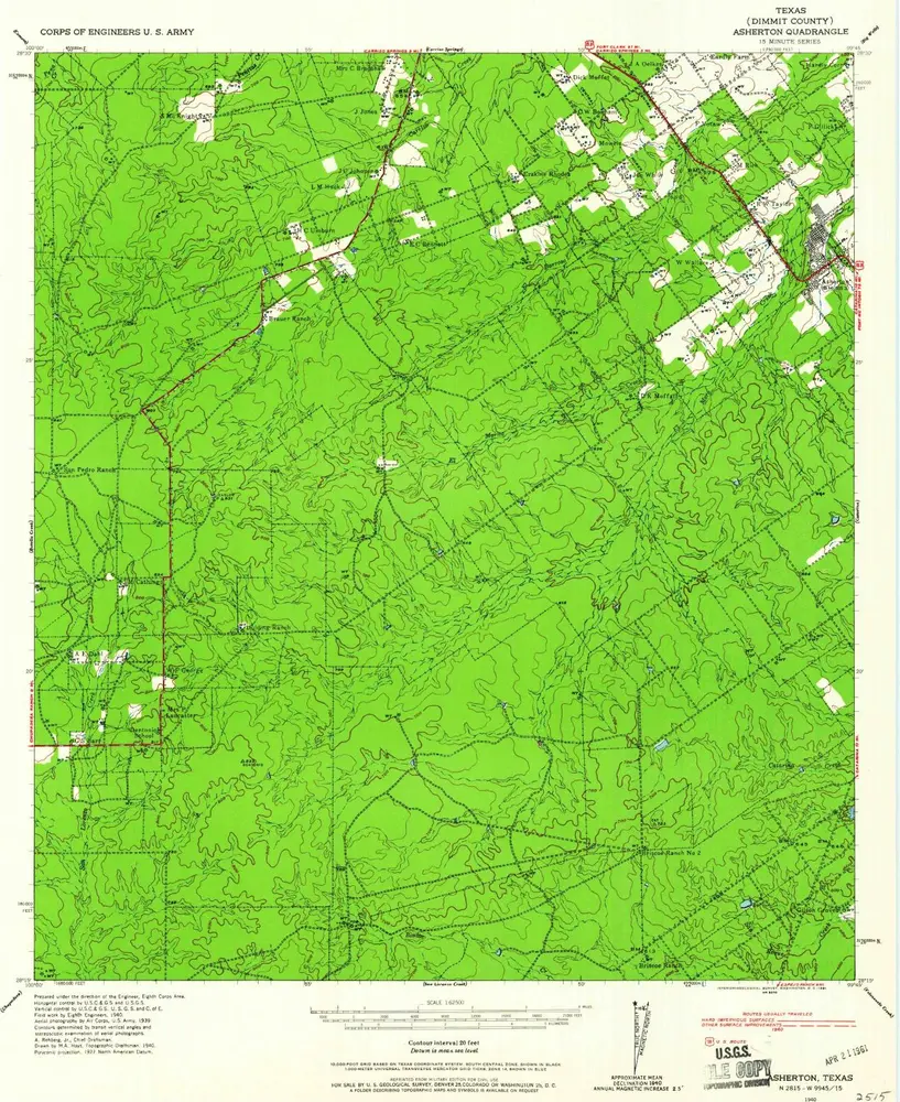
Asherton
1940
1:63k
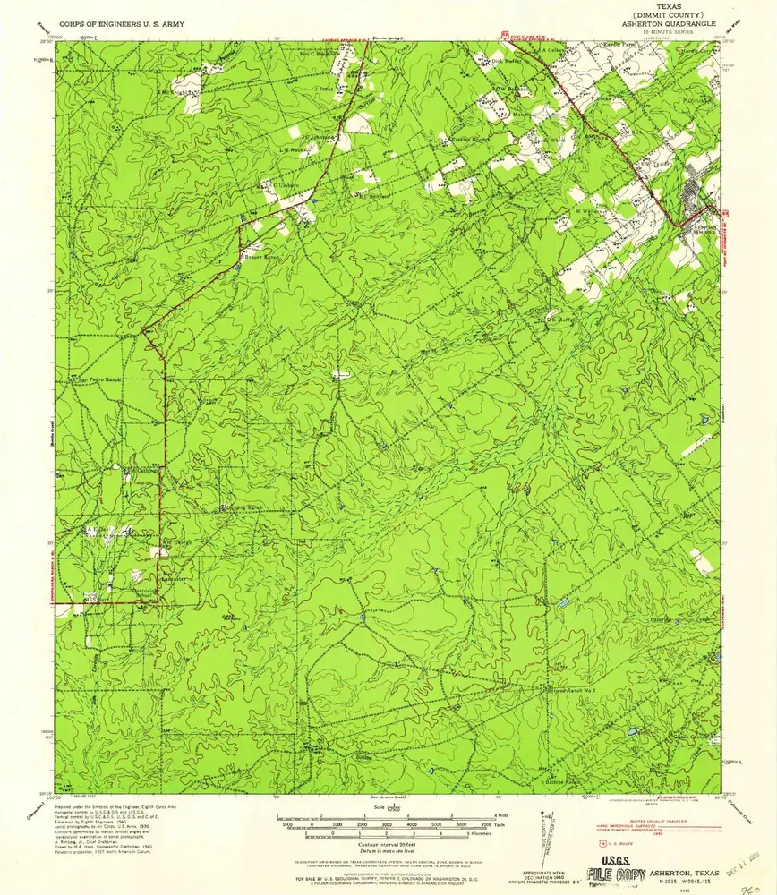
Asherton
1940
1:63k
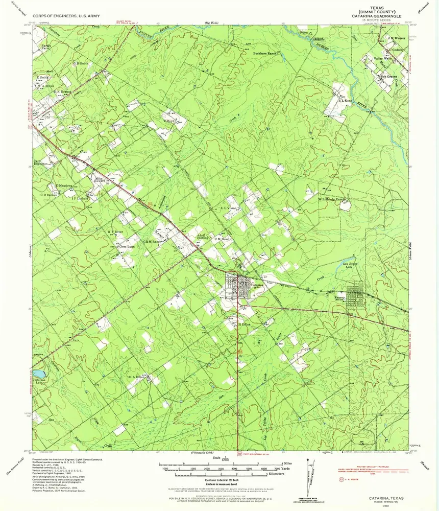
Catarina
1940
1:63k
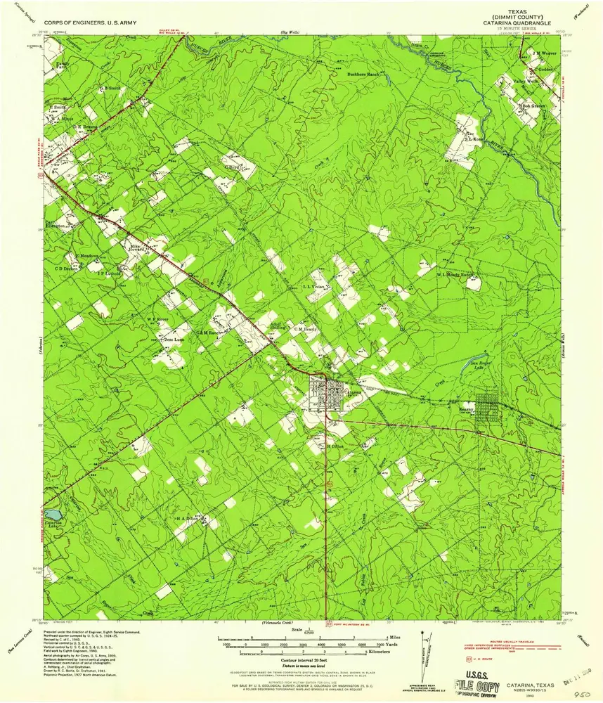
Catarina
1940
1:63k
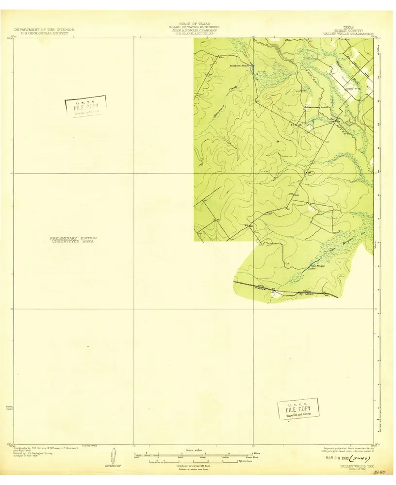
Valley Wells
1932
1:63k
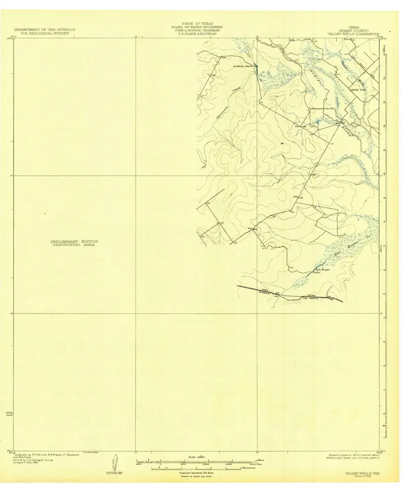
Valley Wells
1932
1:63k
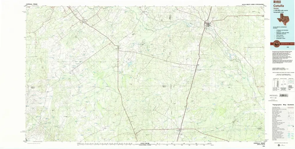
Cotulla
1985
1:100k
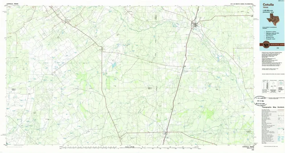
Cotulla
1985
1:100k
Cotulla
1929
1:125k
Farias Tank
1984
1:24k
Geschichte