Project
Gemeenschap
Nieuws
Mijn app
Mijn kaarten
Mapa catalogado
Cherry Point
Bekijk op externe website
View digitized
Institución:
United States Geological Survey
Título completo:
Cherry Point
Año de ilustración:
1951
Escala del mapa:
1:24 000
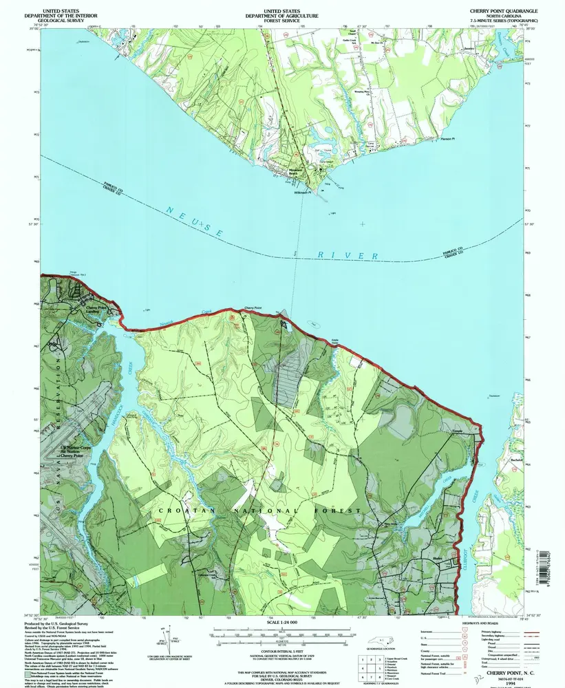
Cherry Point
1994
1:24k
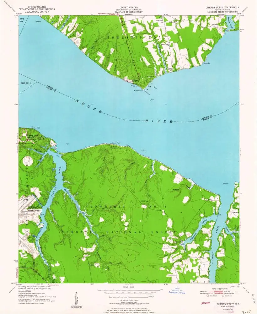
Cherry Point
1951
1:24k
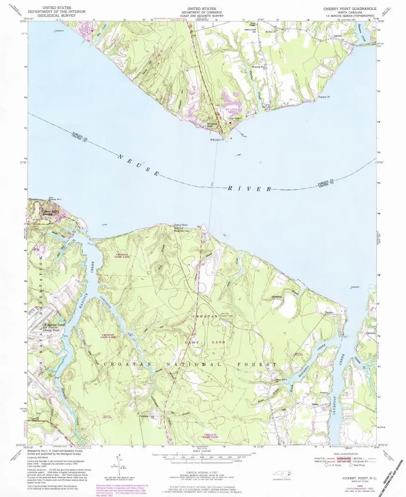
Cherry Point
1951
1:24k
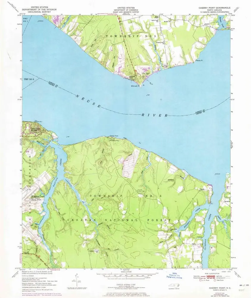
Cherry Point
1949
1:24k
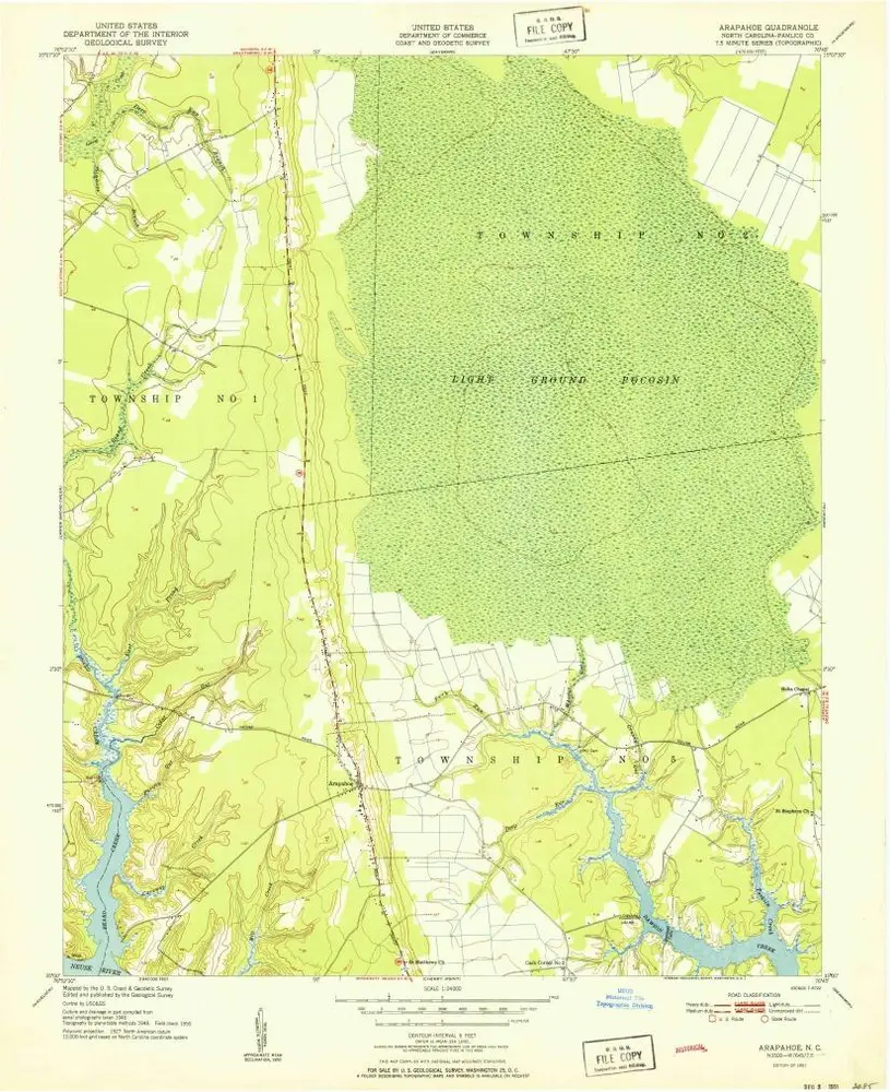
Arapahoe
1951
1:24k
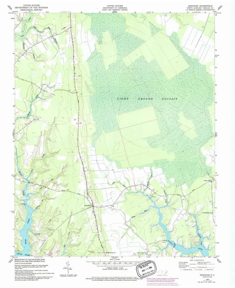
Arapahoe
1950
1:24k
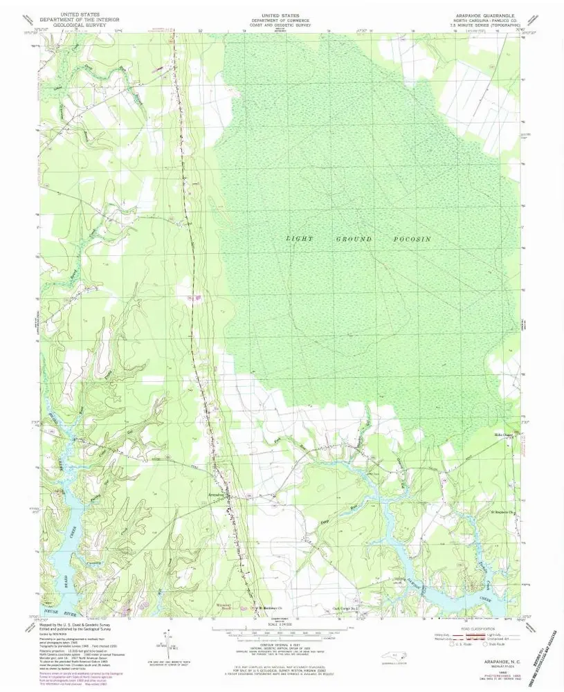
Arapahoe
1950
1:24k
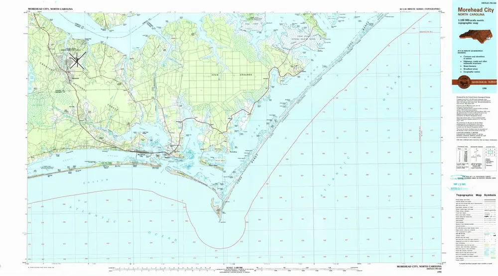
Morehead City
1990
1:100k
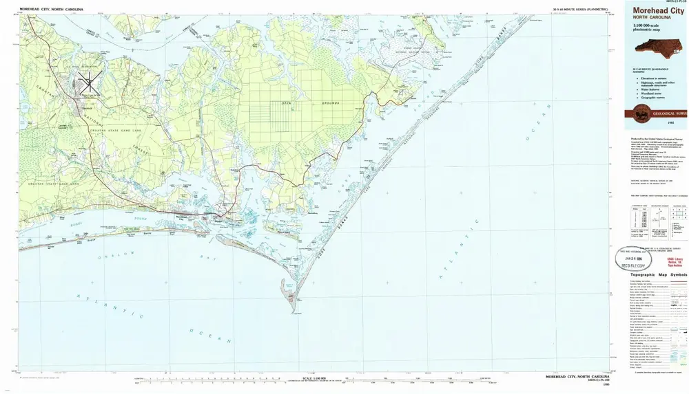
Morehead City
1985
1:100k
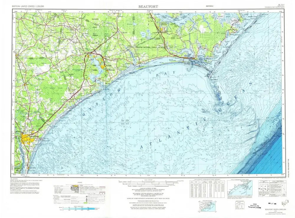
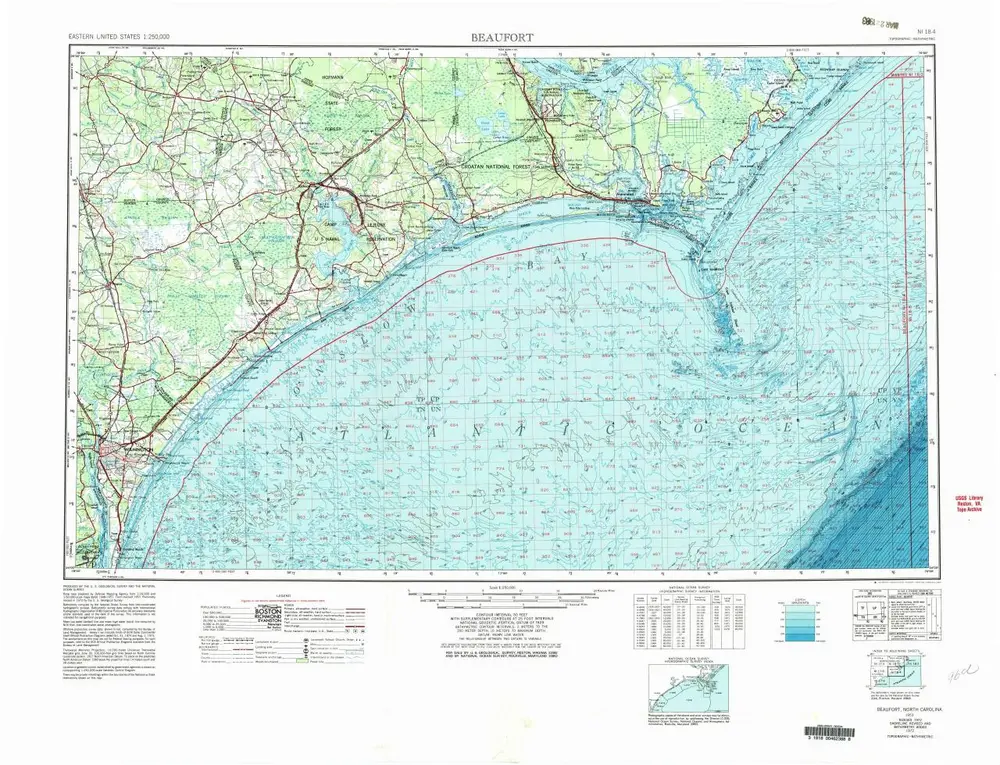
Beaufort
1972
1:250k
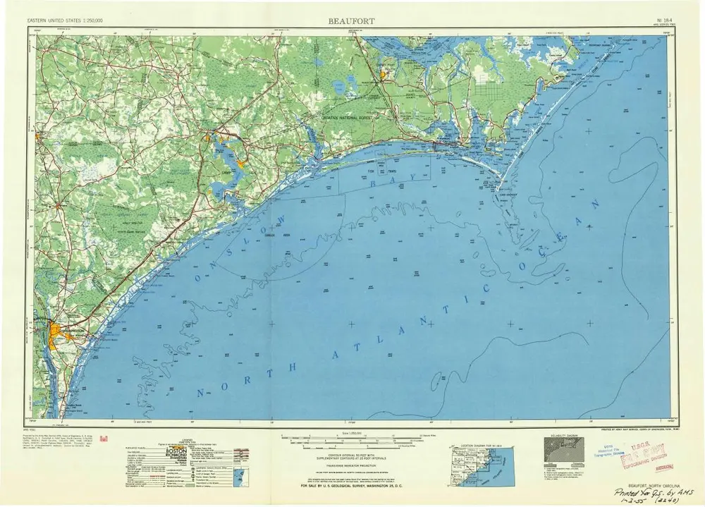
Beaufort
1954
1:250k
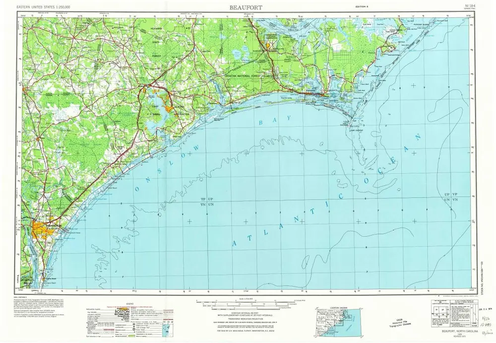
Beaufort
1953
1:250k
Beaufort
1953
1:250k
Historia