Project
Gemeenschap
Nieuws
Mijn app
Mijn kaarten
Skatalogowana mapa
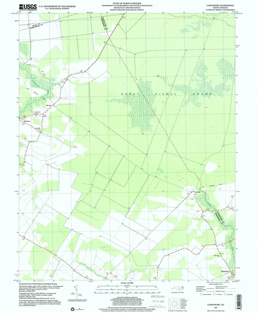
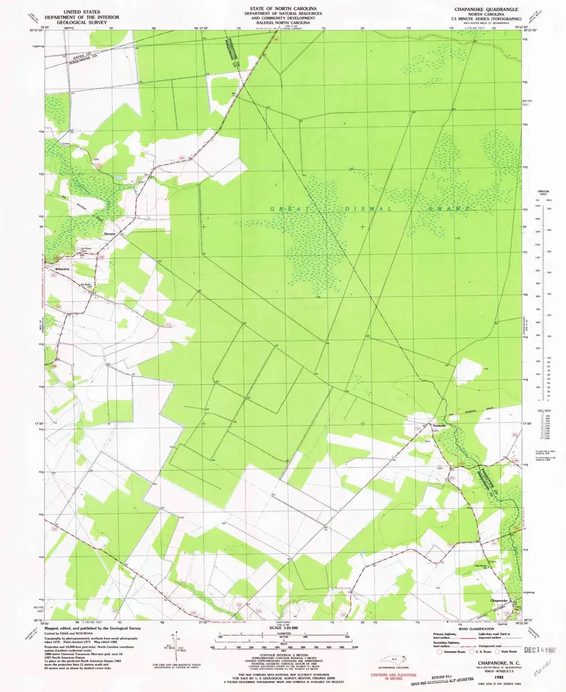
Chapanoke
Bekijk op externe website
View digitized
Instytucja:
United States Geological Survey
Pełny tytuł:
Chapanoke
Rok ilustracji:
1997
Data publikacji:
2000
Skala mapy:
1:24 000
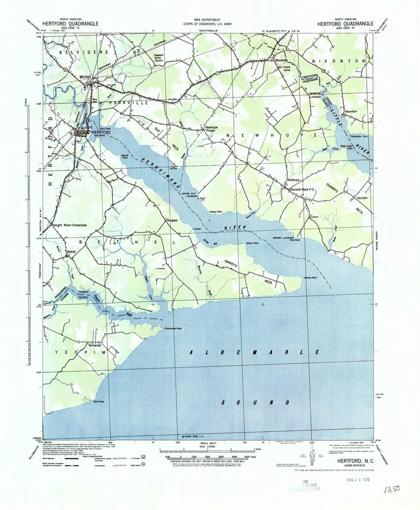
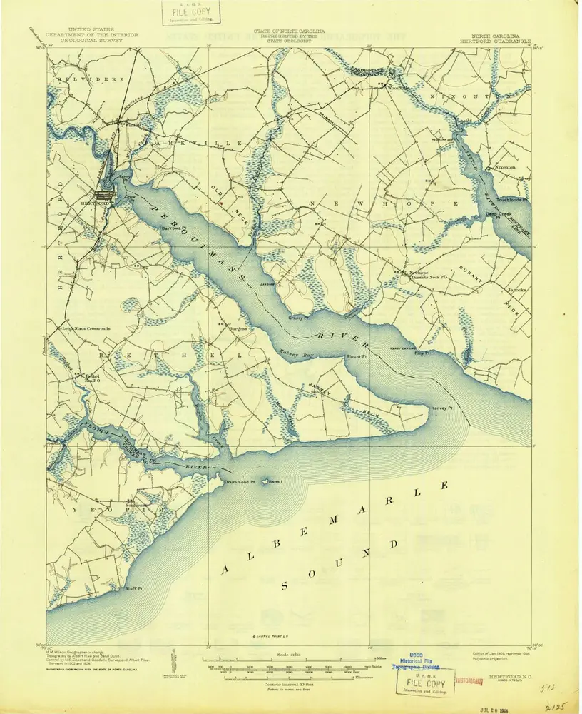
Hertford
1940
1:63k
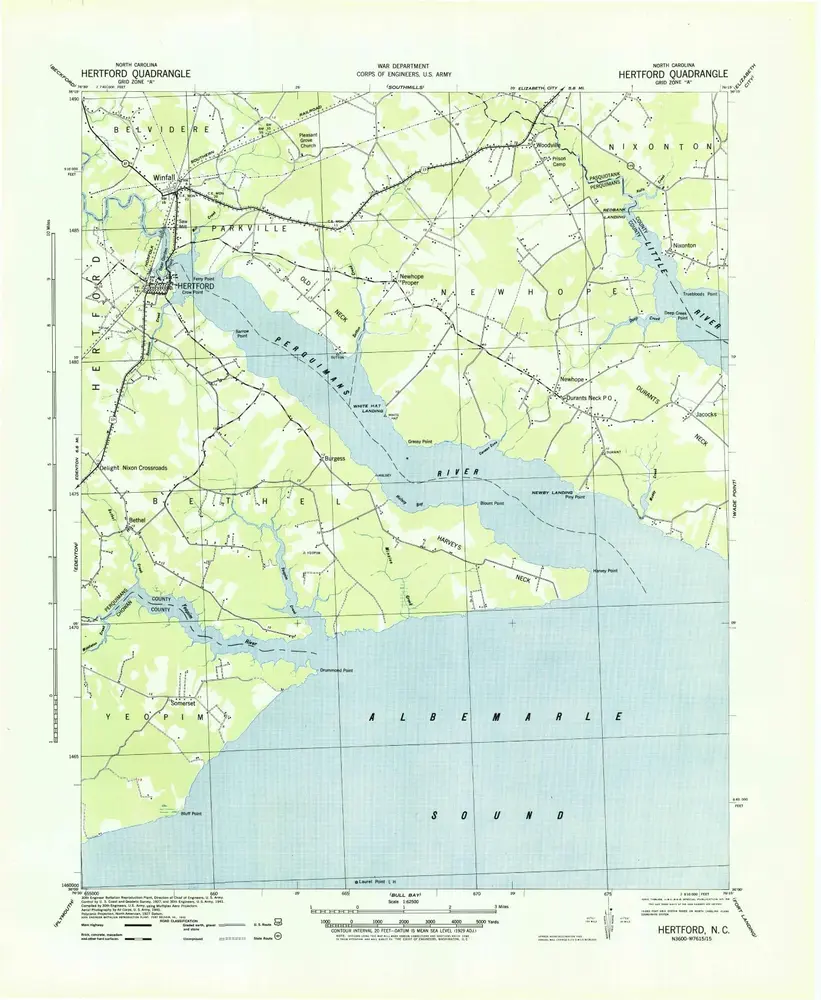
Hertford
1940
1:63k
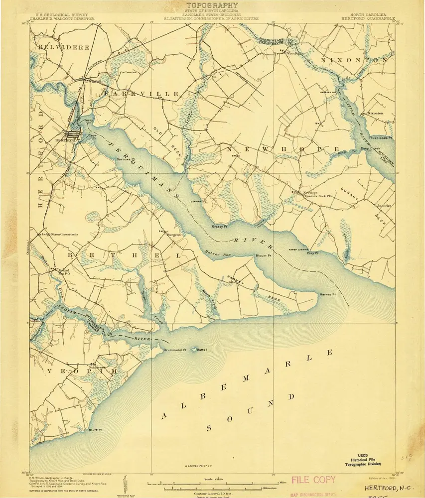
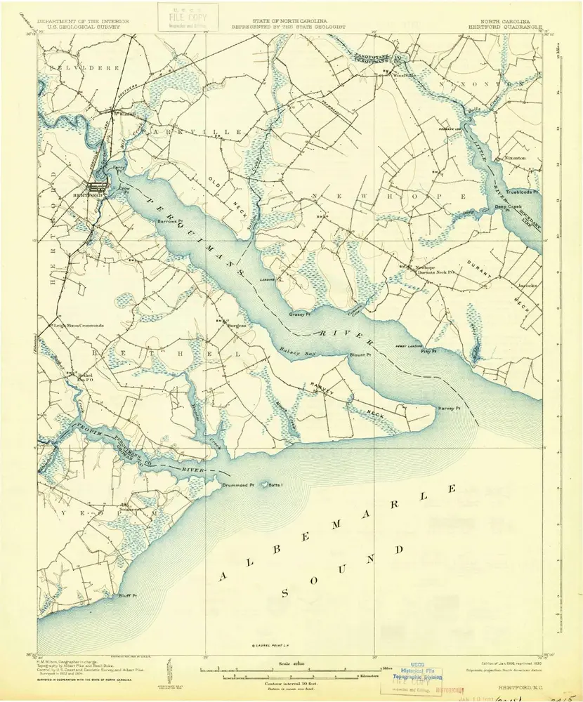
Hertford
1906
1:63k
Hertford
1906
1:63k
Hertford
1906
1:63k
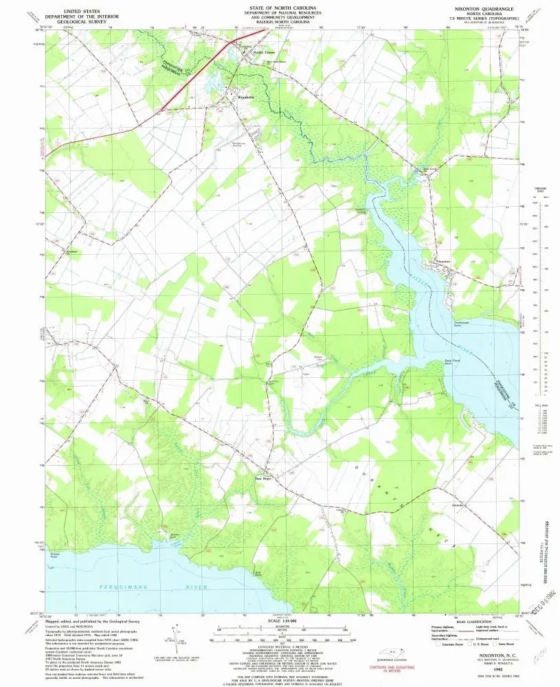
Nixonton
1982
1:24k
Chapanoke
1997
1:24k
Chapanoke
1982
1:24k
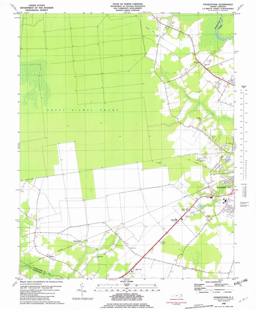
Pasquotank
1982
1:24k
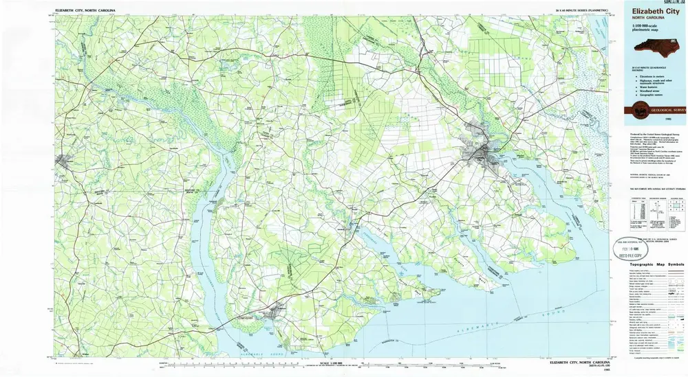
Elizabeth City
1985
1:100k
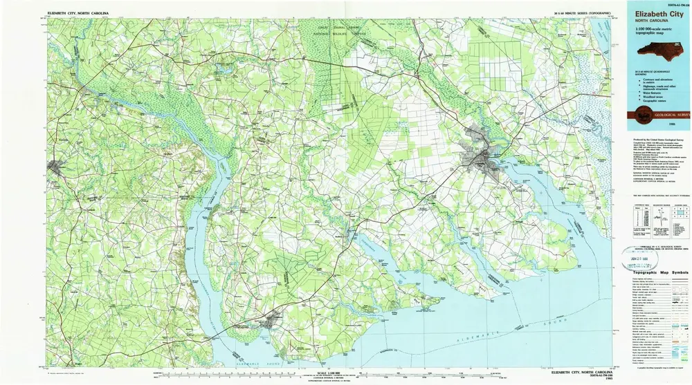
Elizabeth City
1985
1:100k
Historia