Katalogisierte Karte
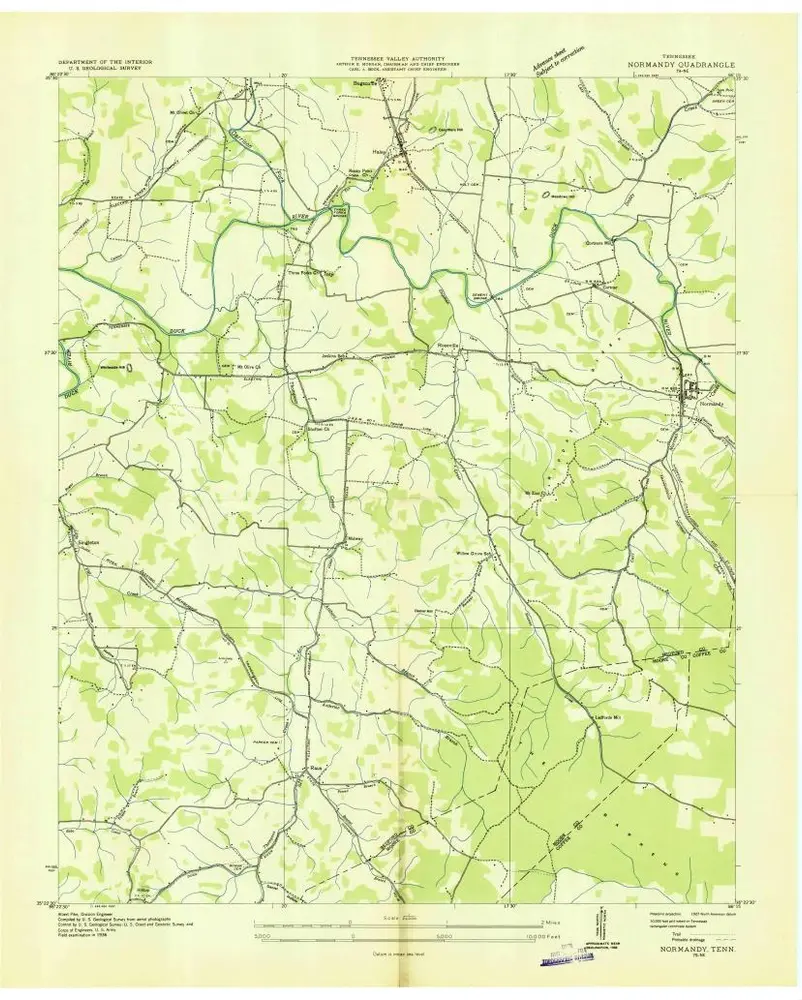
Normandy

Einrichtung:United States Geological Survey
Vollständiger Titel:Normandy
Jahr der Abbildung:1947
Veröffentlichungsdatum:1971
Maßstab der Karte:1:24 000
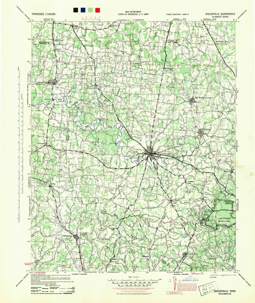
Shelbyville
1944
1:100k
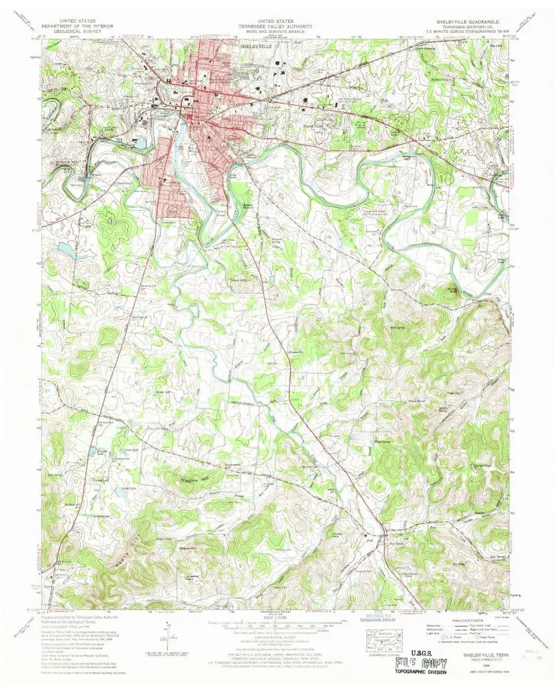
Shelbyville
1966
1:24k
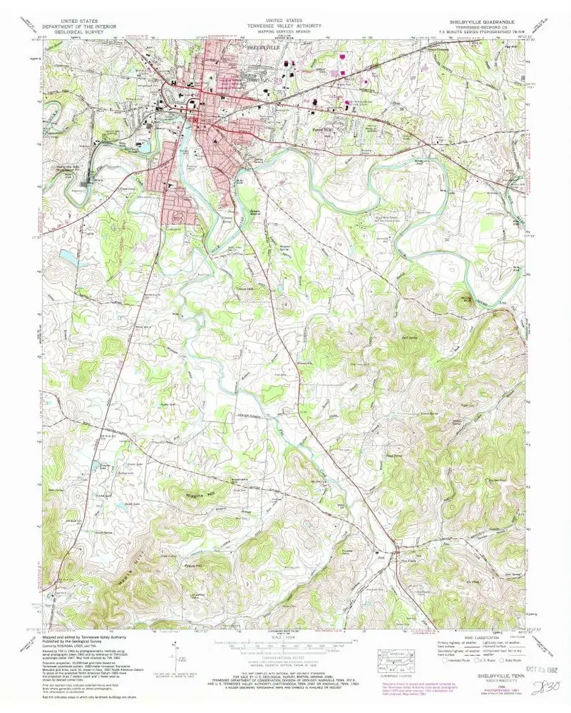
Shelbyville
1966
1:24k
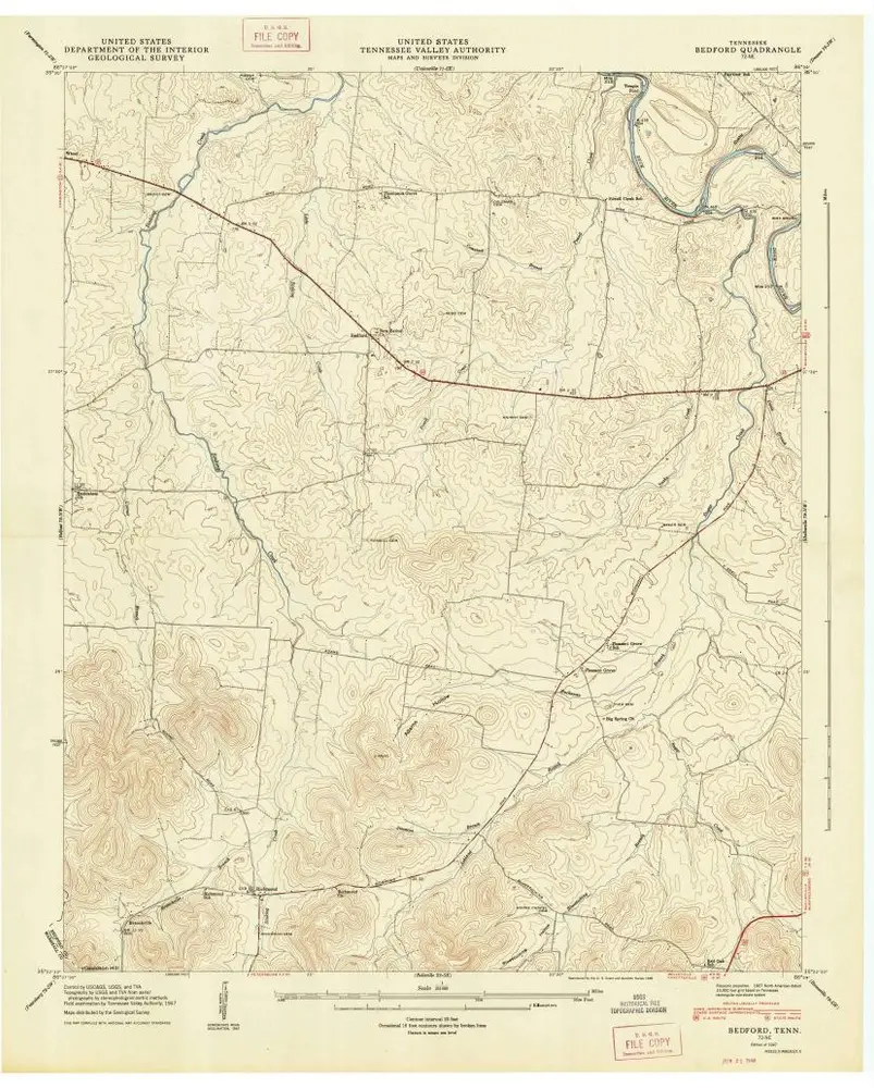
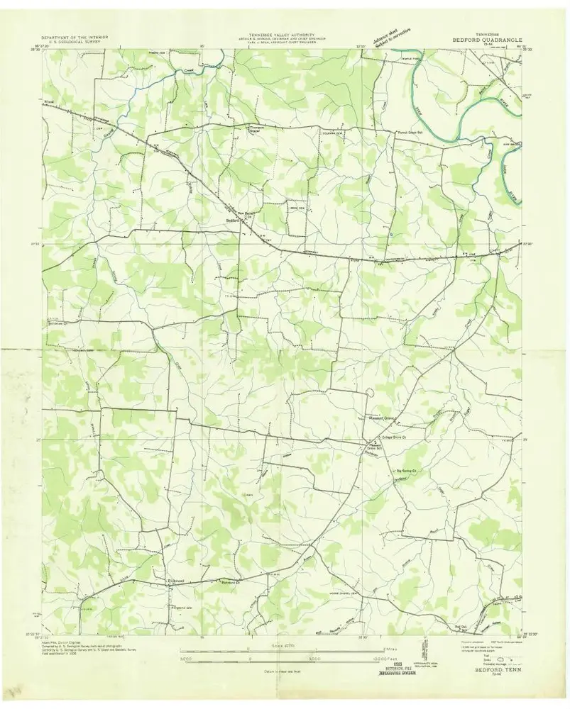
Bedford
1947
1:24k
Bedford
1947
1:24k
Bedford
1947
1:24k
Bedford
1947
1:24k
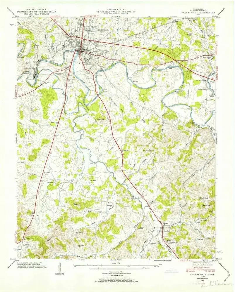
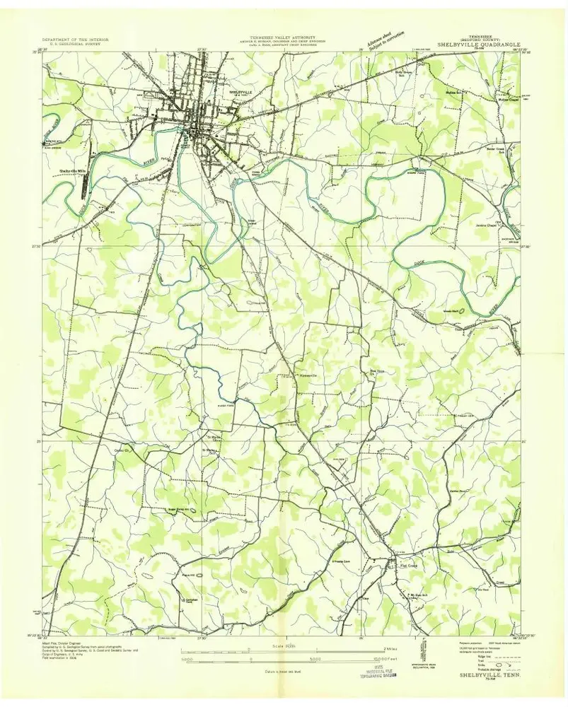
Shelbyville
1947
1:24k
Shelbyville
1947
1:24k
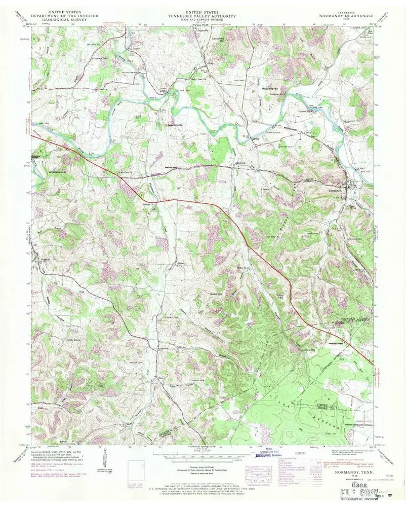
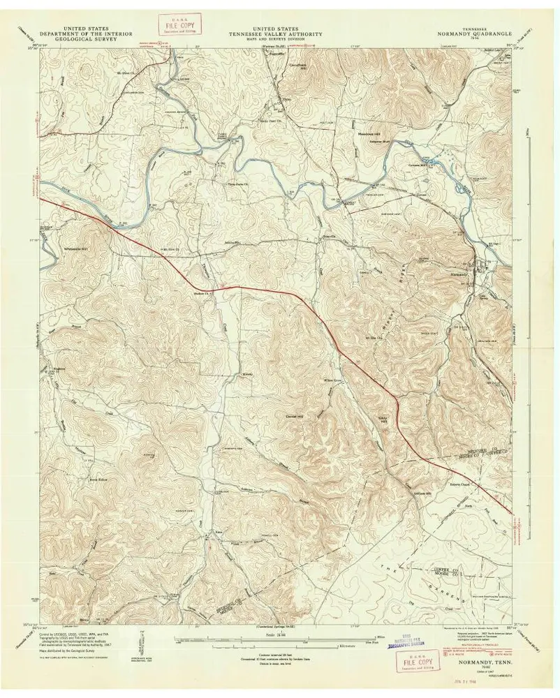
Normandy
1947
1:24k
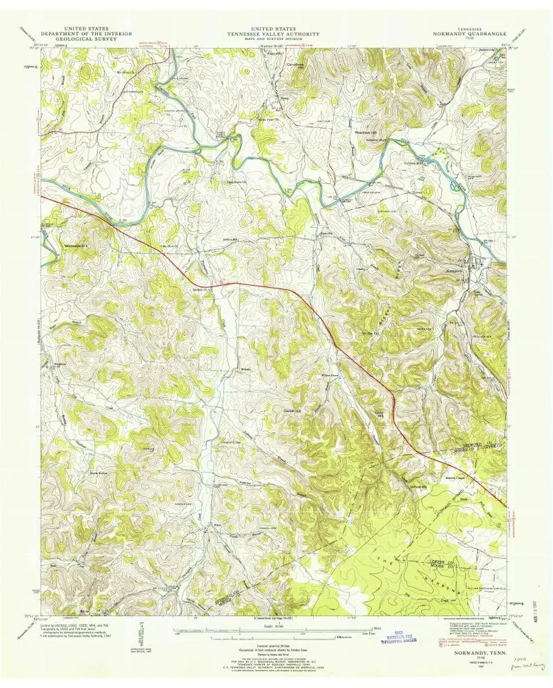
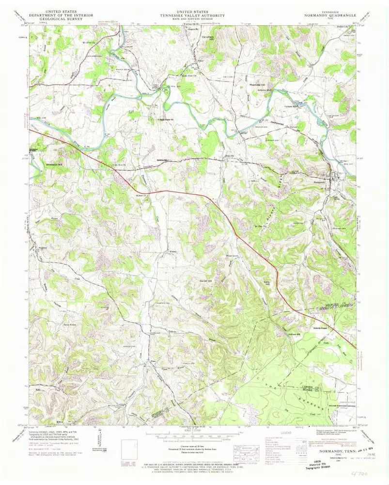
Normandy
1947
1:24k
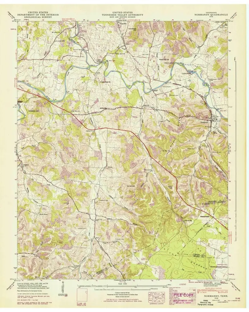
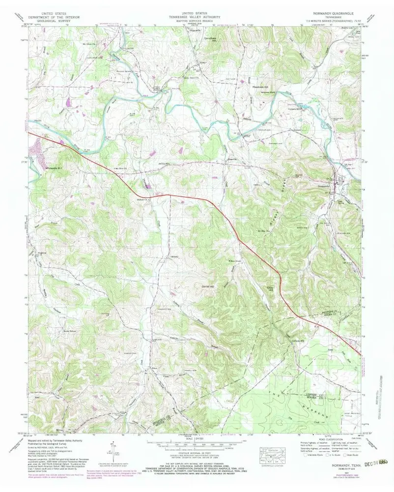
Normandy
1947
1:24k
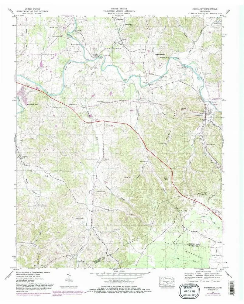
Normandy
1947
1:24k
Normandy
1947
1:24k
Normandy
1947
1:24k
Normandy
1947
1:24k
Bedford
1936
1:24k
Shelbyville
1936
1:24k
Normandy
1936
1:24k