Project
Gemeenschap
Nieuws
Mijn app
Mijn kaarten
Carte cataloguée
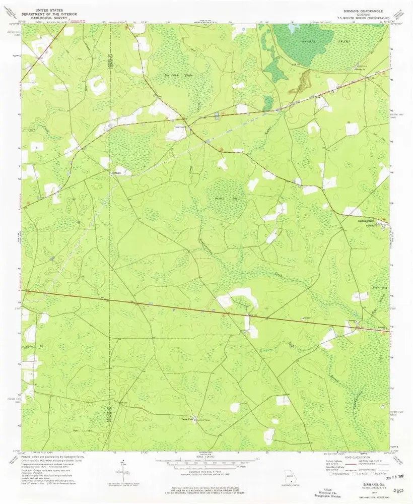
Sirmans
Bekijk op externe website
Institution:
United States Geological Survey
Titre complet:
Sirmans
Année de l'image:
1972
Date de publication:
1977
Échelle de la carte:
1:24 000
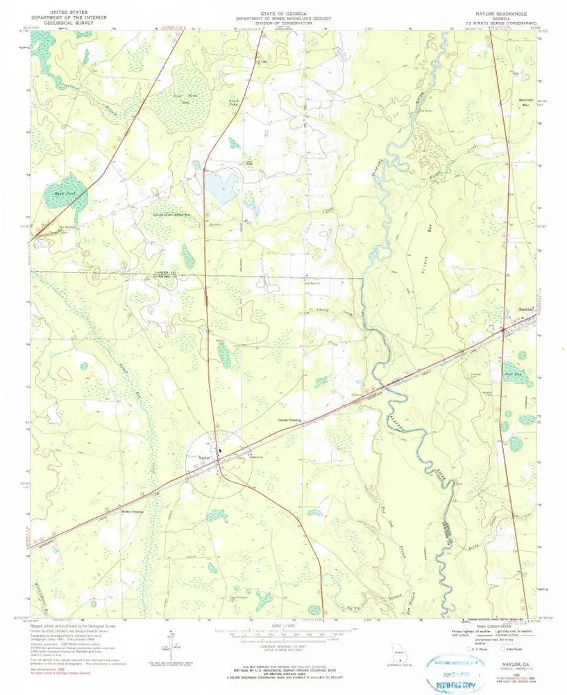
Naylor
1968
1:24k
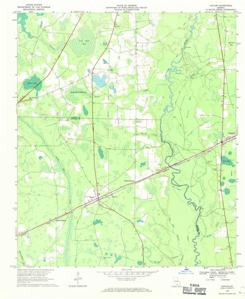
Naylor
1968
1:24k
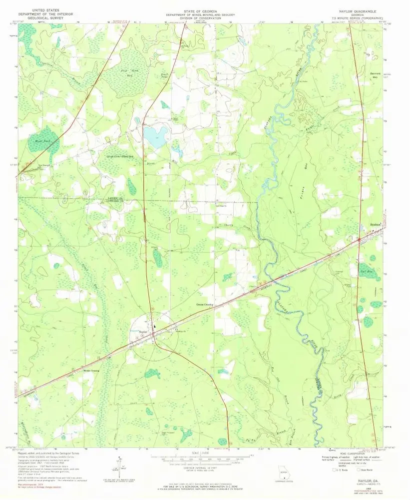
Naylor
1968
1:24k
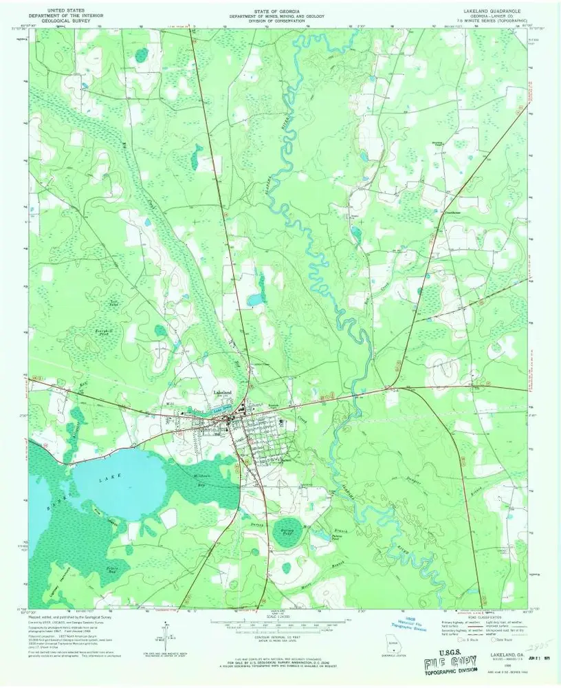
Lakeland
1968
1:24k
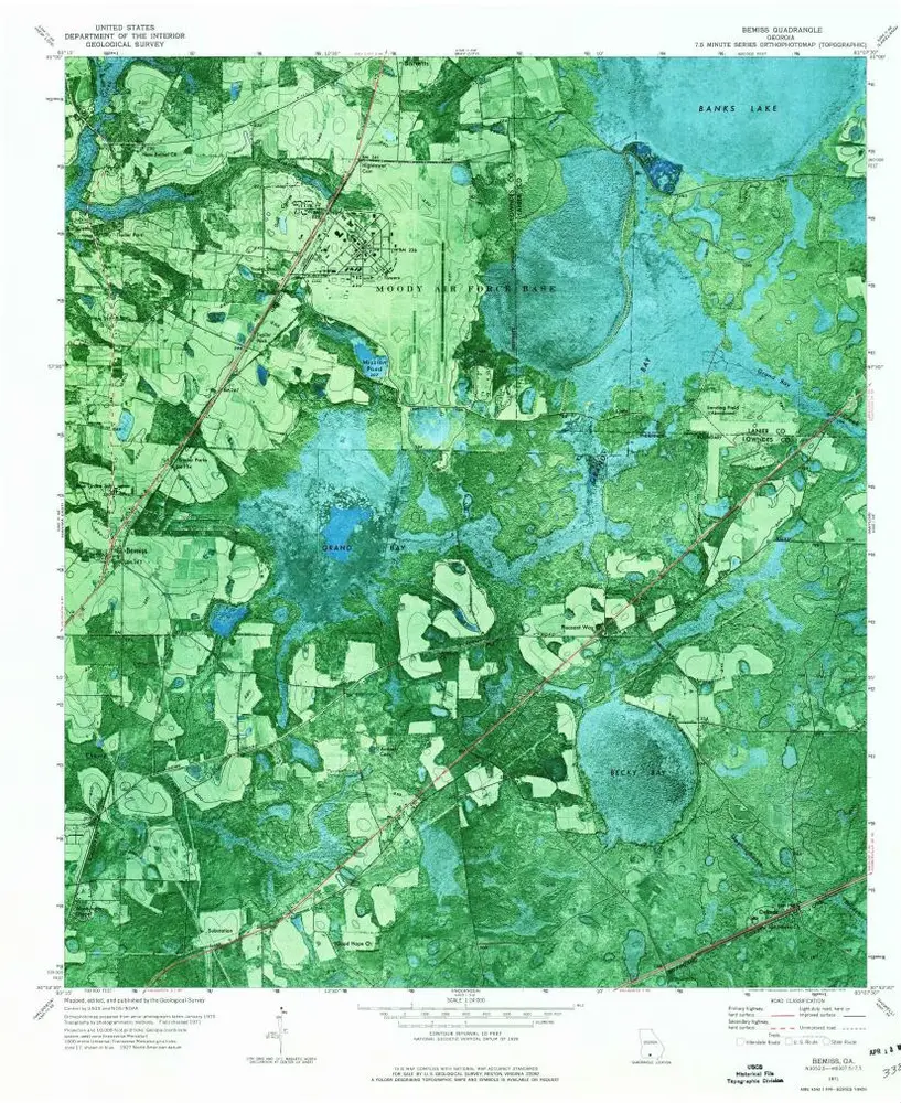
Bemiss
1971
1:24k
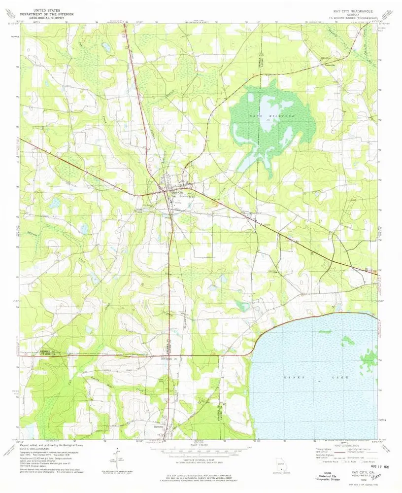
Ray City
1978
1:24k
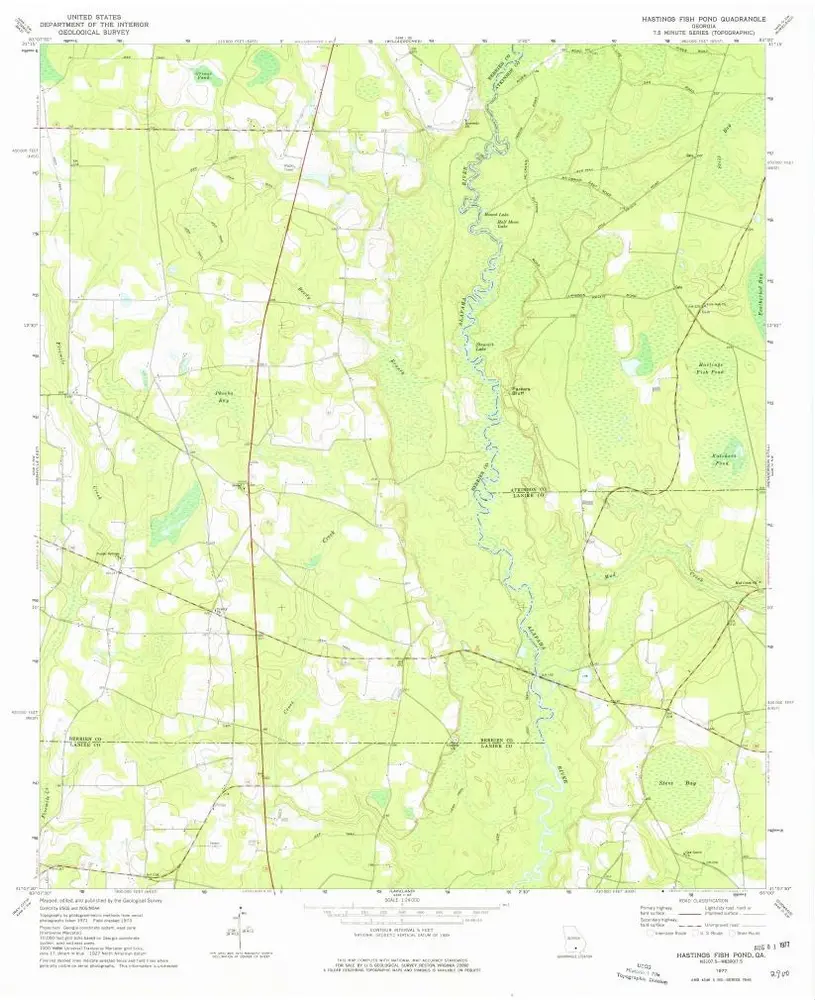
Hastings Fish Pond
1977
1:24k
Nashville East
1978
1:24k
Stockton
1971
1:24k
Sirmans
1972
1:24k
Sirmans
1972
1:24k
L'histoire