Skatalogowana mapa
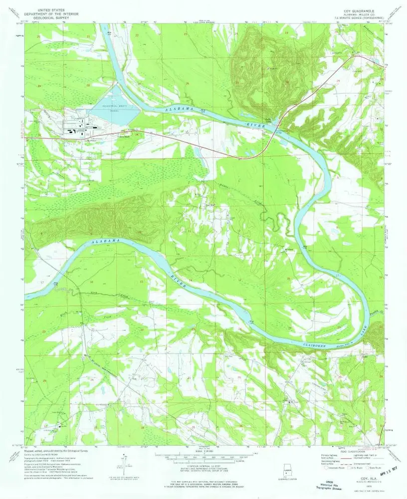
Coy

Instytucja:United States Geological Survey
Pełny tytuł:Coy
Rok ilustracji:1973
Data publikacji:1977
Skala mapy:1:24 000
Coy
1973
1:24k
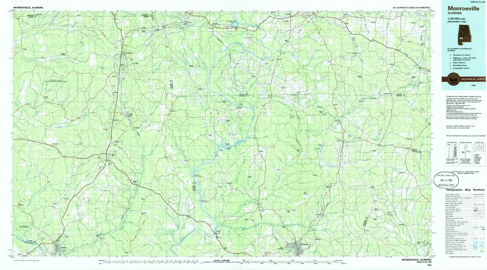
Monroeville
1986
1:100k
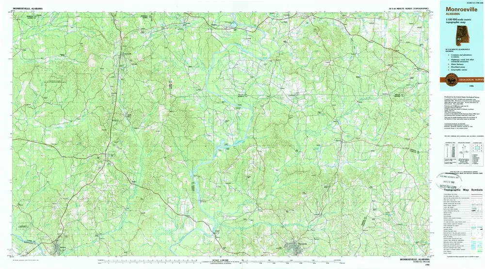
Monroeville
1986
1:100k
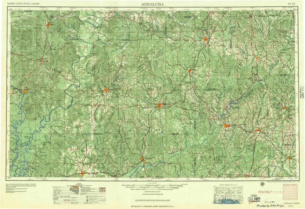
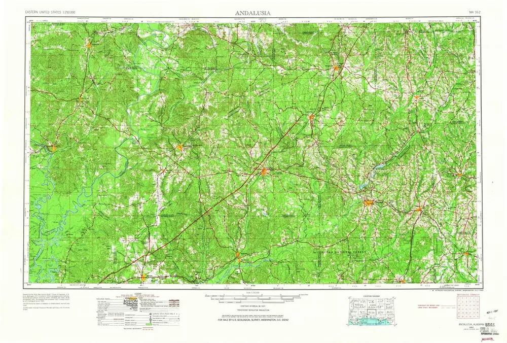
Andalusia
1957
1:250k
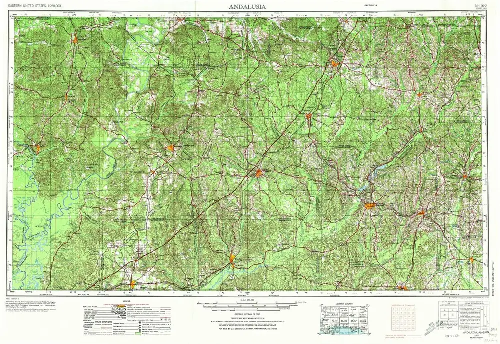
Andalusia
1953
1:250k
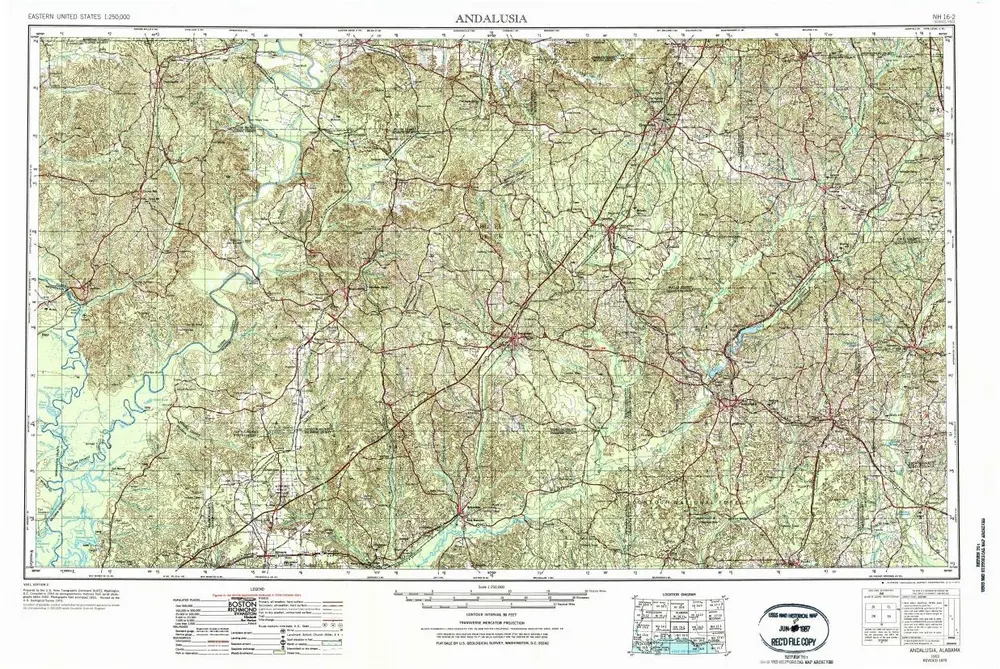
Andalusia
1953
1:250k
Andalusia
1953
1:250k
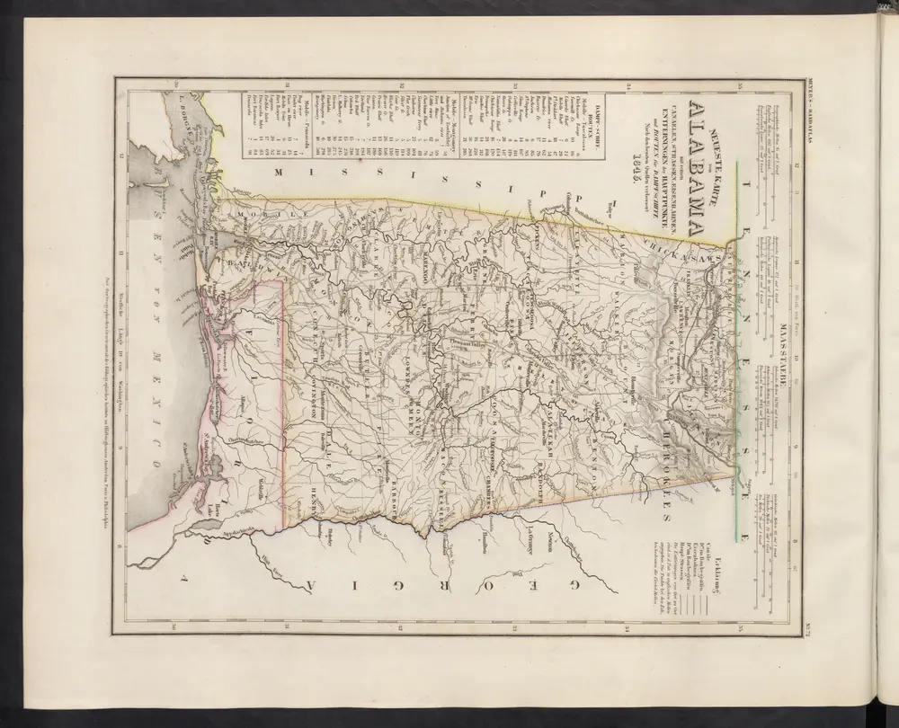
Neueste Karte von Alabama mit seinen Canaelen, Strassen, Eisenbahnen, Entfernungen der Hauptpunkte und Routen für Dampfschiffe
1860
Meyer, J.
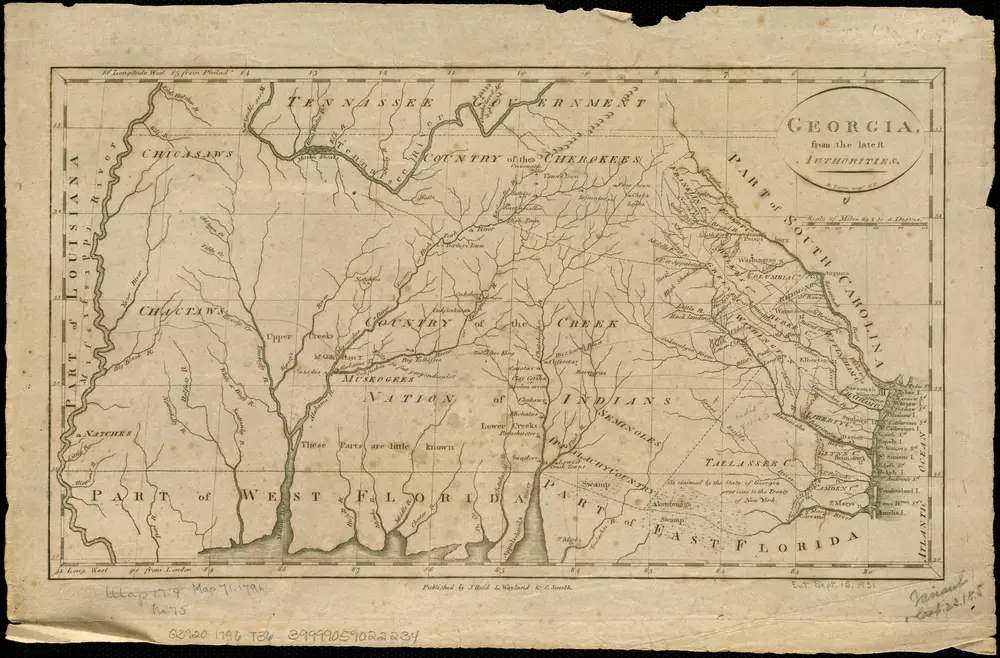
Georgia, from the latest authorities
1796
Tanner, Benjamin
1:3m
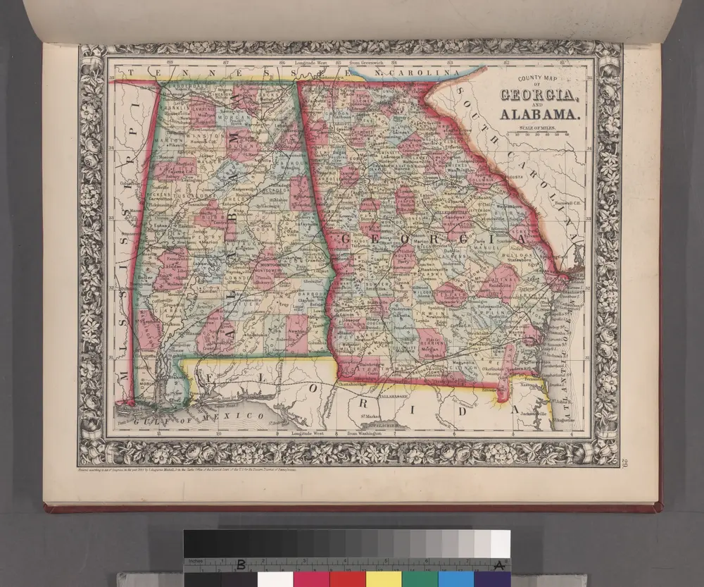
County map of Georgia and Alabama.
1860