Project
Gemeenschap
Nieuws
Mijn app
Mijn kaarten
Skatalogowana mapa
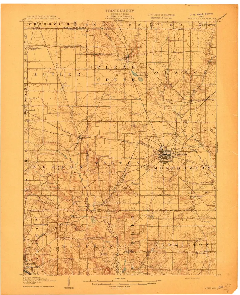
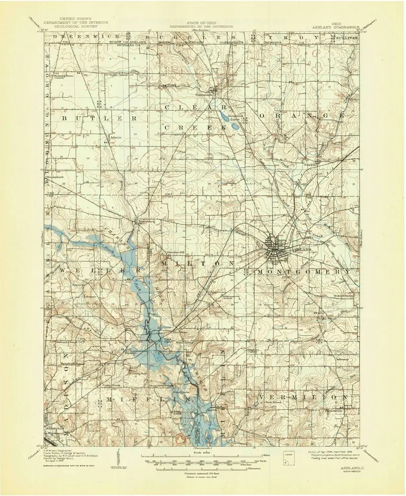
Ashland
Bekijk op externe website
Bekijk gedigitaliseerd
Instytucja:
United States Geological Survey
Pełny tytuł:
Ashland
Rok ilustracji:
1908
Skala mapy:
1:62 500
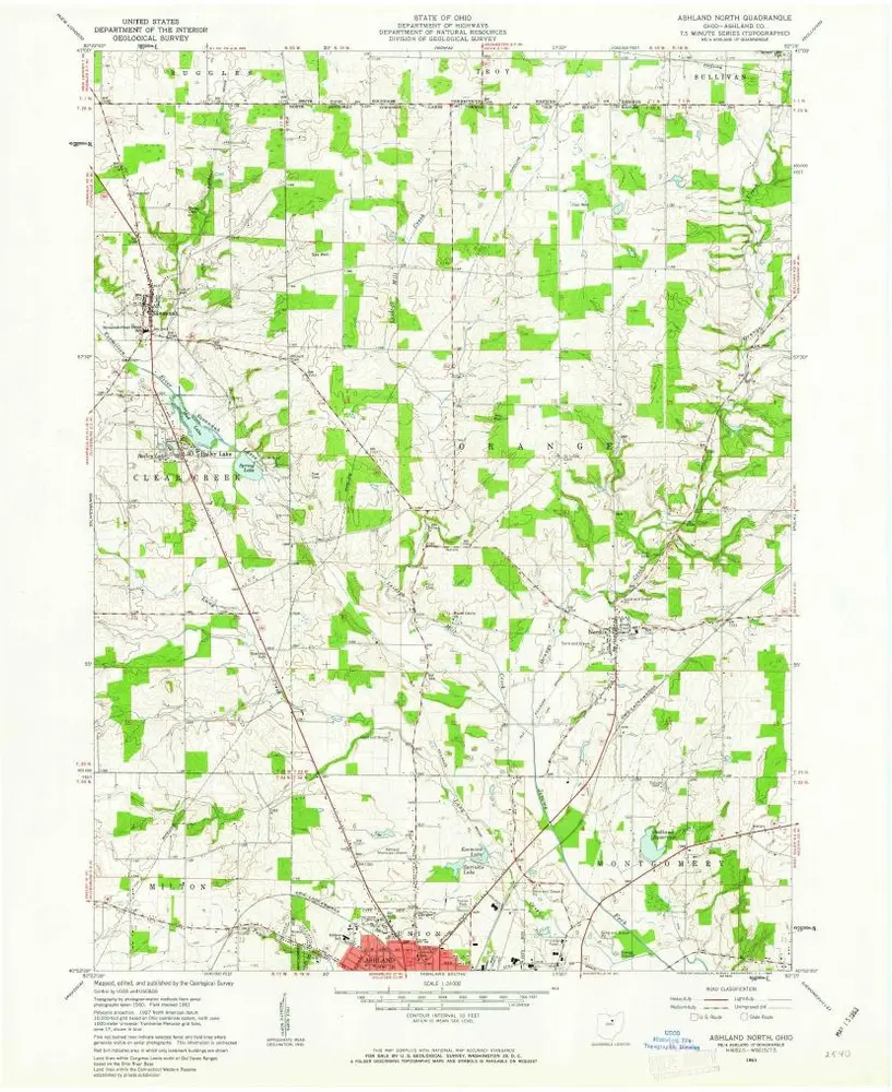
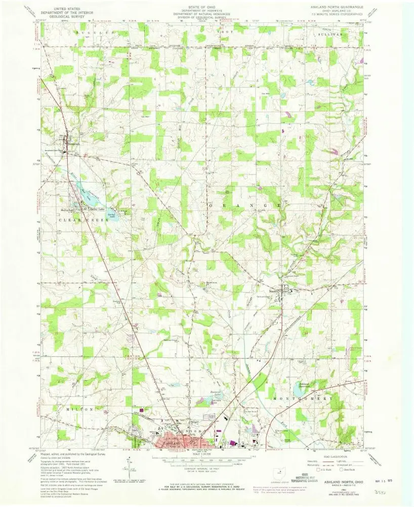
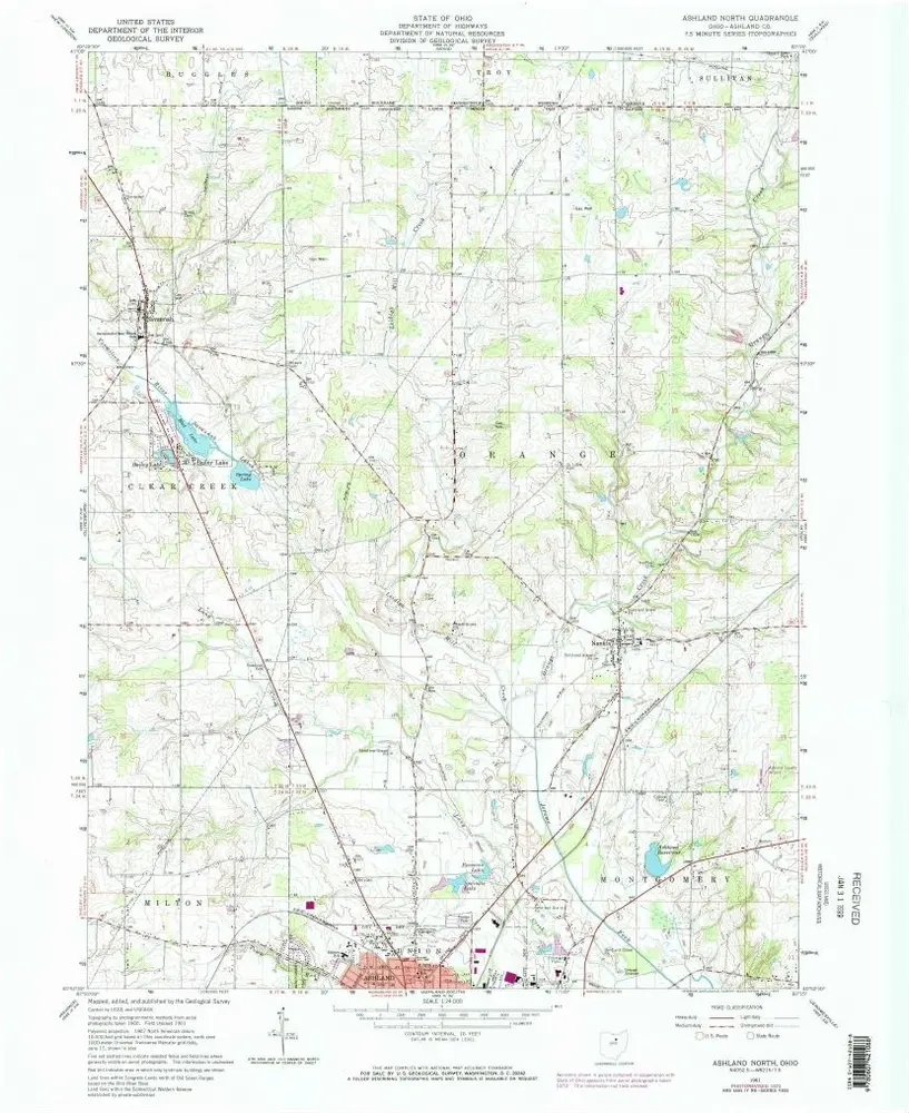
Ashland North
1961
1:24k
Ashland North
1961
1:24k
Ashland North
1961
1:24k
Ashland
1908
1:63k
Ashland
1908
1:63k
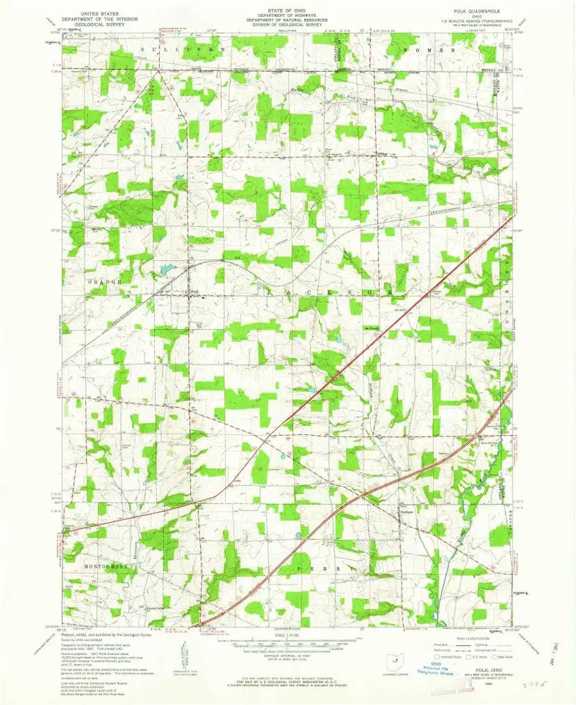
Polk
1961
1:24k
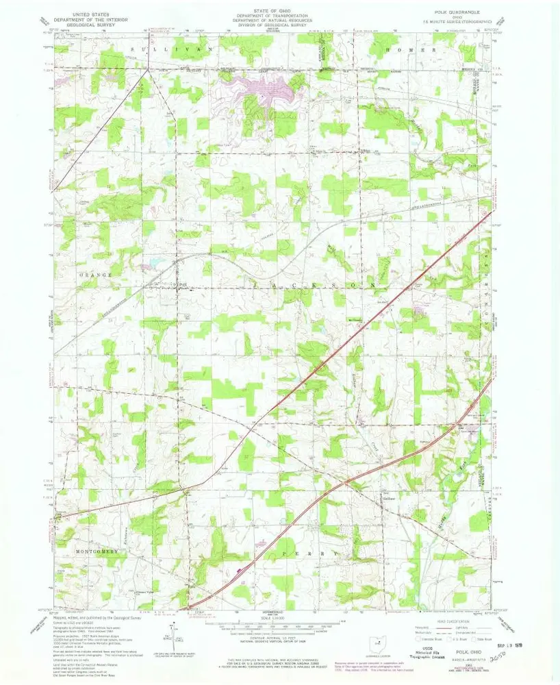
Polk
1961
1:24k
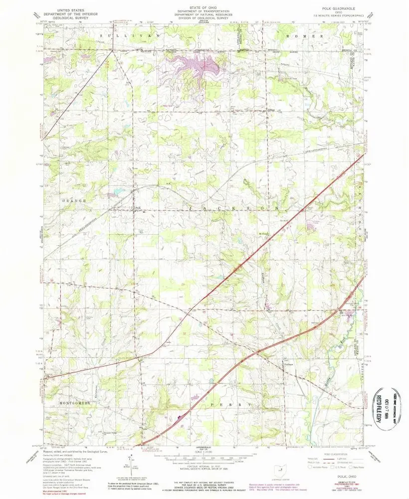
Polk
1961
1:24k
Mansfield
1994
1:100k
Mansfield
1986
1:100k
Historia