Project
Gemeenschap
Nieuws
Mijn app
Mijn kaarten
Katalogisierte Karte
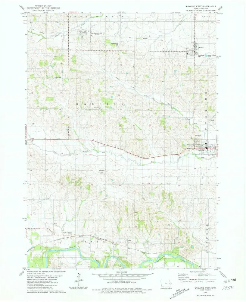
Wyoming West
Bekijk op externe website
Bekijk gedigitaliseerd
Einrichtung:
United States Geological Survey
Vollständiger Titel:
Wyoming West
Jahr der Abbildung:
1980
Veröffentlichungsdatum:
1981
Maßstab der Karte:
1:24 000
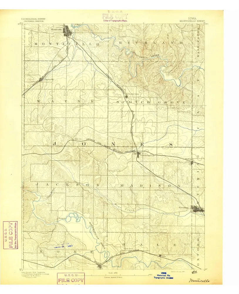
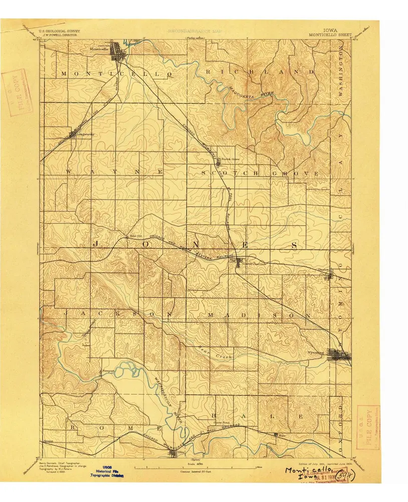
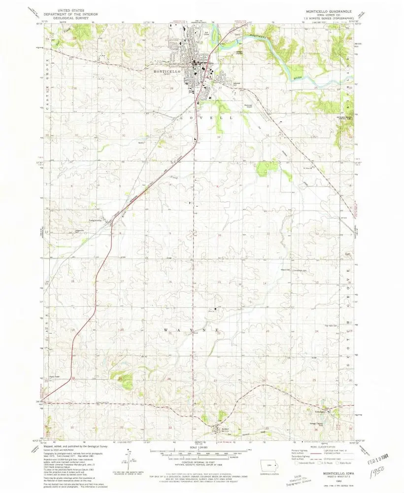
Monticello
1891
1:63k
Monticello
1891
1:63k
Monticello
1891
1:63k
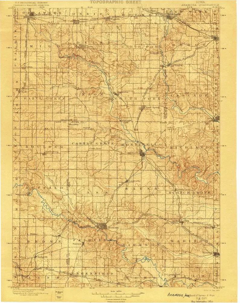
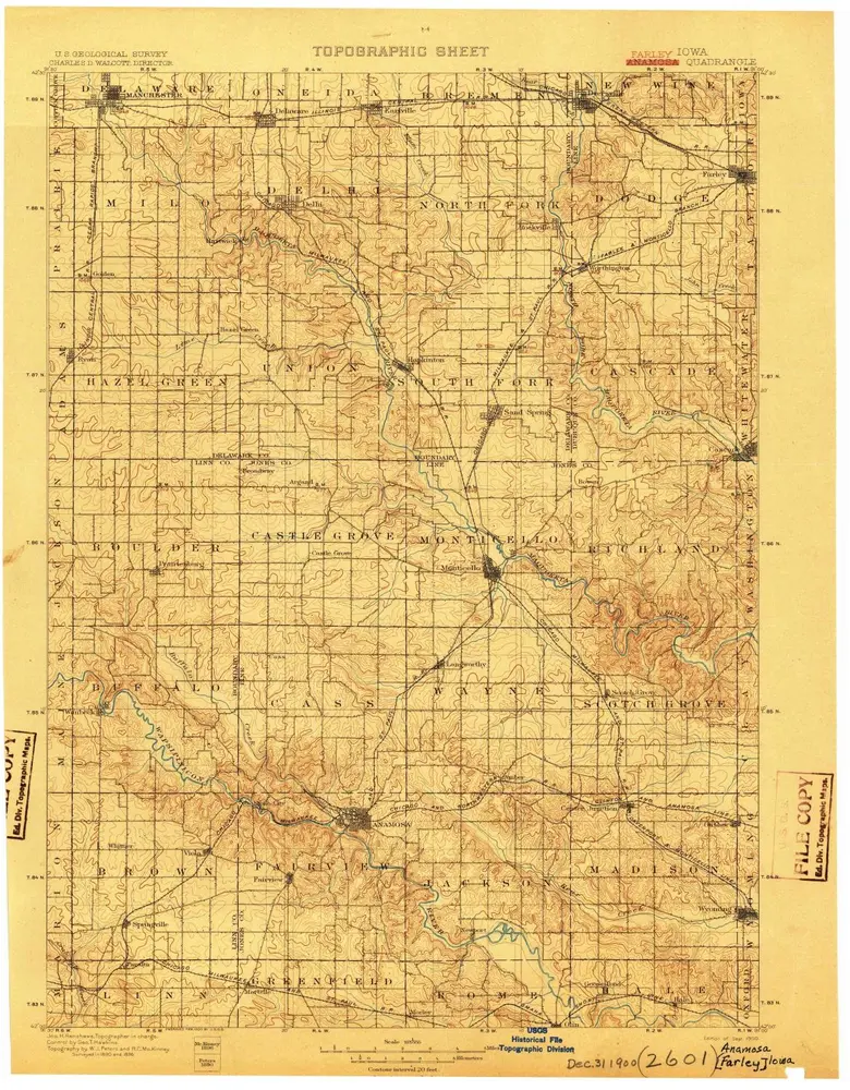
Anamosa
1900
1:125k
Anamosa
1900
1:125k
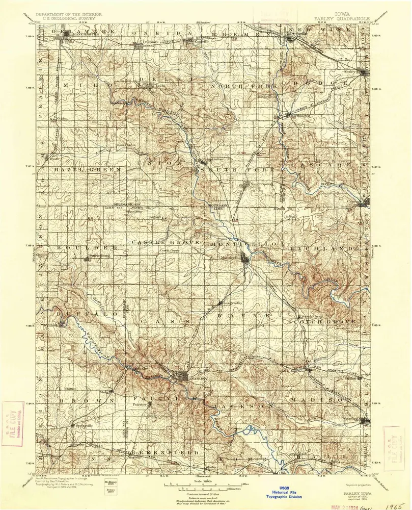
Farley
1900
1:125k
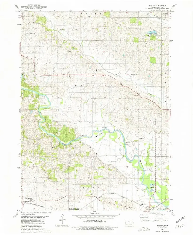
Morley
1980
1:24k
Wyoming West
1980
1:24k
Monticello
1980
1:24k
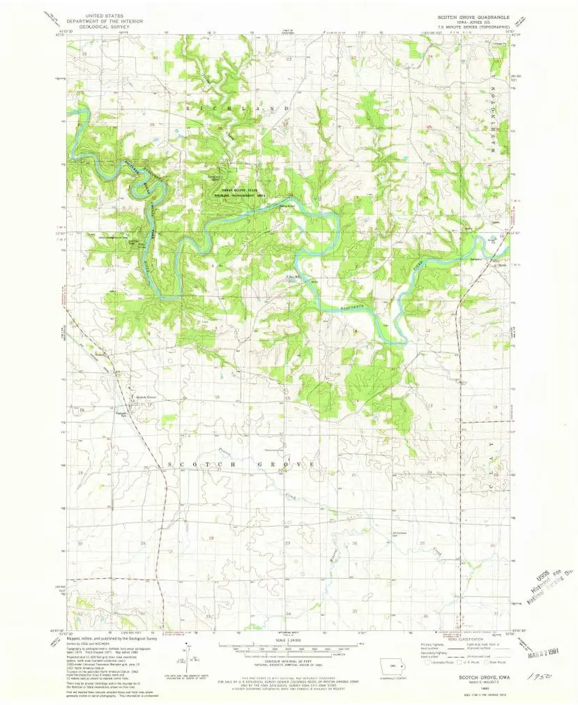
Scotch Grove
1980
1:24k
Geschichte