Project
Gemeenschap
Nieuws
Mijn app
Mijn kaarten
Cataloged map
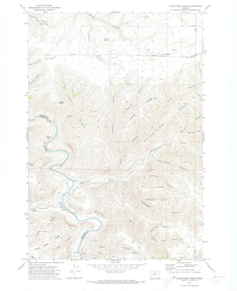
Shoestring Ridge
Bekijk op externe website
Bekijk gedigitaliseerd
Institution:
United States Geological Survey
Full title:
Shoestring Ridge
Depicted:
1970
Pubdate:
1973
Map scale:
1:24 000
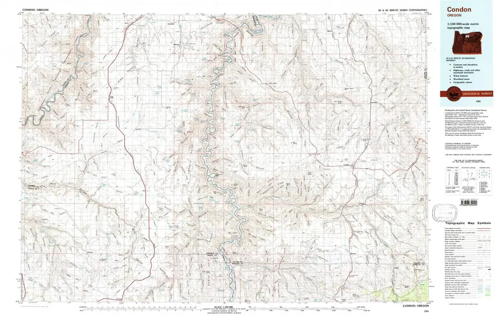
Condon
1981
1:100k
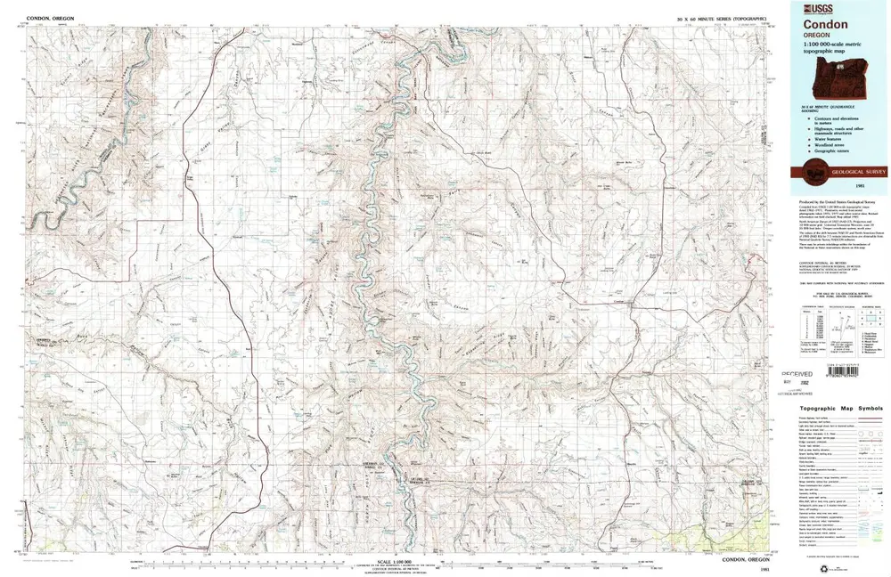
Condon
1981
1:100k
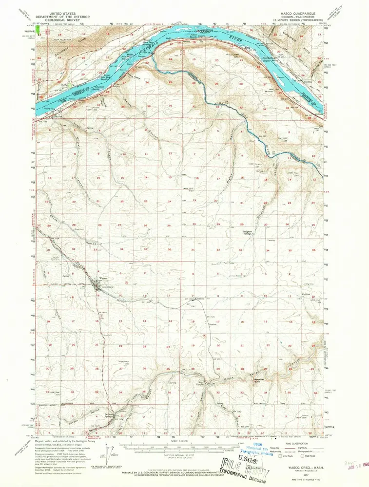
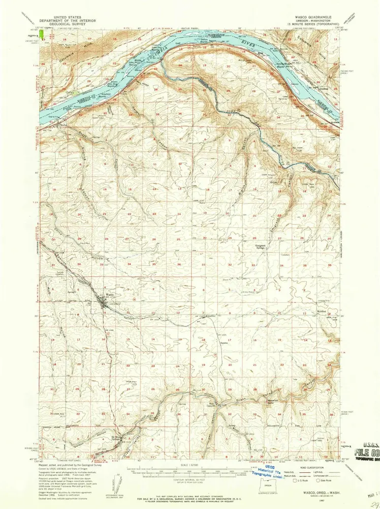
Wasco
1957
1:63k
Wasco
1957
1:63k
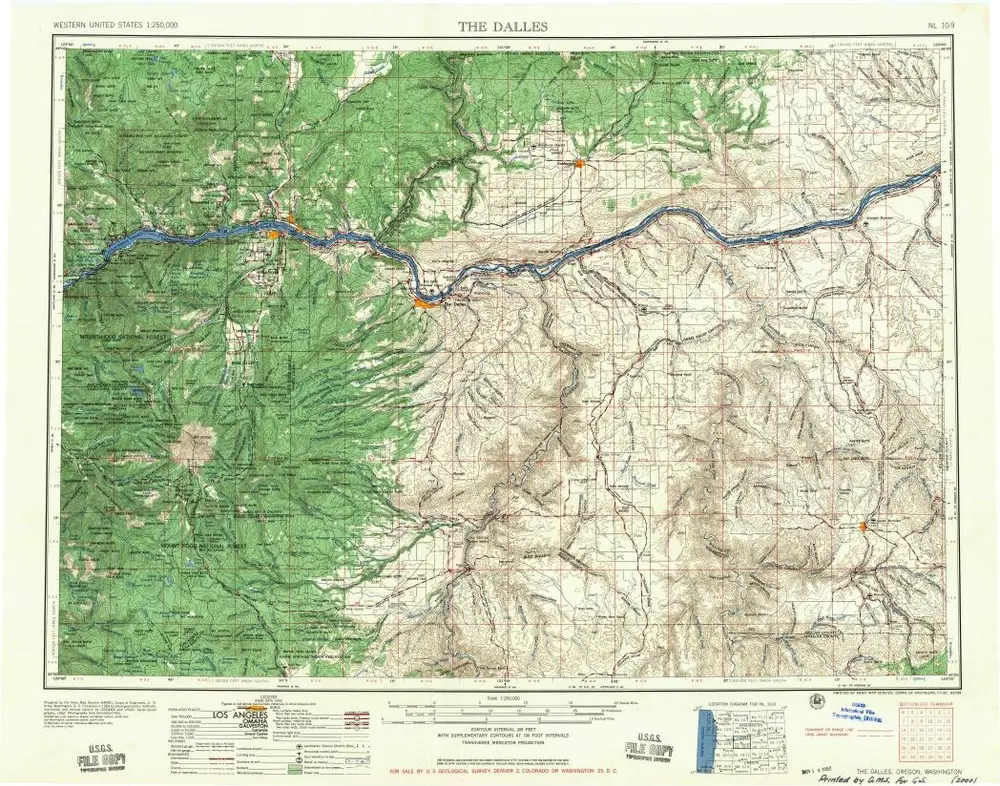
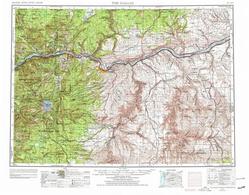
The Dalles
1957
1:250k
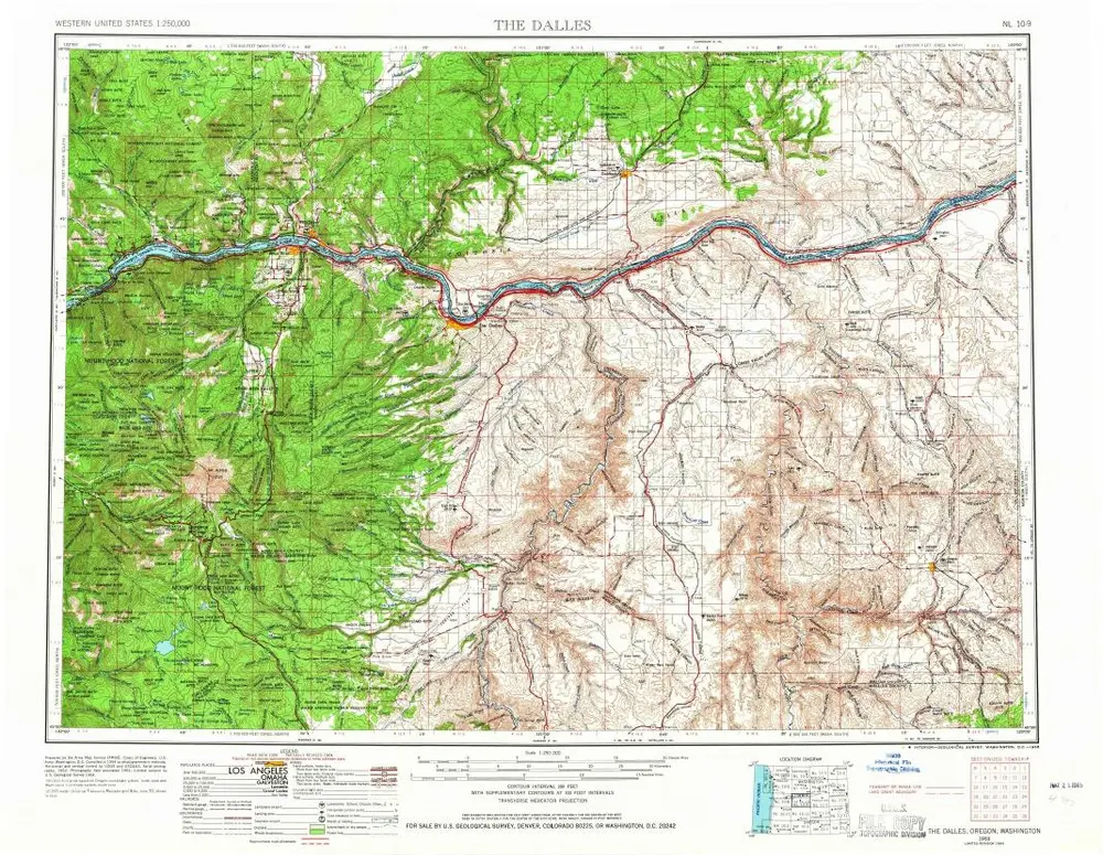
The Dalles
1953
1:250k
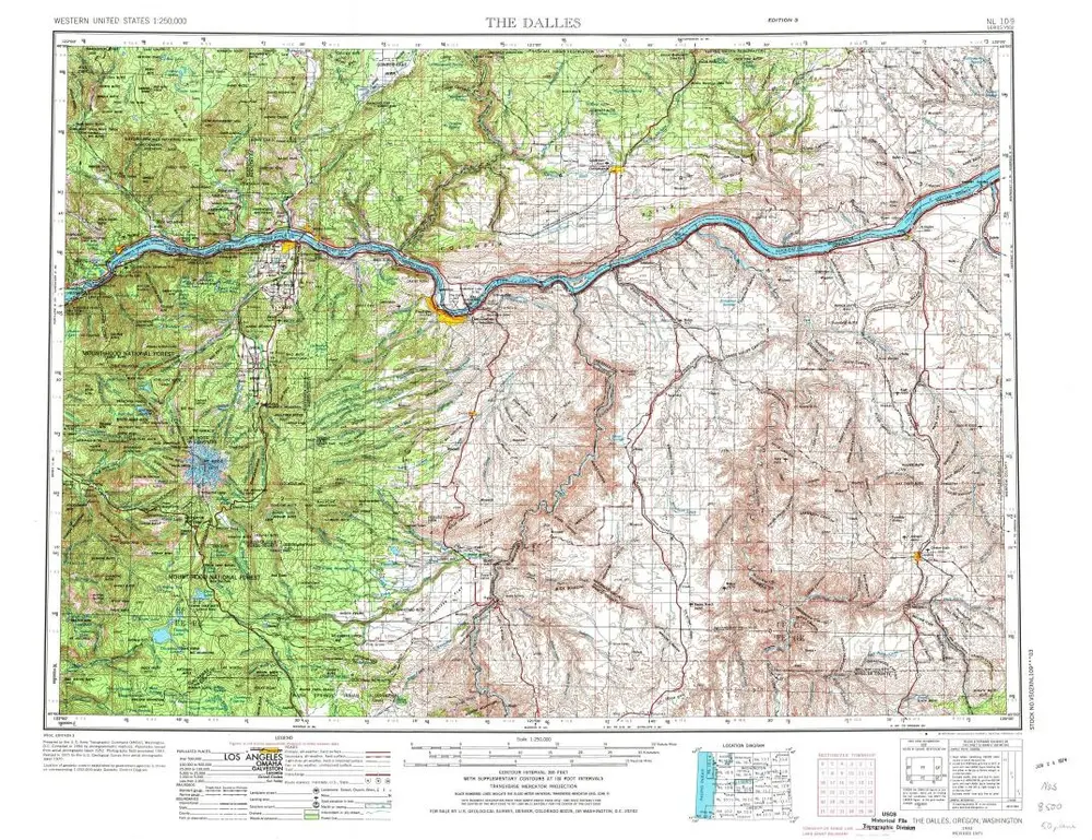
The Dalles
1953
1:250k
The Dalles
1953
1:250k
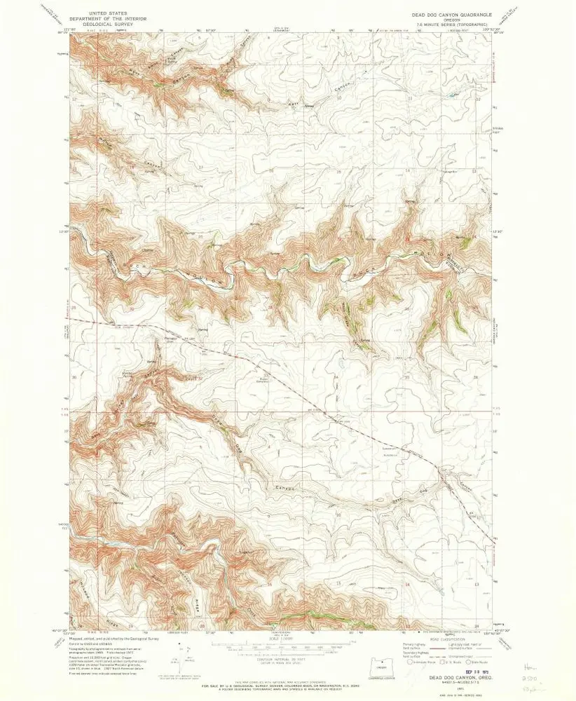
Dead Dog Canyon
1971
1:24k
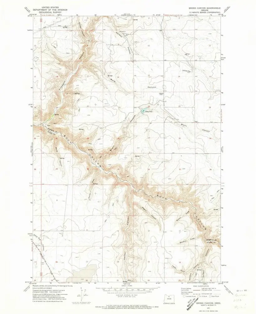
Bronx Canyon
1971
1:24k
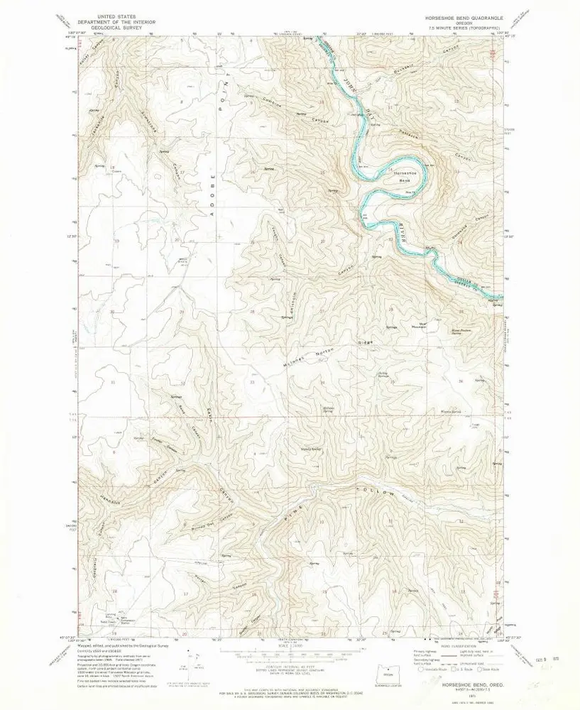
Horseshoe Bend
1971
1:24k
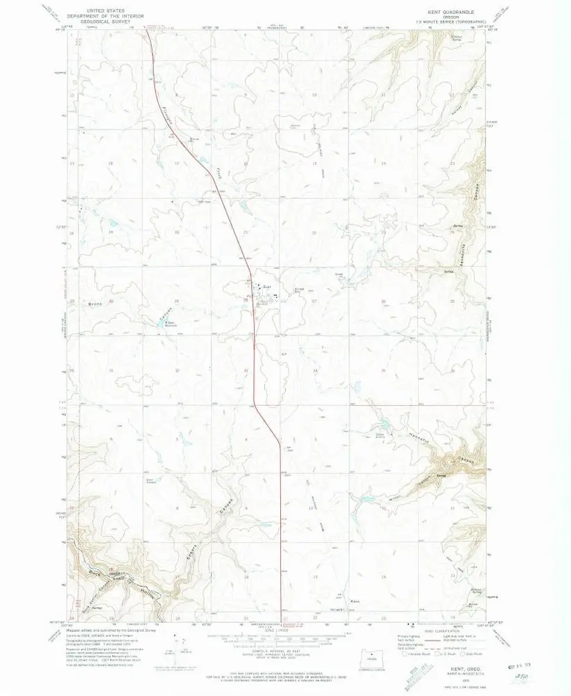
Kent
1970
1:24k
Shoestring Ridge
1970
1:24k
History