Project
Gemeenschap
Nieuws
Mijn app
Mijn kaarten
Katalogisierte Karte
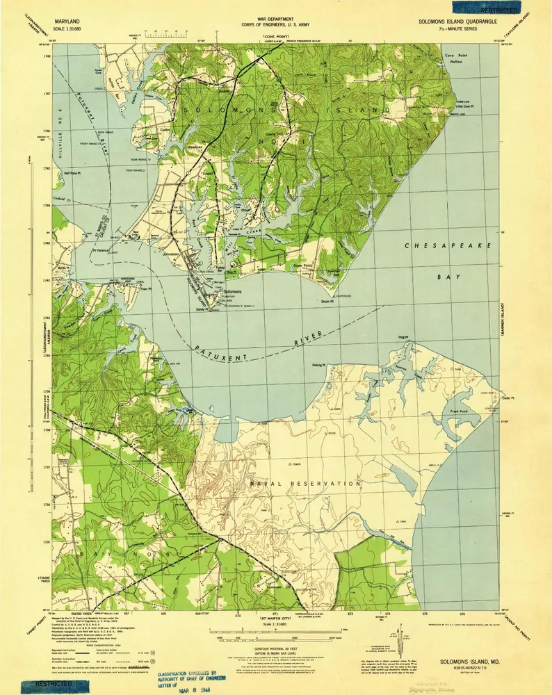
Solomons Island
Bekijk op externe website
Bekijk gedigitaliseerd
Einrichtung:
United States Geological Survey
Vollständiger Titel:
Solomons Island
Jahr der Abbildung:
1944
Maßstab der Karte:
1:31 680
Solomons Island
1944
1:24k
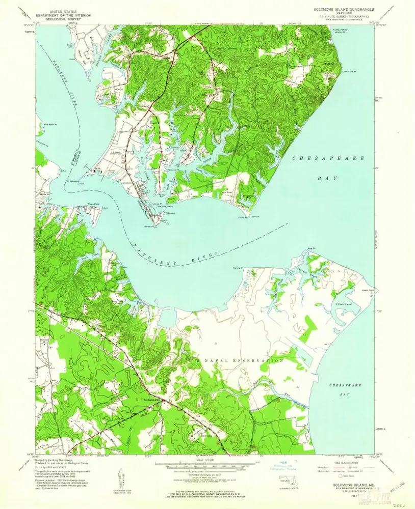
Solomons Island
1944
1:24k
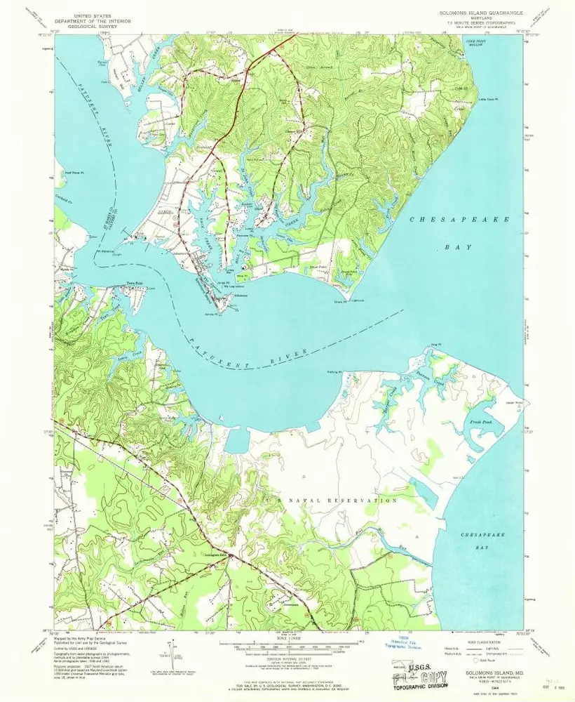
Solomons Island
1944
1:24k
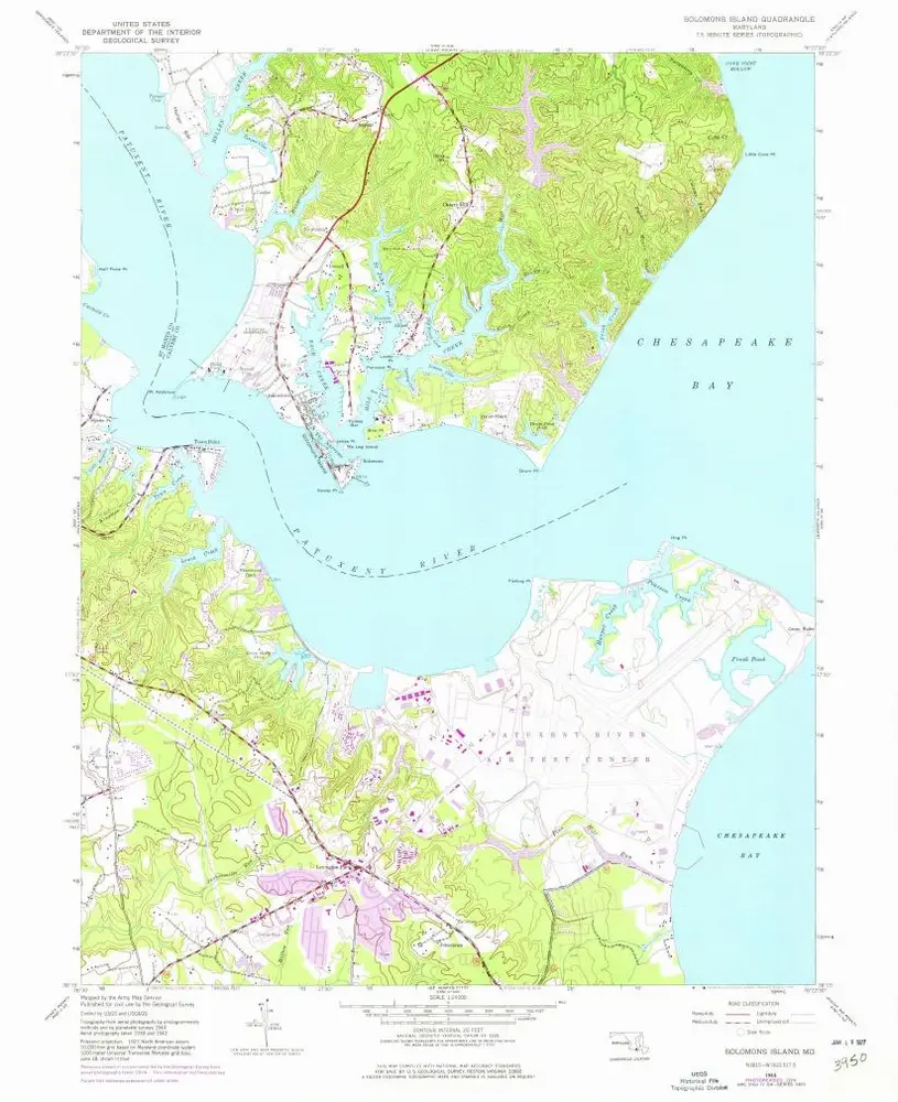
Solomons Island
1944
1:32k
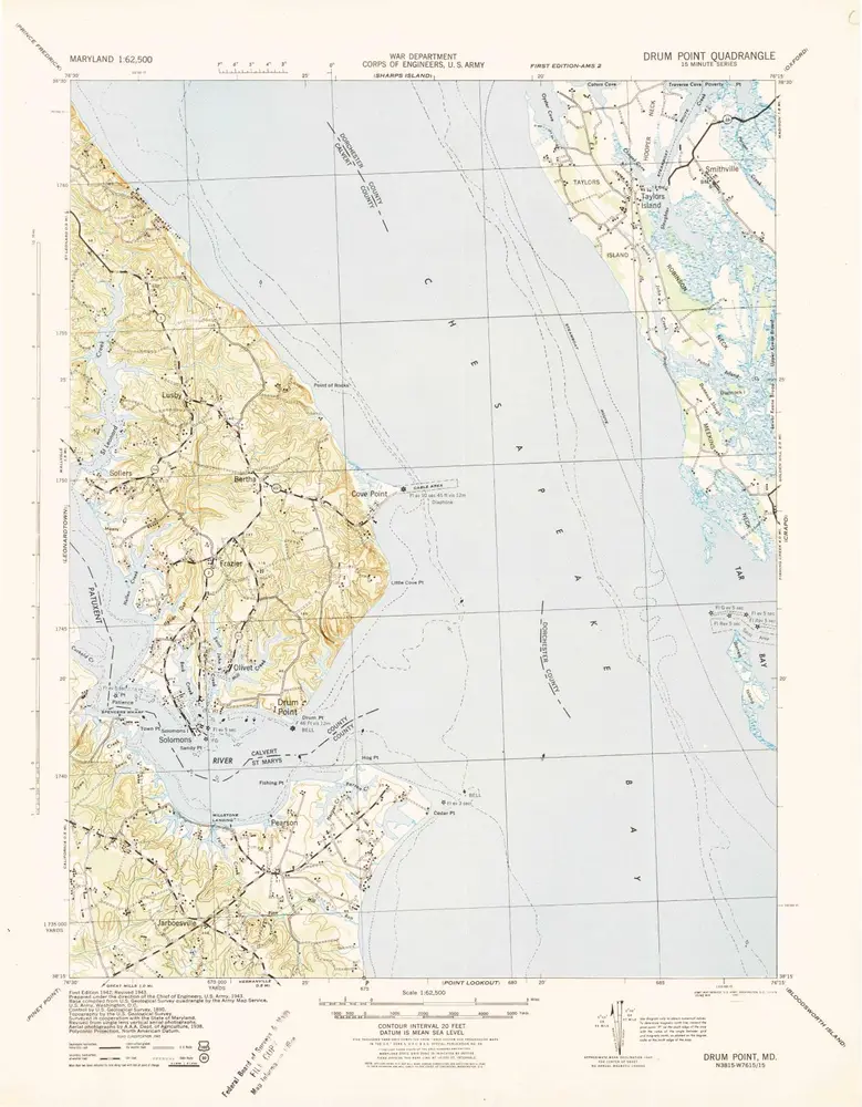
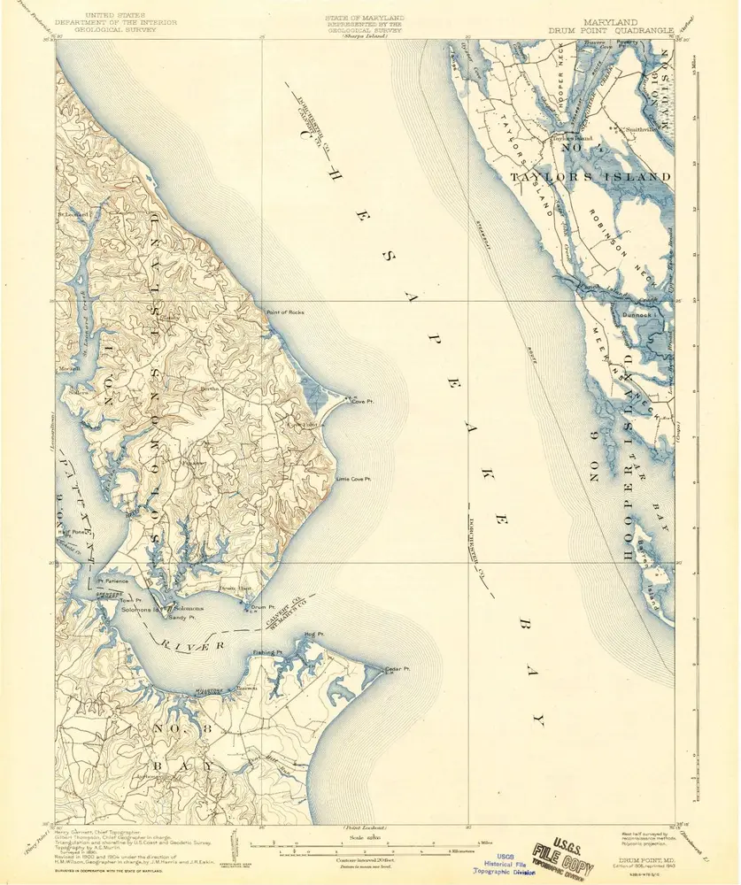
Drum Point
1942
1:63k
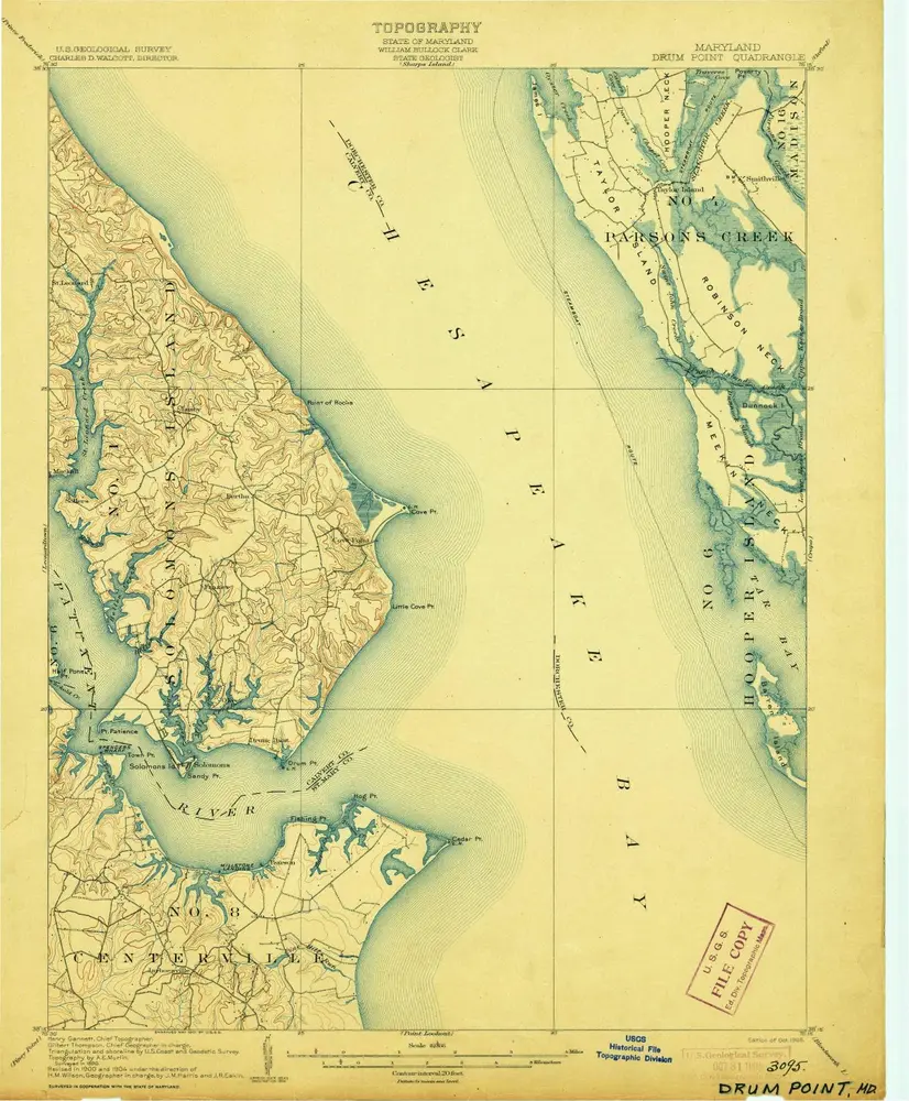
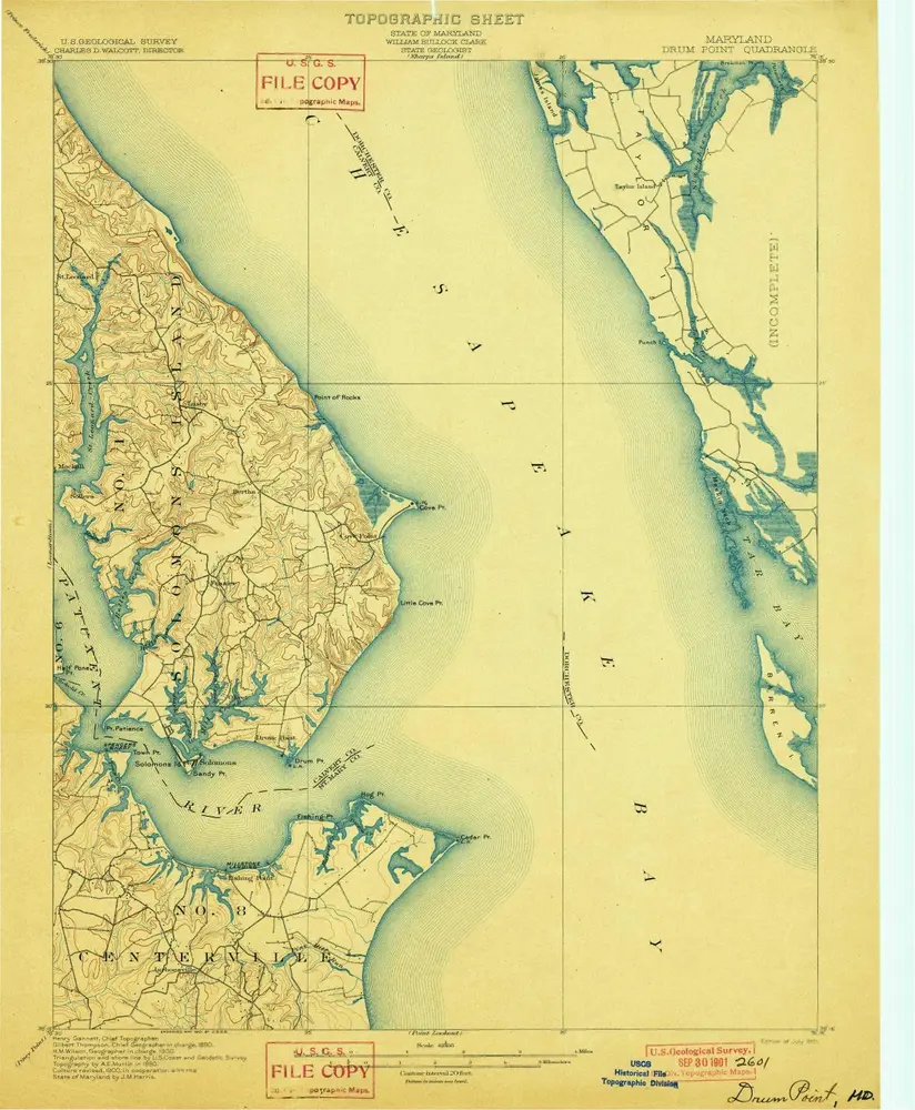
Drum Point
1905
1:63k
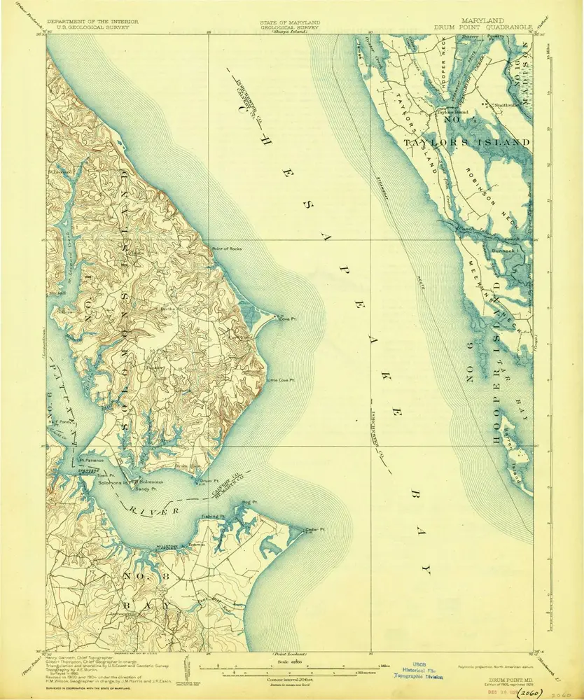
Drum Point
1905
1:63k
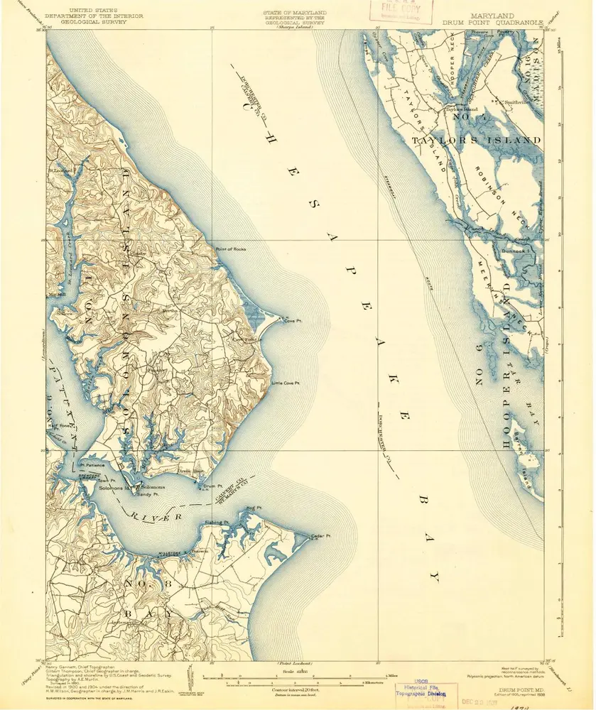
Drum Point
1905
1:63k
Drum Point
1905
1:63k
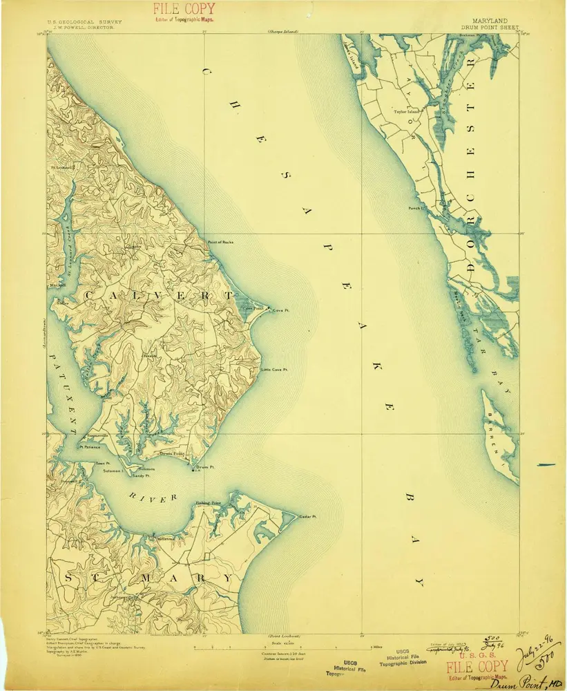
Drum Point
1901
1:63k
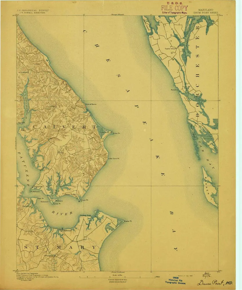
Drum Point
1892
1:63k
Drum Point
1892
1:63k
Geschichte