Skatalogowana mapa
Guys

Instytucja:United States Geological Survey
Pełny tytuł:Guys
Rok ilustracji:1951
Data publikacji:1969
Skala mapy:1:24 000
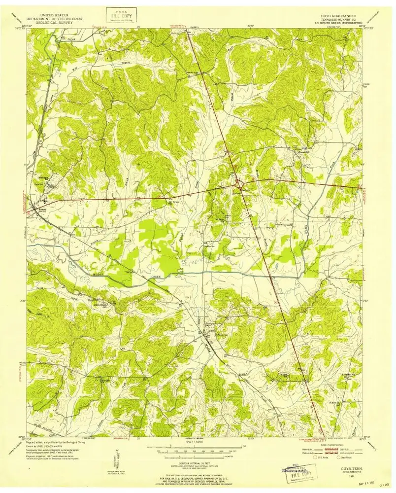
Guys
1951
1:24k
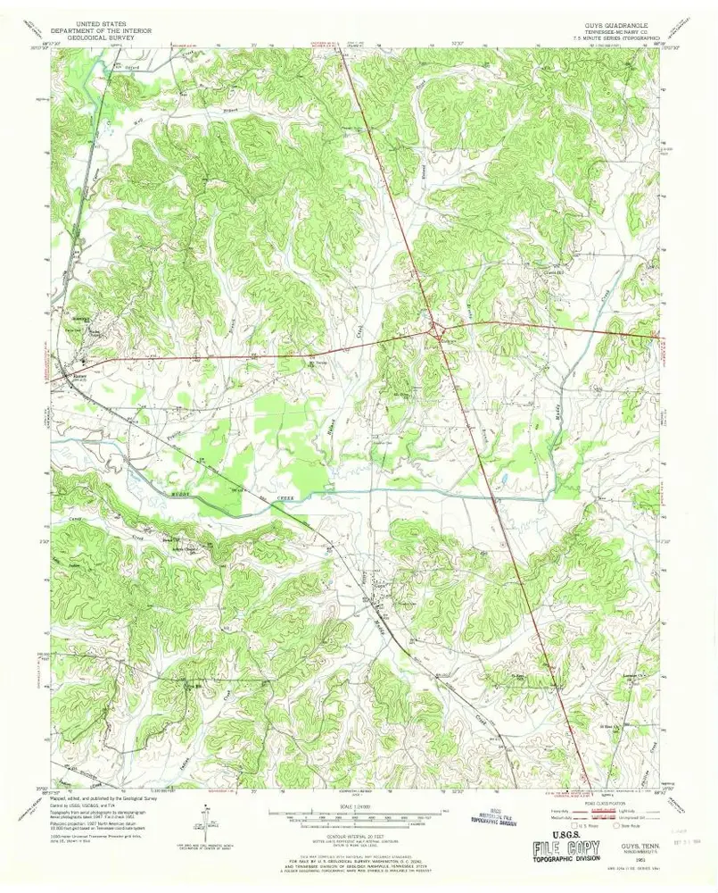
Guys
1951
1:24k
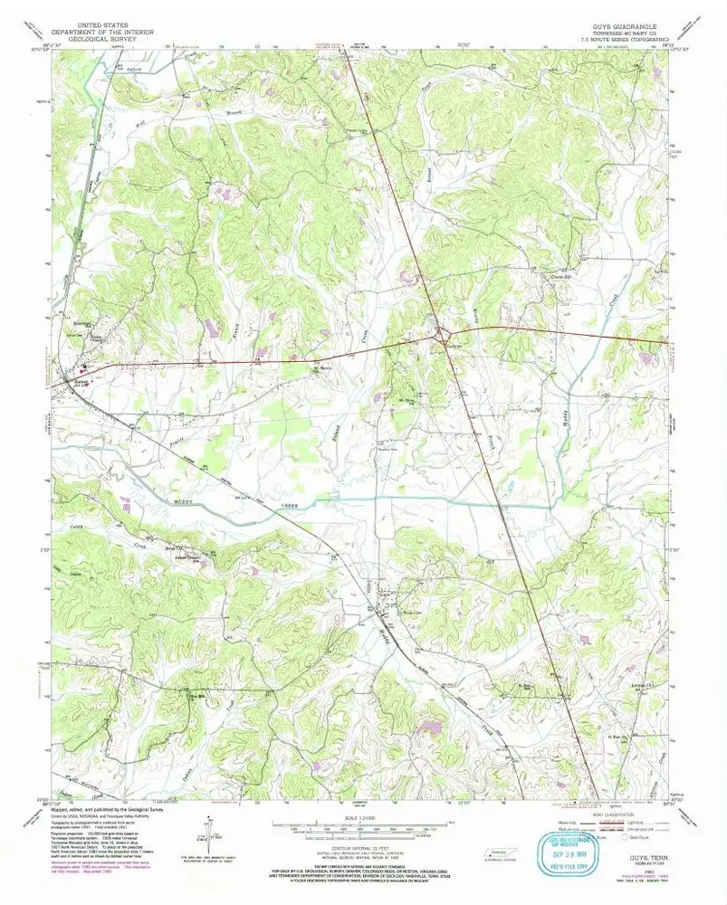
Guys
1951
1:24k
Map of the country between Monterey, Tenn. & Corinth, Miss. : showing the lines of entrenchments made & the routes followed by the U.S. forces under the command of Maj. Genl. Halleck, U.S. Army, in their advance upon Corinth in May 1862
1862
Matz, Otto H., 1830-1919
1:32k
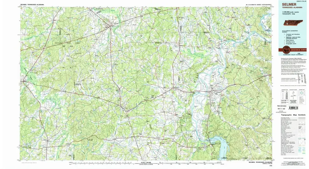
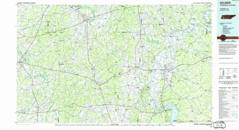
Selmer
1986
1:100k
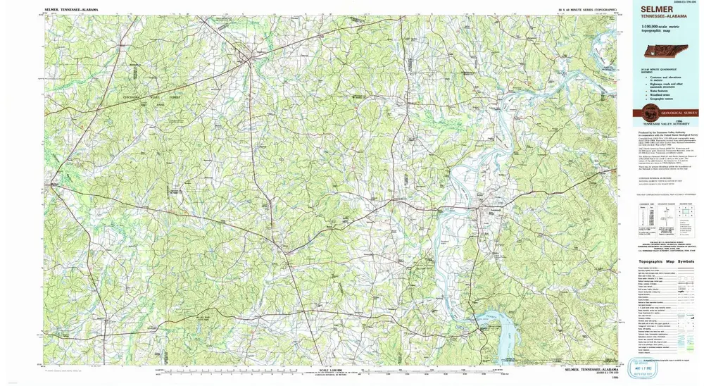
Selmer
1986
1:100k
Selmer
1986
1:100k
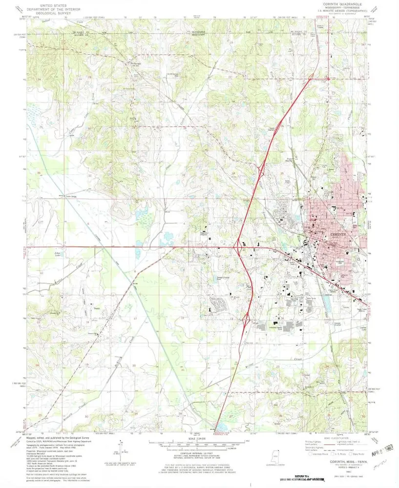
Corinth
1982
1:24k
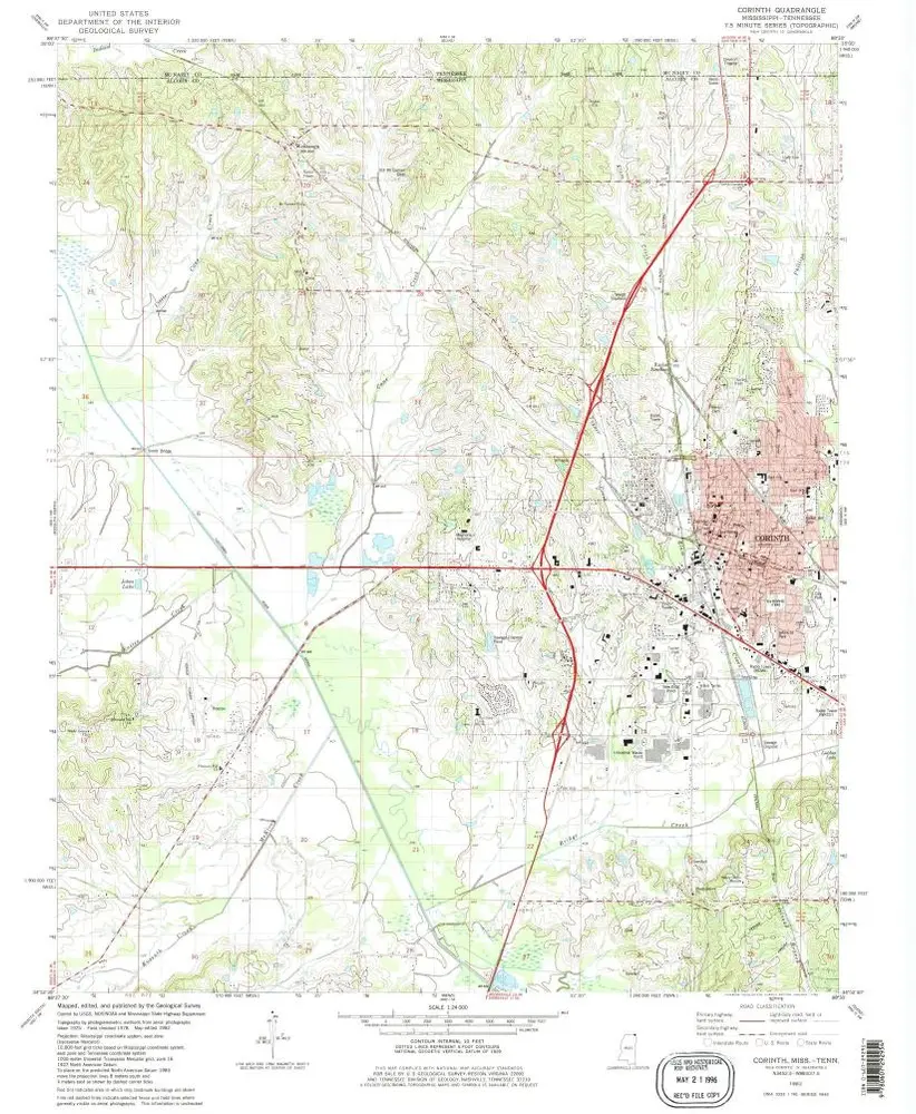
Corinth
1982
1:24k
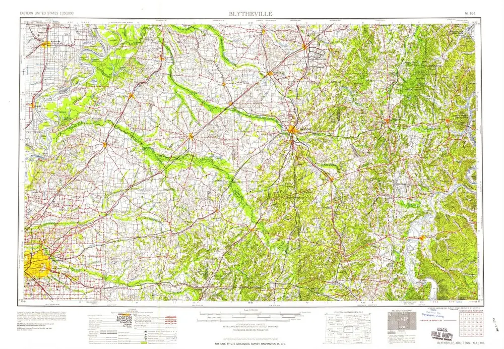
Blytheville
1959
1:250k
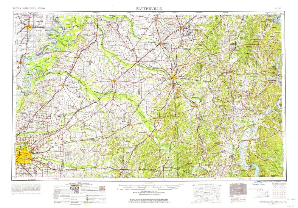
Blytheville
1956
1:250k
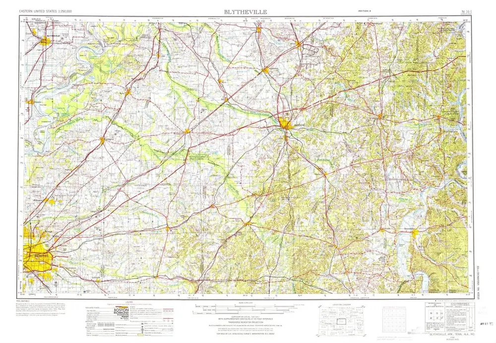
Blytheville
1956
1:250k