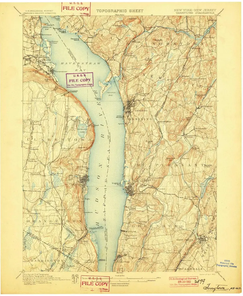
Carte cataloguée
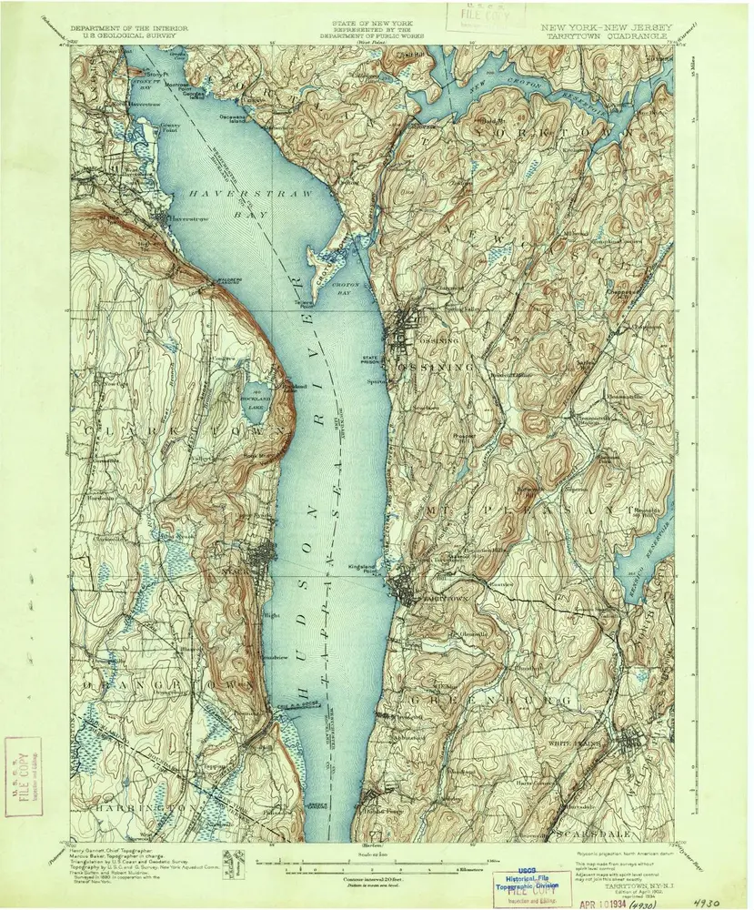
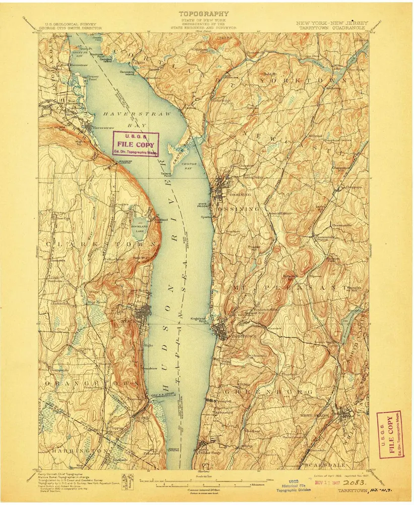
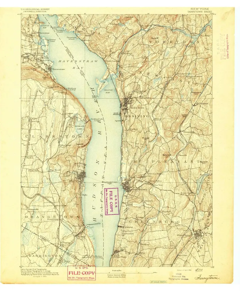
Tarrytown

Institution:United States Geological Survey
Titre complet:Tarrytown
Année de l'image:1902
Date de publication:1903
Échelle de la carte:1:62 500
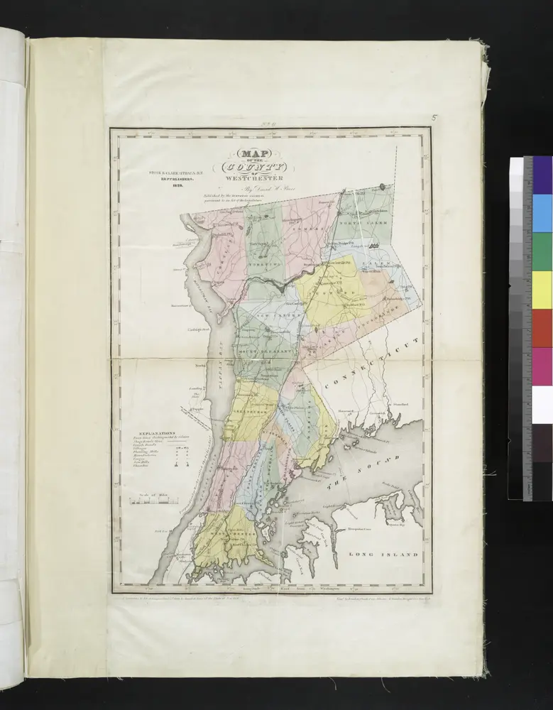
Map of the county of Westchester / by David H. Burr; engd. by Rawdon, Clark & Co., Albany, & Rawdon, Wright & Co., New York.; An atlas of the state of New York, designed for the use of engineers, containing a map of the state and of the several counties. / Projected and drawn ... under the superintendence and direction of Simeon de Witt.
1839
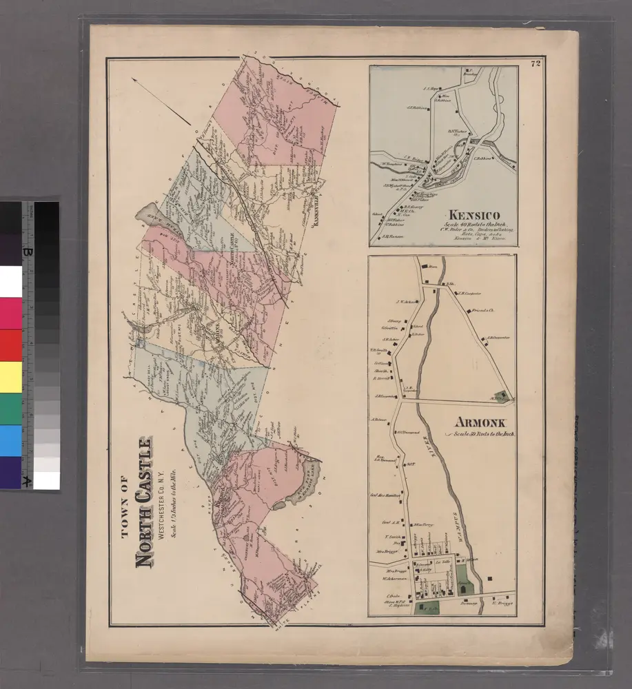
Plate 72: Town of North Castle, Westchester Co. N.Y.
1872
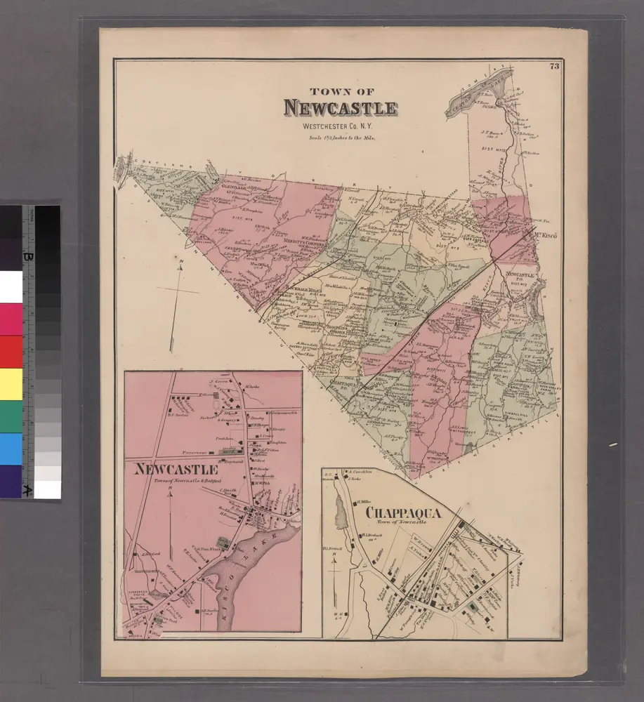
Plate 73: Town of Newcastle, Westchester Co. N.Y.
1872
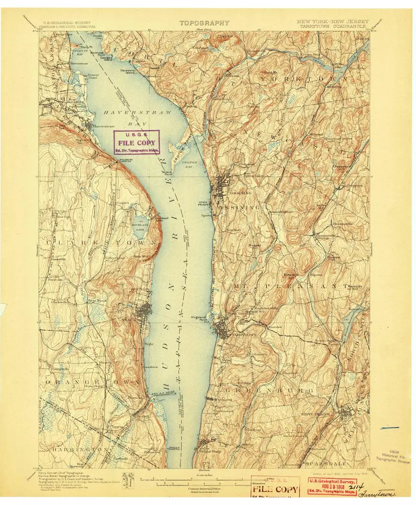
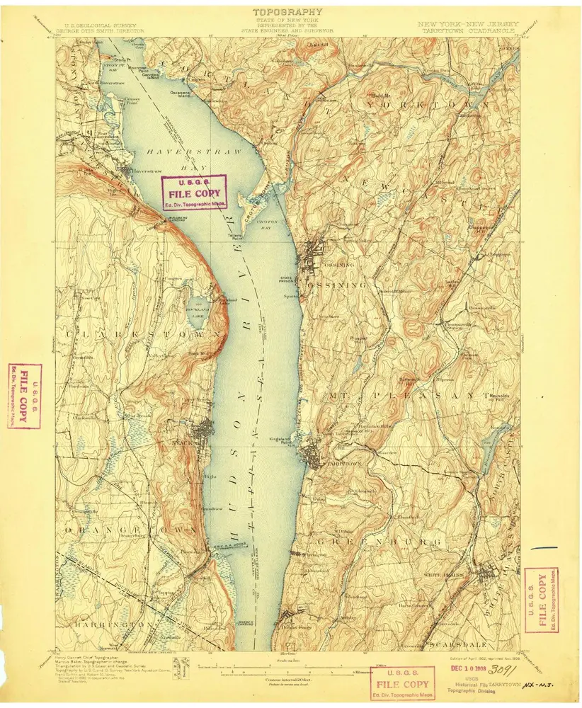
Tarrytown
1902
1:63k
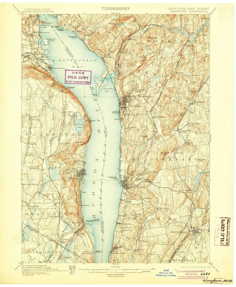
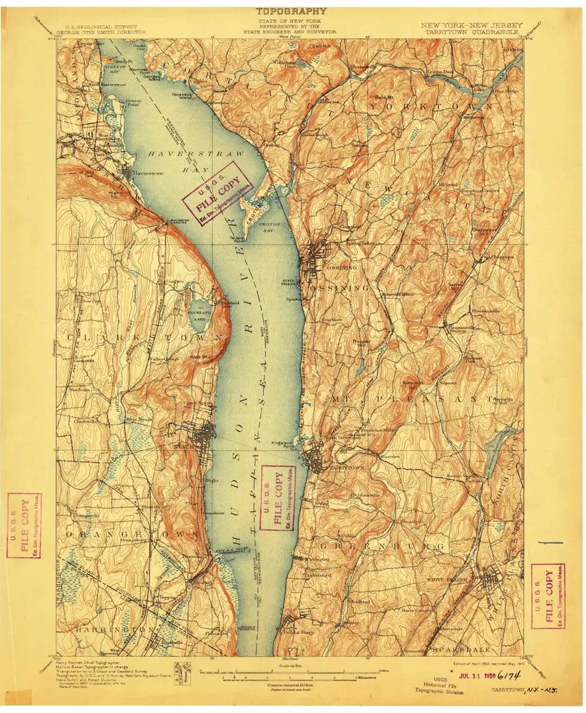
Tarrytown
1902
1:63k
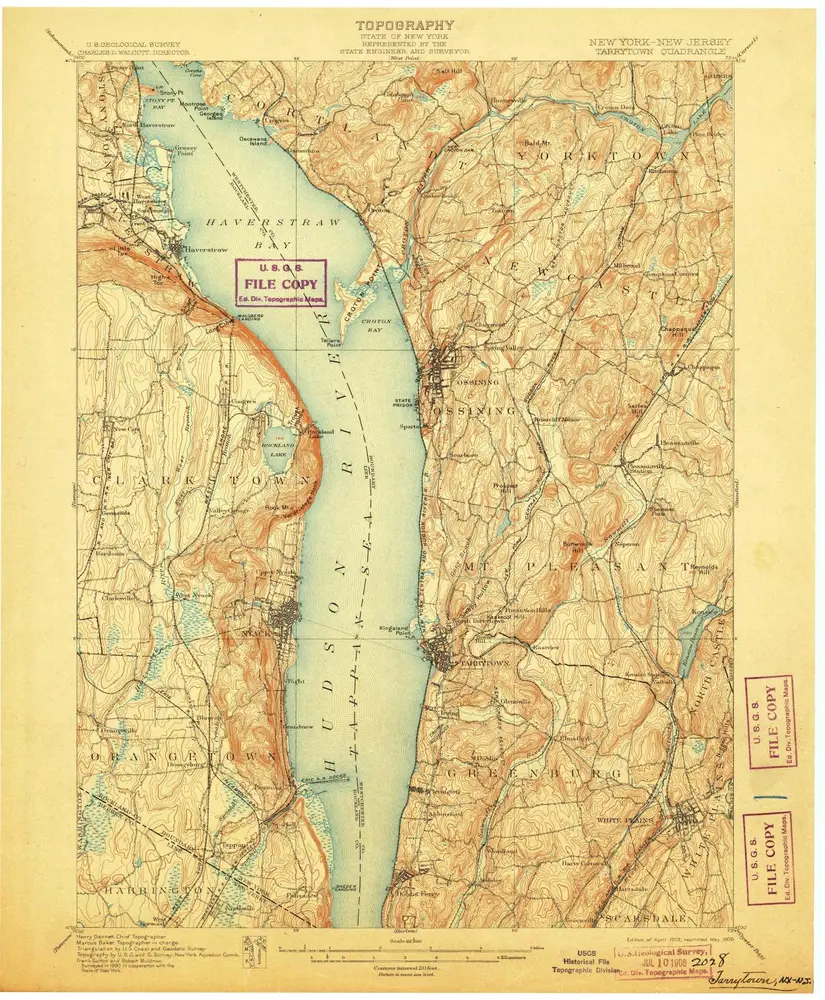
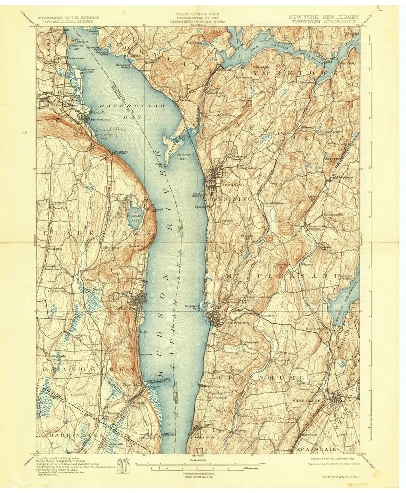
Tarrytown
1902
1:63k
Tarrytown
1902
1:63k
Tarrytown
1902
1:63k
Tarrytown
1902
1:63k
Tarrytown
1902
1:63k
Tarrytown
1902
1:63k
Tarrytown
1902
1:63k
Tarrytown
1892
1:63k