Georeference
Website
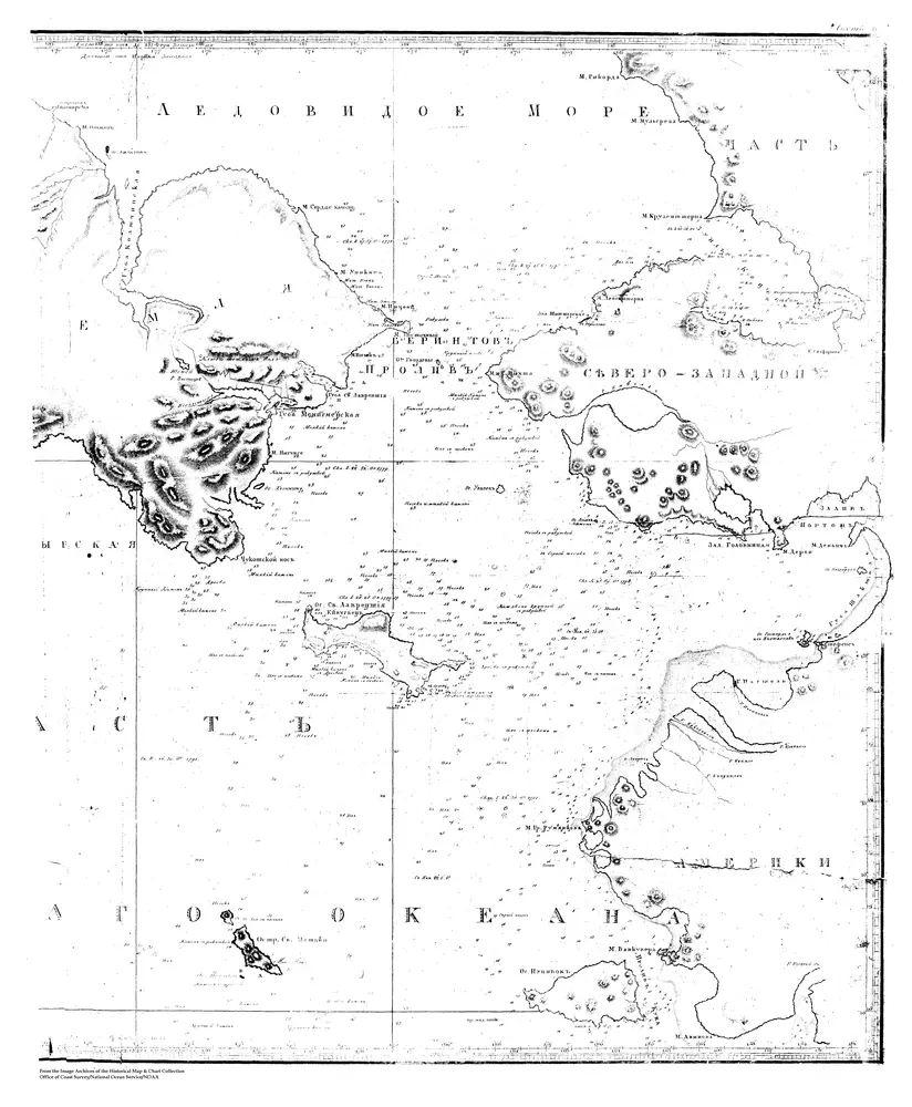
Sarychev Atlas, Sheet 4, 2 of 2, Mercator's Chart of the Bering Strait With Parts of the Pacific Ocean
MSSARY4B
noaa
1826
Marine Topography
76 × 64 cm
1 : 55000